2020 - Late Summer
We did not anticipate fitting in a trip during the 2020 season. As the summer progressed the parks did open up and COVID cases reduced to lure us into making plans. Joshua and I certainly needed to take some vacation...
We decided 2020 was the surprise chance we needed to attempt a one-way crossing of Algonquin, something my brother had been thinking about since his early canoe tripping days. We were late to the party when route planning began: most lakes anywhere near the access points were booked solid. To make the route work we would use none of our pre-conceived ideas of an across-the-park route and instead chose to go straight through the middle.
Our route: Magnetawan, Hambone, Daisy, Little Misty, Misty, Timberwolf, McIntosh, Grassy Bay, White Trout, Big Trout, Merchant, Happy Isle, Opeongo, Wright's, Bonfield, Dickson, Little Dickson, Sundasa, White Partridge, May's, North Branch, Loonskin, Barron, Green Leaf, Carcajou, Wenda, Grand, Stratton, St. Andrews, High Falls, Ooze, Opalescent, Brigham, and the Barron Canyon.
Day 0 (Saturday): Parking a Car
The story began where it has every year, at "The Camp" near Kearney, Ontario. The planned route was a one way trip, so we had to plant a car at "the end" (Squirrel Rapids) the day before our journey could begin. It was a long drive from Kearney to the "Squirrel Rapids" access point, especially when we didn't want to have to stop anywhere in between. We made it there and back again.
Day 1 (Sunday): Magnetawan To Timberwolf
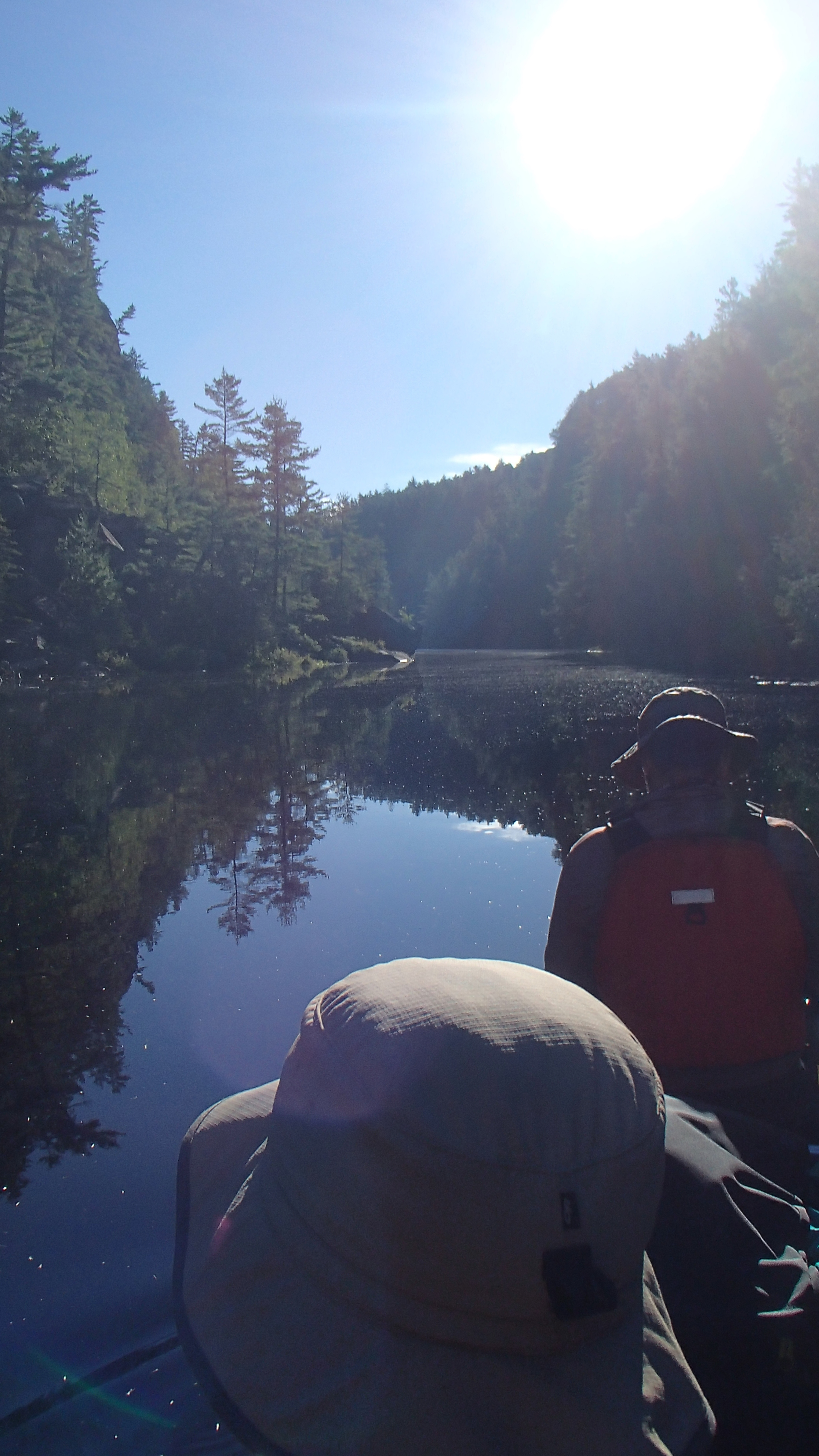
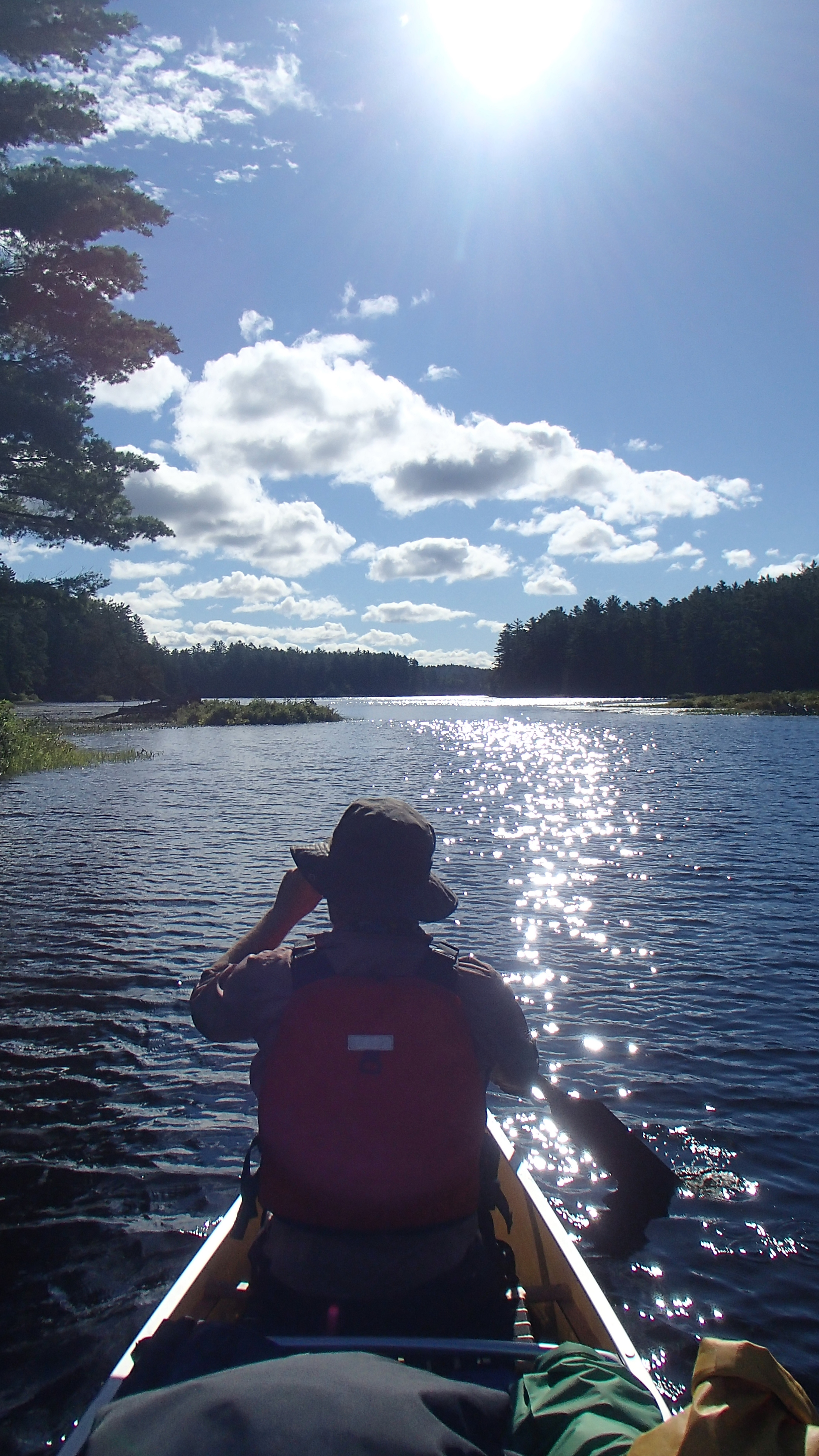
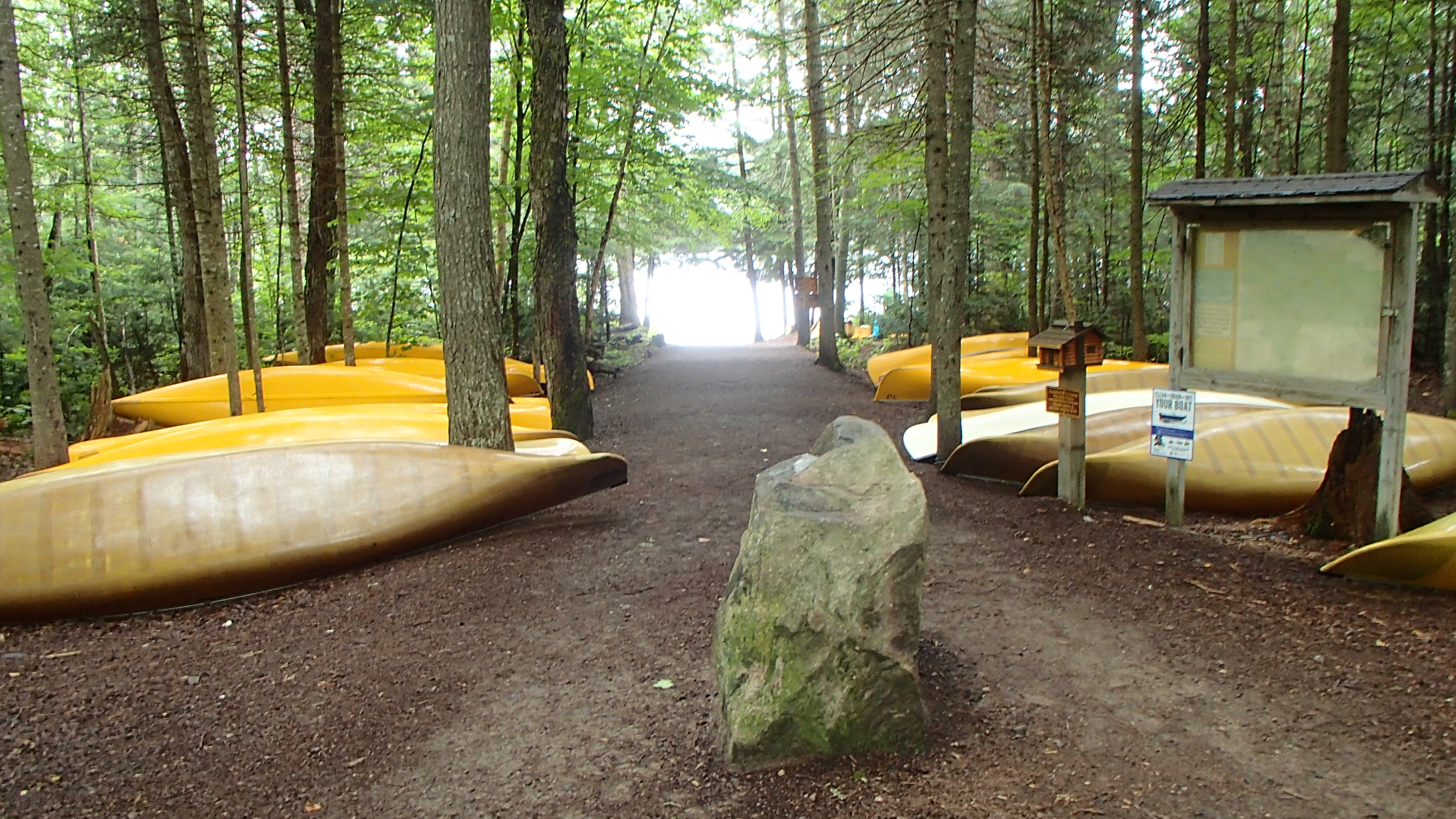
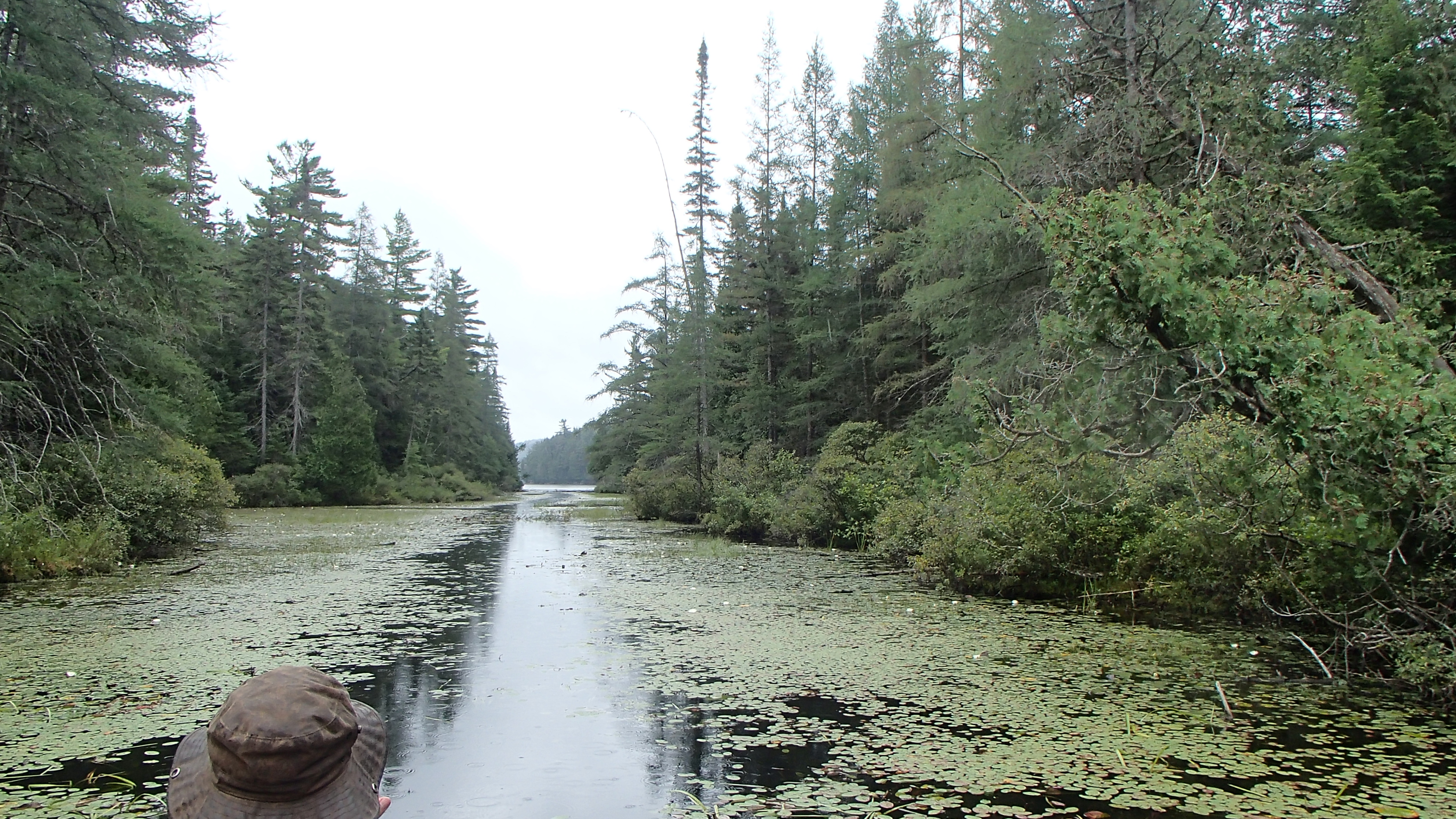
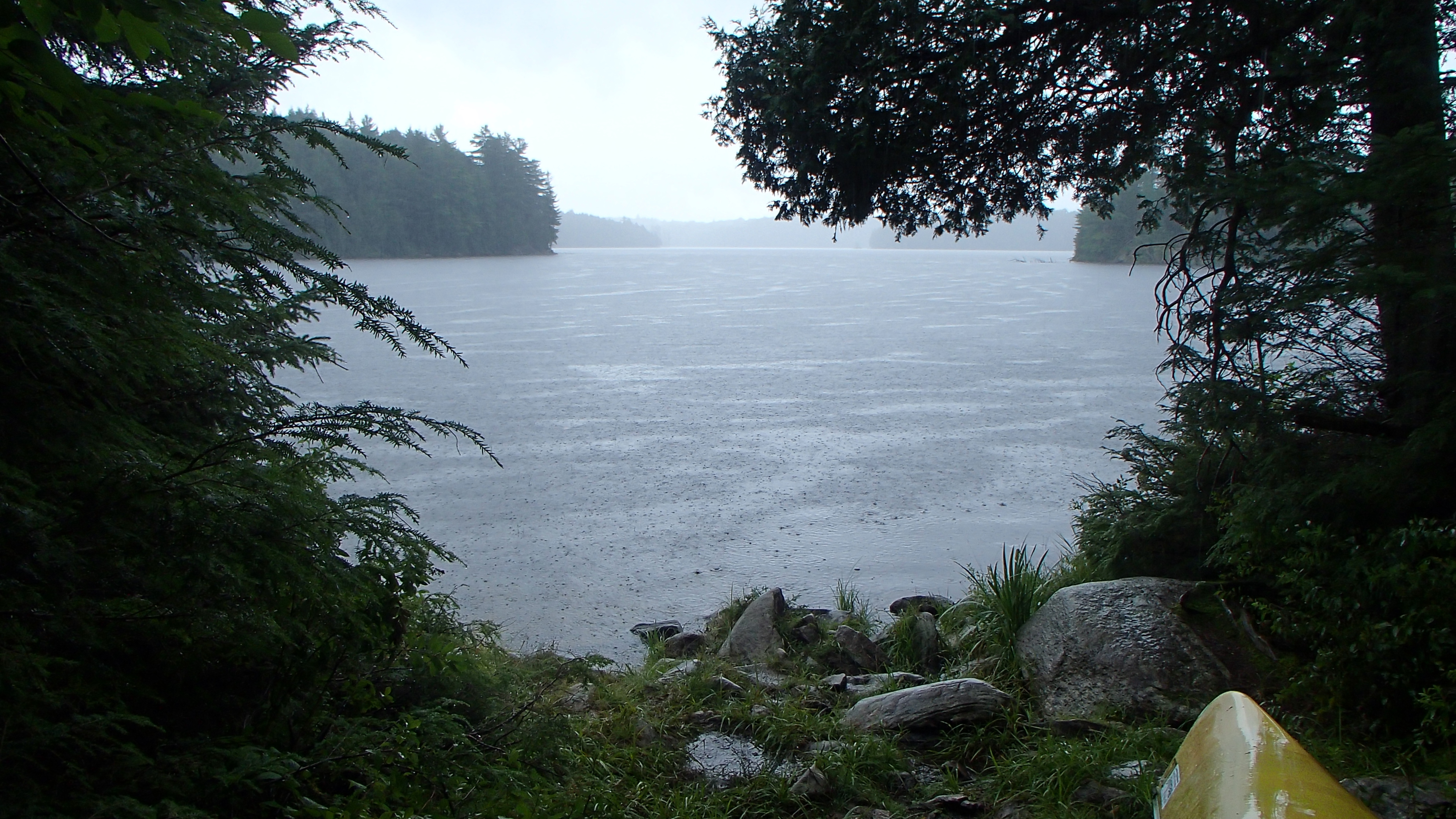
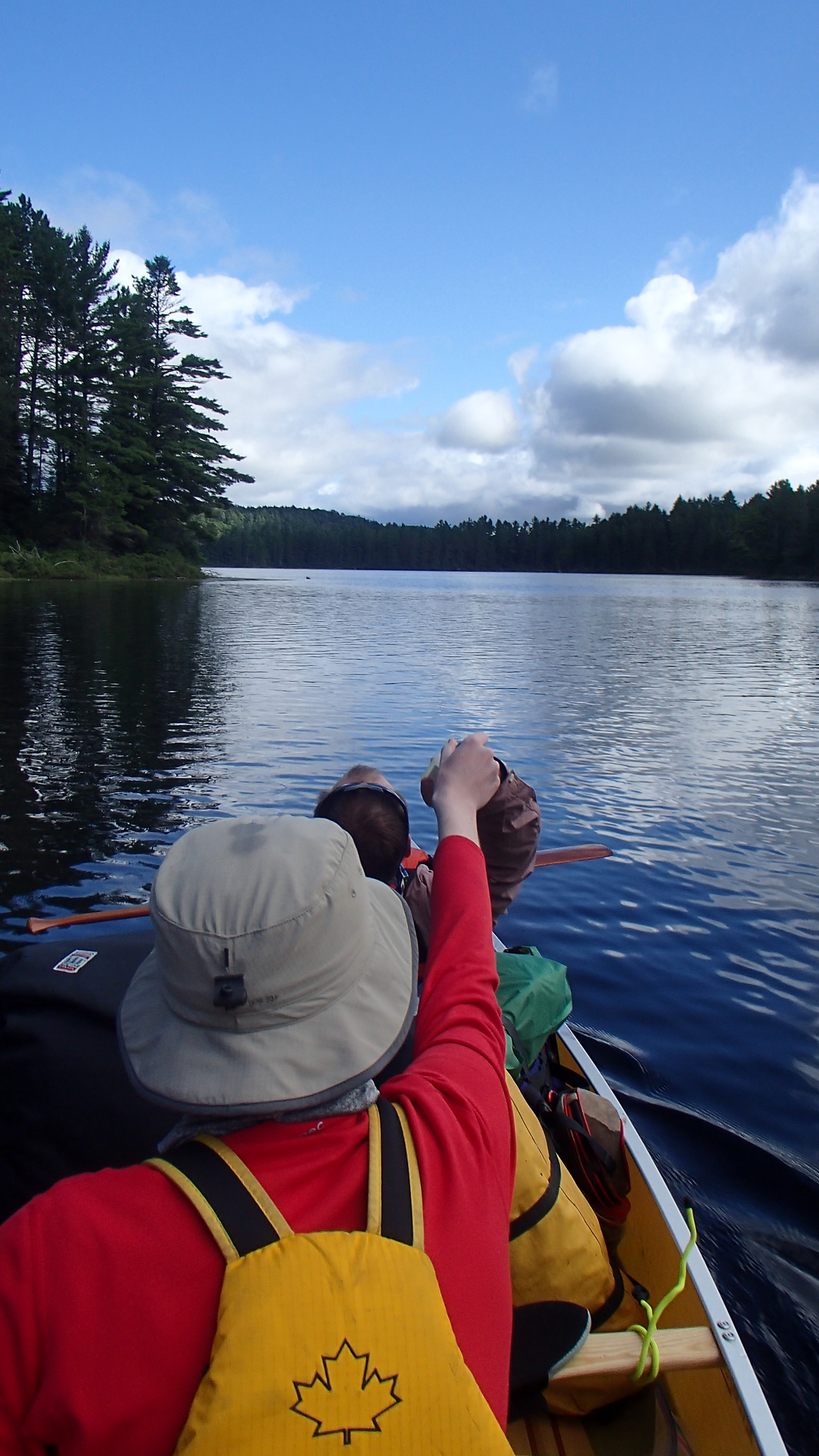
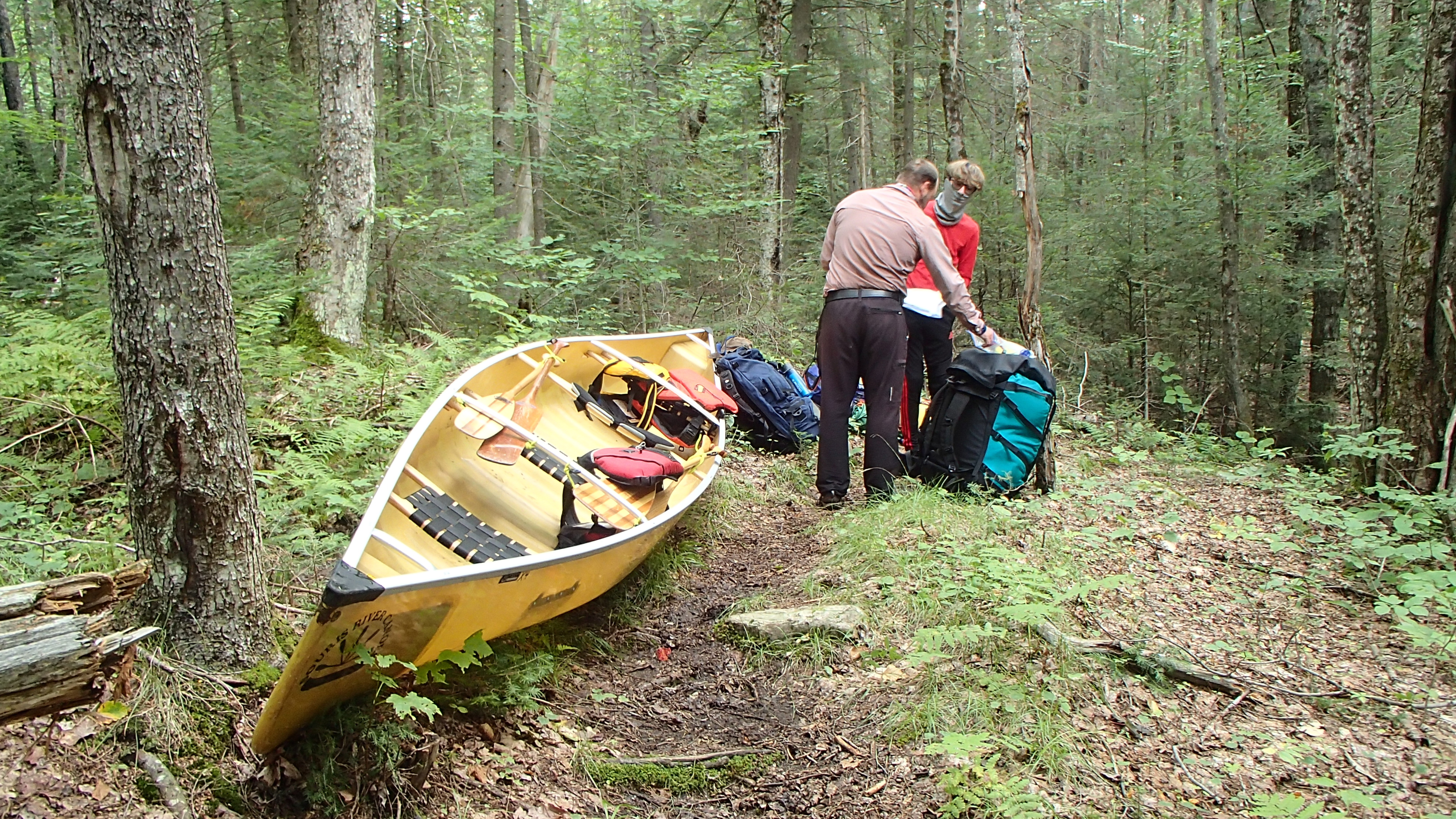
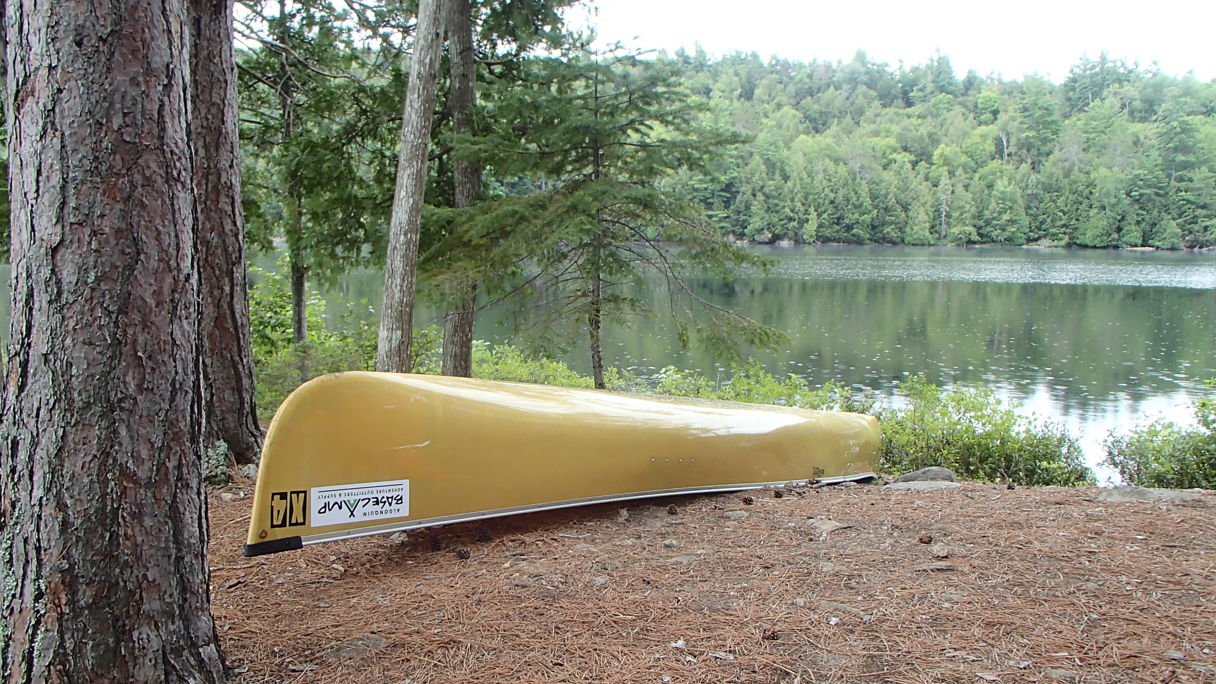
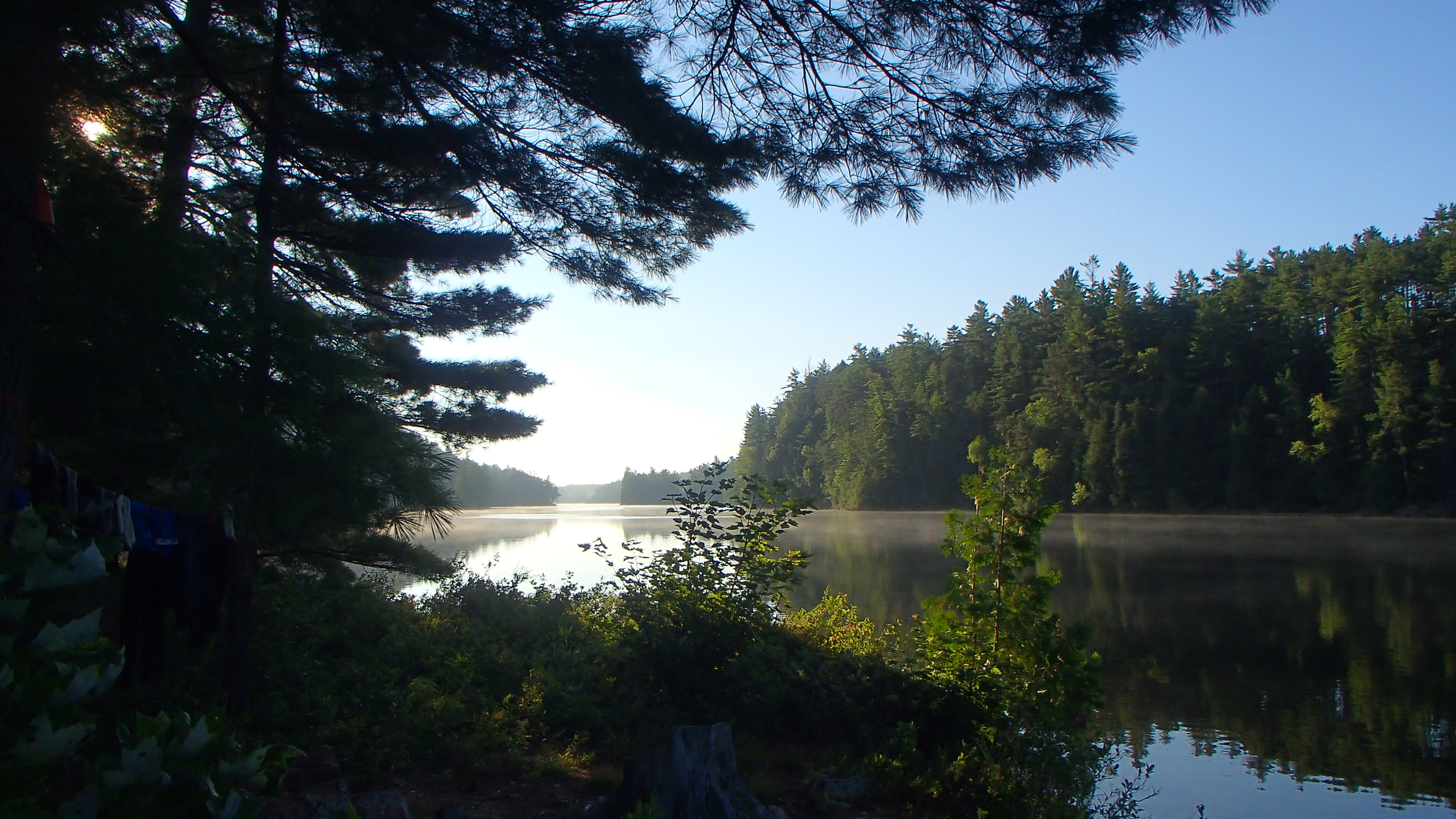
Light rain was falling on the Magnetawan access point while we located and unlocked our rented Quetico 18.5 and made final preparations. My parents joined us at the start to save the logistics of retrieving a car on our way home and the extra parking fees. As we left the dock Dad told us "rain before seven, quits by eleven". I could tell he desperately wanted to jump into the canoe with us.
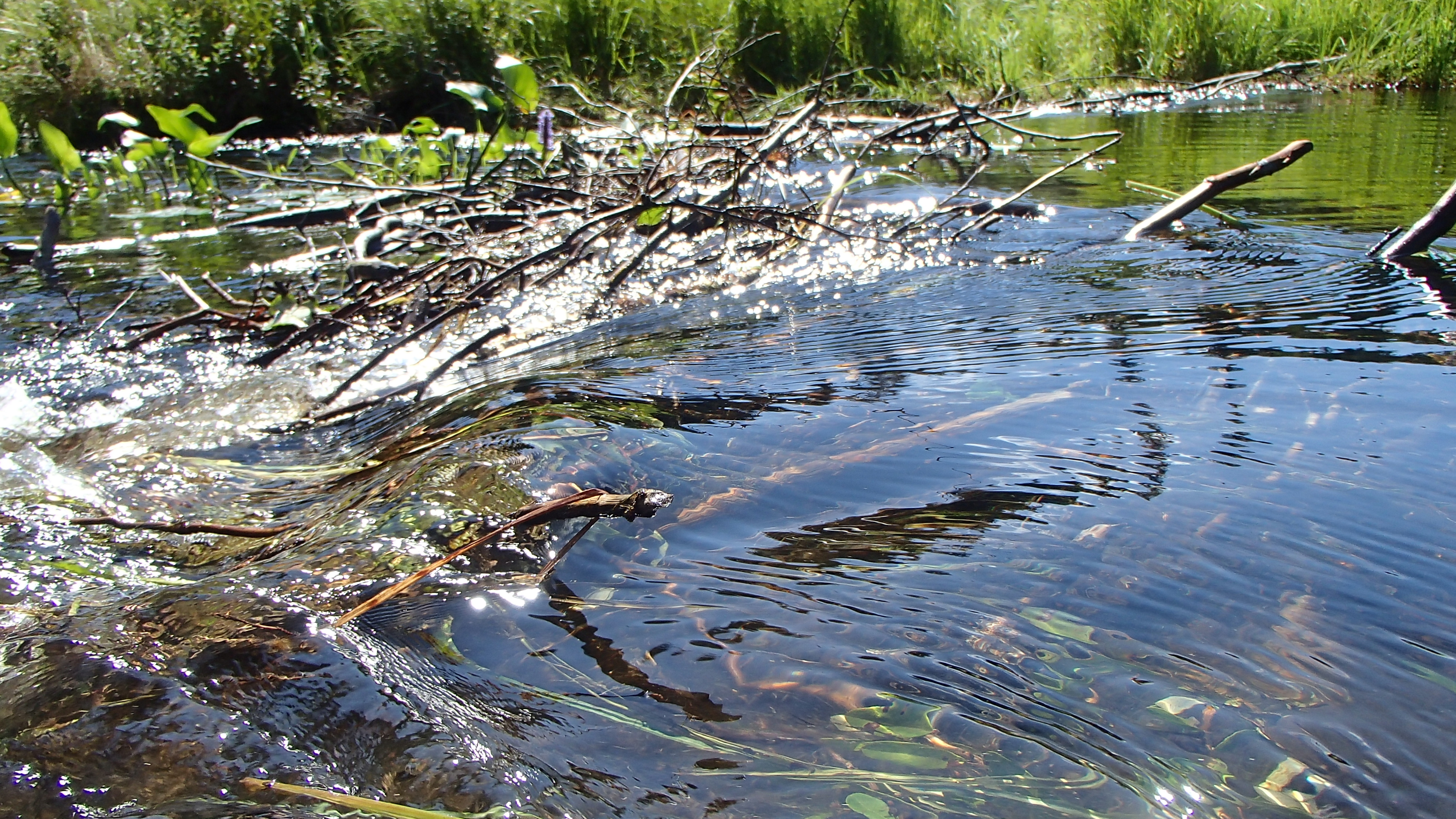
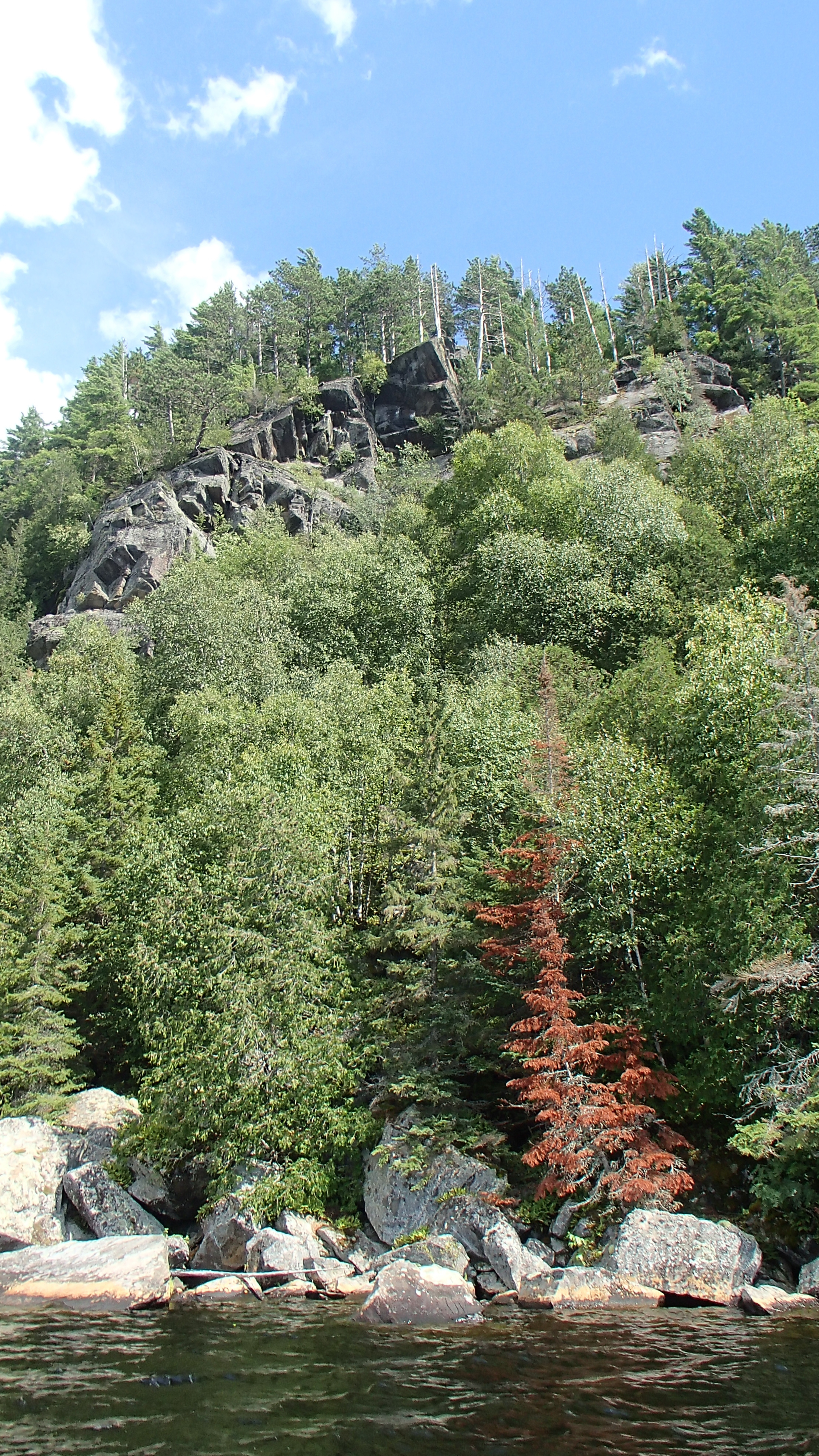
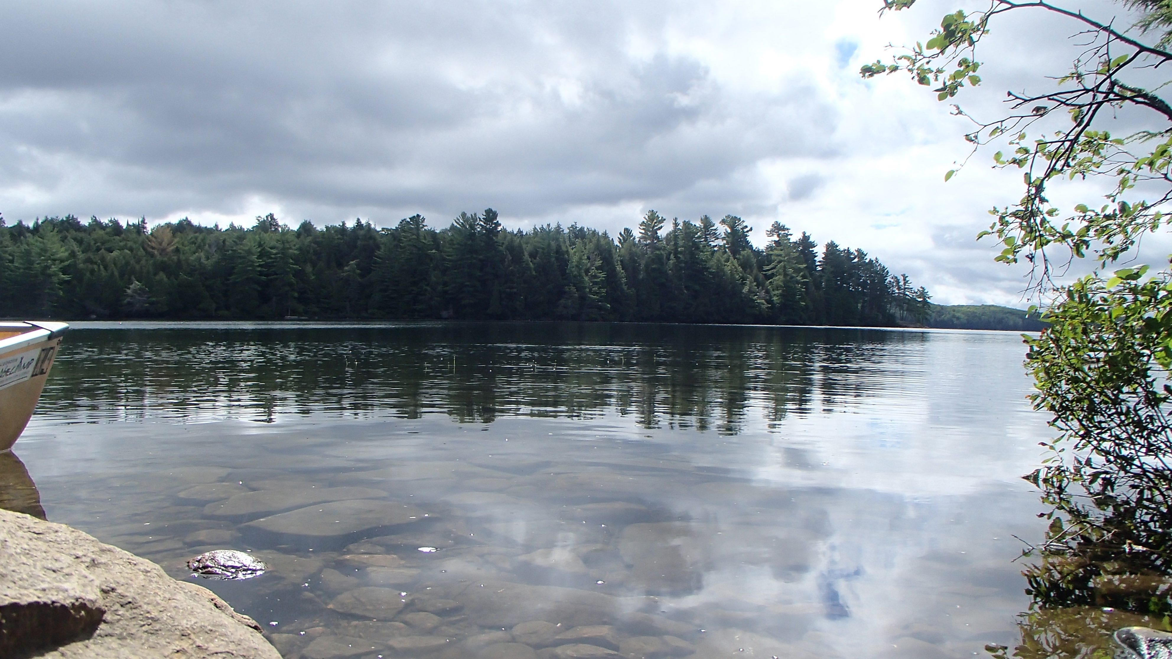
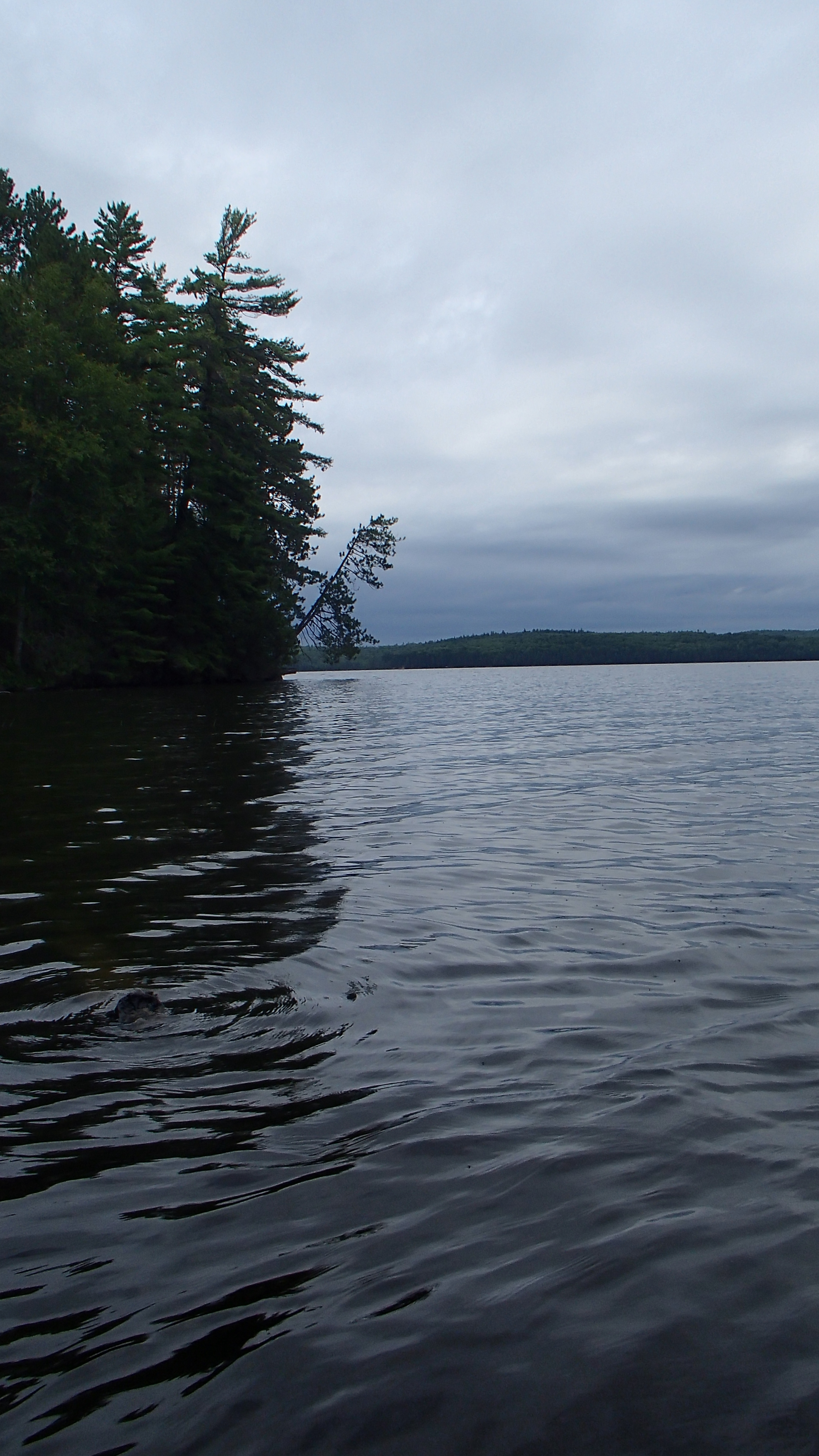
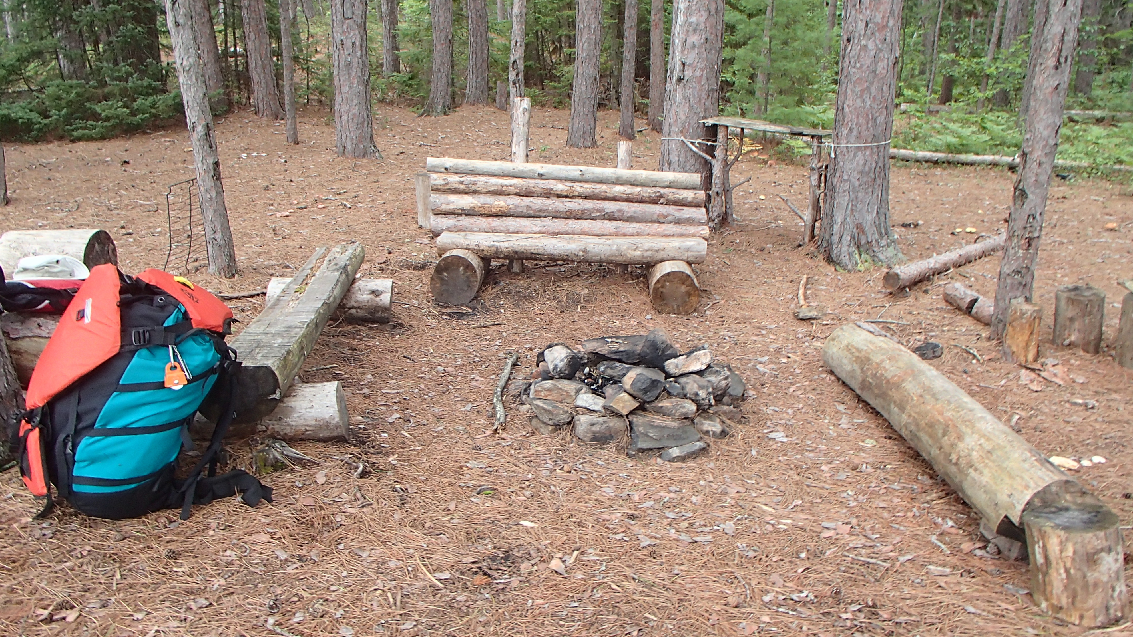
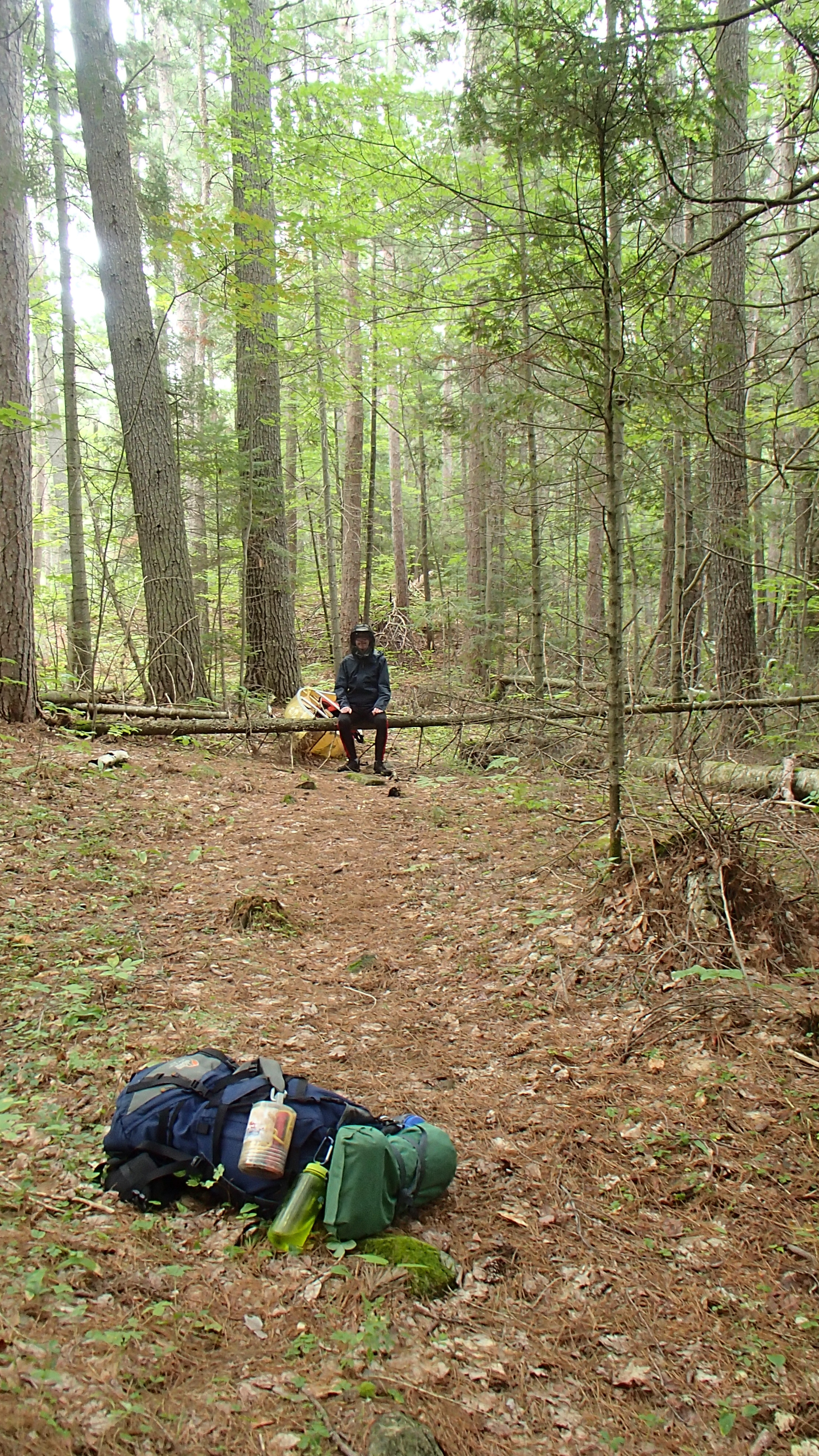
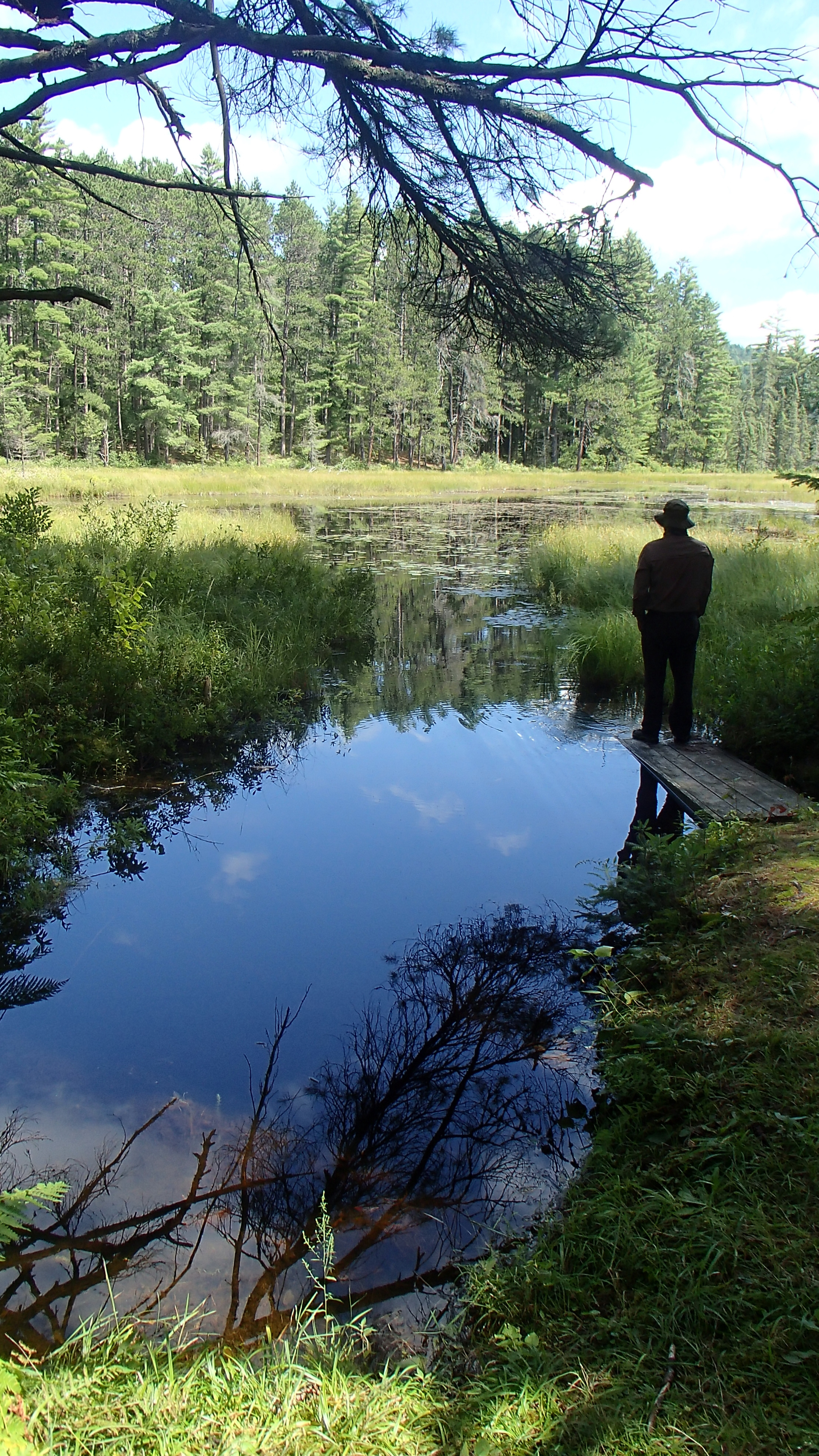
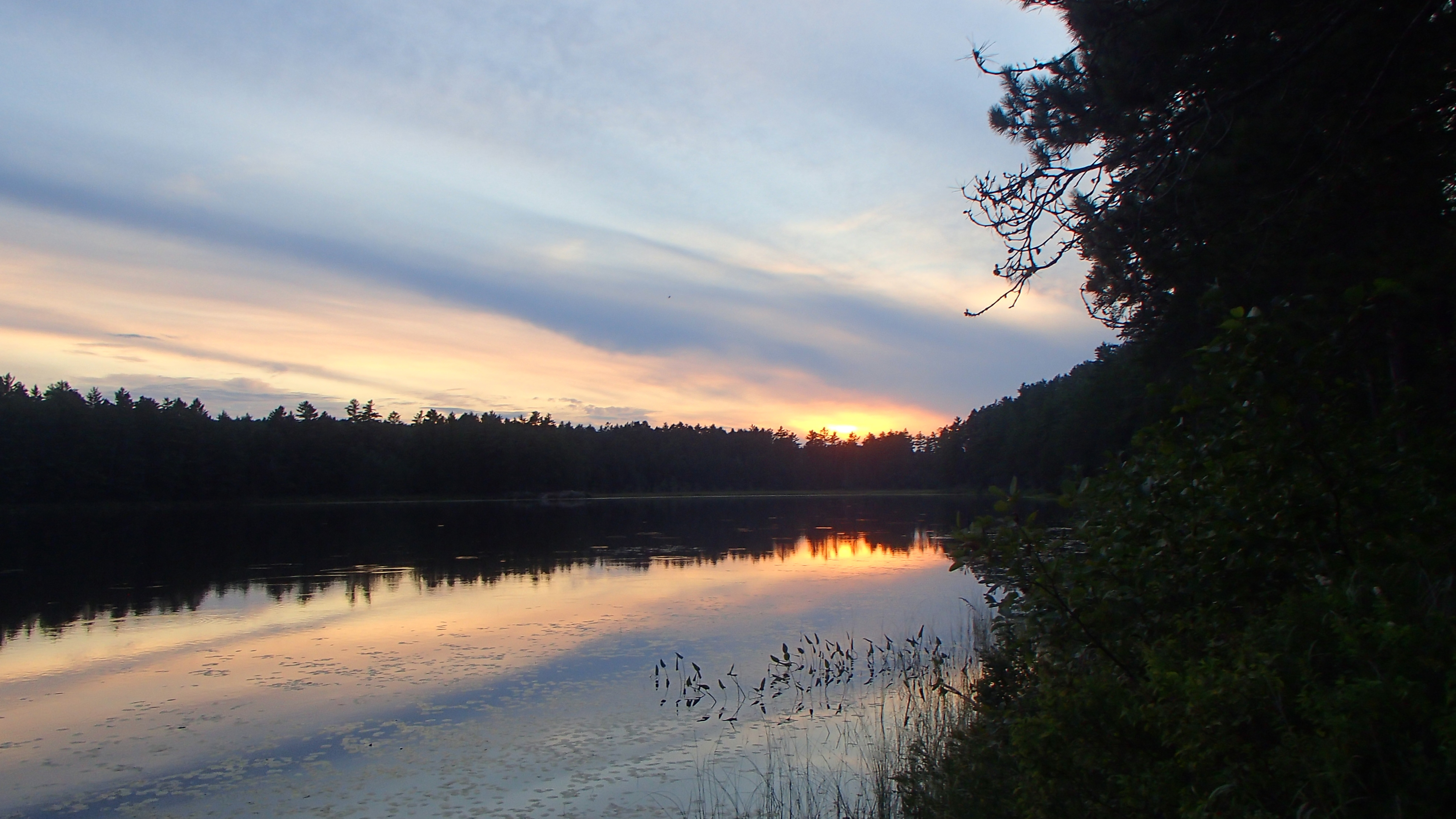
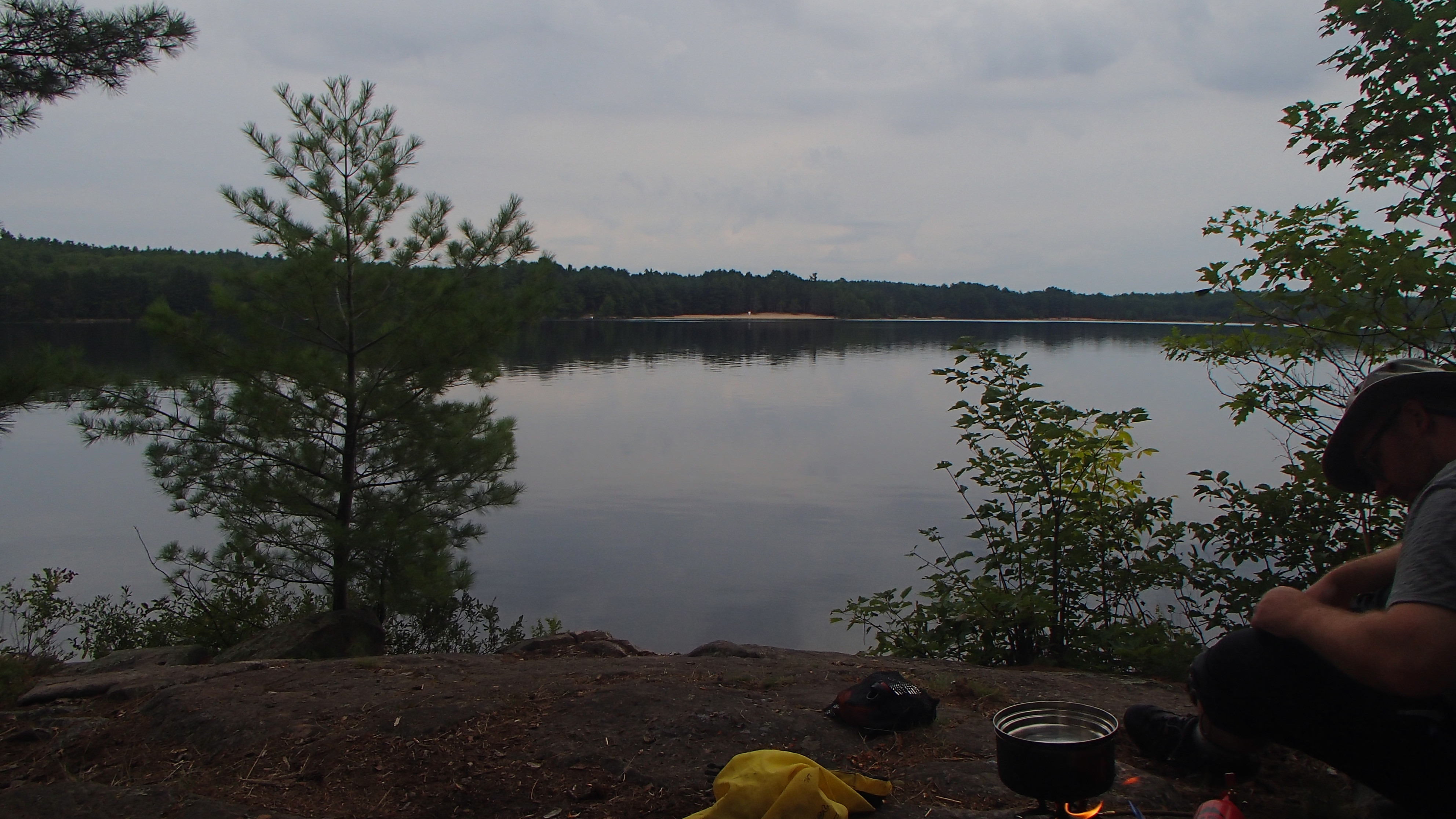
Light showers continued on and off (it did stop around 11 for about an hour), though not enough to dampen our spirits or our clothes. The park felt busier than usual from Hambone through Misty, but not so much that anyone appeared to be getting in anyone else's way. Thunder rumbled with the Timberwolf portage near, prompting a bee-line to the landing. We narrowly escaped having to shelter on Misty as the thunderstorm passed over, instead spending that time at the end of the portage under our tarp. With thunder clear (but not the rain!) we made a mad dash for the eastern-most island campsite. An MNR rowboat was resting in the middle of the campsite briefly fooling us into thinking the site was occupied.
A swim-in-the-rain was taken, and then into some dry cloths along with some dinner: lentil curry on mashed potatoes. We discovered our gravity filter was not working well at all during meal preparations. Next we realized we had dropped one of our two "Lifestraw" bottles somewhere along our path that day. We were upset at ourselves for becoming the people that leave things laying around. Hopefully someone picked it up! It was also the filter that fit the squeeze bottle used to filter water for cooking when the gravity filter needed a backwash.
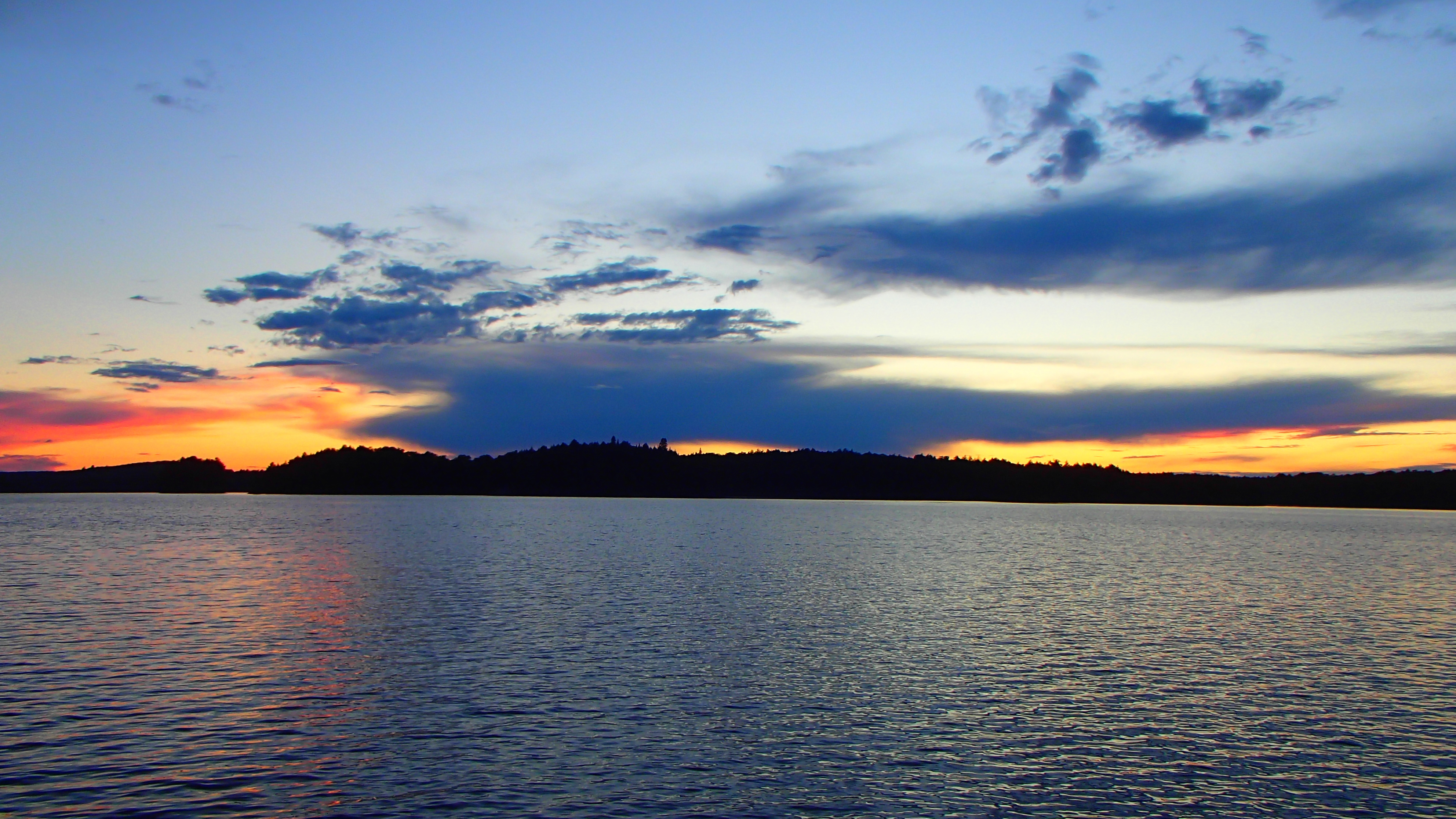
The weather cleared in the evening, allowing us to catch a nice sun set off a point on the island. We had some trouble getting our food hung properly: the first branch wasn't strong enough, and the second attempt was a wrap-around we could not untangle, forcing us to leave some of the rope in a tree. Another trace left behind, ugh.
Day 2 (Monday): Paddling Through a Favourite
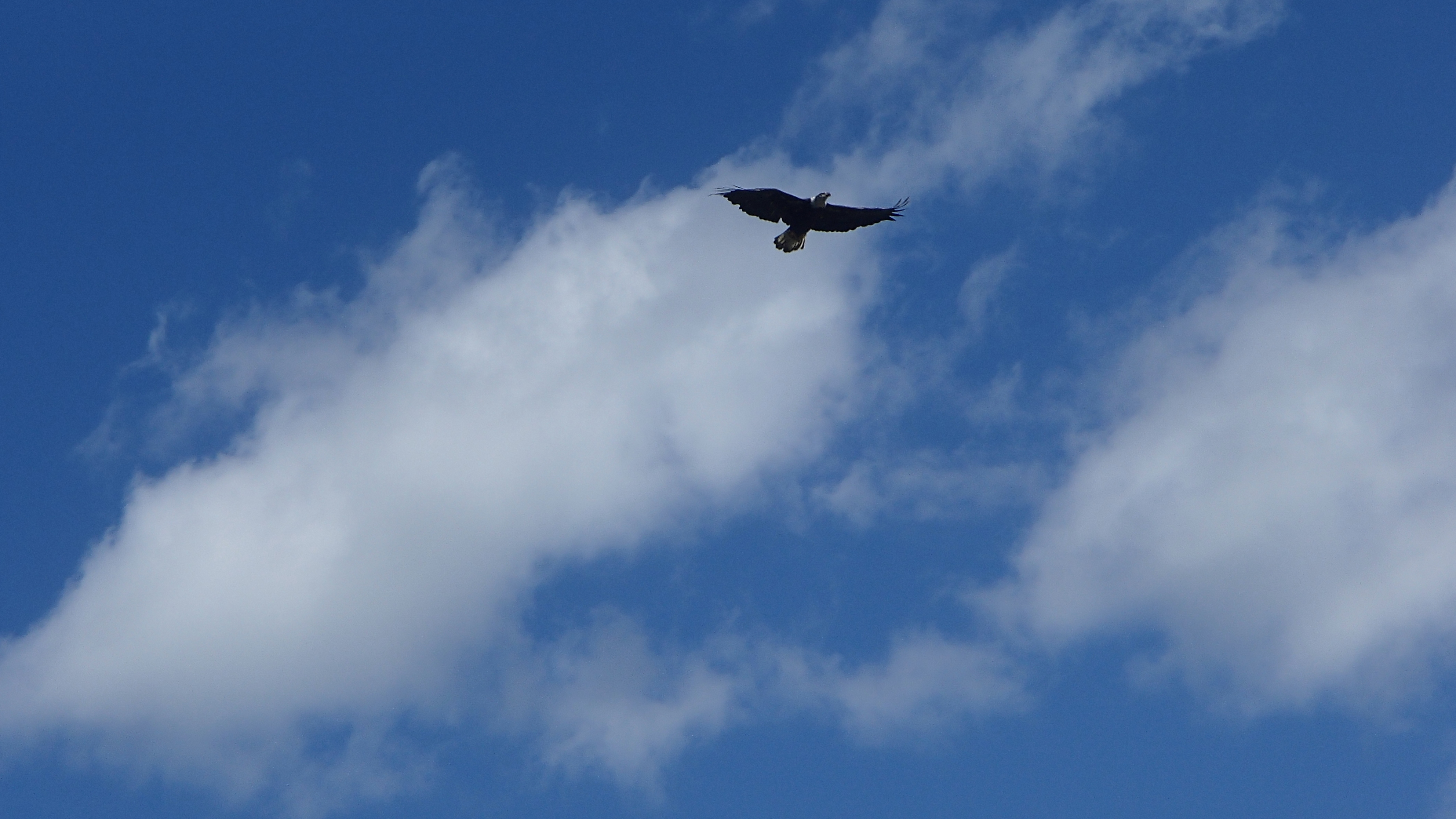
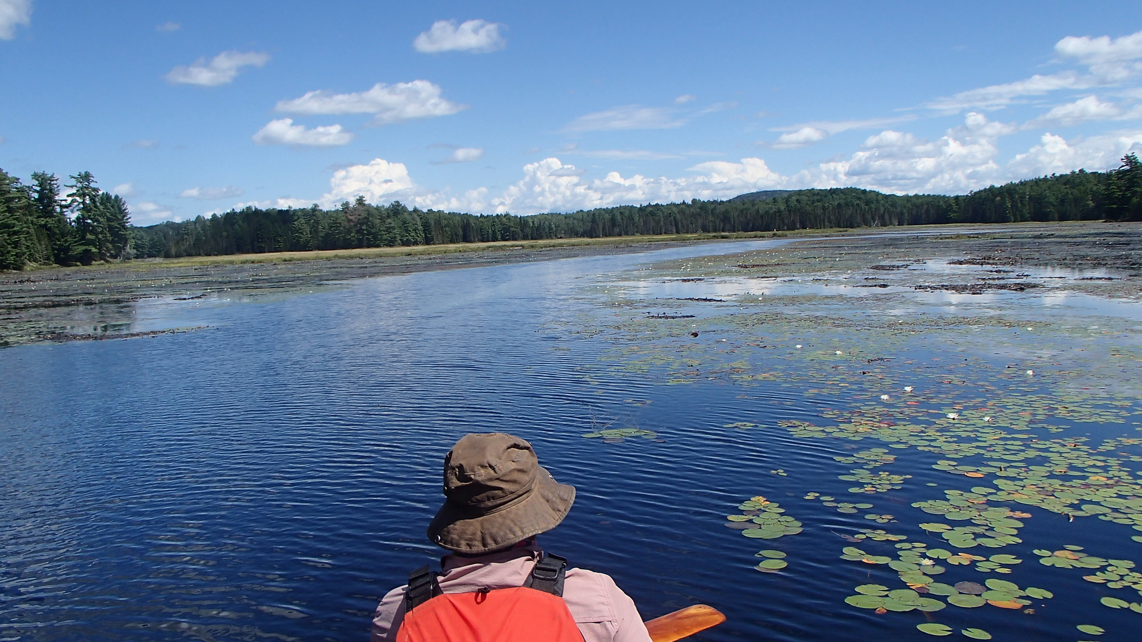
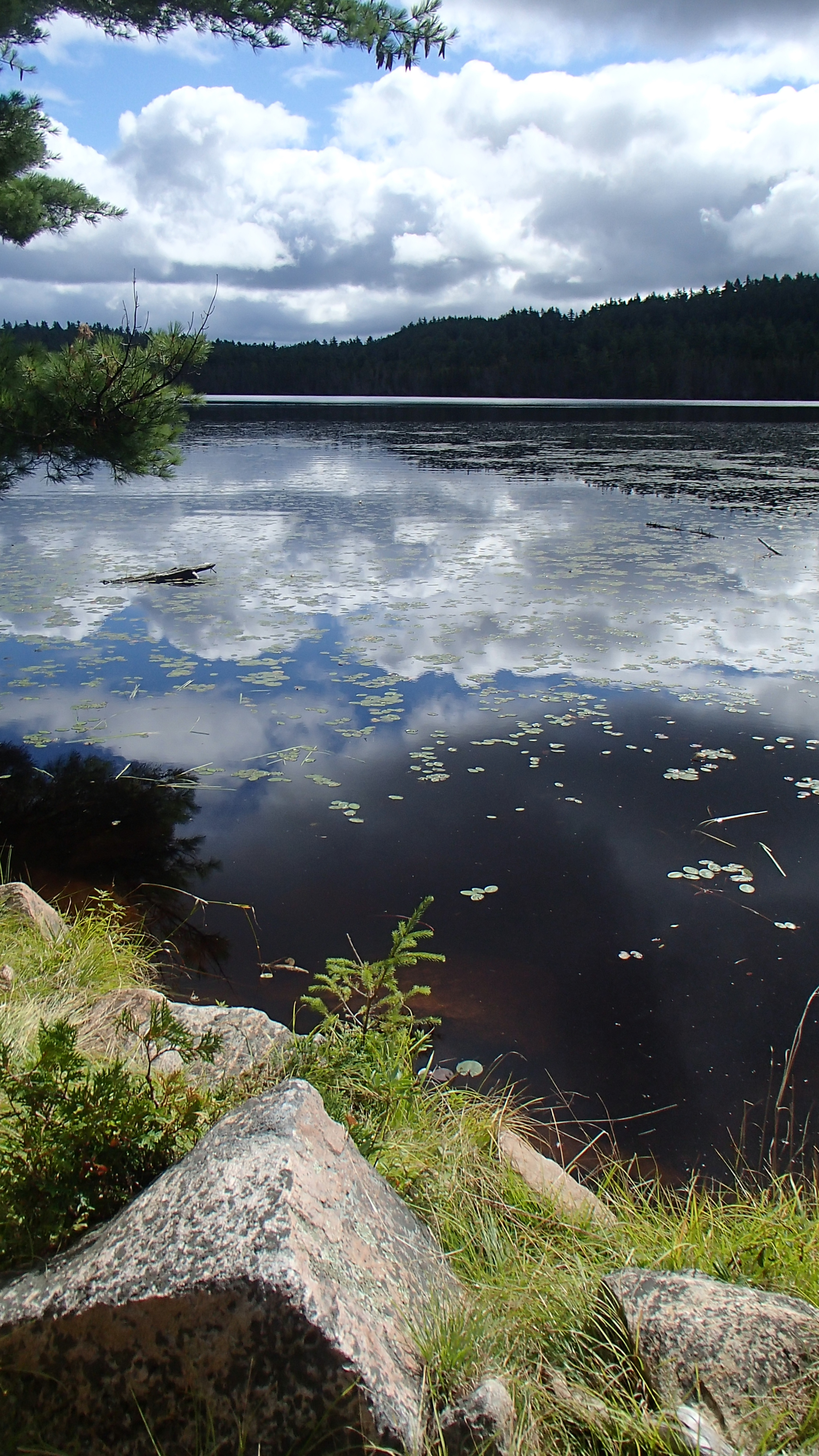
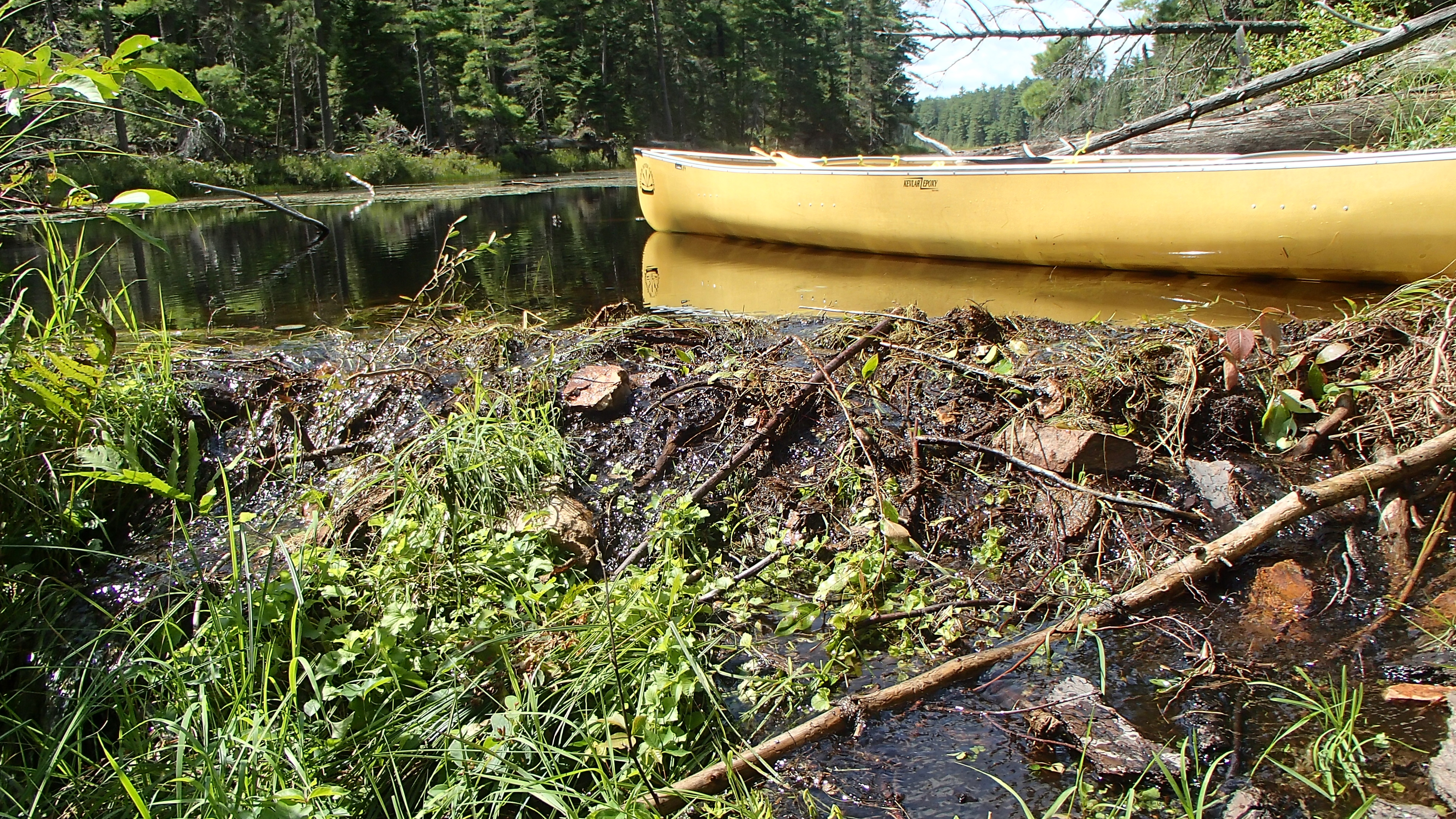
A pack of wolves called in the distance to wake us, which was a real treat! It was a warm morning, so we pulled on our wet clothes from the day before. We packed the tent up soggy, and pushed everything back into our packs. The sun was out along with a light breeze which dried our wet clothes quickly as we meandered to the portage out of McIntosh Lake. The 745m portage into McIntosh Marsh delivered another scenic carry, though the log bridges were extra slippery from the previous day's rain. Paddling McIntosh Marsh has become a favourite, and we once again took our time to let the area soak in. An eagle (HUGE!) swooped to take a fish out of the marsh not far in front of us! As we settled into the day the wind picked up and helpfully pushed us in the direction we needed to go!
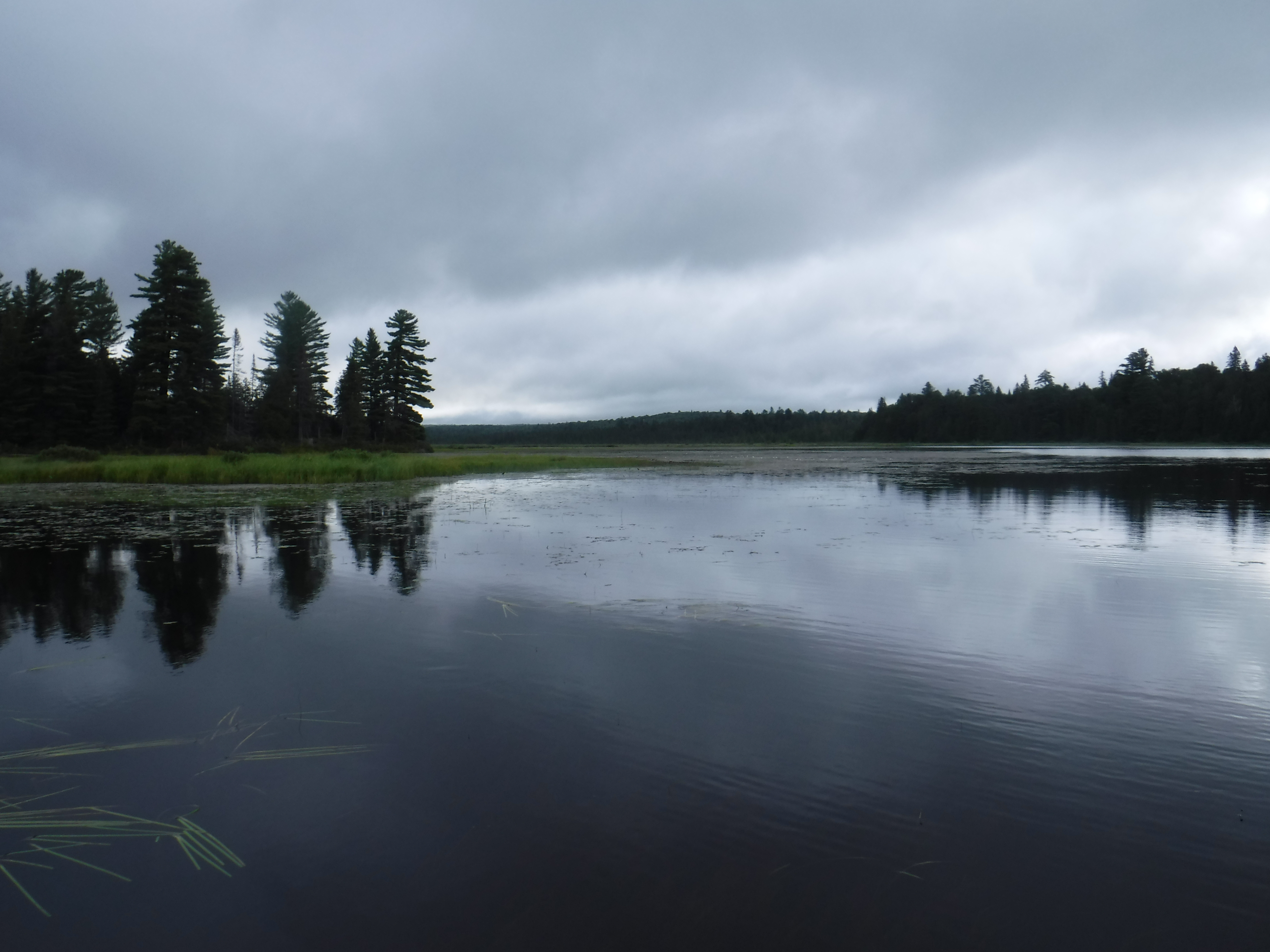
We stepped out of the canoe a couple of times at unoccupied campsites along the way to stretch our legs and relax. Once on Big Trout we bounced around campsites being choosy until thunder forced us to hold up on a less than ideal site we had stopped to investigate. In the end the storms mostly moved around us, but we had settled in enough that it made sense to stay put. At one point we could see it raining heavily on the "other side" of the lake while we had only occasional light showers over ours. After dinner and more threatening storms the weather cleared enough to allow us some star-gazing off the site's rocky point. It was a new moon at the height of the Perseid meteor shower: spectacular!
Day 3 (Tuesday): Big Trout to East Opeongo
We pushed off just before ten after a slow morning, not ideal on a day with more distance than we typically like to cover. Once on our way we carefully paddled through the marsh to get us to the Merchant Lake portage. We found it more difficult to thread the 18+ foot canoe through the small stream to the 1840m portage than previous time we moved through the area. The 1840m portage still feels longer than advertised, however we finished it feeling strong.
The wind had shifted to be blowing from the north giving us another tail wind that helped us down Merchant's Lake.
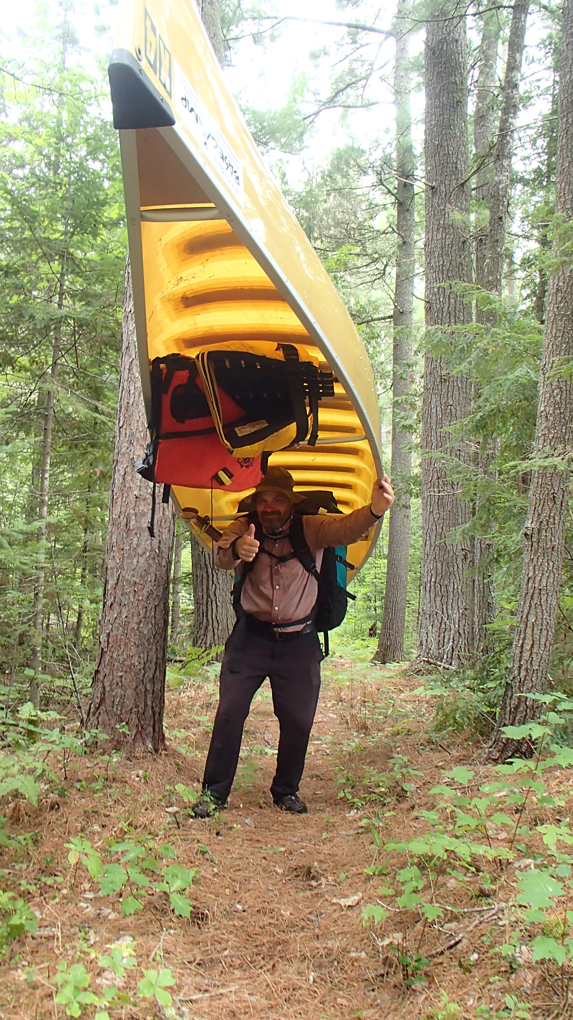
Lunch was prepared up the beach at the Happy Isle end of the Opeongo-Happy Isle portage (rehydrated chili on KD). The portage into Opeongo was flat and well worn. The only challenge was my struggle to get the canoe balanced properly. My new canoe pack and the canoe's yoke didn't seem to want to co-operate with my shoulders. Joshua and I never did find the right balance throughout the trip, something to be pondered in the "offseason".
The north wind was stronger on Opeongo. It allowed us fast progress at the cost of lightly frayed nerves. Large rolling waves made the paddle uncomfortable. Getting the boat to surf down some of the waves always feels like an accomplishment though! We used the "Bob's Bay" portage to reach Opeongo's East Arm, giving us an opportunity to stretch our legs.
Once on the East Arm half way to the large island sun showers fell that caused rainbow effects all over the surface of the lake. Despite our best efforts we could not capture the effect with our cameras, so we floated in the middle of the bay for a while to enjoy the show. We found one site available on the east side of Opeongo Island. Everything else we had crossed paths with had been occupied so we decided to stay for the night. Someone had recently used the site to clean some fish leaving considerable waste behind. We cleaned the smelly mess as best we could. Payback, no doubt, for the abandoned water bottle and rope left in the tree on Timberwolf.
With swim, setup, and dinner complete we sat and relaxed on the pebble beach, made some notes, recounted stories of trips past, made plans for 'tomorrow', and quietly watched the rest of the day go by until sunset. At dusk it began to rain again, so we headed for the tent.
Day 4 (Wednesday): East Opeongo to Little Dickson
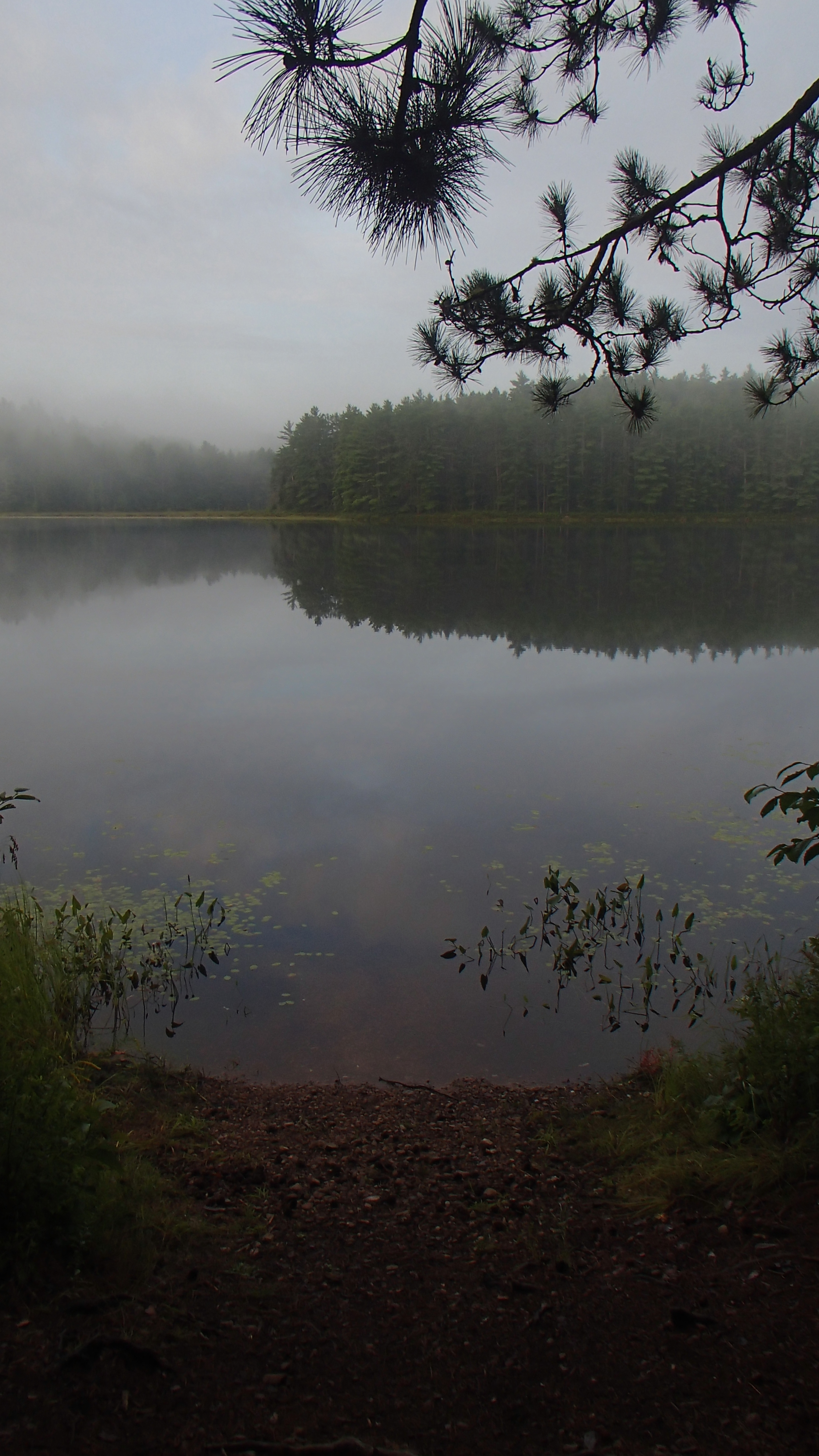
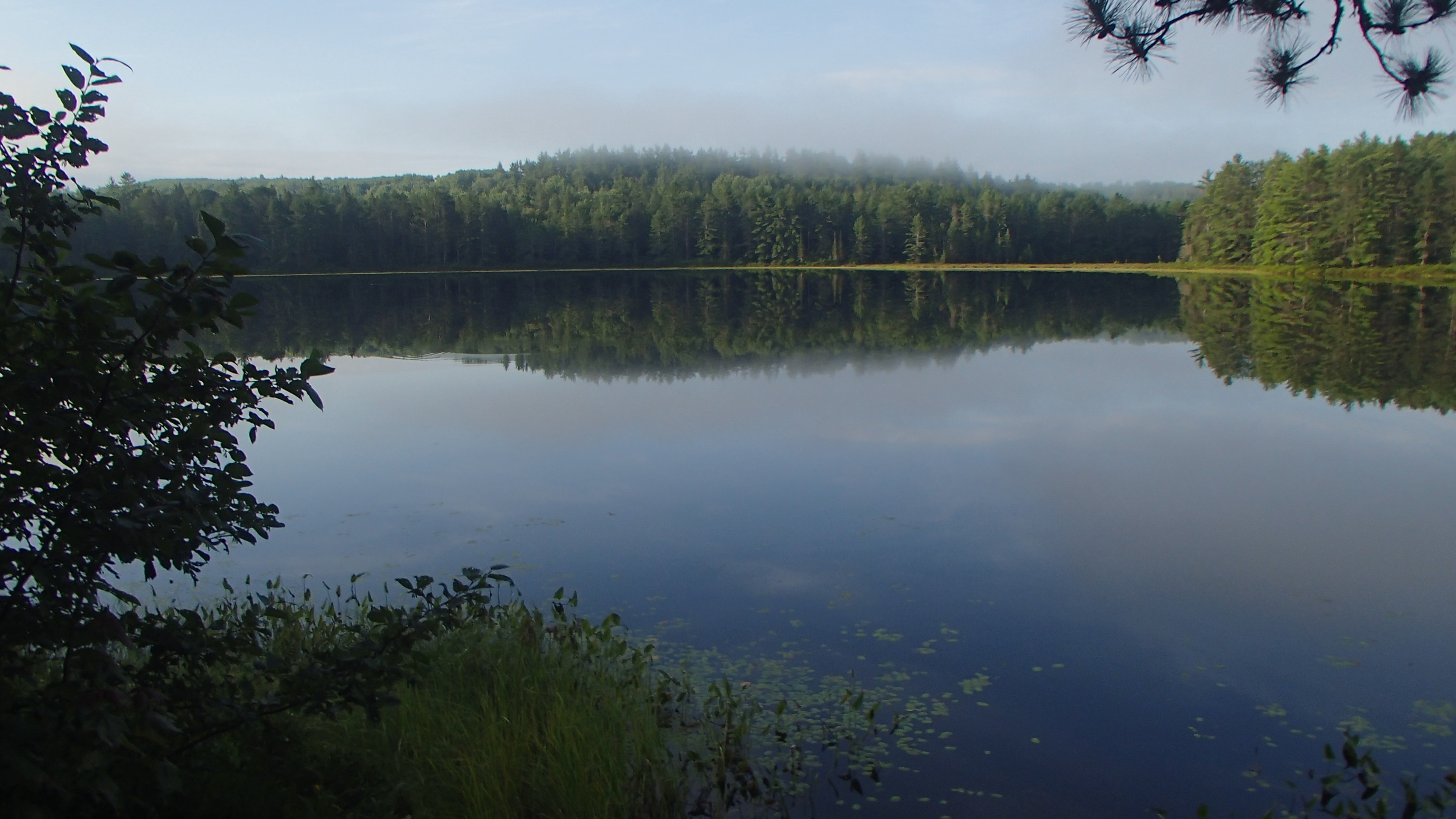
We all slept well. The site we were on was a dirty nondescript level clearing that we normally would not have looked at twice. In a way it helped by encouraging us to get an early start. All was quiet and calm as we paddled through the morning mist west to the portage into Wright Lake. Every site save one that we passed was occupied which made us glad we took the site we did the night before. Wright and Bonfield lakes were new to us so we moved a little slower trying to get a feel for the lakes without making a stop.
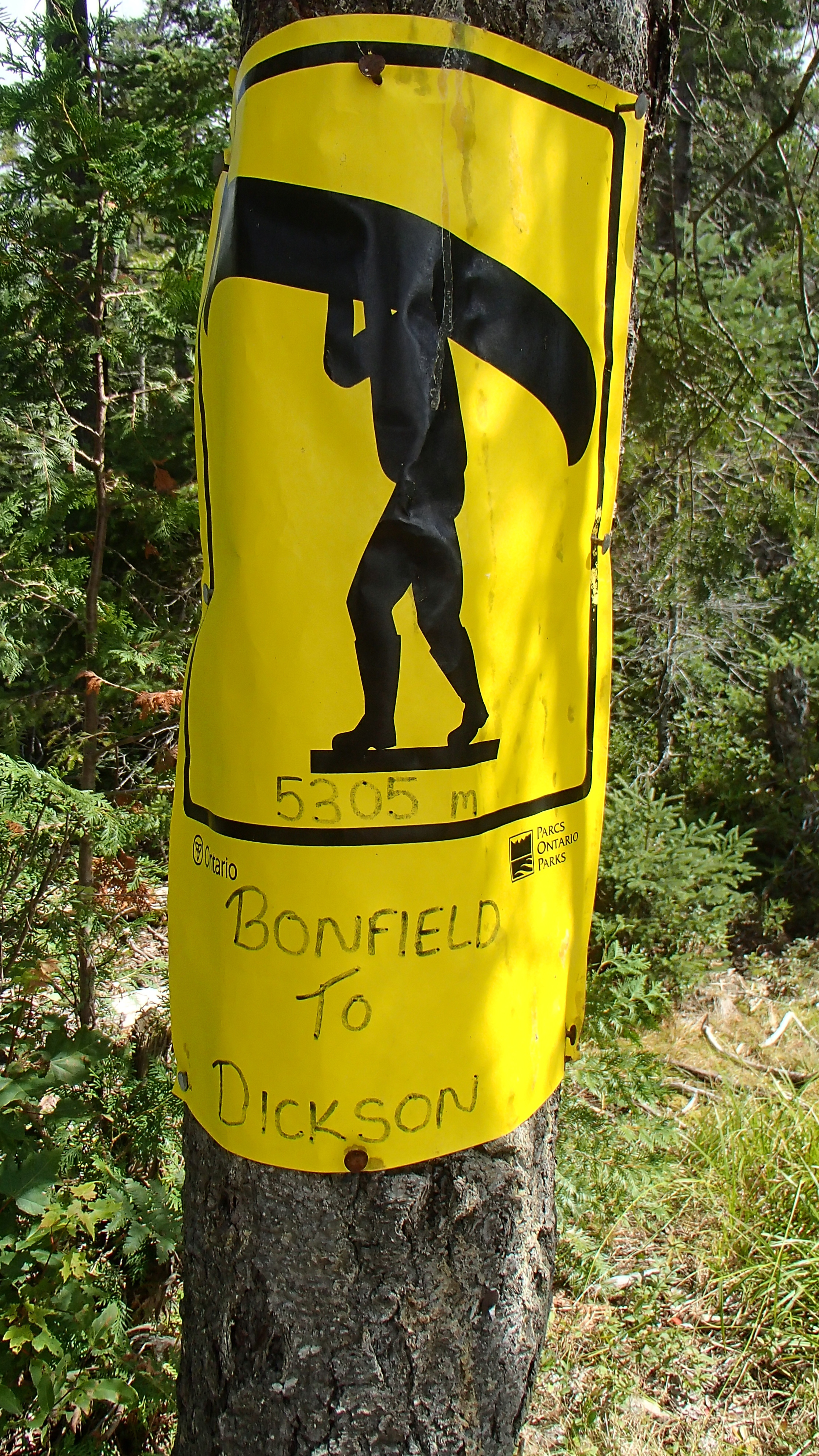
We pulled up at the famed Dickson-Bonfield portage mid-morning. We ate some snacks, drank lots of water, tightened our packs, and began to make our way. The trail is straightforward as advertised. Regardless, I ran out of gas about 500 meters before the end of the portage having to dip into the reserve tank to finish. We rested a while, looked out over Dickson Lake, at lunch, skipped a few stones, and loaded the canoe to paddle through Cisco bay and the 890m portage to Little Dickson. The water on Dickson looked a bit "soupier" compared to the last time we paddled through. The "mountain" we had to climb to make our way to Round Island a couple of years previous looked higher too! It would be nice to be able to stay on Dickson Lake one day...
I found the portage to Little Dickson more difficult than it probably is. I lost my legs somewhere between Bonfield and Dickson lake, and there were a few turns in the trail I could not make with the 18.5' canoe that required some extra effort.
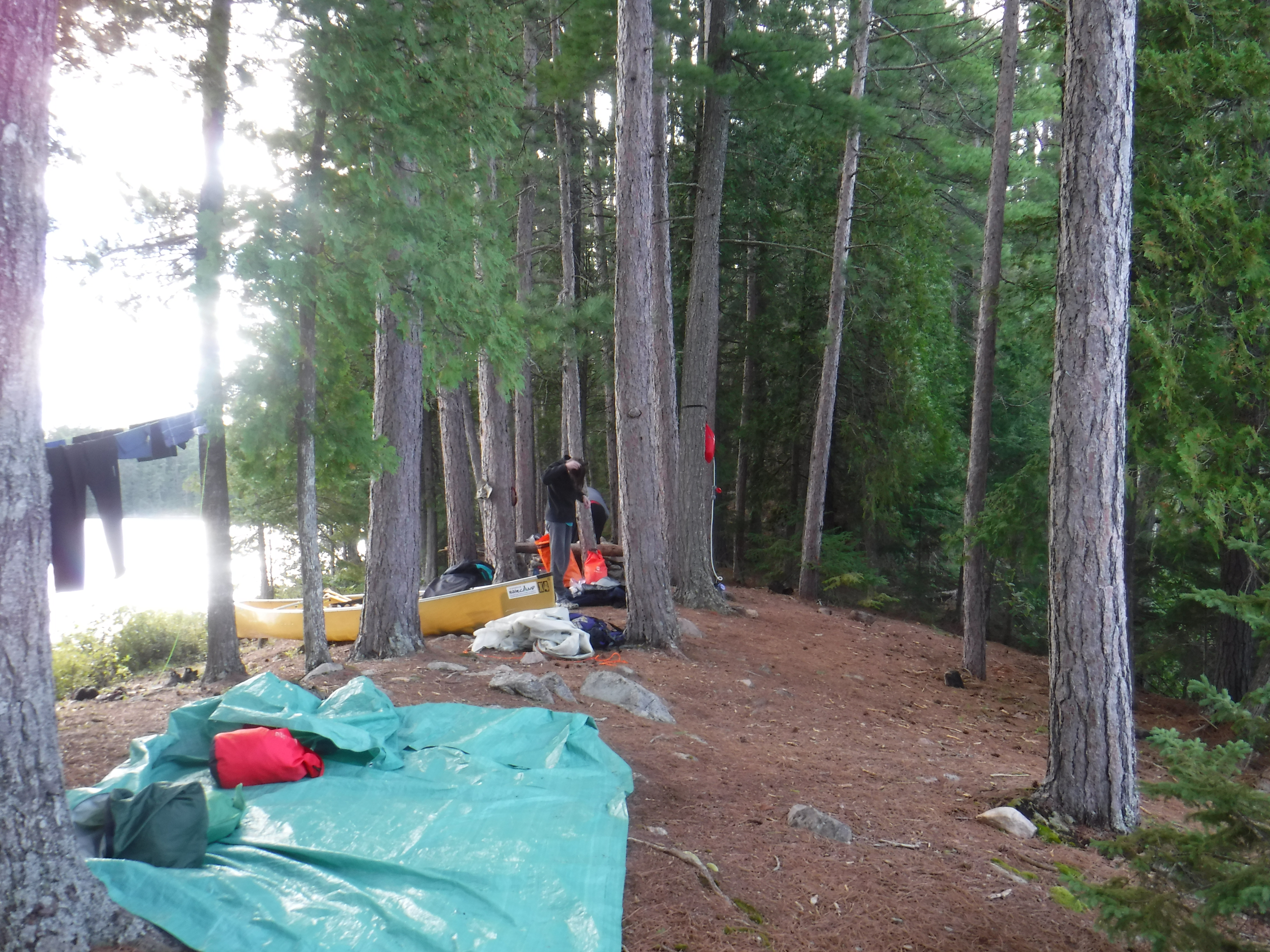
We took the first campsite on the point. The site is nice and open with lots of exposure to the sun and breeze, and we needed a good dry-out. Extensive clothes lines were set, wet clothes were hung, wet tent set up, and we went for a a good long swim. It is not the most swimmable site as the water is shallow and silt covered for a long way out, but floating weightless in the water still helped my legs forget some of the day. Dinner was cooked over a twig fire to preserve fuel. Firewood was suddenly very easy to find compared to the past few nights. It was obvious this site saw far less traffic than any we had stayed on so far, with enough deadfall laying on the site to fuel a fire for days.
Day 5 (Thursday): Little Dickson to North Branch
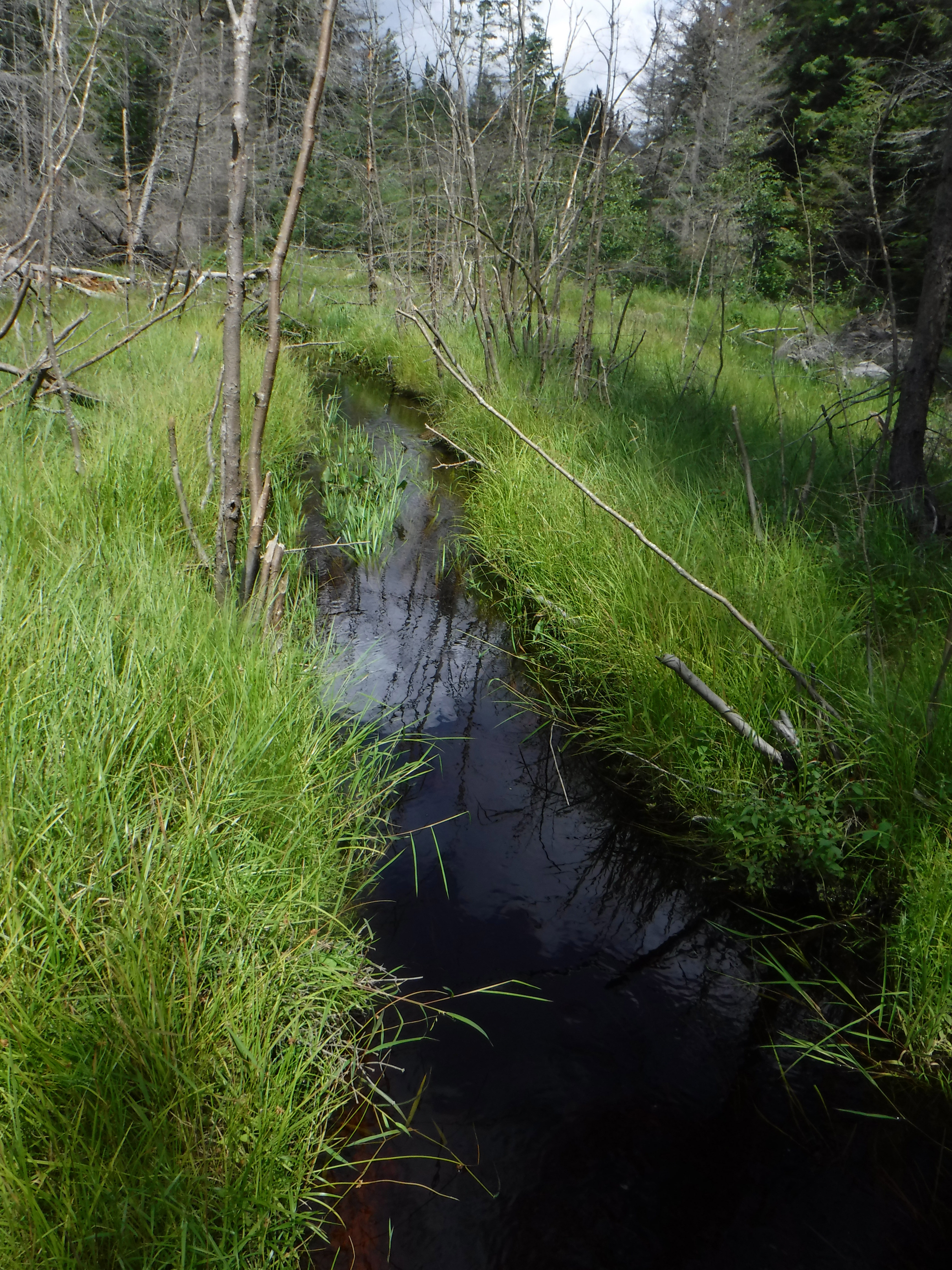
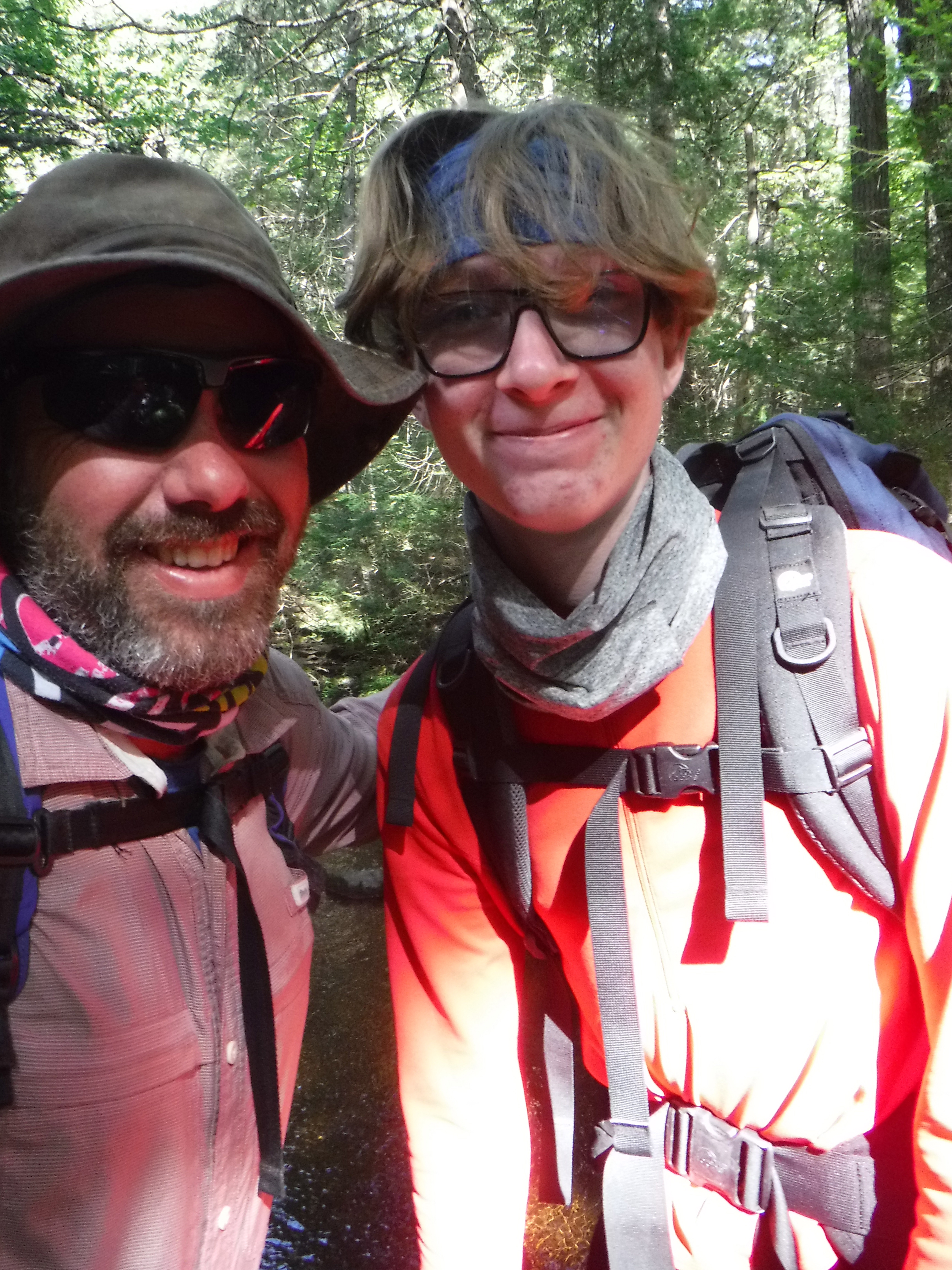
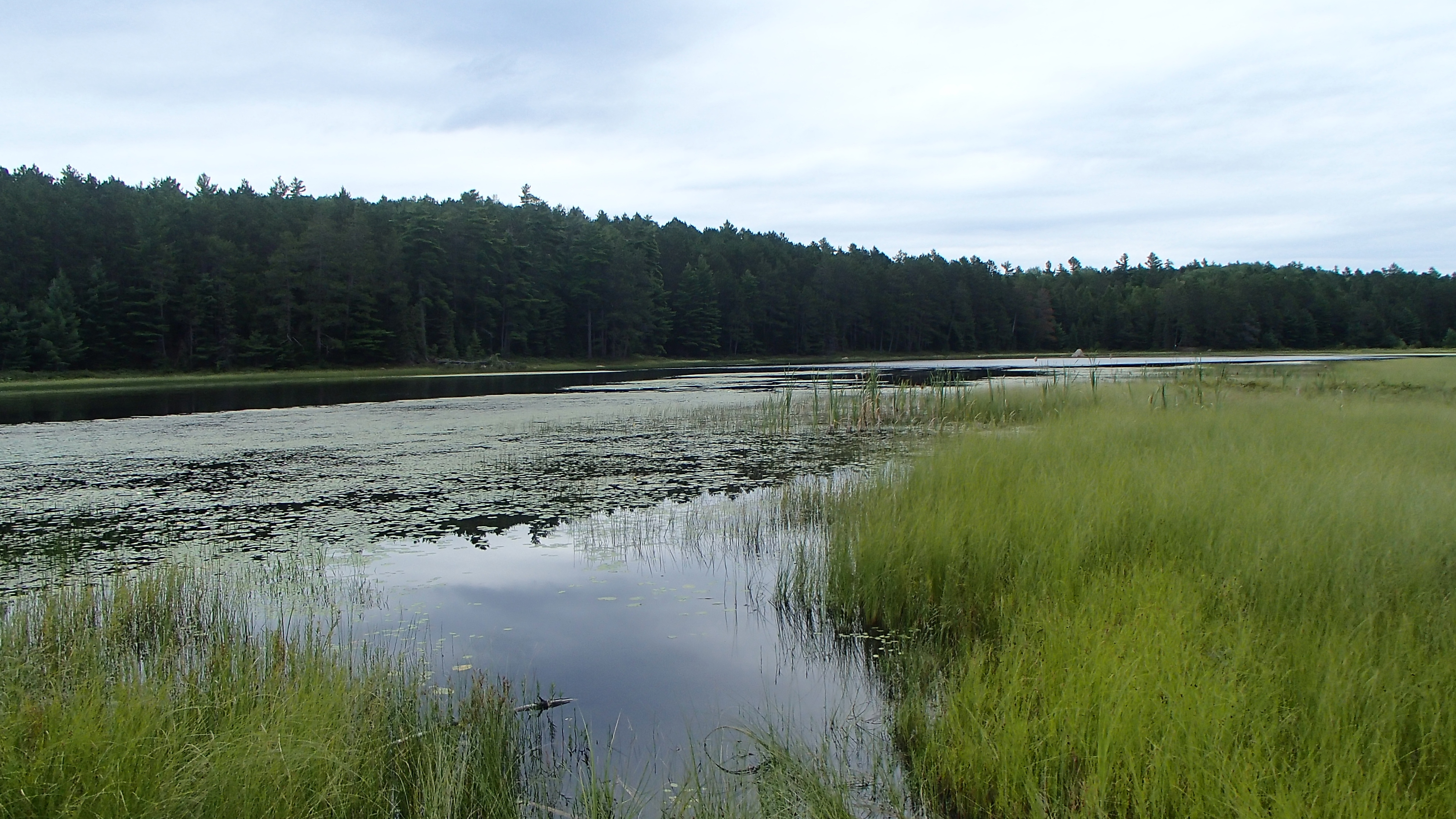
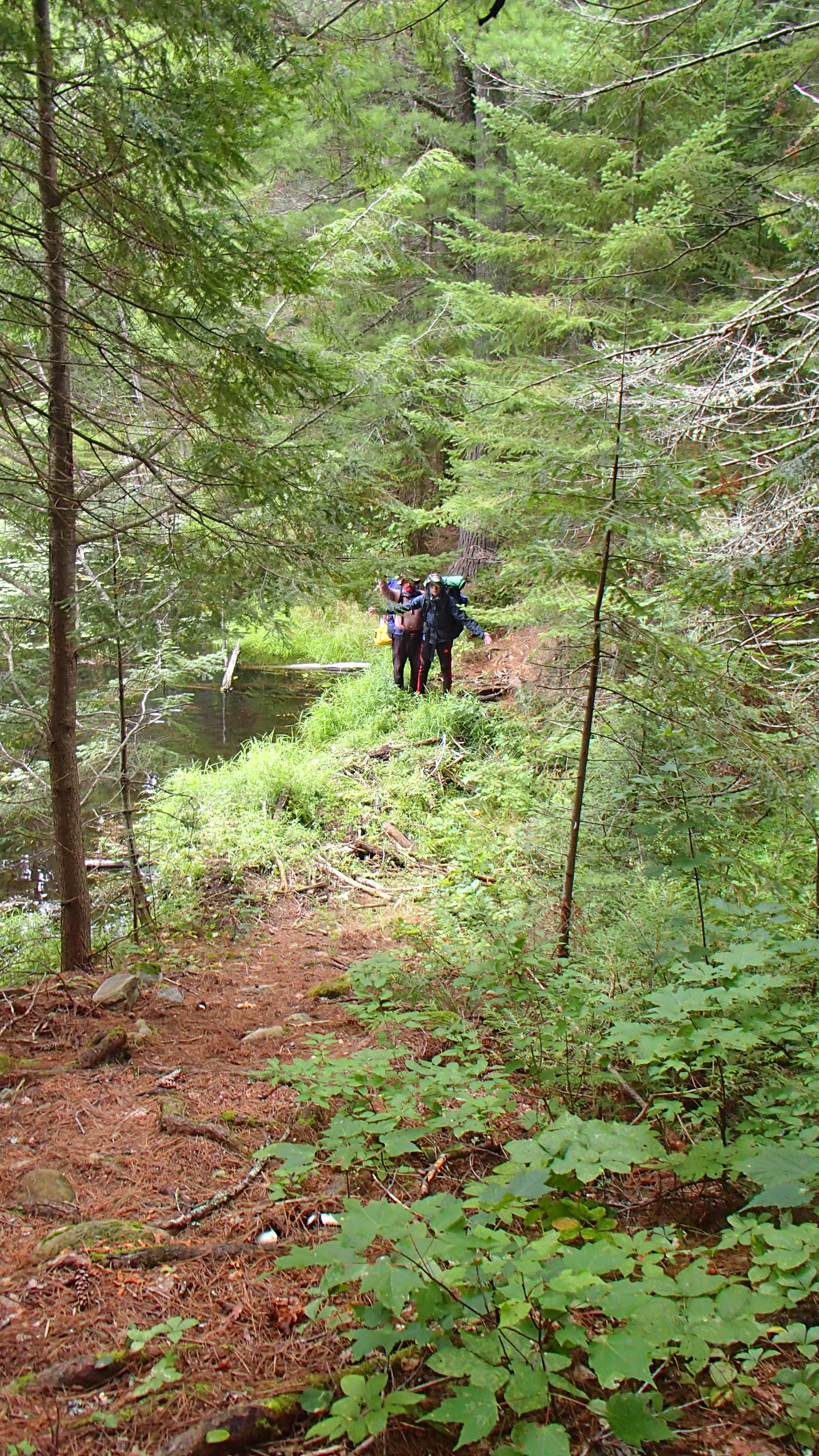
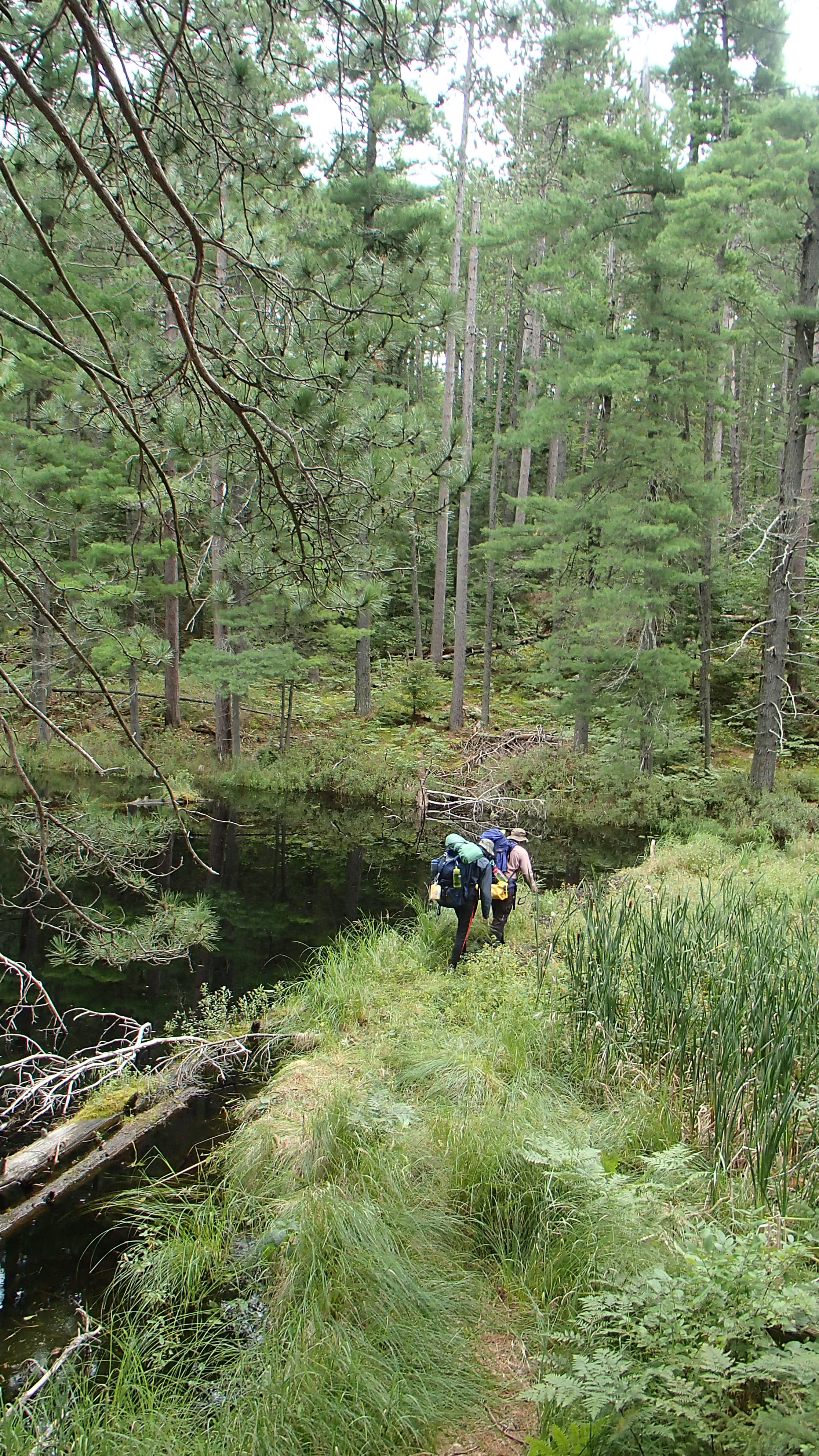
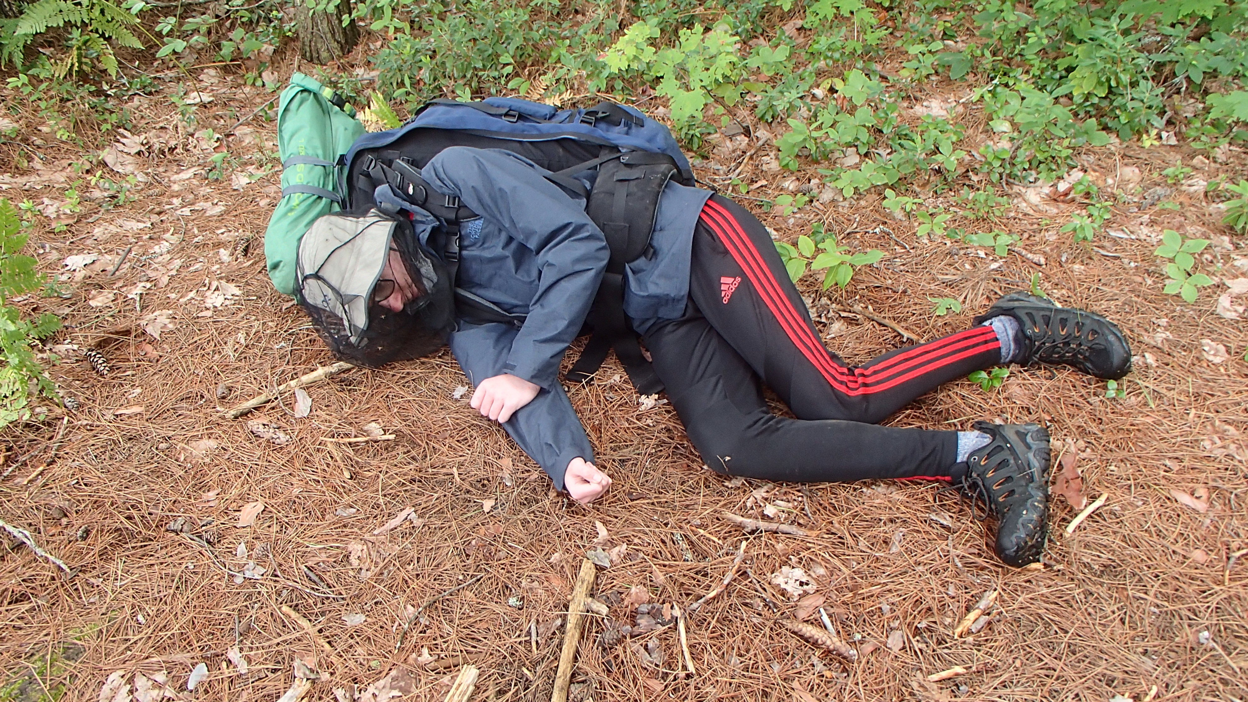
Morning greeted us with more rain. Apparently a dry tent would have lightened our load a little too much to be acceptable to the portage gods. Everything from Little Dickson forward was new territory for us, and we looked forward to exploring all that we could. We packed up slowly in the rain trying to keep as much dry as we could, and pushed off at around 10am to make our way to the Sundassa portage. The newer looking portage sign had no lake info written on it, perhaps a sign of the 'low maintenance' area we were entering. There were two large blow-downs in the first 200 meters, then cleared of any noteworth impediments until it crossed the first logging road. At that point the mosquitos found us. Clouds of them. James had brought a head net almost by accident, and we certainly didn't think to bring anything other than a small bottle of repellant. It was August! We didn't accidentially find ourselves in northern Labrador?! Josh and I wore buffs over our mouth and nose to stop ourselves from choking on them there were so many. I've never experienced anything like it, even when tripping in June.
The Sundassa portage gave me fits beyond the mosquitoes. Somewhere along the trail I managed to get the canoe hung up in some branches, and my backpack became hung up in the canoe trapping me underneath. In frustration I punched the canoe to show it who was boss (sorry Basecamp!) and have it release me, but the canoe remained stalwart in its attachment to the tree and my pack. Josh helpfully came back to save me from myself. I made no notes about Sundassa Lake, still trying to repair my pride from that 2685m portage into the lake.
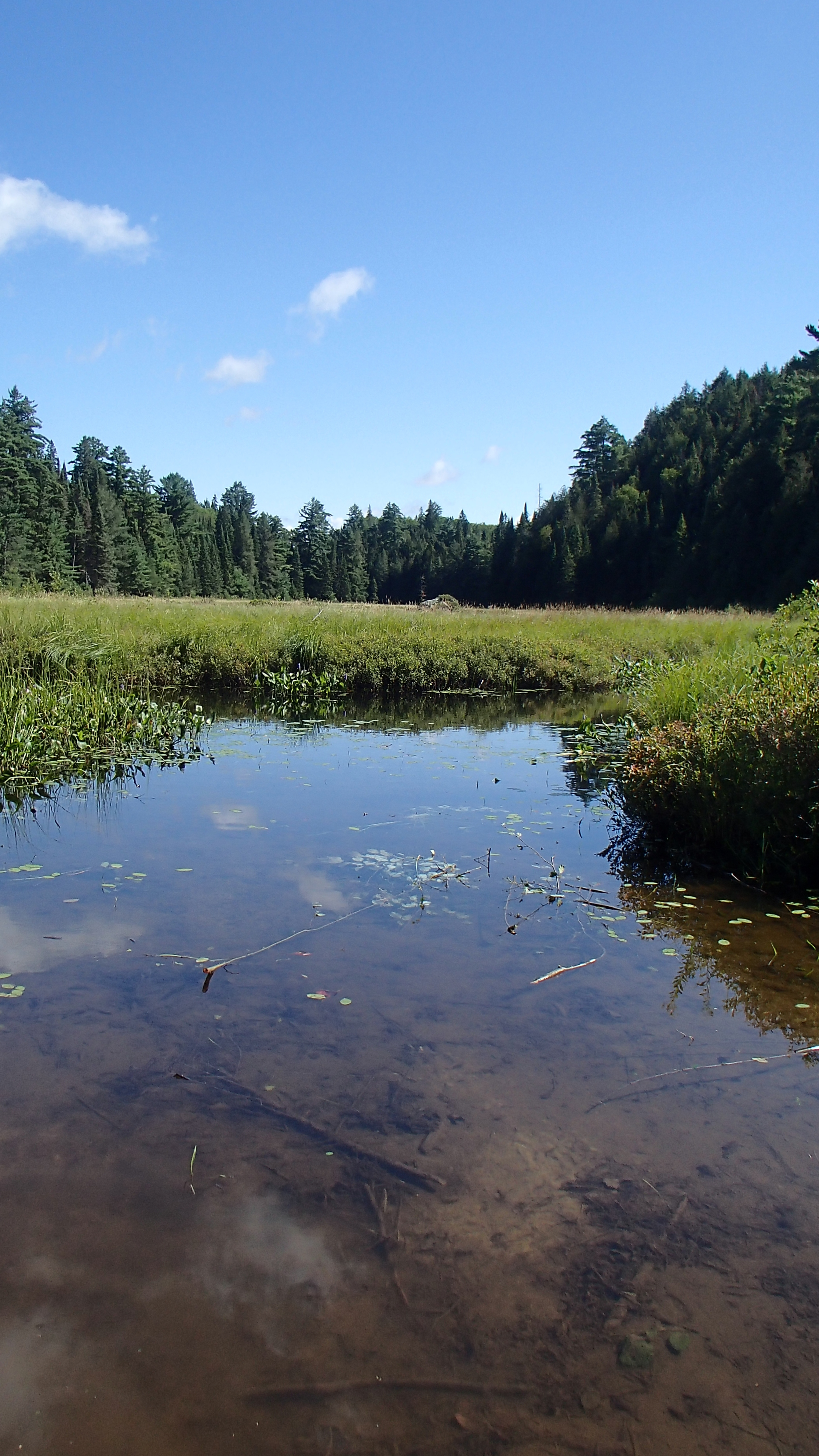
We were curious why the map showed the 1130m portage into White Partridge as two very straight lines. After extensive field research we remain curious.
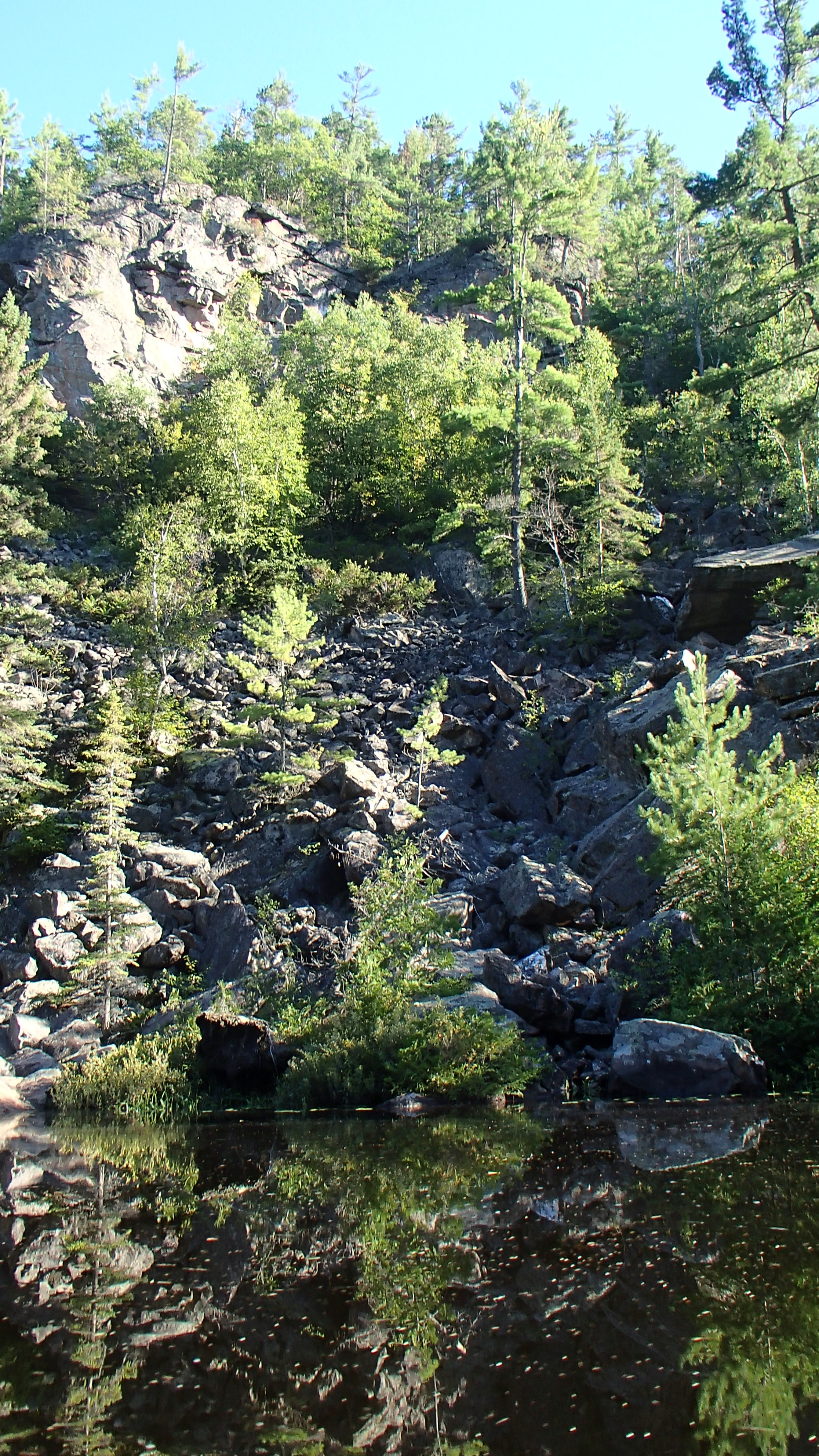
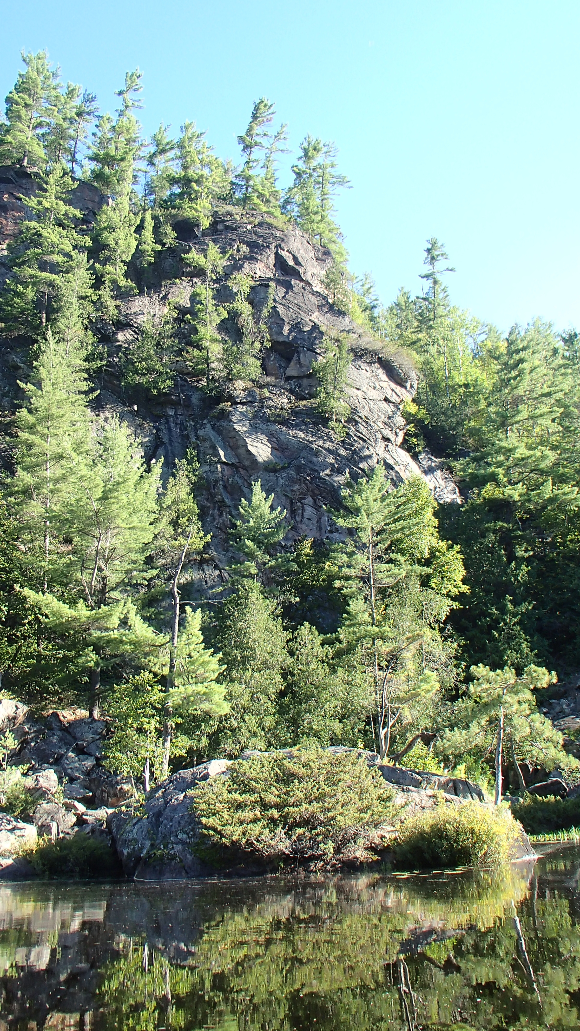
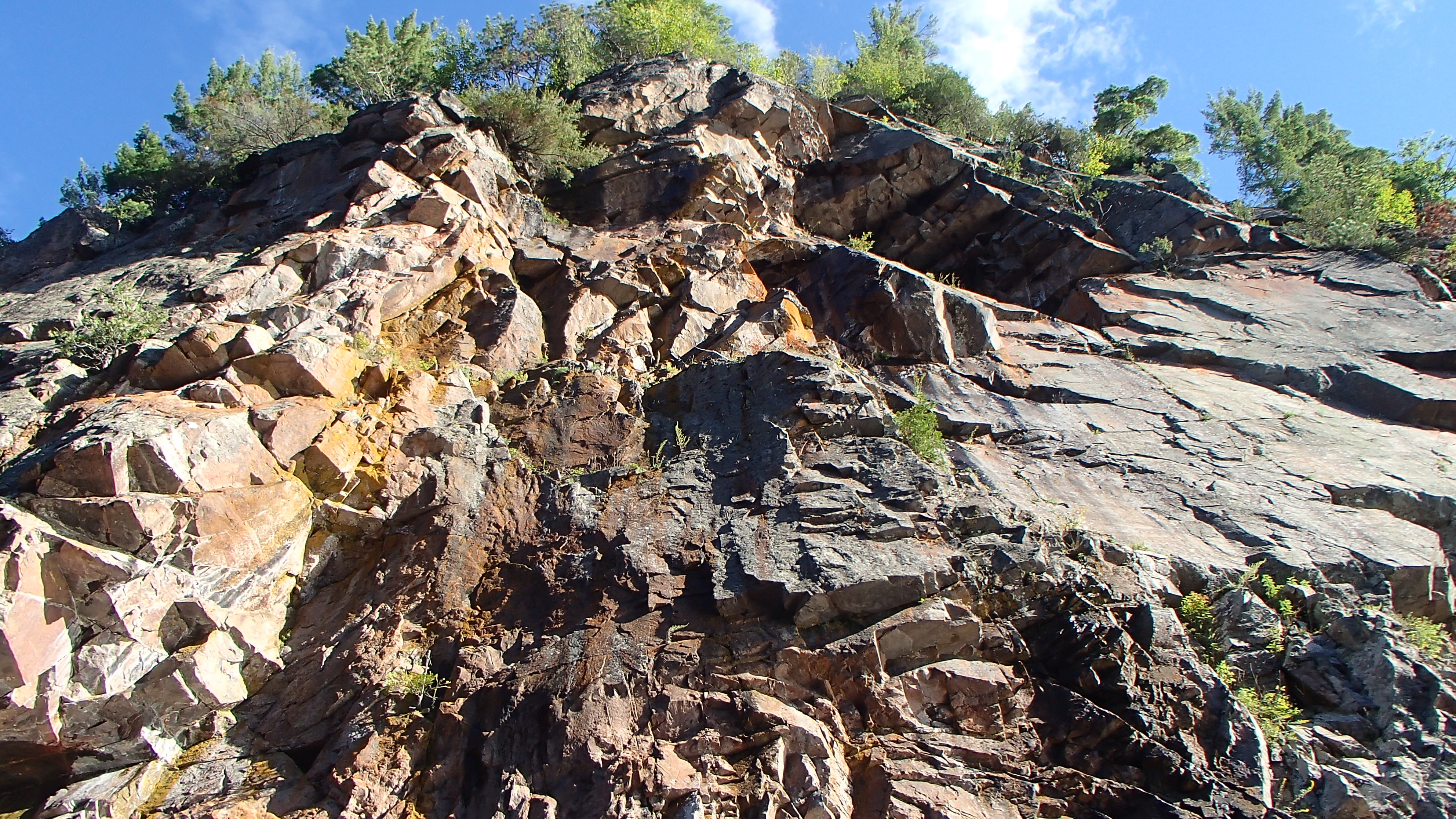
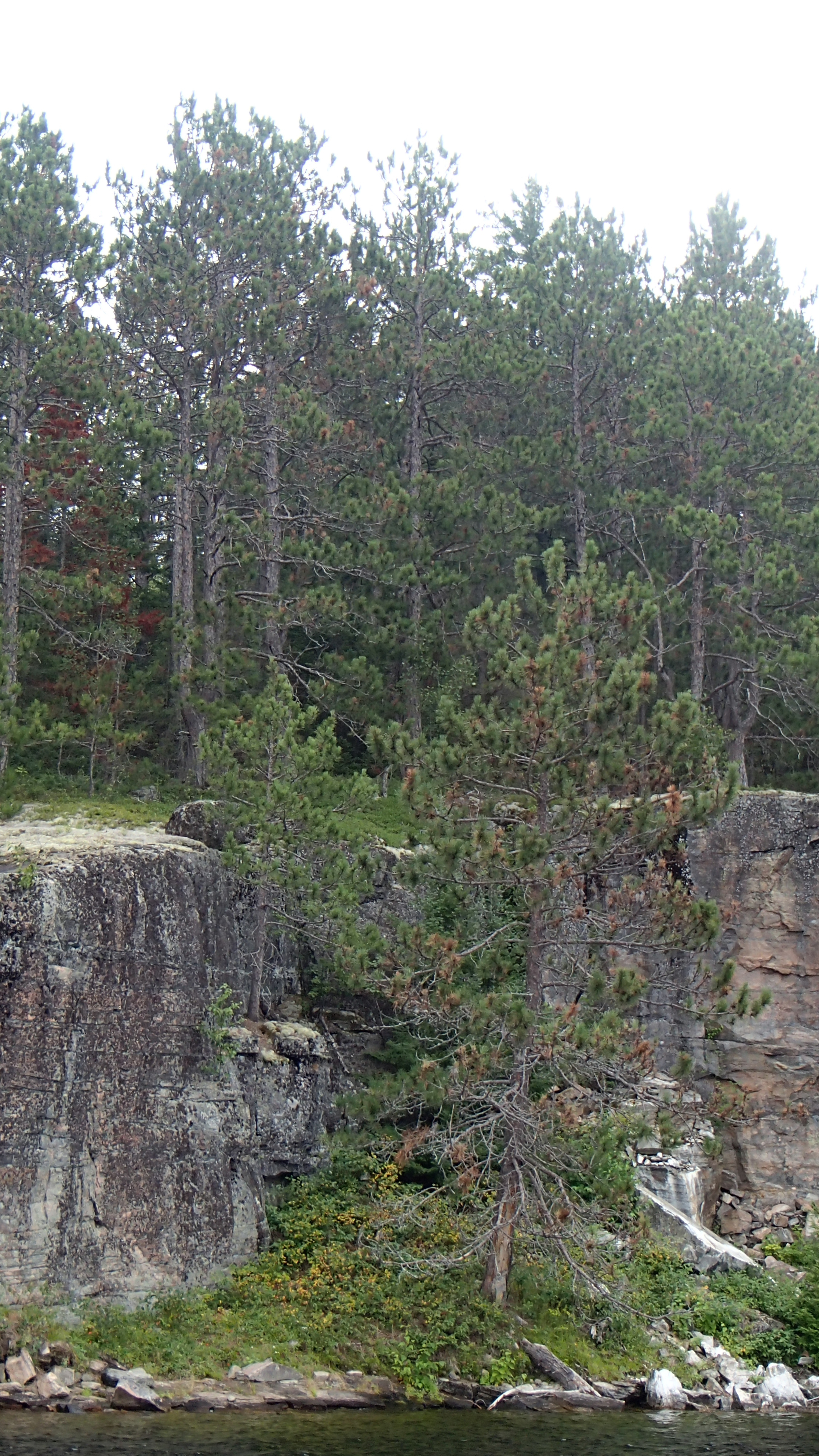
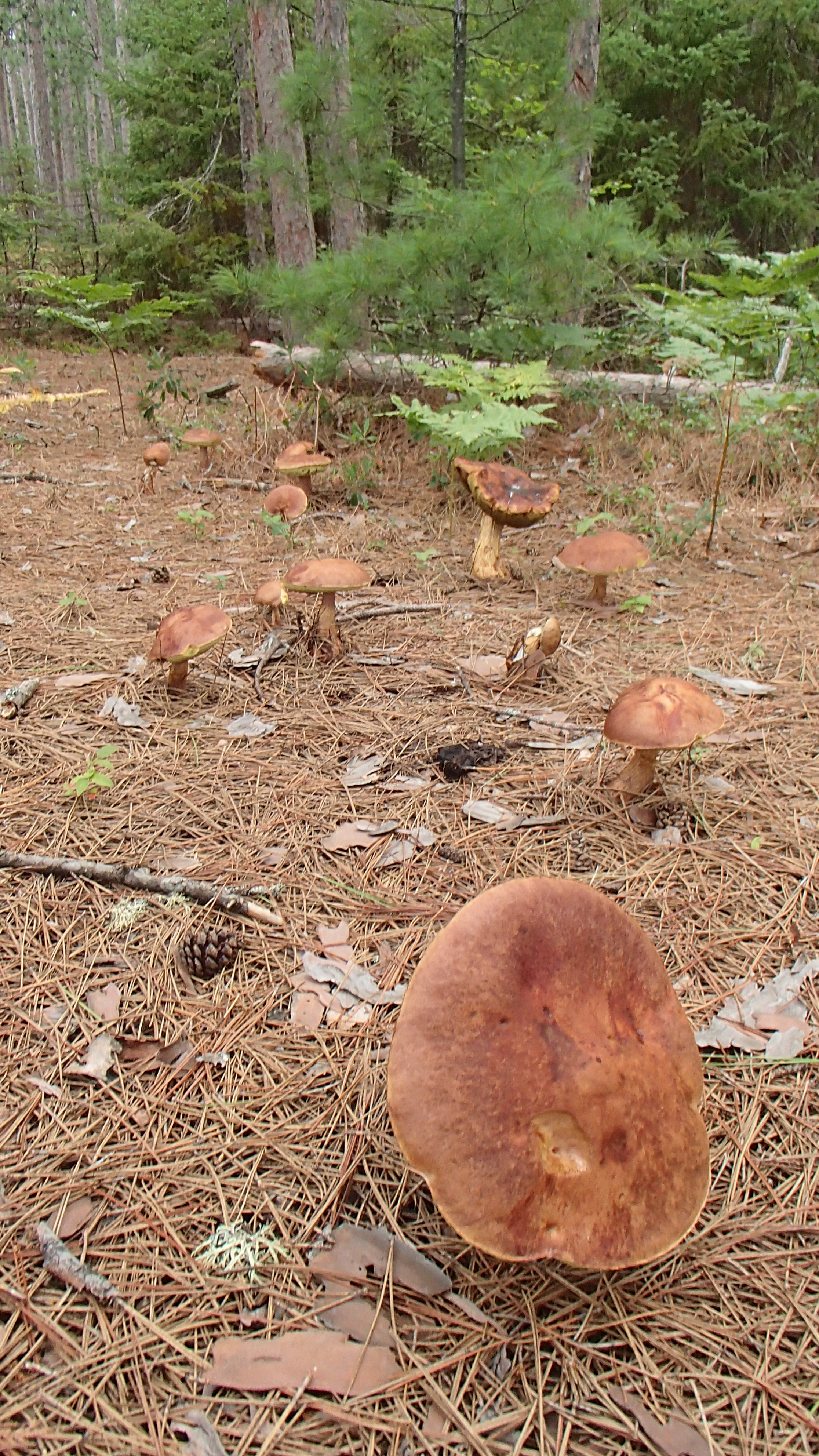
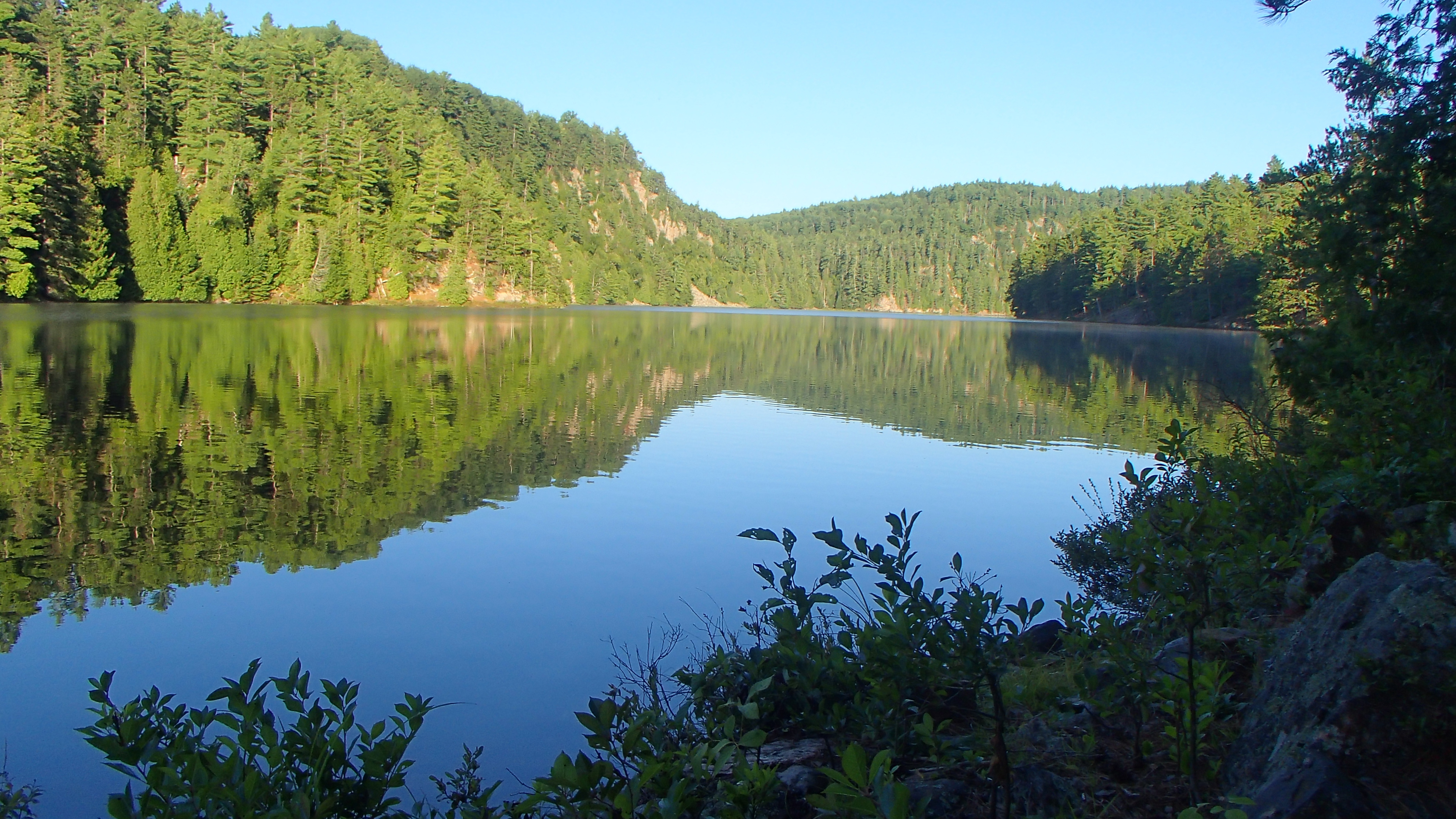
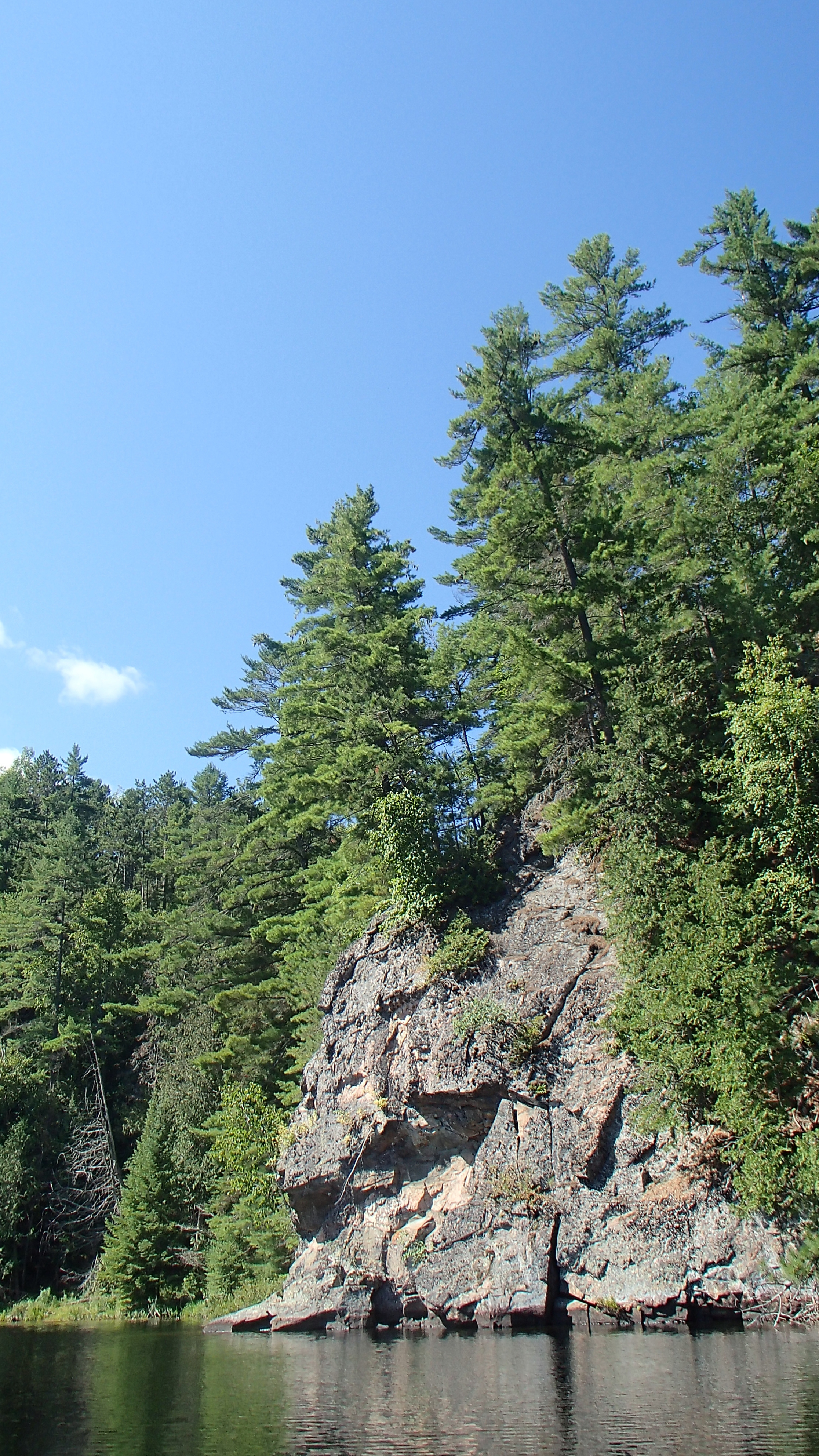
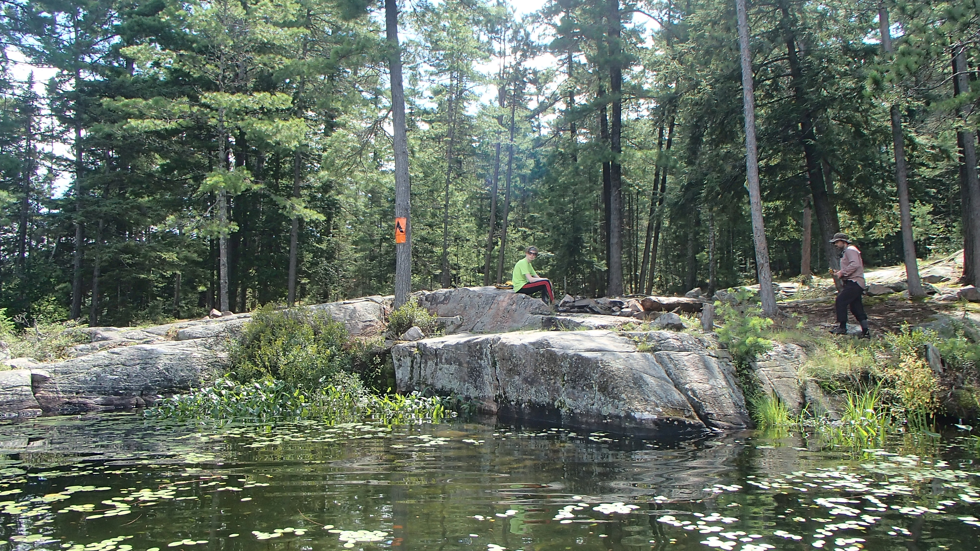
We stopped at the White Partridge site just south of the portage end and cooked up some lunch The lake had a very remote feel, and I regretted not booking an extra night to stay on the lake. The site we stopped on wasn't much, and by the looks of the site and firepit it hadn't seen visitors in a very long time. With lunch consumed and clean-up complete we explored the cliffs on the opposite shore for a little while, and admired the clumps of hardwood stands around the lake. It must be a beautiful area in the fall. Eventually we landed at the 560m portage that took us more up than across to May Lake.
The final portage into North Branch must have heard about the thrashing the Sundassa carry gave me and let me off easy. Given the campsite on White Partridge we were curious what shape we would find the North Branch sites in. The first campsite on the east side of the lake turned out to be very welcoming. It had seen recent use based on the ash in the firepit, but showed little sign it had ever been abused. We took another swim to rinse of the day, set up camp, and ate dinner. There were light sprinkles of rain here and there through the afternoon and evening, the heavier storms holding off long enough for us to relax before heading to bed. The past couple of years we were so successful sleeping under the stars we debated bringing the tent for this trip. With all the evening rain we were glad we had changed our minds.
Day 6 (Friday): North Branch to Green Leaf Lake
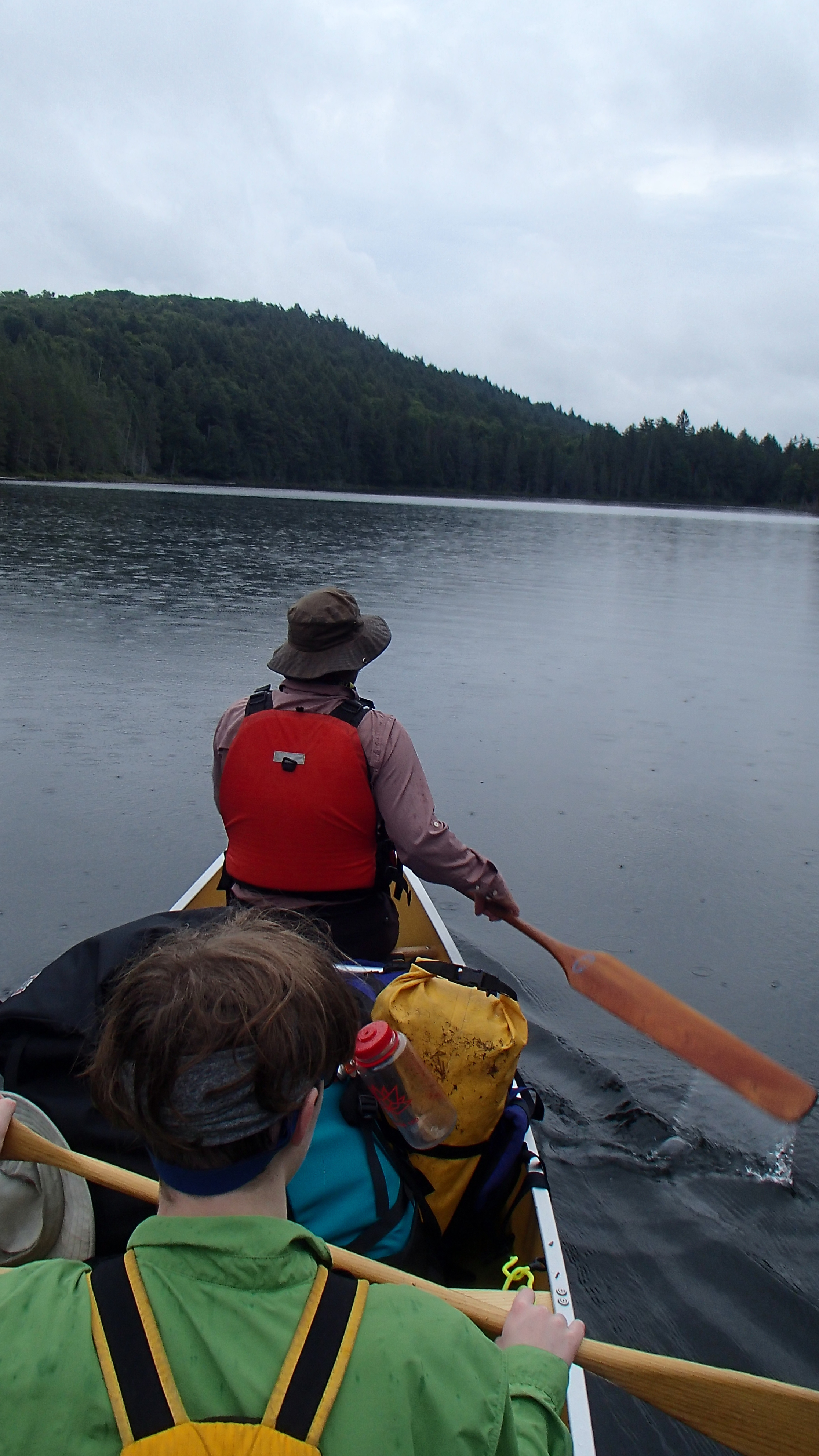
It rained through the night and continued into the morning. The first word written in the trip notes about the day was "Ouch". If I had lost my legs on Dickson-Bonfield, the rest of me was abandoned on that Sundassa portage. The rain eased enough to coax us from our warm beds, and we packed up without getting too wet. We pushed off at around 10:30, a little later than the day before and a growing trend.
We "Deeted" up, loaded up, and started down the portage to Loonskin Lake. The portage felt like a long one to us, but not overly challenging. The mosquitoes were still very bothersome possibly because the trail runs beside beaver meadows, and even crosses water a couple of times over the top of beaver dams. I set a new personal best killing 12 of them with one "slap" on my forearm... As we approached the end of the portage a HUGE tree fell down beside the trail with a heart stopping crash, first hand evidence falling trees can be heard when people are present.
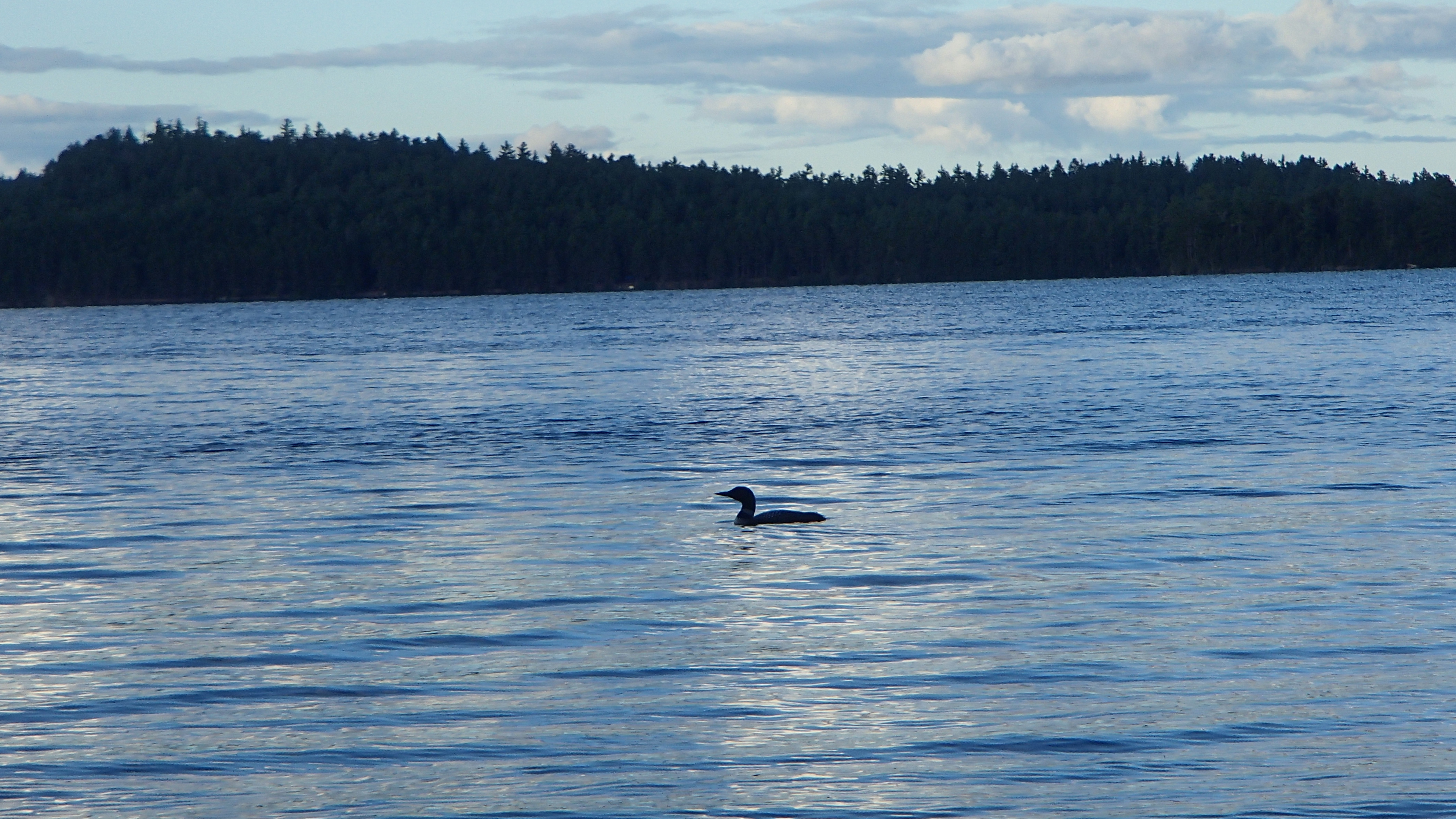
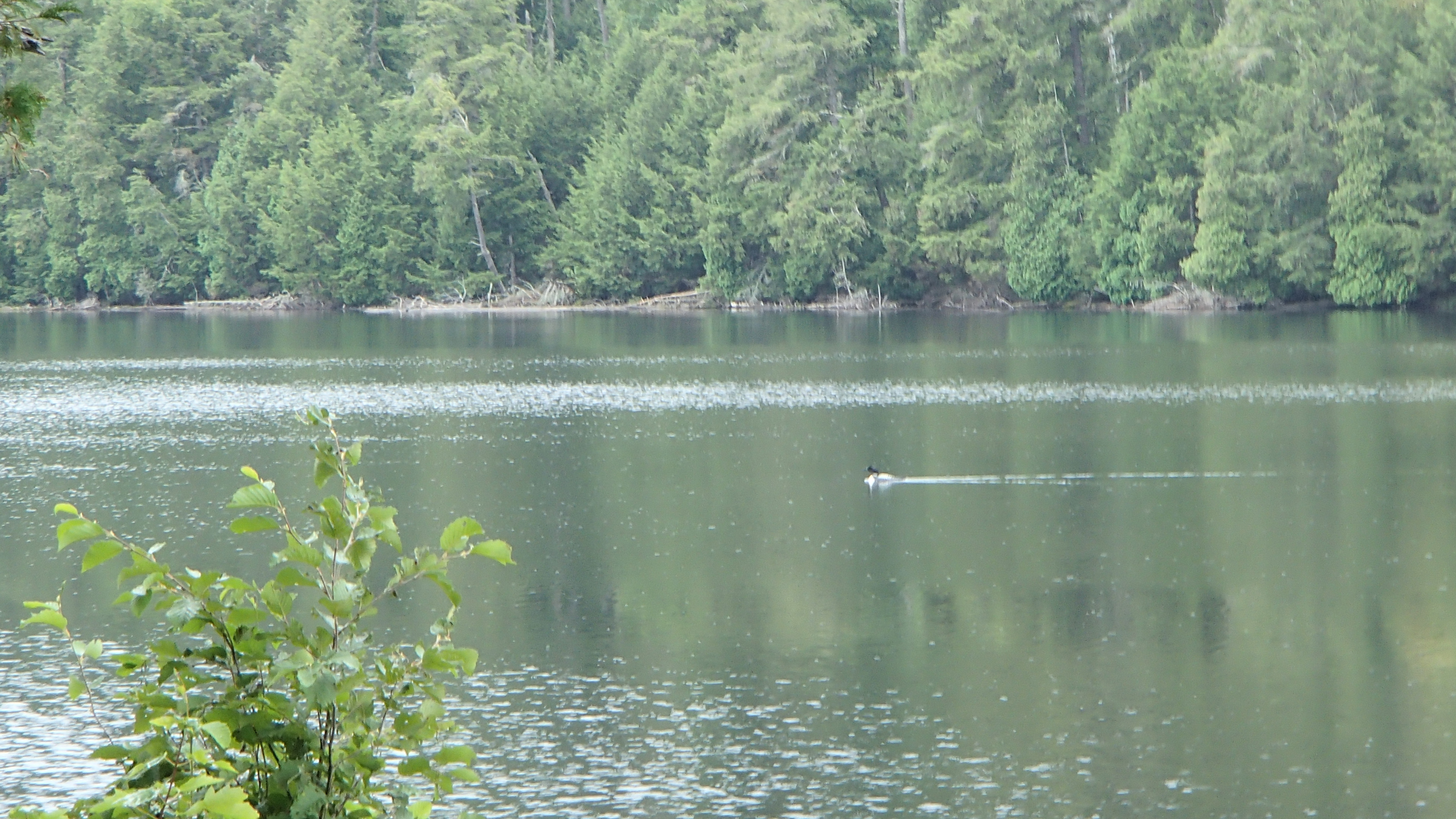
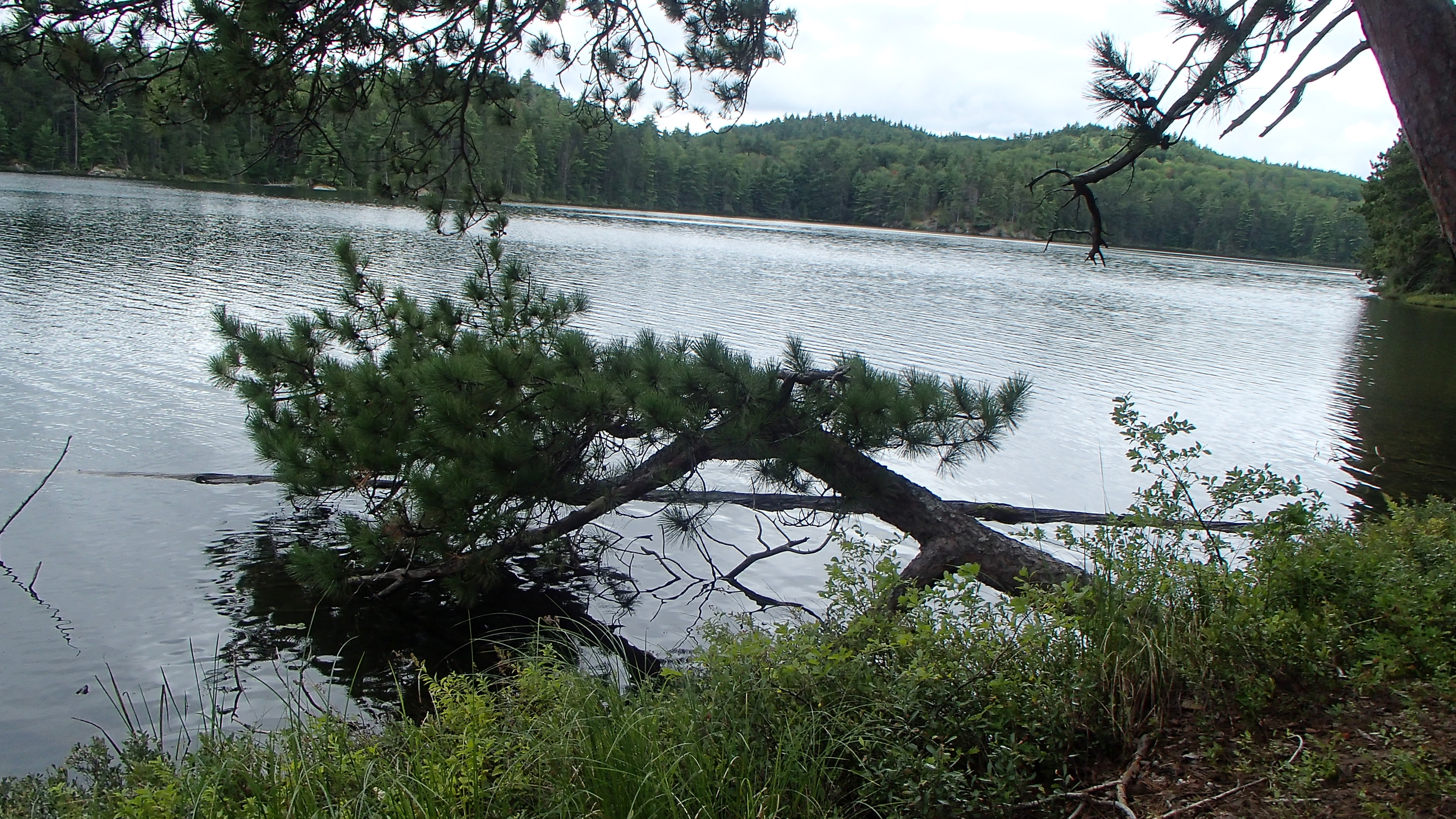
Loonskin was achieved at lunch time and all was quiet. We cooked up some sweet potato stew on the "middle" site, which appeared to have received maintenance not long before our arrival by sporting a freshly raked firepit area. Loonskin lake also had a beautiful remote feel to it that made us want to stay. A pair of loons gave us a show beside the campsite as if to make further argument for staying. In the end we pushed on to our intended destination: Green Leaf Lake.
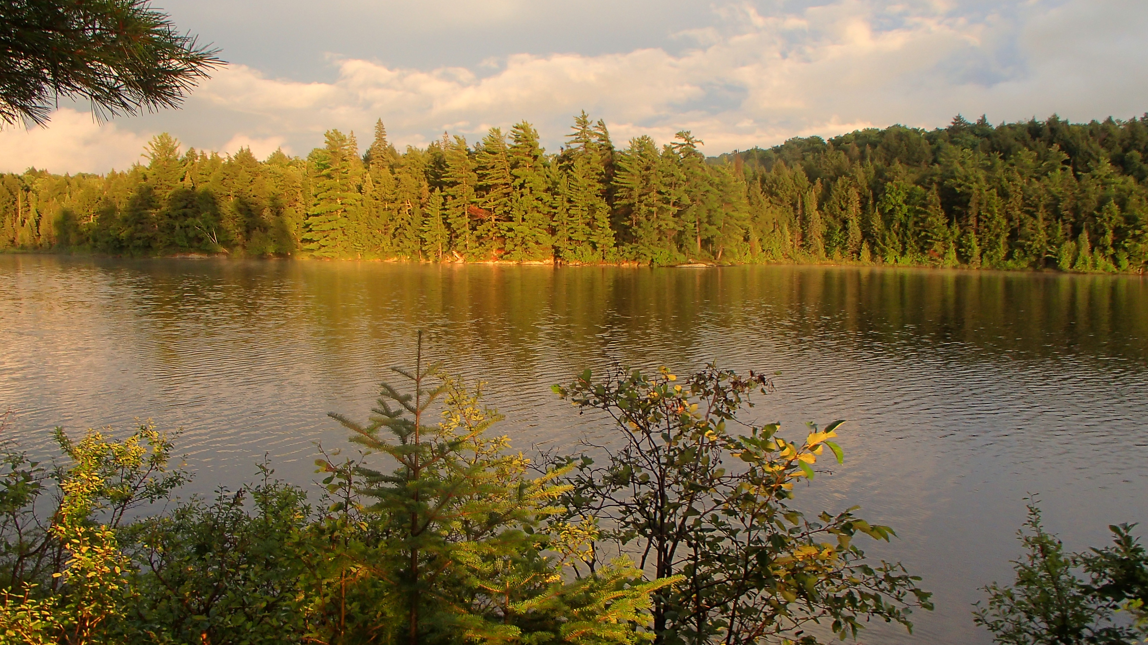
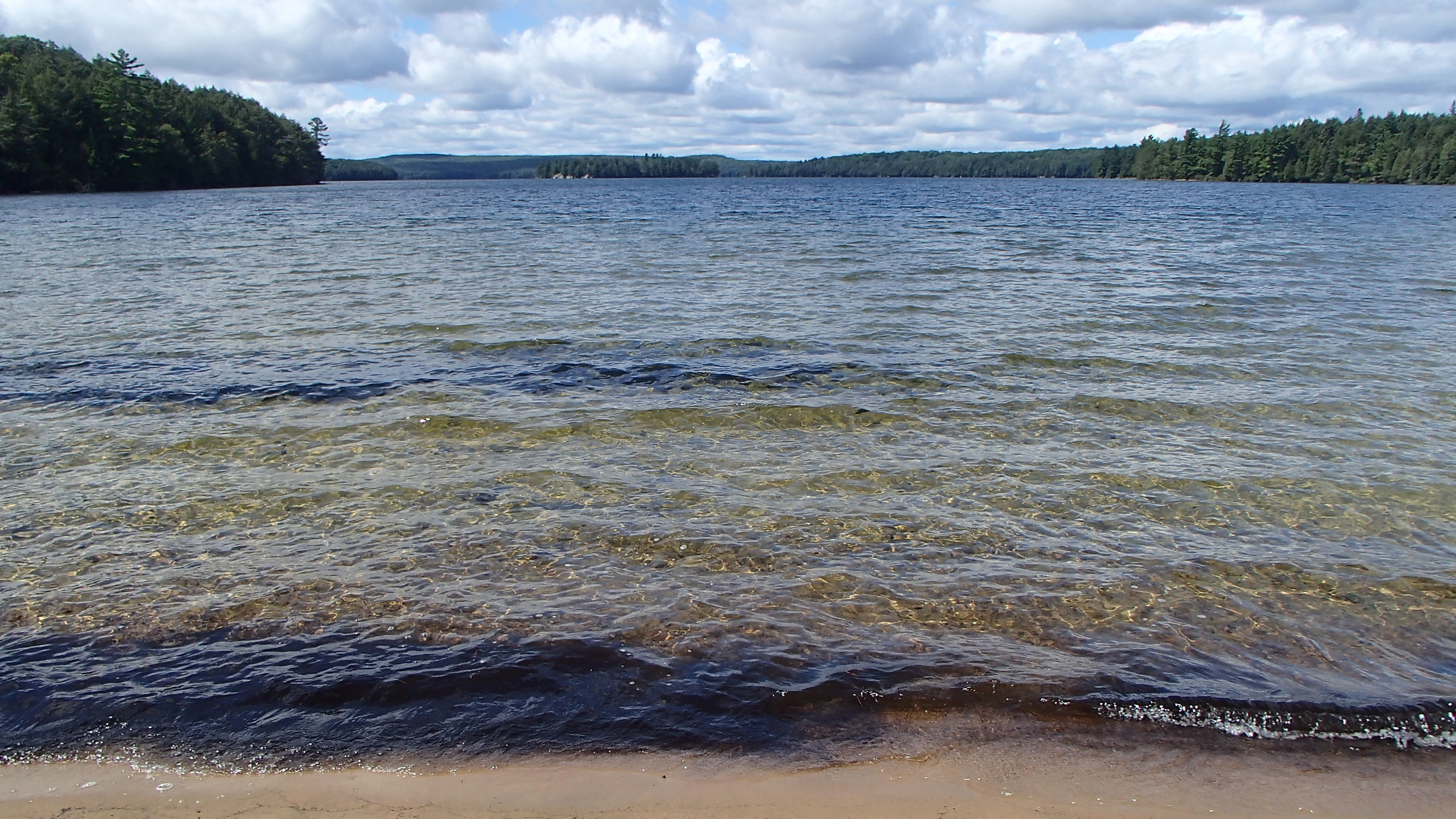
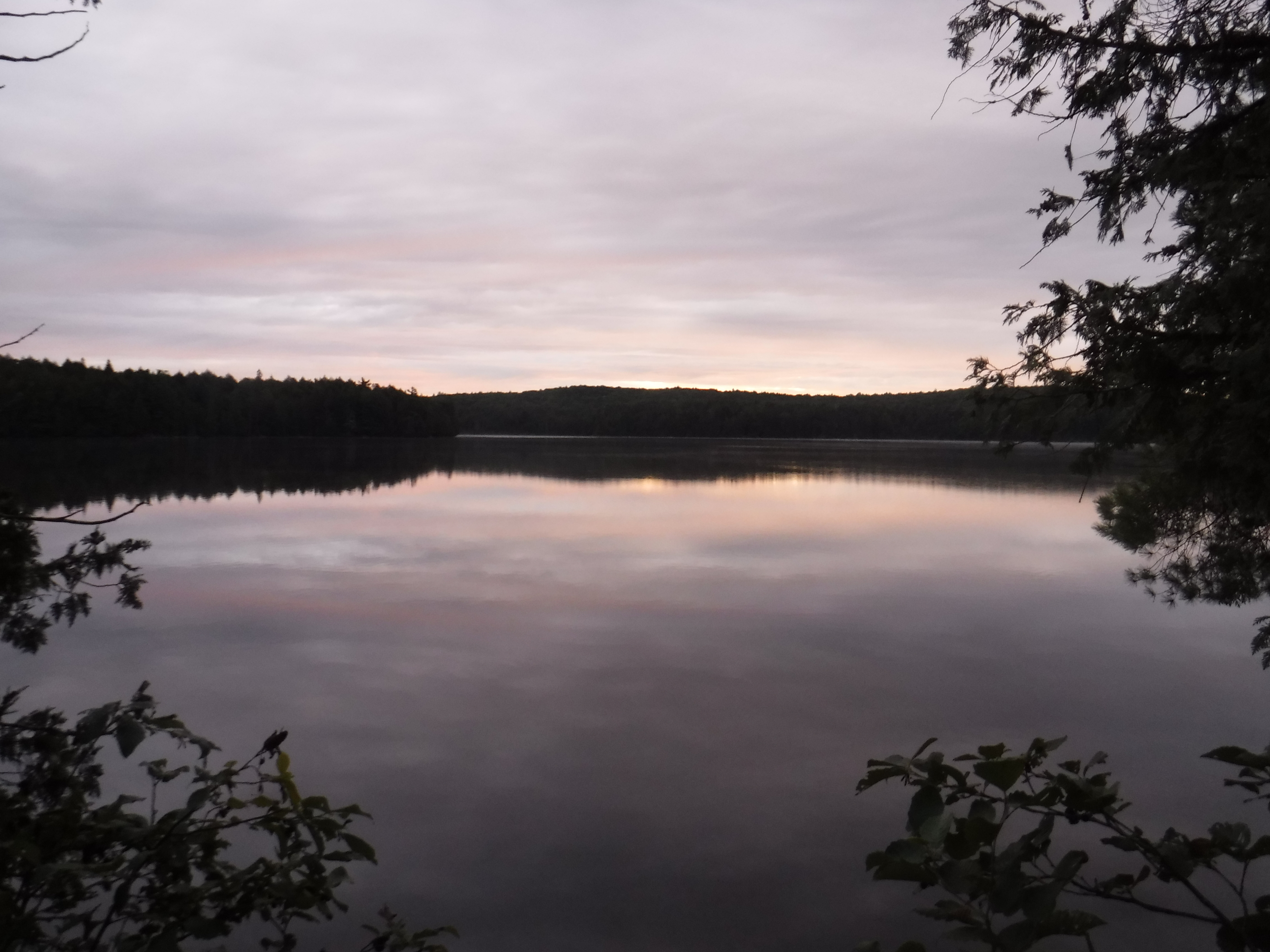
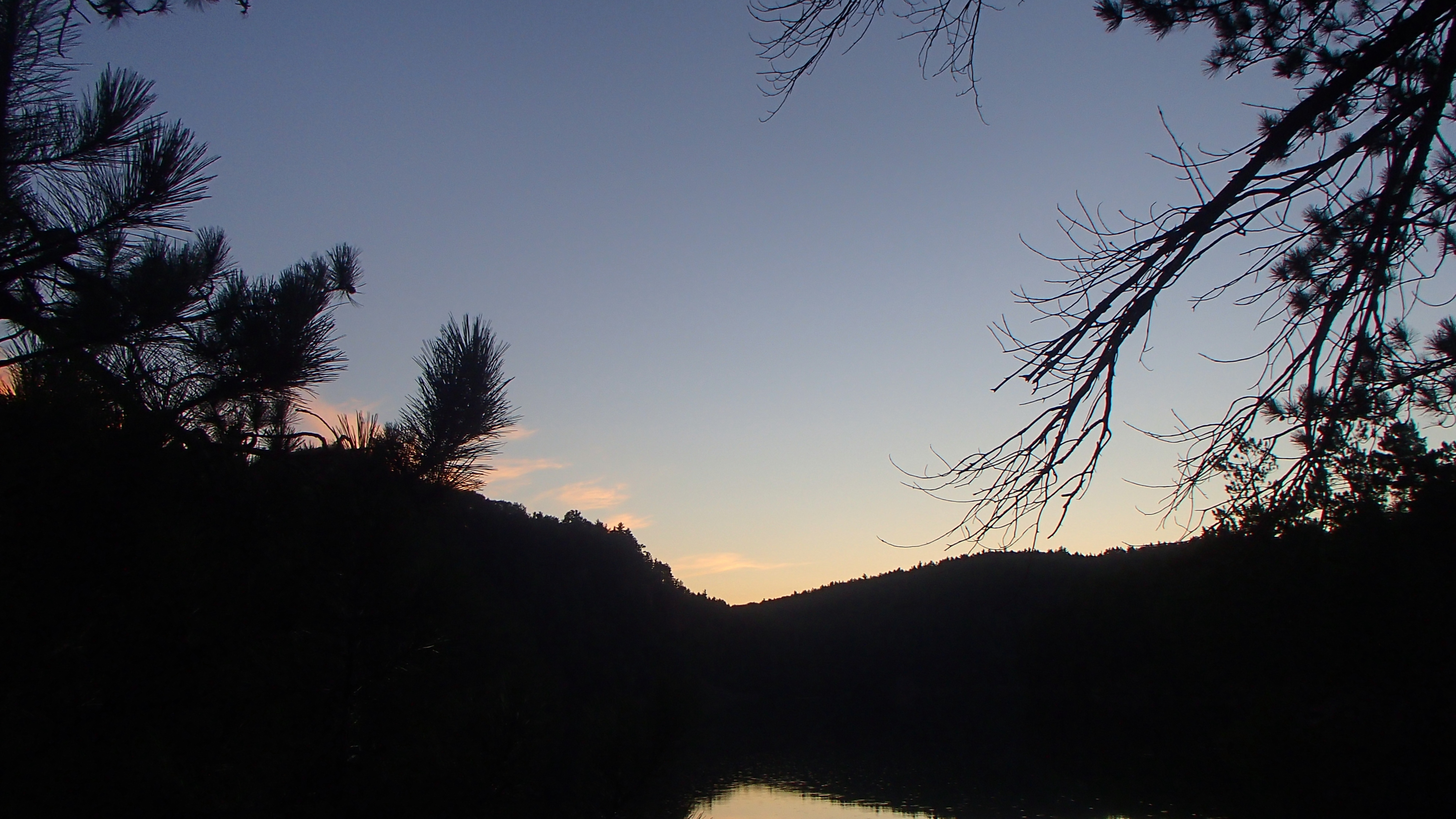
The expanse of Barron Lake also invited us to stay, but we insisted we reach our destination. Green Leaf did not disappoint us with our decision. We stayed on the northern most site surrounded by the lake's cliffs. A sunny swim in crystal clear water, wonderful dinner, and a night sleeping under the stars were a very welcome change, and felt like a reward after a couple wet, portage heavy days.
Day 7 (Saturday): Green Leaf to Wenda Lake
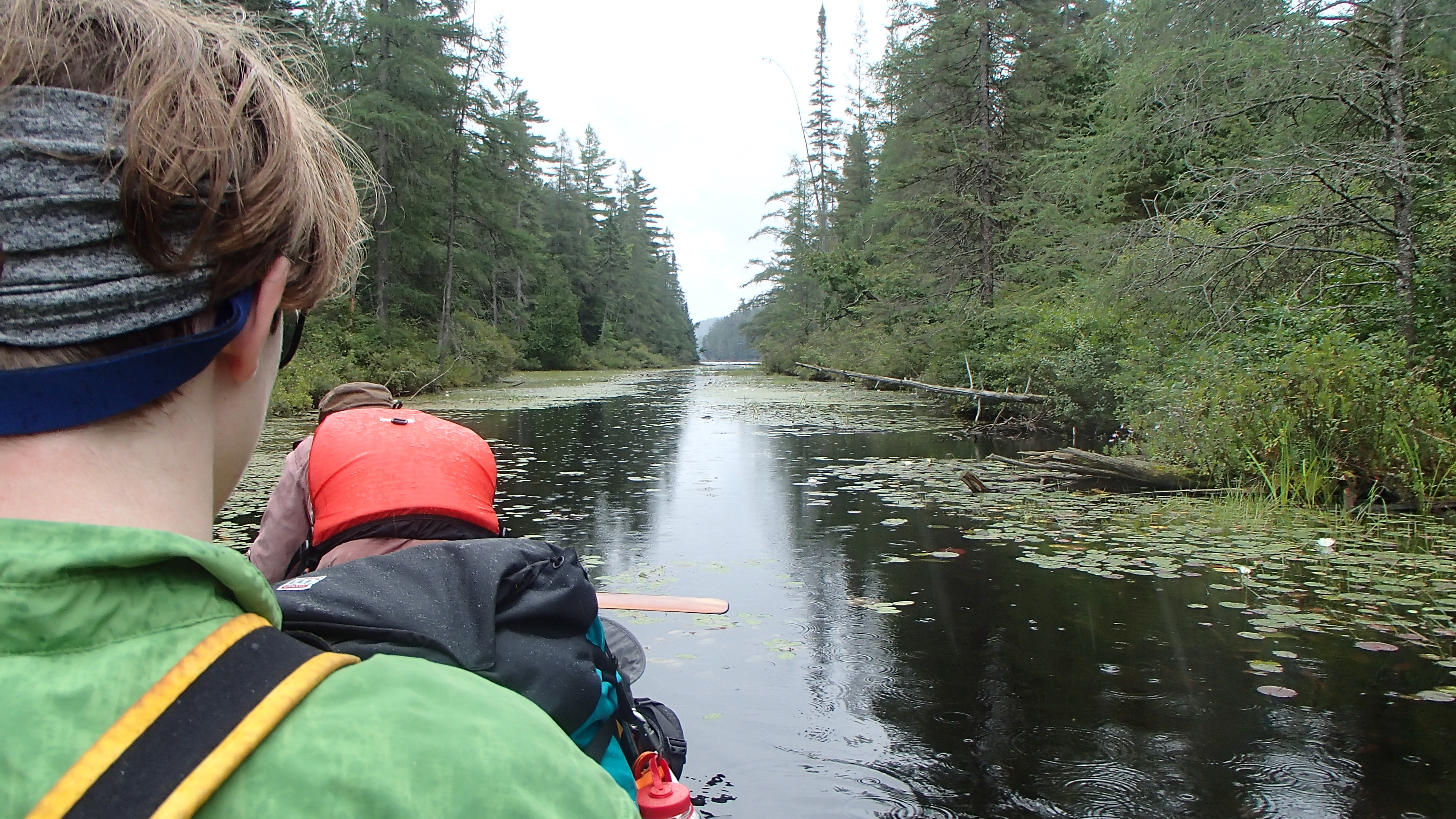
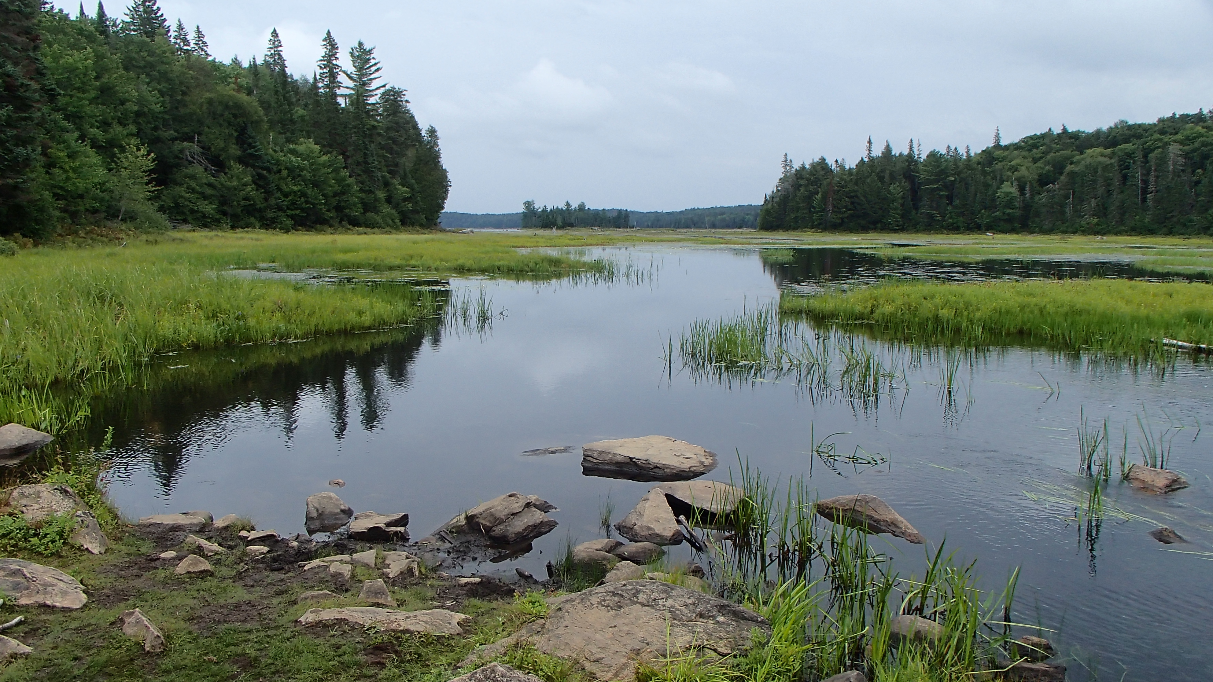
It was a sunny, still, and warm morning. We lounged around a little, then packed up, loaded up, and then paddled most of the northern shores to experience more of the lake before making our way to the 440+585+530m to Carcajou Creek. Much of the portage is on the road along the hydrocut, a stark contrast to the lower traffic portage trails we had been walking the previous couple of days.
Given our experiences so far we believed water levels were high, or at least not low. Still, we had to pick our way through the marsh in order to get to the portage into Caracjou, back-tracking a couple of times after taking "the wrong way". On Carcajou Lake the southern most site was occupied by the first people we had seen since the middle of the Bonfield-to-Dickson portage. That occupied site looked stellar from a distance!
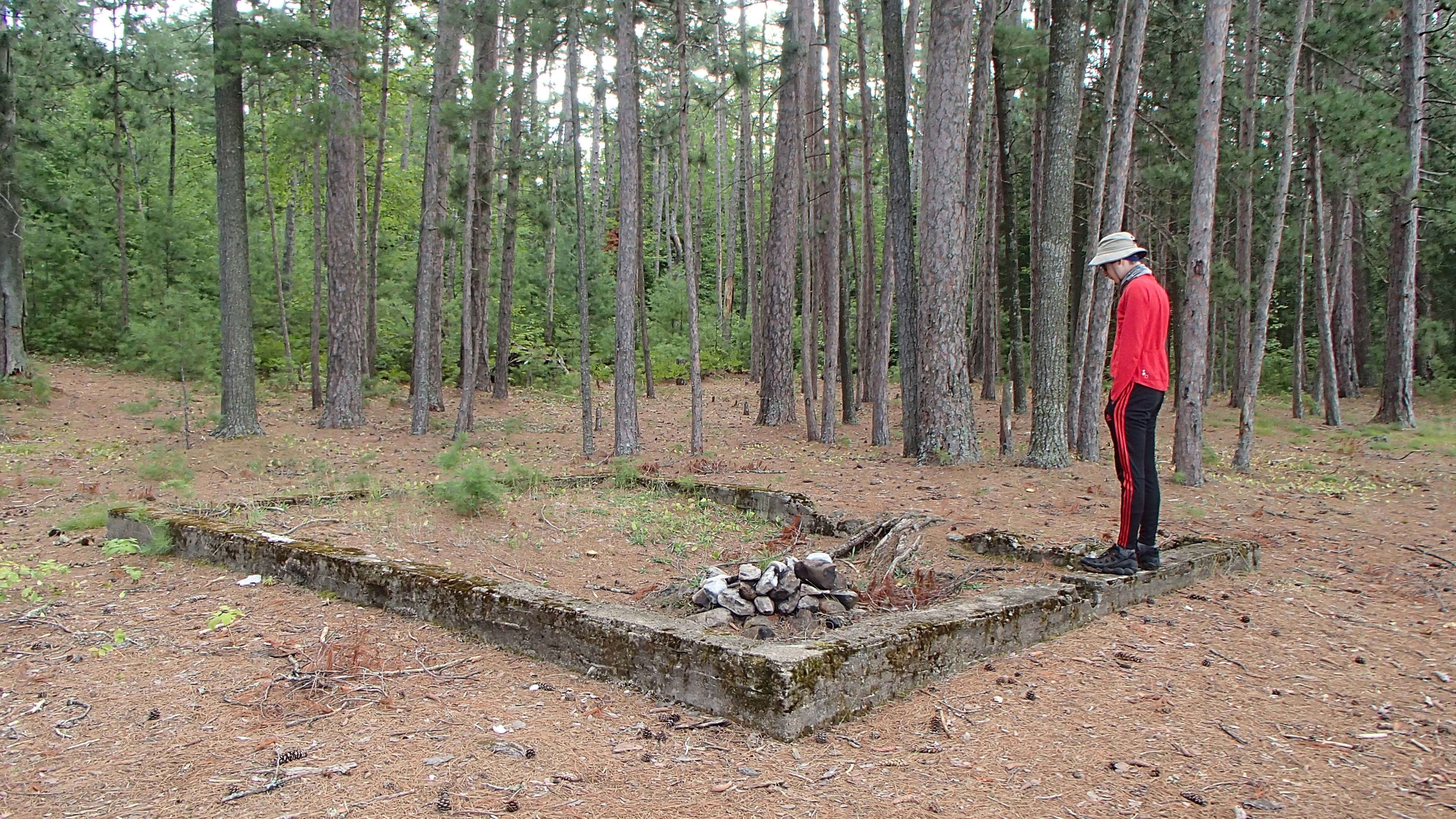
I made the first portage after lunch way harder than it needed to be by missing a directional sign on a tree, not being able to see it under the canoe. I headed down the wrong "path" that ended about 50 meters in. Once we managed to back out of that mess we made very quick progress over the next five portages landing us on Wenda Lake, our destination for the evening. A "new" campsite not on Jeff's Map looks to be a good one on the north end of the lake, though maybe a bit "reedy" for swimming. We pushed on to the campsite beside the cabin. We hadn't made up our minds about taking the 3950m portage over to Grand lake, or continuing through Little Carcajou and the Spectacles. Our thought was sleeping beside the beginning of the portage might give us enough information to make the decision easier.
The campsite itself was average while the cabin teased us with its cozy looks. We would have loved to have been able to book it but it wasn't meant to be. We swam, cleaned up, made and ate dinner, and lit our second campfire of the whole trip! We had a very pleasant evening and turned in later than usual. In the early morning hours we were woken by rain, making us hyper aware of the cozy cabin sitting on the site.
Day 8 (Sunday) Wenda Lake to St. Andrews (or Stratton)
We woke up to a wet site, though the rain had quit at some point while we were asleep. We decided to access Grand Lake via the 3.8k portage that started behind the cabin. We had debated between this portage and the route through "the Spectacles" since our night on Little Dickson, and as we came closer James response to even the slightest hint about the portage was a definitive "NO!". Since the answer was always "NO!", we started referring to the portage as the "NO". Should we do the "NO"? How about the "NO"? That other way could be harder than the "NO!". In the end we decided to use the "NO!" to get to Grand Lake in one "hop".
I regretted the first twenty minutes of that decision. I had to put the canoe down thrice getting hung up on branches or not being able to navigate a tight turn with the 18.5 foot limo. There was shin deep mud from the rain along with sketchy footing, all while the portage seemed to head straight up. Mercifully the trail opened up, straightened out, and leveled off to provide a pleasant carry. The trail eased downhill for a good long time (anyone heading the opposite way beware!) until Grand Lake was attained. In the end the "NO!" was a decent choice. We will have to return to try the other way to compare and contrast the two options...
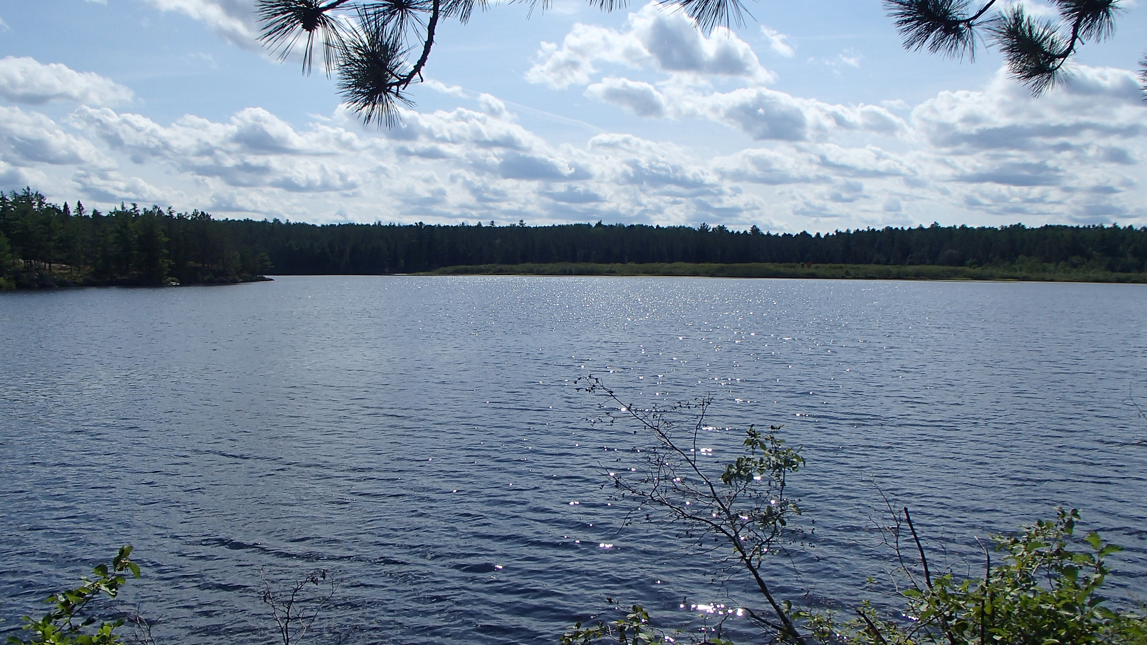
Grand Lake was eerily still on our arrival. With the Wenda to Grand portage complete not much stood between ourselves and the end of our trip, and I could feel the canoe and its occupants relax through the first few paddle strokes. A stream of canoes quietly moved up the opposite shore nearing the end of their journey as well, we assumed. We cooked up lunch at a campsite on the west shore across from the campground, watching and listening to people playing on the beach.
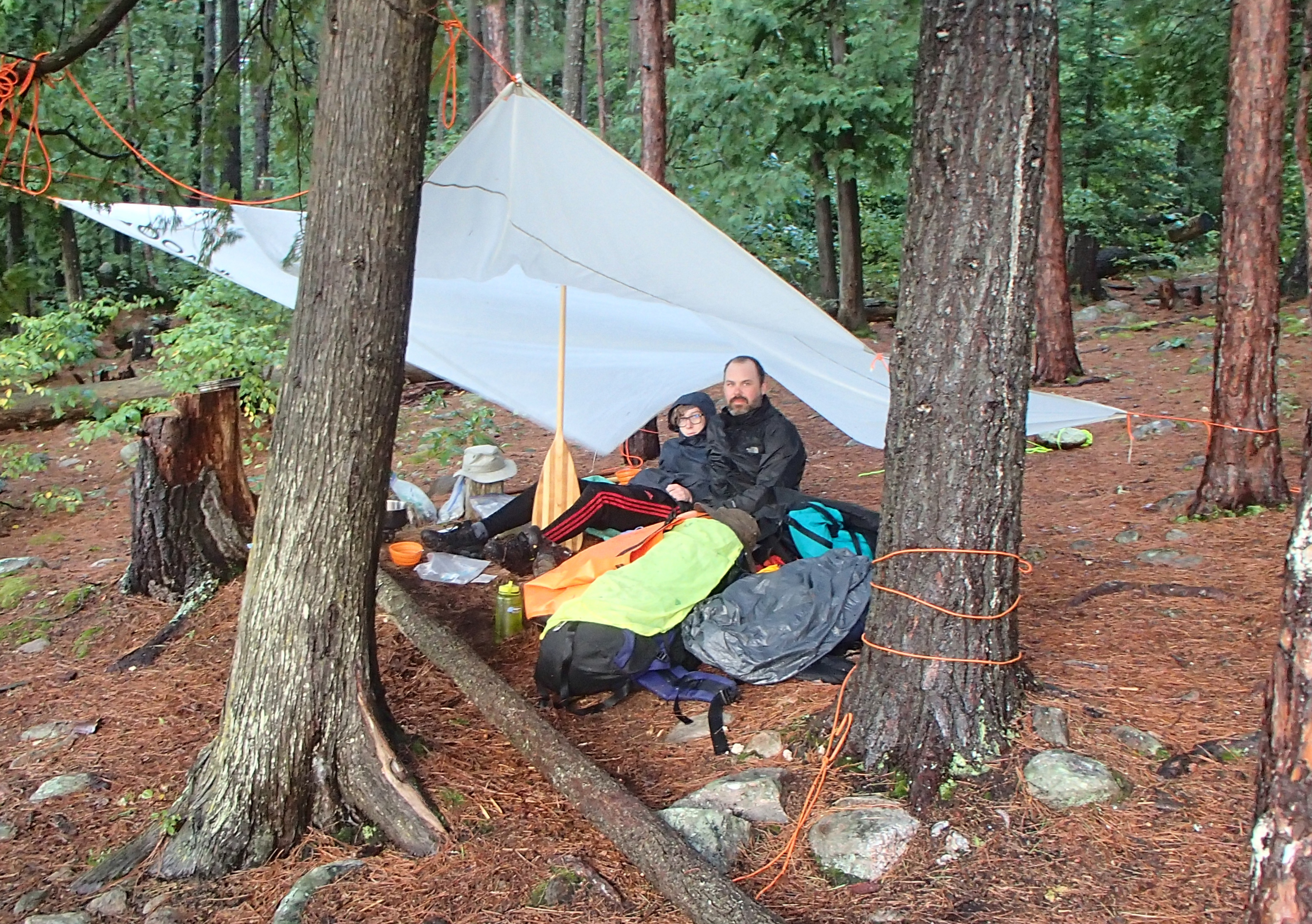
After lunch we slowly made our way to the 50 meter portage into Stratton. Not far down Stratton we heard nearby thunder rumbling. Looking north the sky had become extremely dark with no hint of a breeze. The rumbling intensified, so we zipped across the lake to an unoccupied campsite on a north shore point (PCI #19). We were not booked to stay on Stratton and it was fully booked, so we hesitantly set up a tarp for shelter as the sky darkened and lightening flashed all around us. The lightening and thunder continued for several hours so we set up the tent, figuring we wouldn't be able to move before dark.
The rain came down heavier, and the thunder kept booming. We called out to a group hurrying by to tell them they were welcome to come off the water. They accepted and quickly set up their shelter while the rain came down in sheets and the lightening intensified. We cooked a late dinner under the tarp while watching the storm thrash the lake.
The storm stopped before twilight long enough for the other group to find some tent pads on the uneven and hilly site, and we buttoned down our gear for the evening. The site had a park-supplied cable hang line for our food, which was very helpful! We had a quick swim and then headed to bed. Later that night another intense storm thrashed for hours.
Day 9 (Monday) Stratton to Opalescent Lake
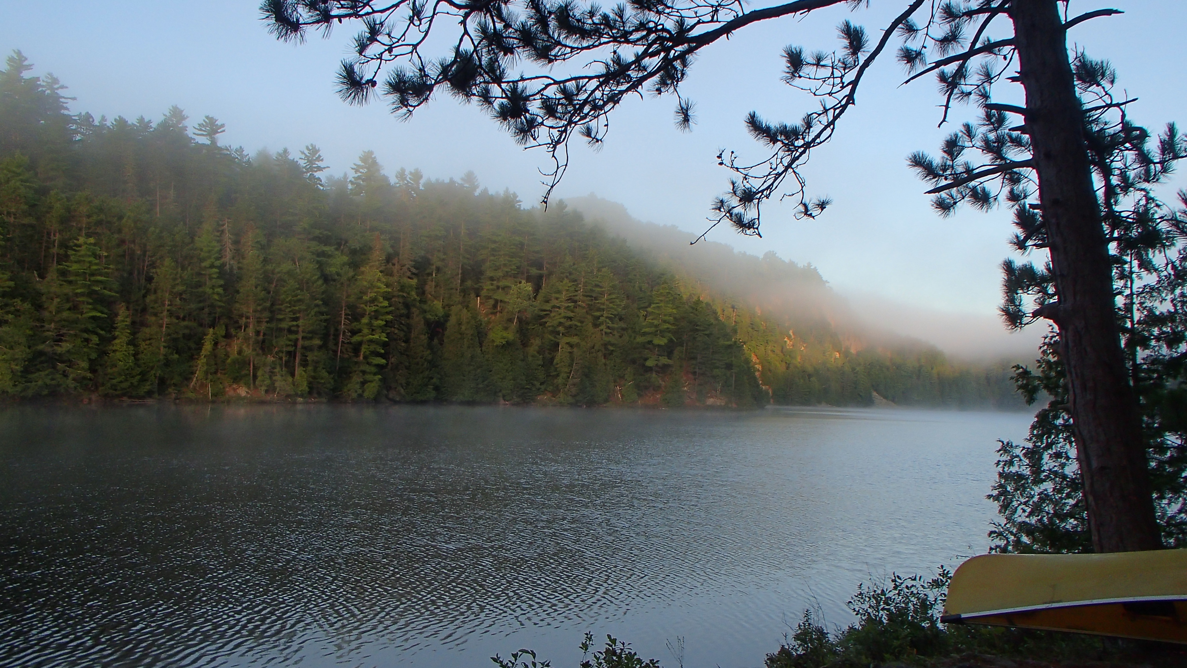
We reluctantly exited the tent to a soggy world. I left my travel cloths that were damp from the previous day's rain out to dry overnight. They would have been more dry had I left them in the lake. We ate a quick breakfast and packed up quietly so as not to disturb our campsite guests. Perhaps we were the guests? We never asked if they were booked on the lake. We pushed off on a calm and misty lake making our way to our last campsite of the trip.
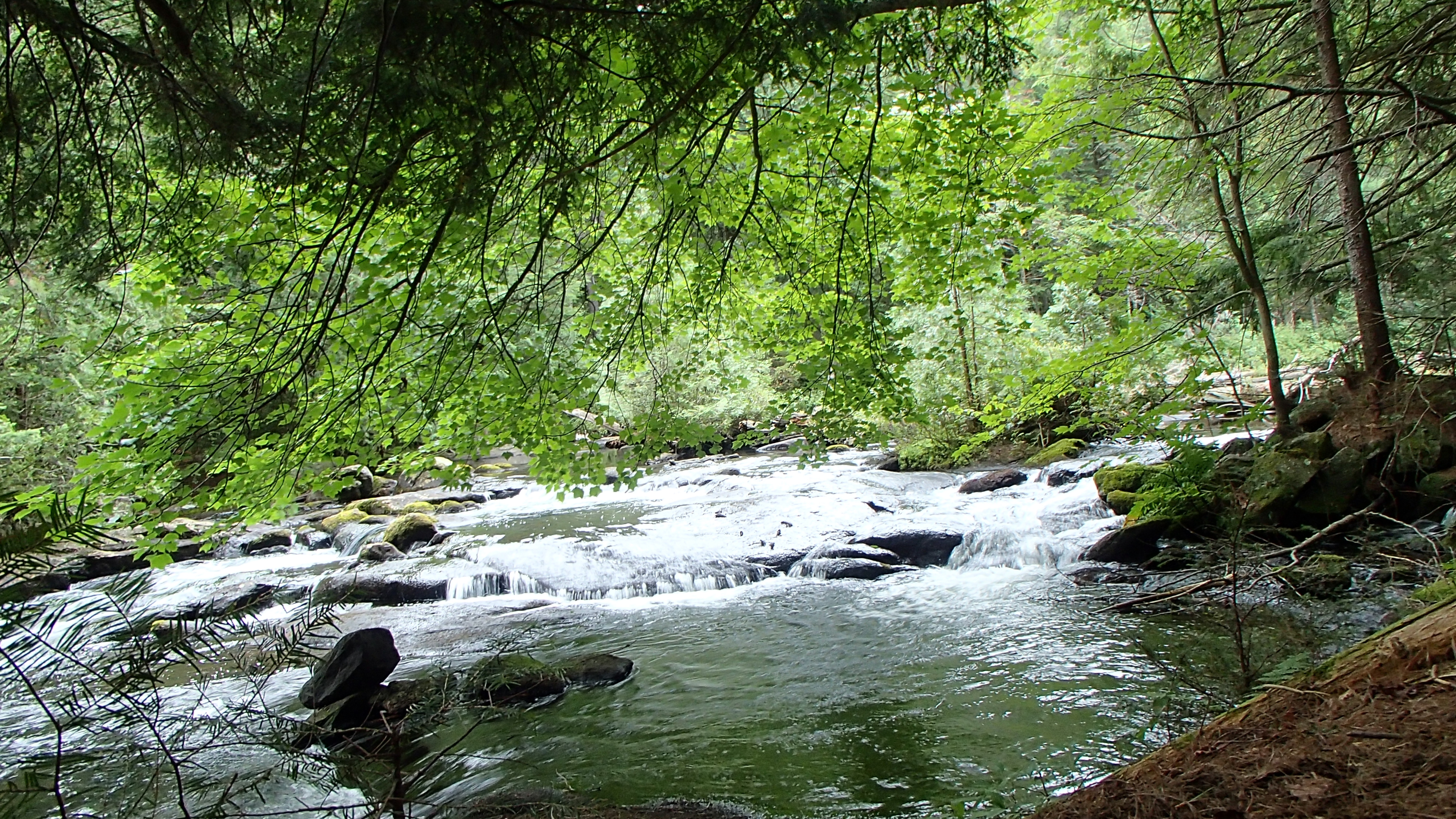
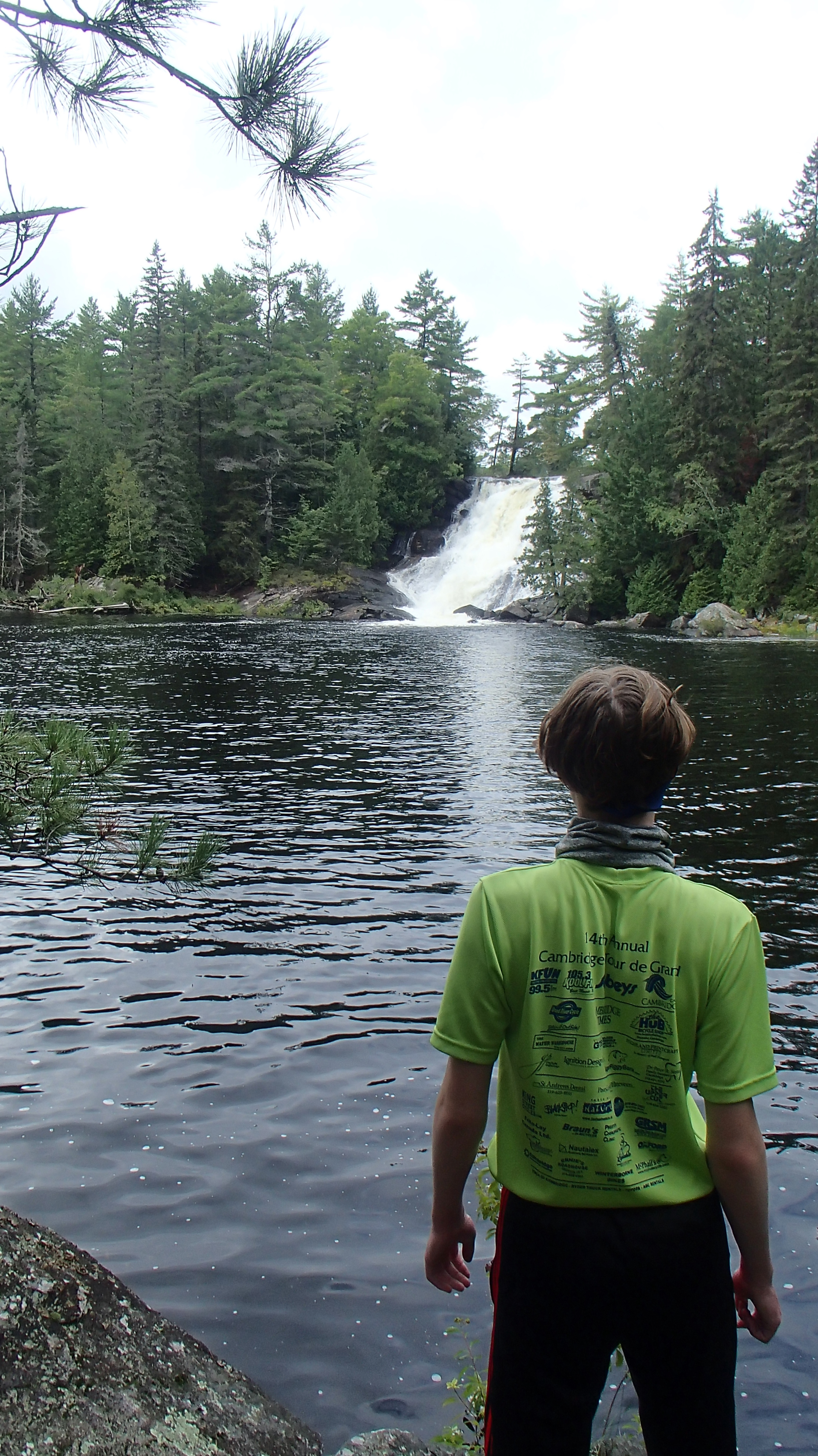
All continued to be quiet while we moved past a number of occupied sites still sleeping off the previous night's light show, presumably. We walked a soggy side trail at the end of the High Falls portage to spy "High Falls". It was roaring with the previous evening's rainfall!
The area affected by a recent forest fire had a spooky feel, but was showing signs of new life. We hopped on over to Ooze lake, and then Opalescent, the only spot that had availability in the area when were booking our trip. It's a small lake we probably do not need to purposefully return to. The most attractive looking site had a tent on it (but no canoe?), so we pushed further down the lake to an OK site with a magnificent swimming area. We swam, we ate, we dried our tent and travel clothes. We ate some more and sat out in the sun while talking through what we had experienced the past few days. We laid out to enjoy a last night under the stars for a good long while, and then headed to the tent for our last night.
Day 10 (Tuesday) Opalescent to Squirrel Rapids Access Point
We were up and packing up "at first light", and we were on our way. After nine nights on the ground (did I mention my sleeping pad failed around night 4?) and over 40km of portaging I was ready for a mattress. The good looking site still did not have a canoe on it, which seemed odd. The portages were all transformed into streams or ponds that we waded through to make our way to the canyon. We managed to skip the 100m portage, but carried over the rest.
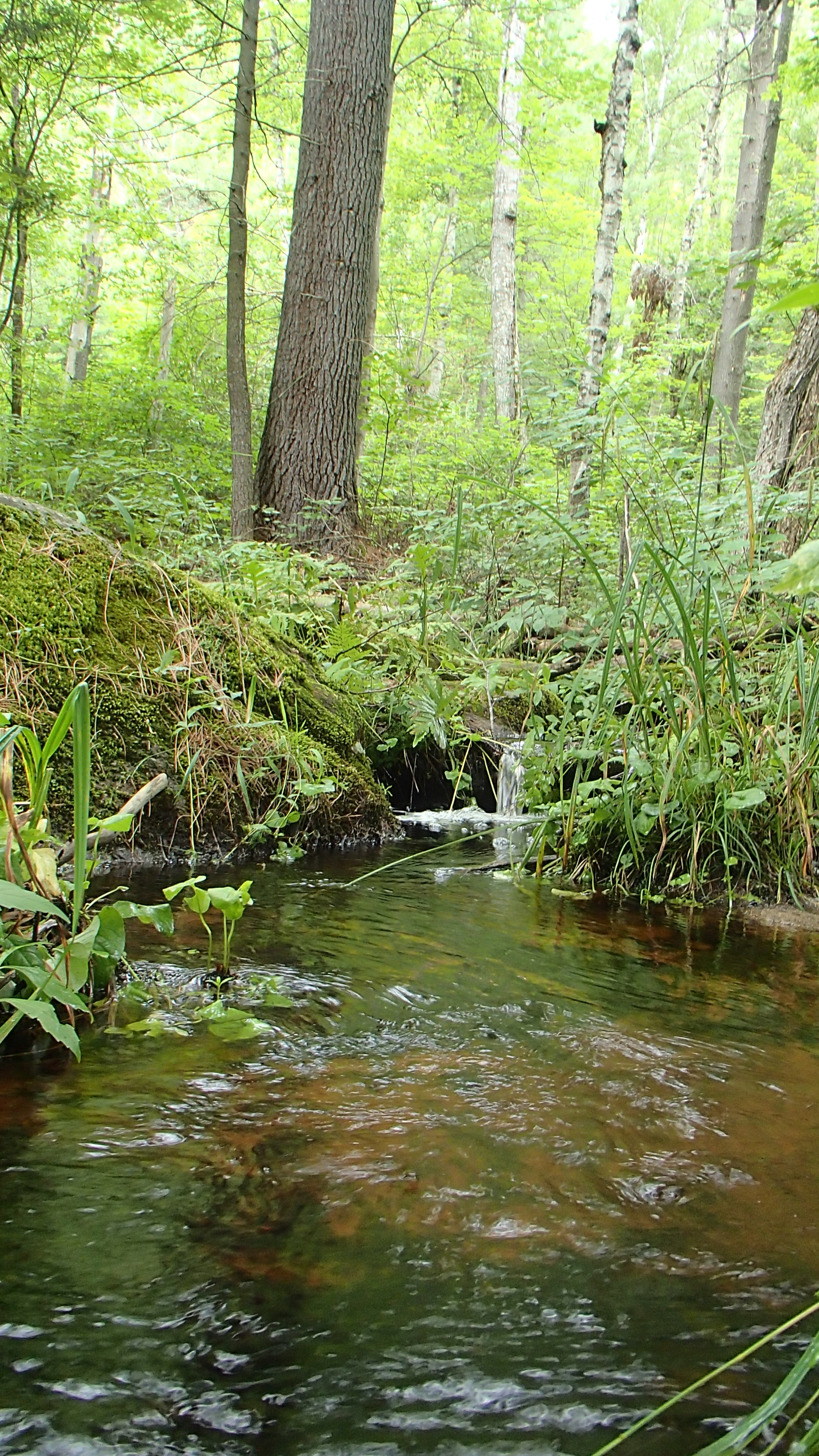
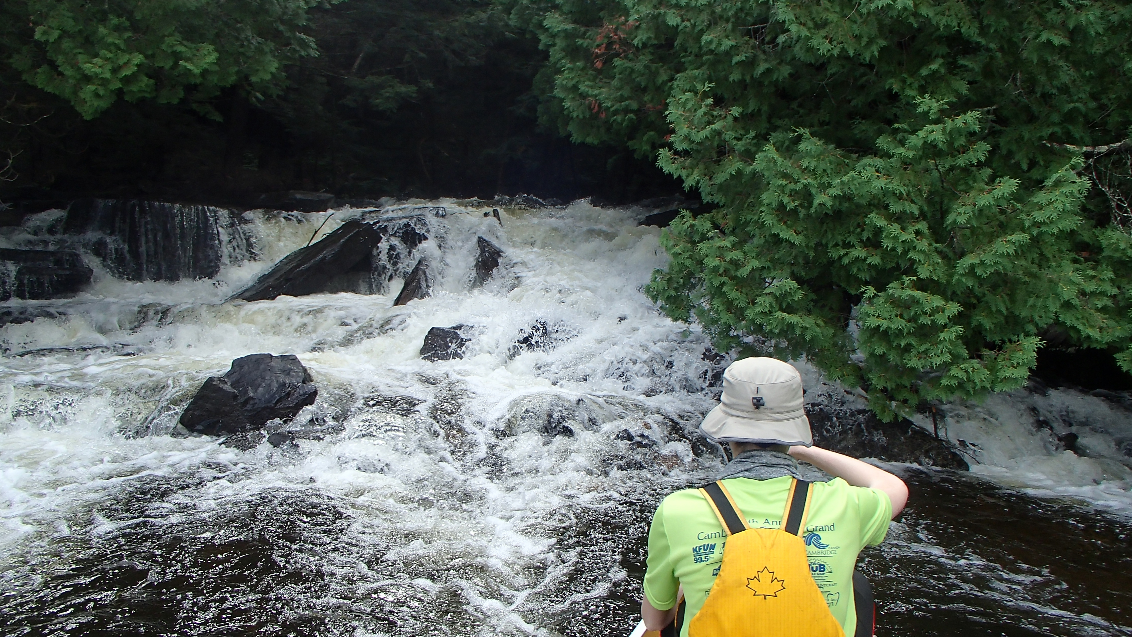
We reached the canyon early in the morning and explored the cliffs and streams, really taking our time to enjoy the spectacle. From there we efficiently paddled and portaged our way to the Squirrel Rapids access point, proud of our accomplishment.