2018 - Late Summer
We were nearly settled on a route in the north west corner for our 2018 trip before Joshua came up with a plan for 'central' Algonquin that took us through Dickson Lake. We have never visited this area of the park and wondered if algae might become a more widespread problem, so we decided to route a trip through the area while it was still mostly open to visitors. Our plan was to start at the Opeongo access point, paddle the length of the lake and make our way to Happy Isle for the first night. We would then move through Big Trout, Hogan, Big Crow, Lavieille, Round Island, Booth, and back to Opeongo by way of the Opeongo River.
Day 1 (Sunday): Paddling Opeongo
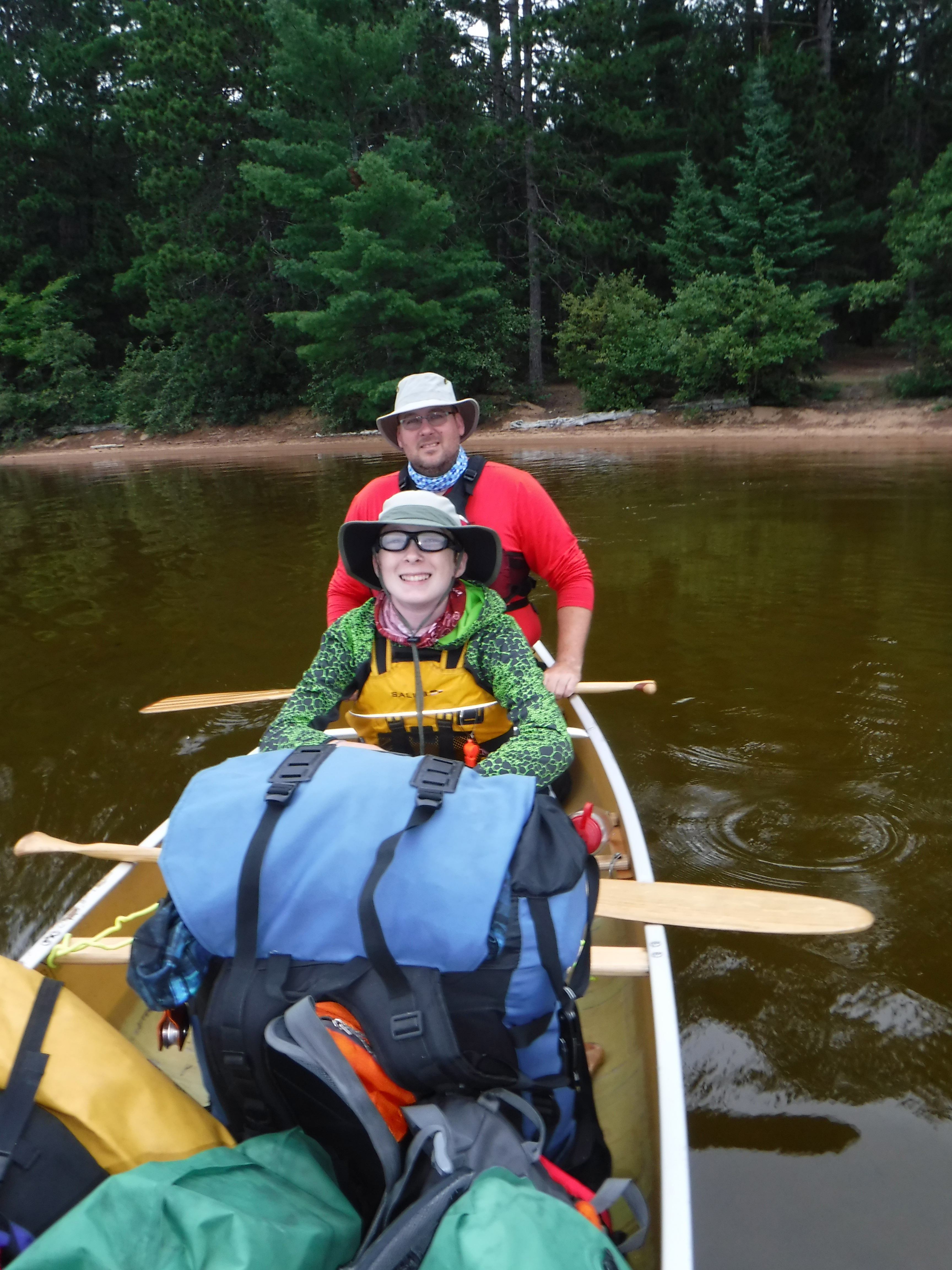
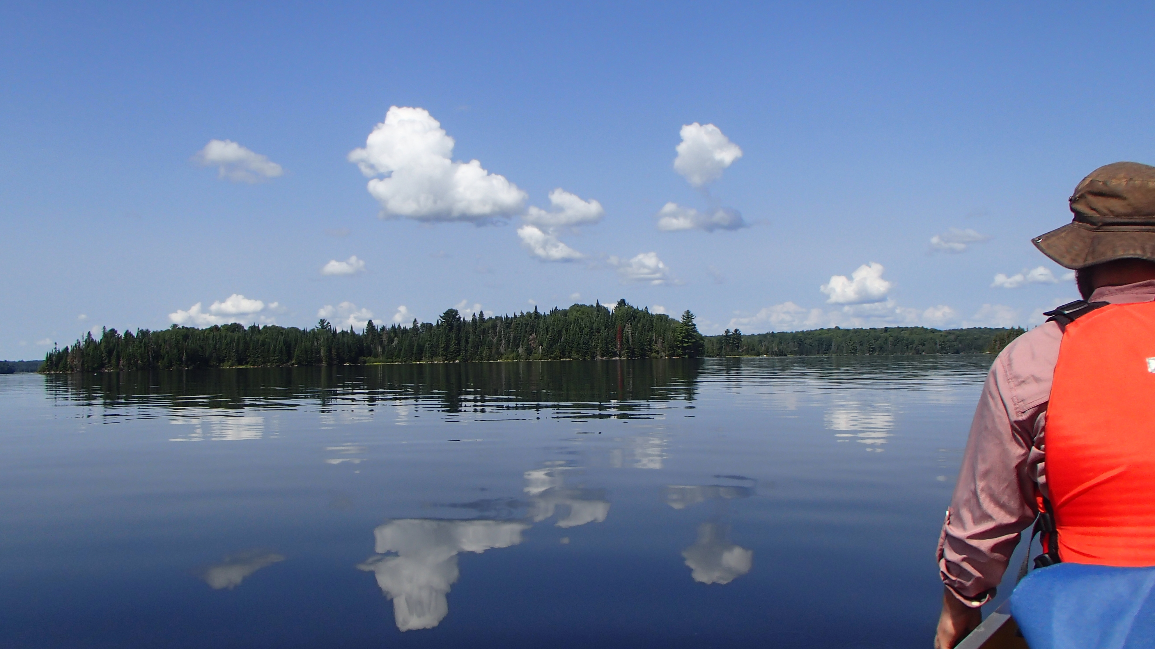
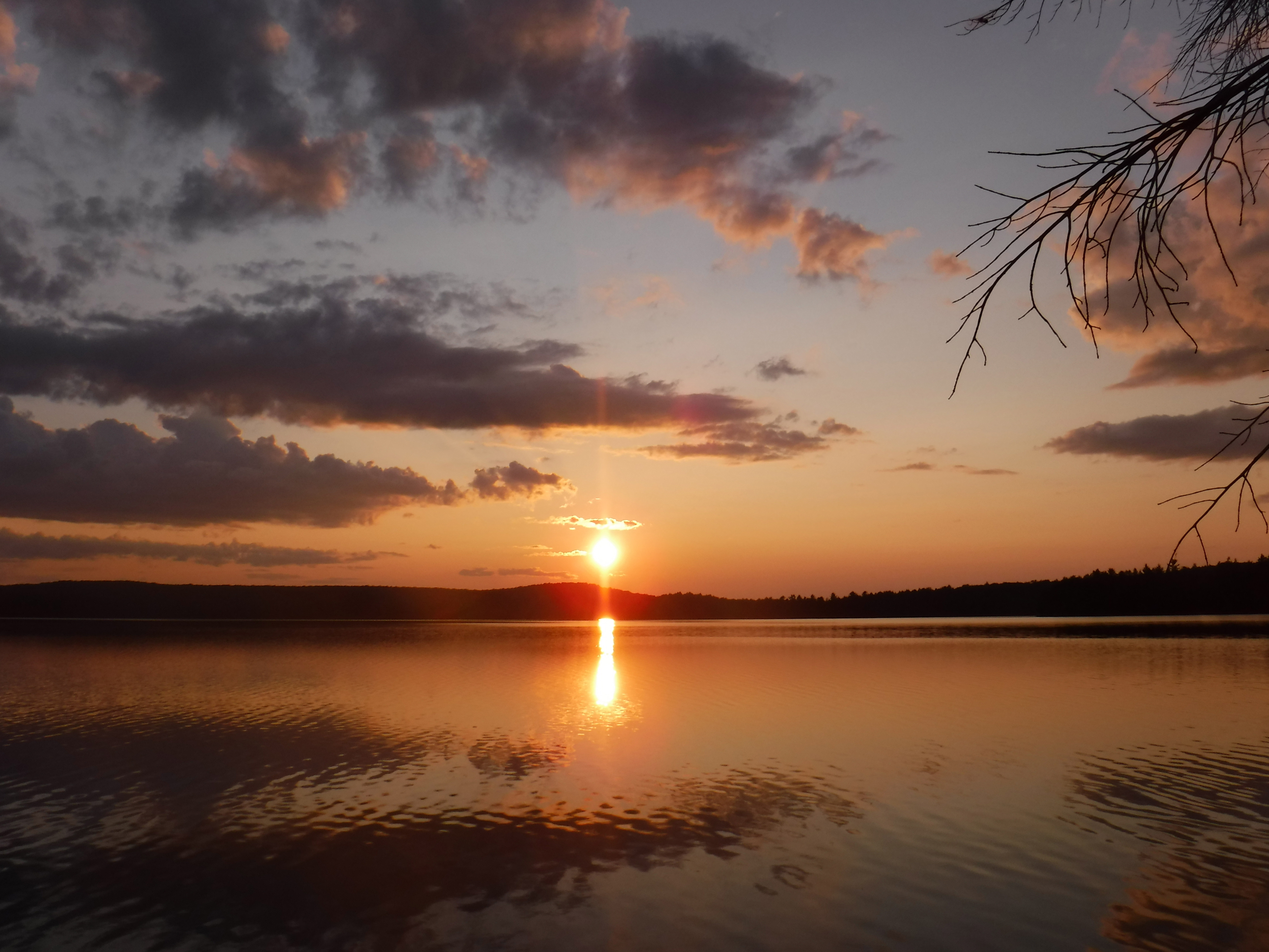
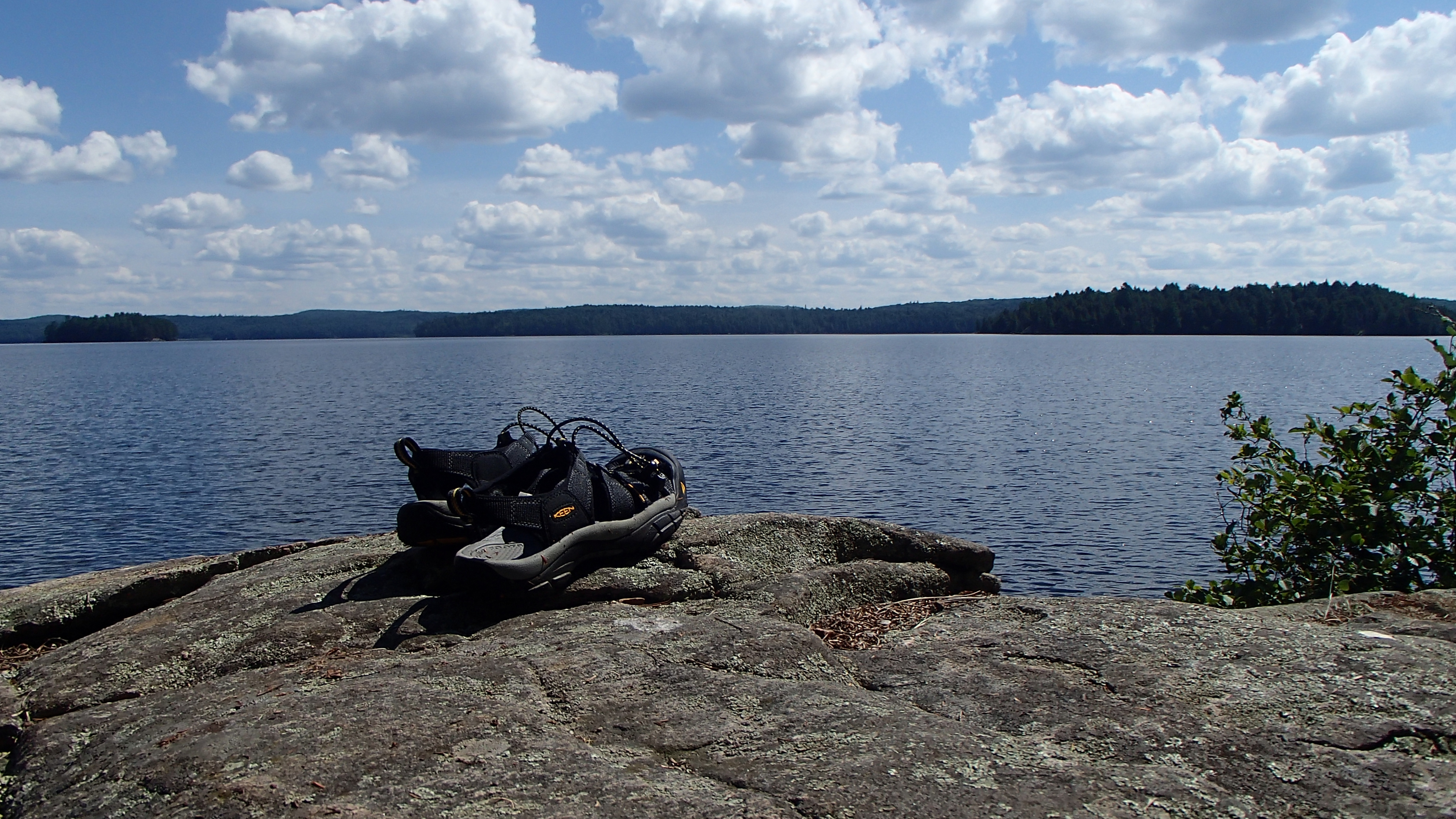
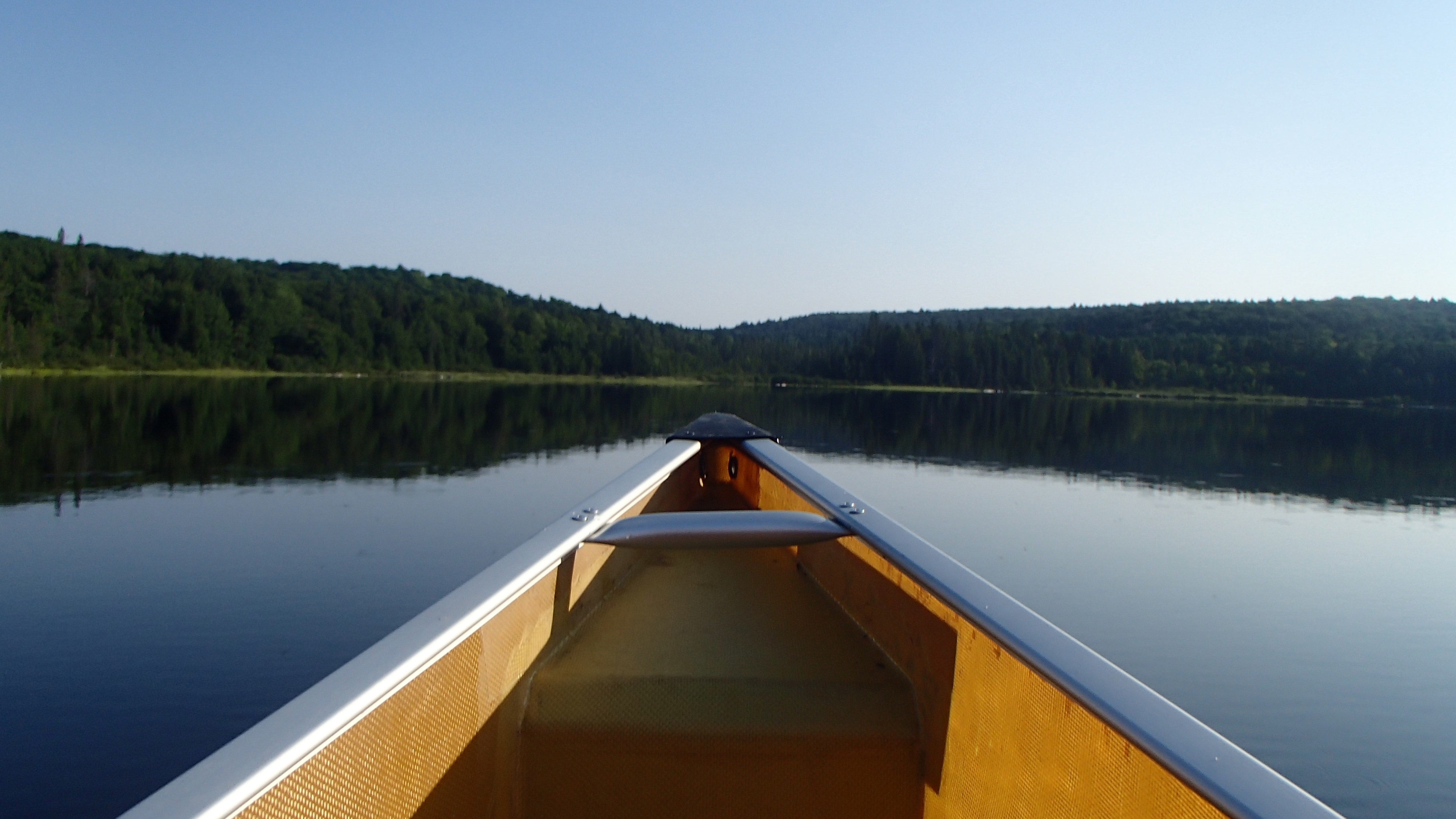
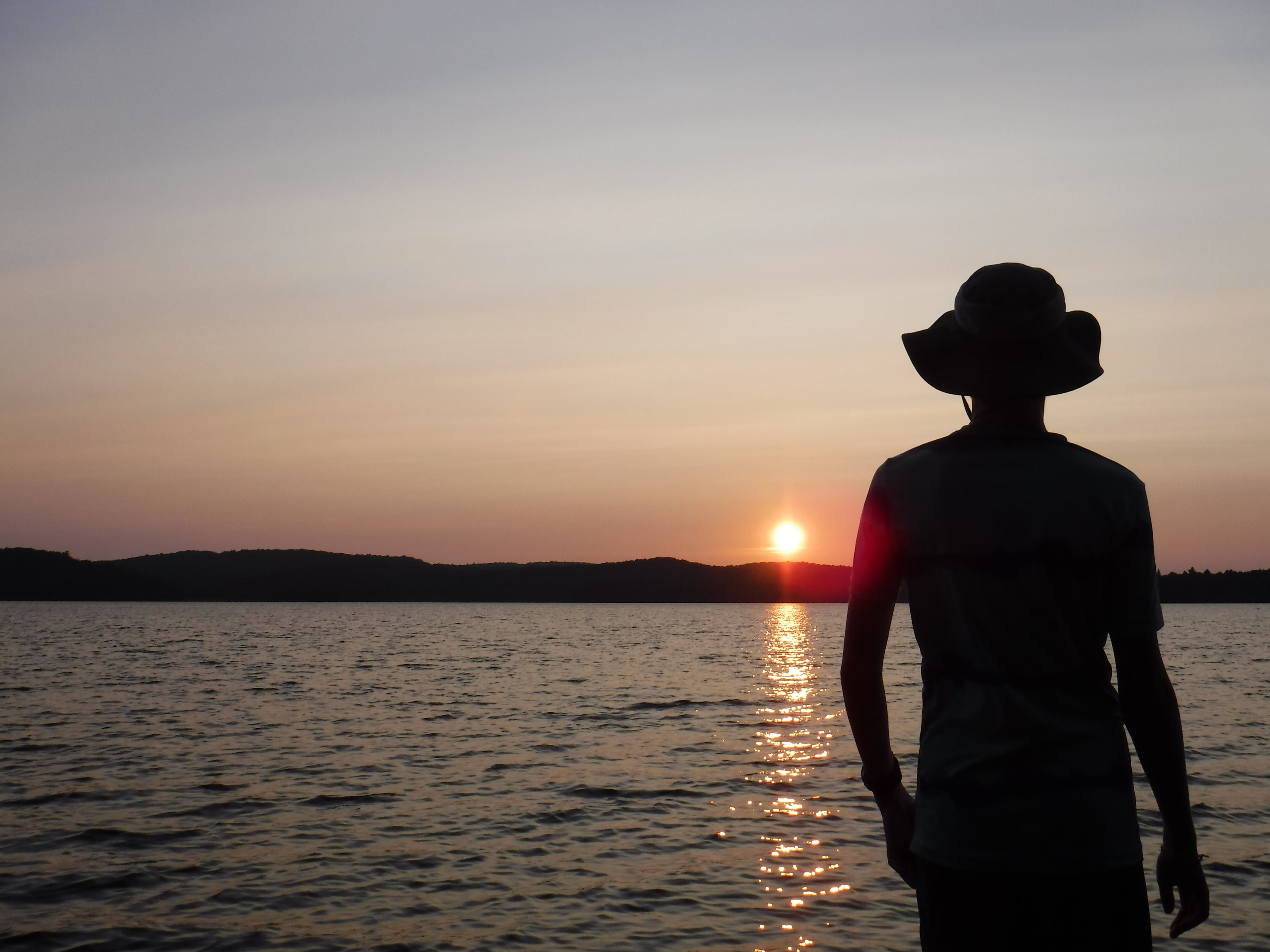
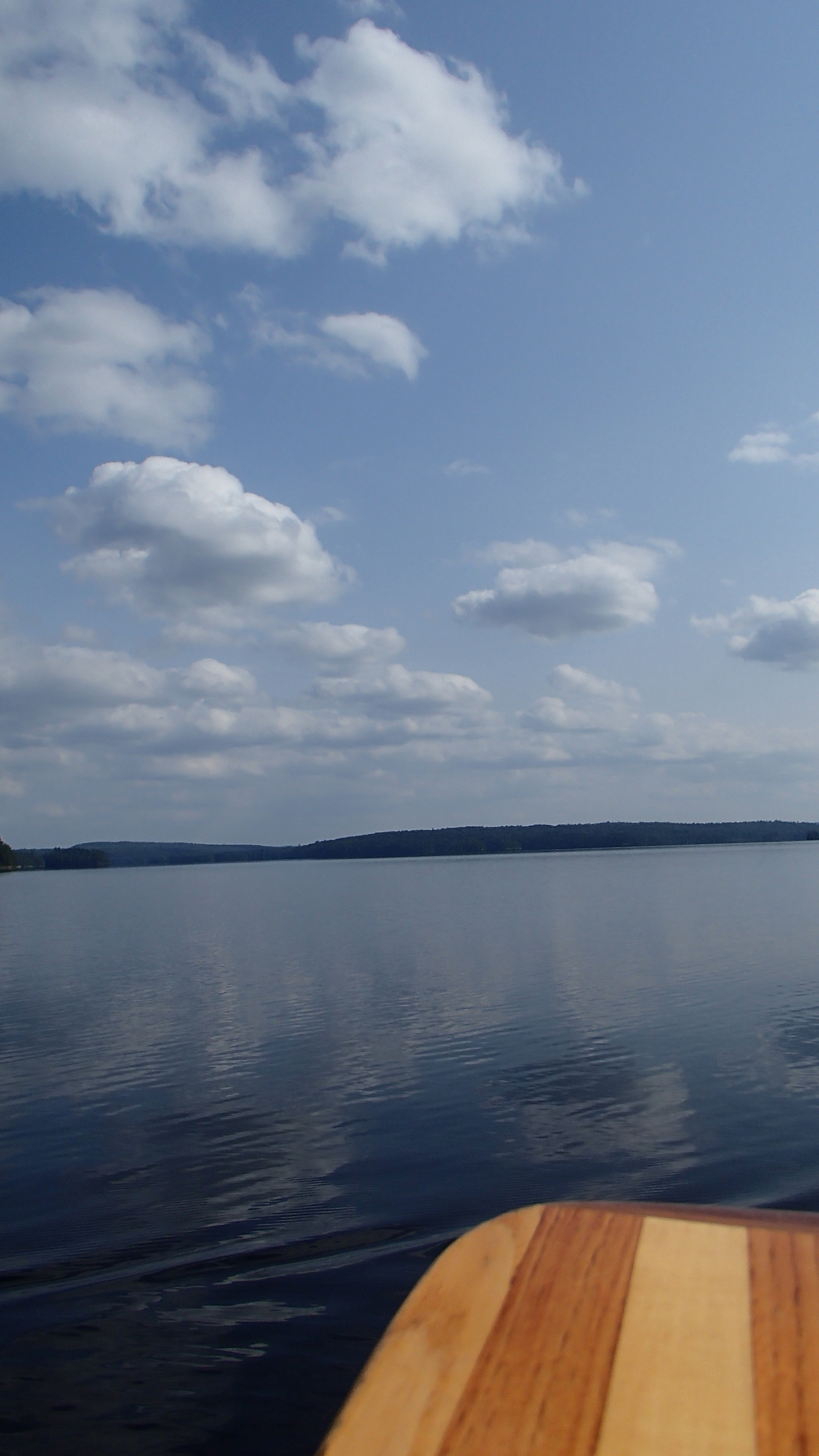
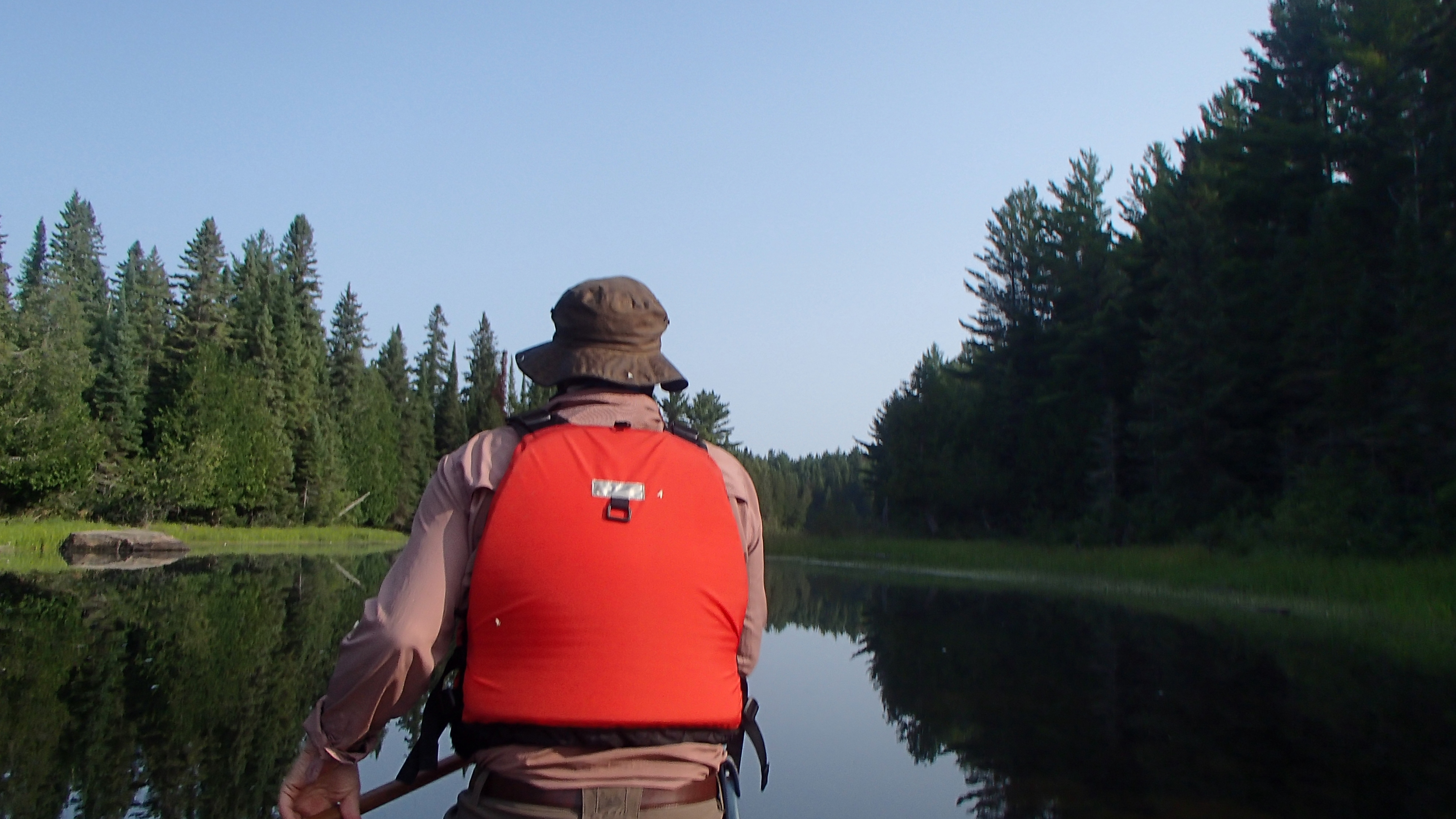
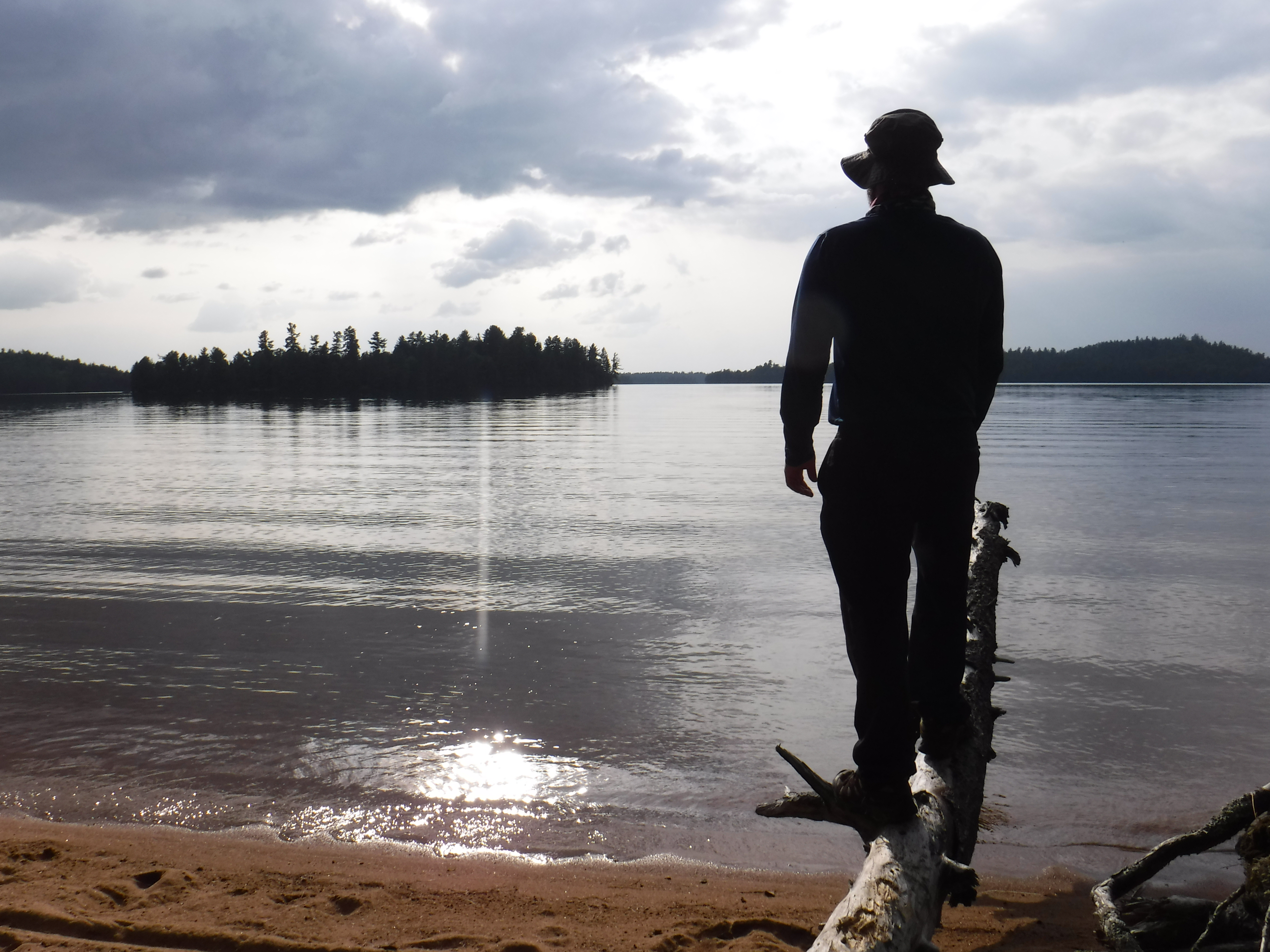
We were prepared to face some fairly rough conditions before resorting to a water taxi to make our way up Opeongo. We look forward to this trip all year, and didn't want to think about spending the first leg in a powered watercraft. As winter faded into spring, wave-height-before-considering-taxi grew to unfathomable levels. However, none of that mattered since Opeongo was as smooth as glass for us when we arrived at the access point. Sure, the heat was oppressive. The paddle up Opeongo marked the first time any of us had taken our life jacket off while in the canoe for any amount of time, it was just so hot. We soaked up every minute of it.
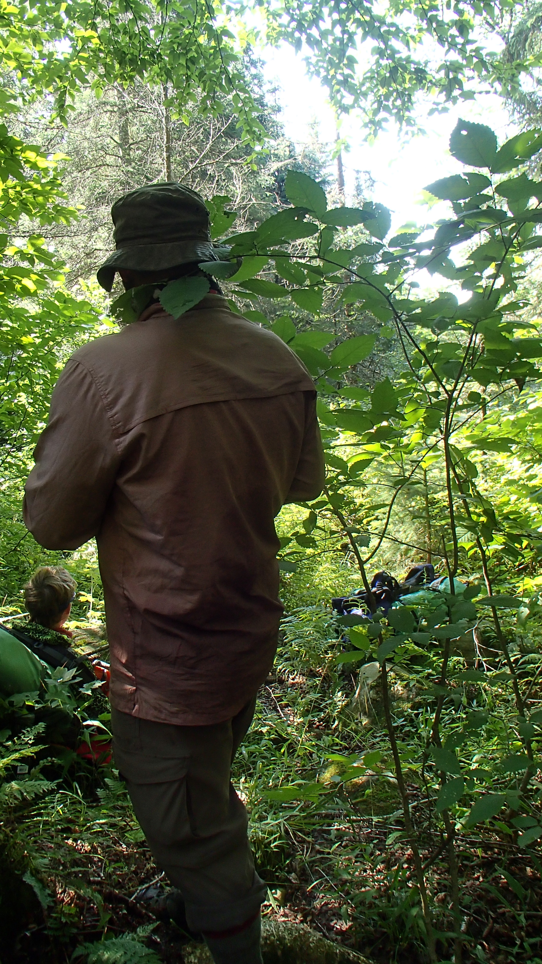
As we made our way up the lake James had to make a few corrections to our course. It seems I had us heading into the east arm, serving as our yearly reminder on why we typically don’t allow me to hold the map. Just before entering the correct arm we came across a seagull with a lure in its wing and neck, tangled with fishing line. We couldn’t get close to help, and honestly, we wouldn’t have known what to do had we been able to get closer. It was sad to watch...
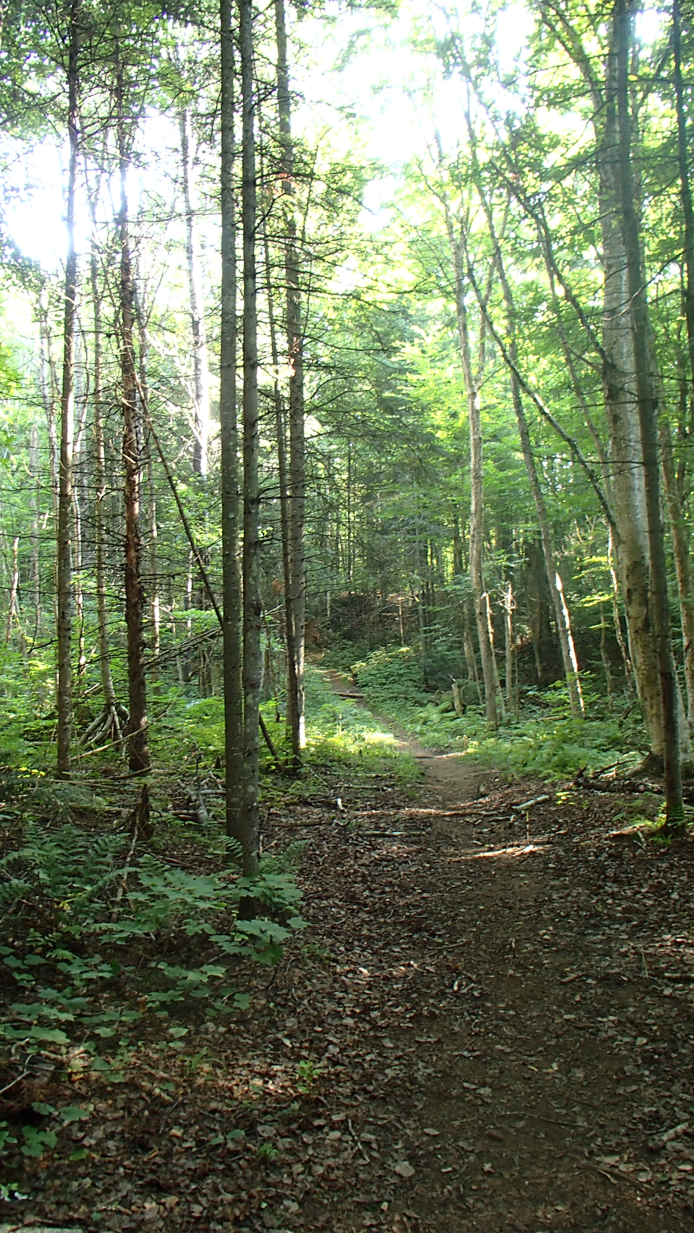
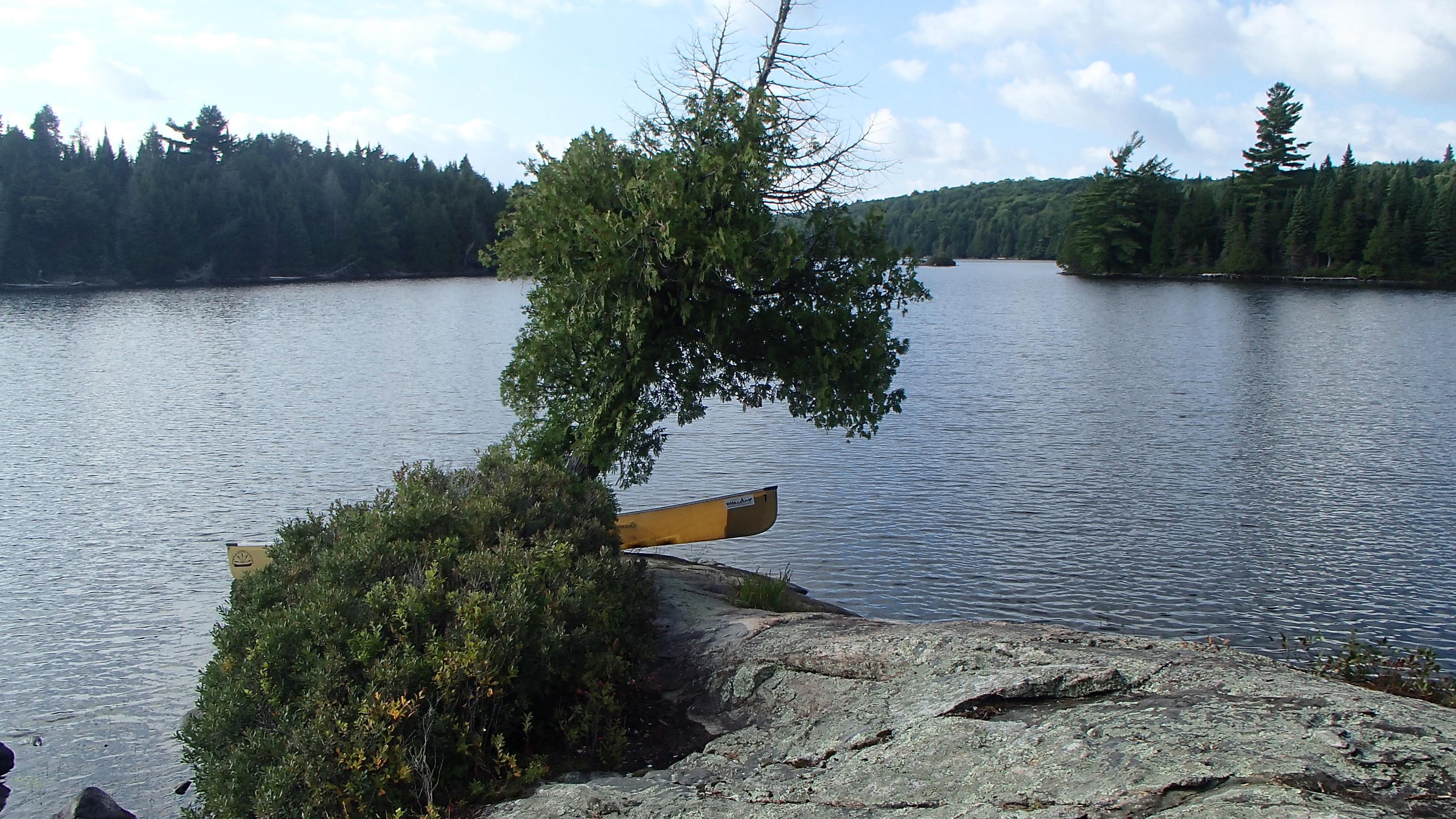
The paddle up Opeongo is a long trek. Once we reached the Happy Isle portage we sat on the dock for a little while, soaked up the sun and the views, and allowed our legs to wake up after kneeling on them for several hours. We powered through the paddle and were proud of our progress, but a break at a campsite or two along the way would have been prudent. Our first attempt at the portage didn't last long, perhaps ten meters or so. James had a new pack this year, and the waist buckle failed almost immediately. We would tie his waist strap every portage, and after every break from here on in.
About half way through we reached a flooded section of the portage that we “paddled” across, having some fun by comparing its length with Opeongo. The end of the portage was level and sandy, and the lake was calm. We cooled off in the water, ate a few snacks, and enjoyed the scenery for a bit before heading off to find our campsite for the night.
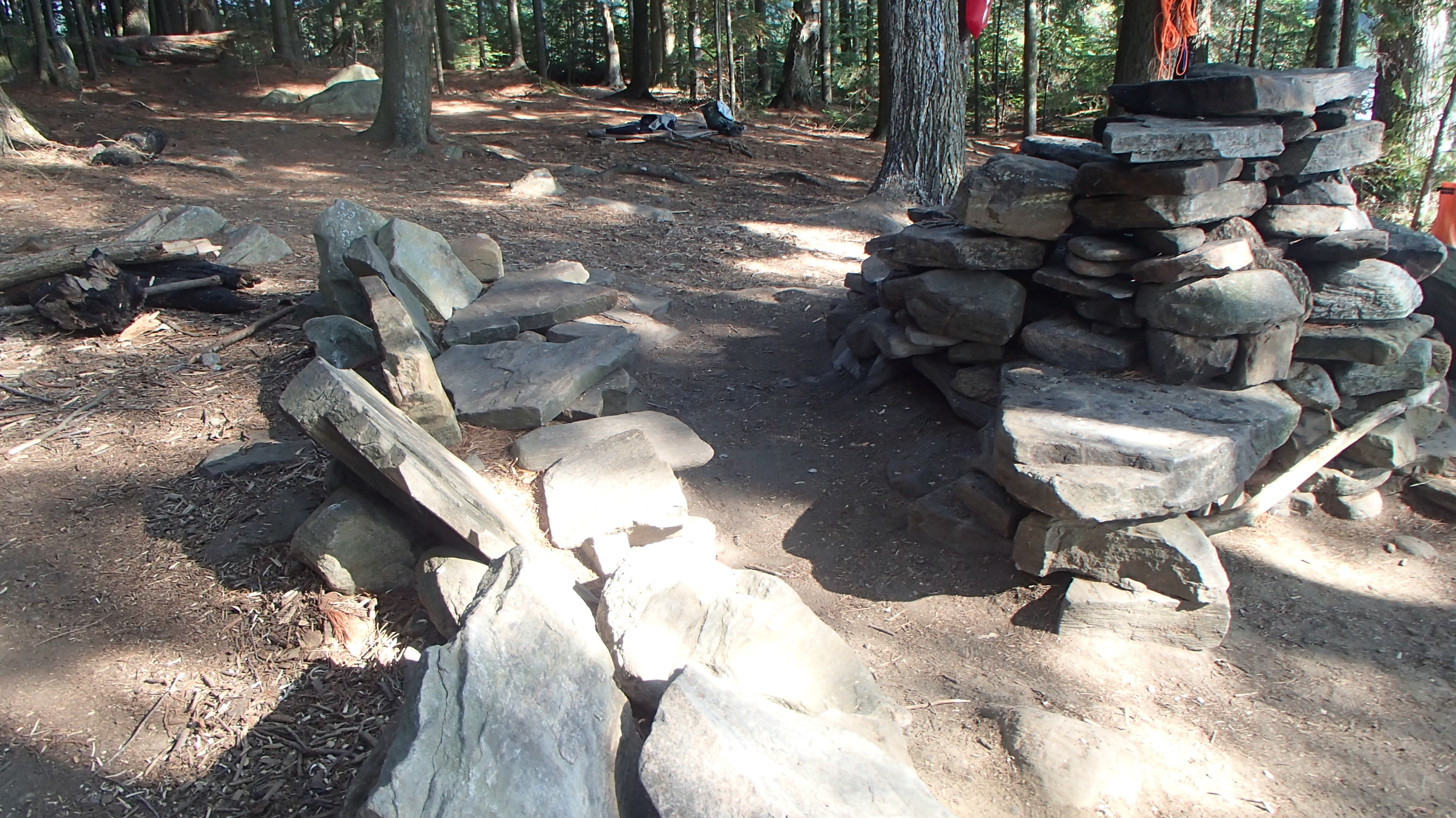
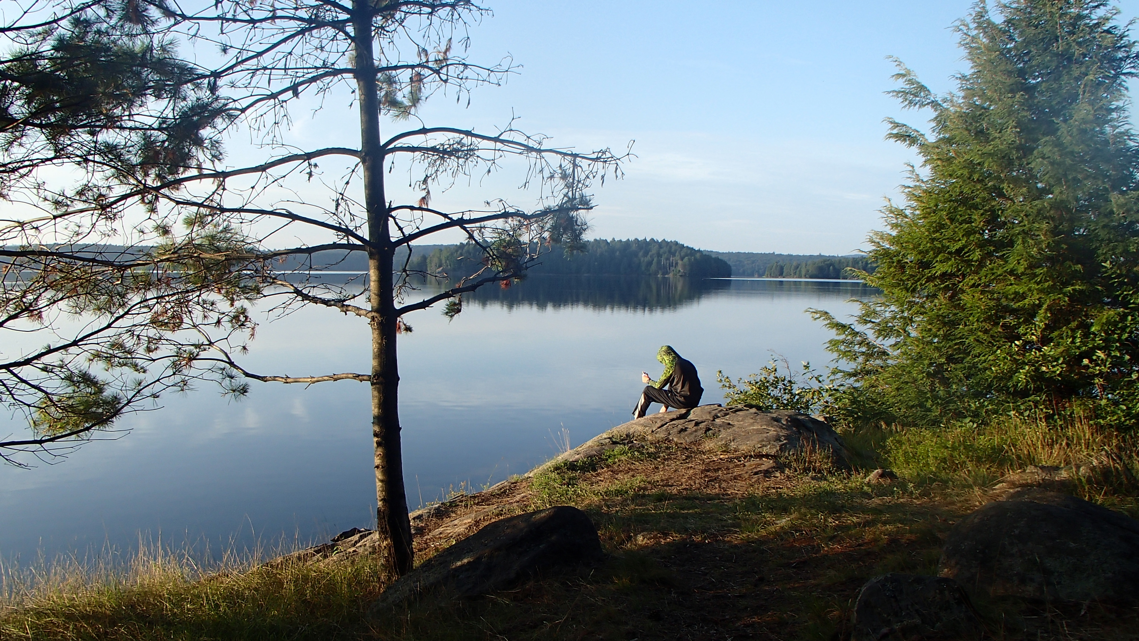
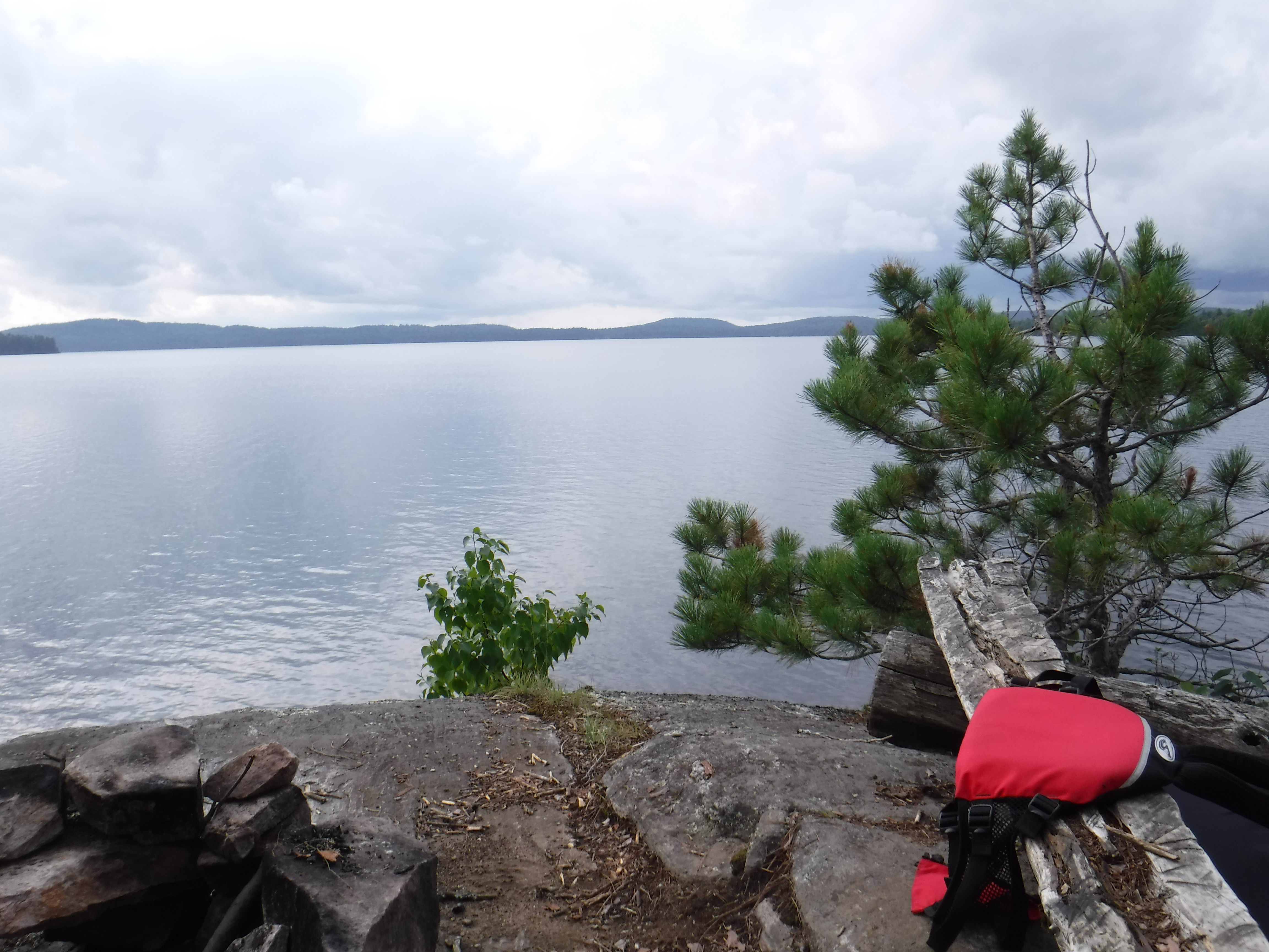
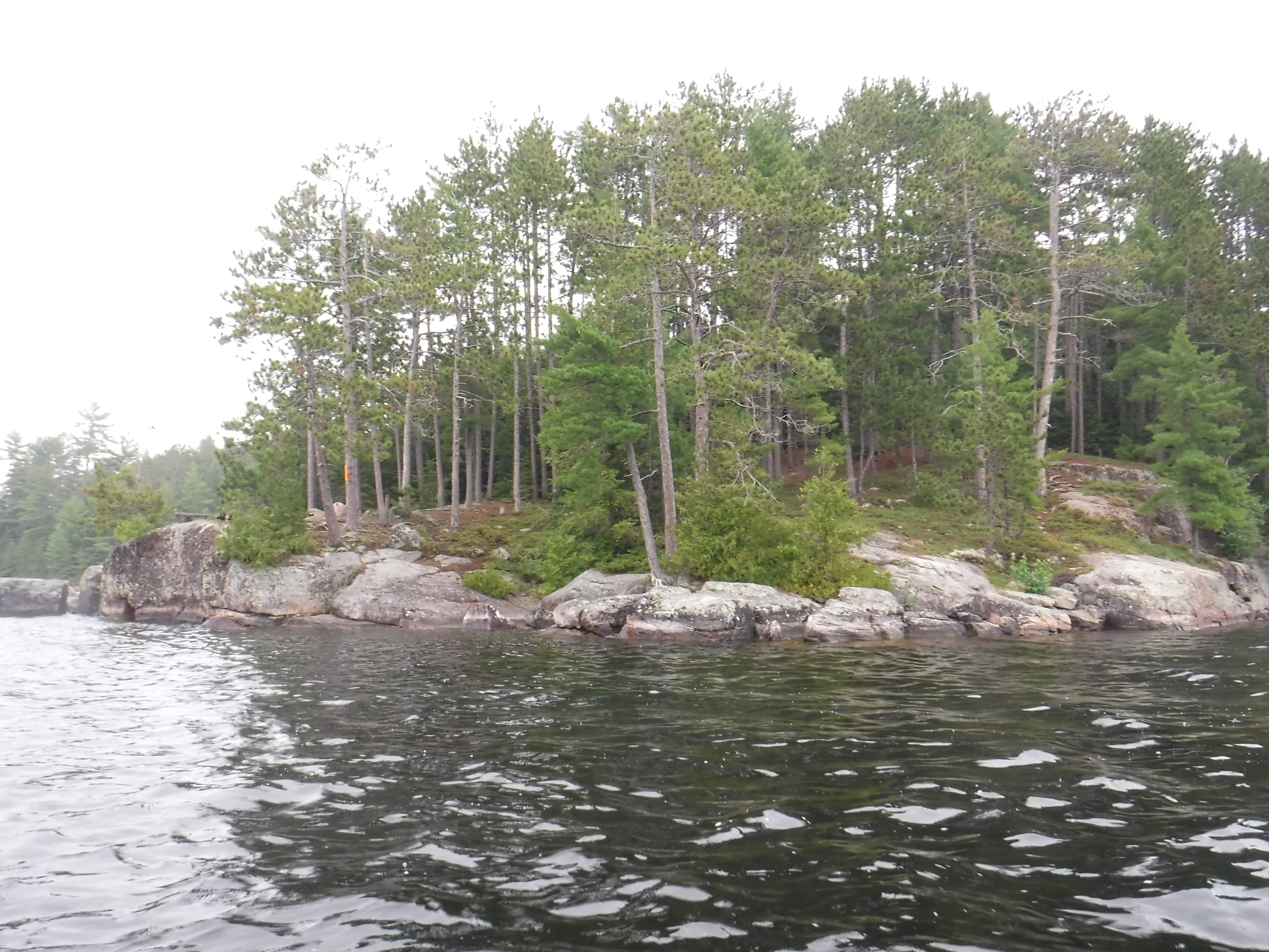
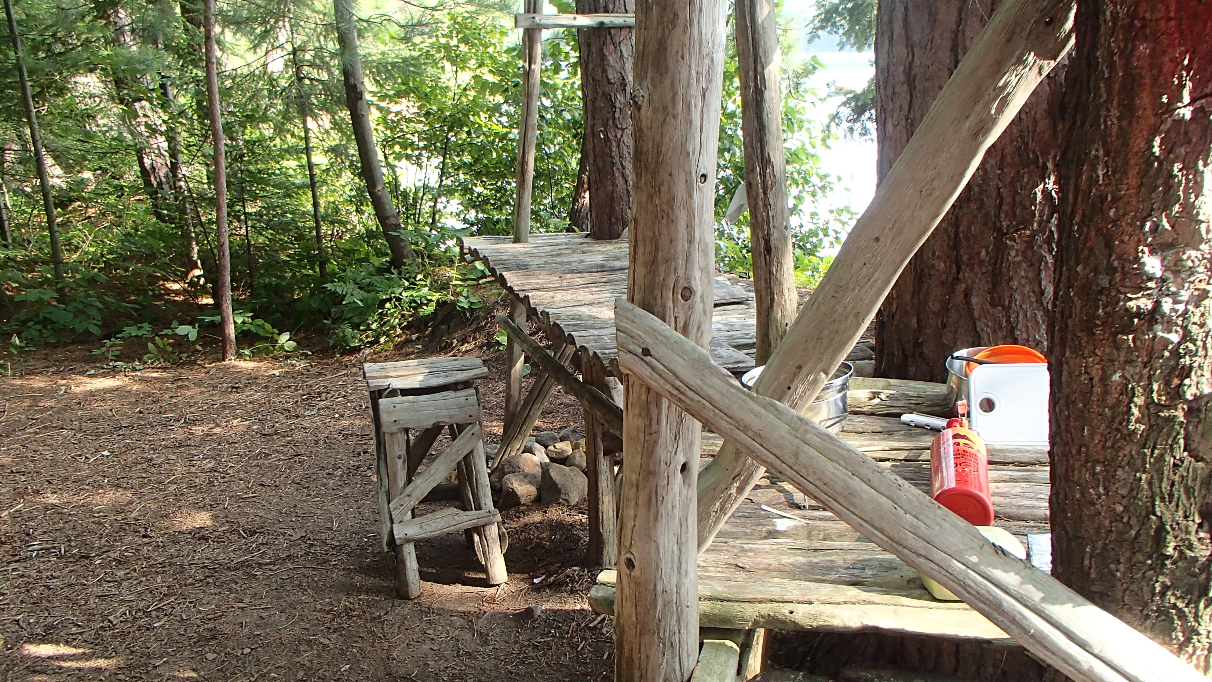
We paddled the north-east shore passing on all the sites that weren't occupied until reaching one on north east side of the island (PCI #13). The fire pit was quite something, along with stadium seating constructed of rock. We spent some time organizing our gear, swimming, relaxing, and discussing the days head. Dinner was tenderloin, roasted zucchini, mashed potatoes and gravy. It tasted devine.
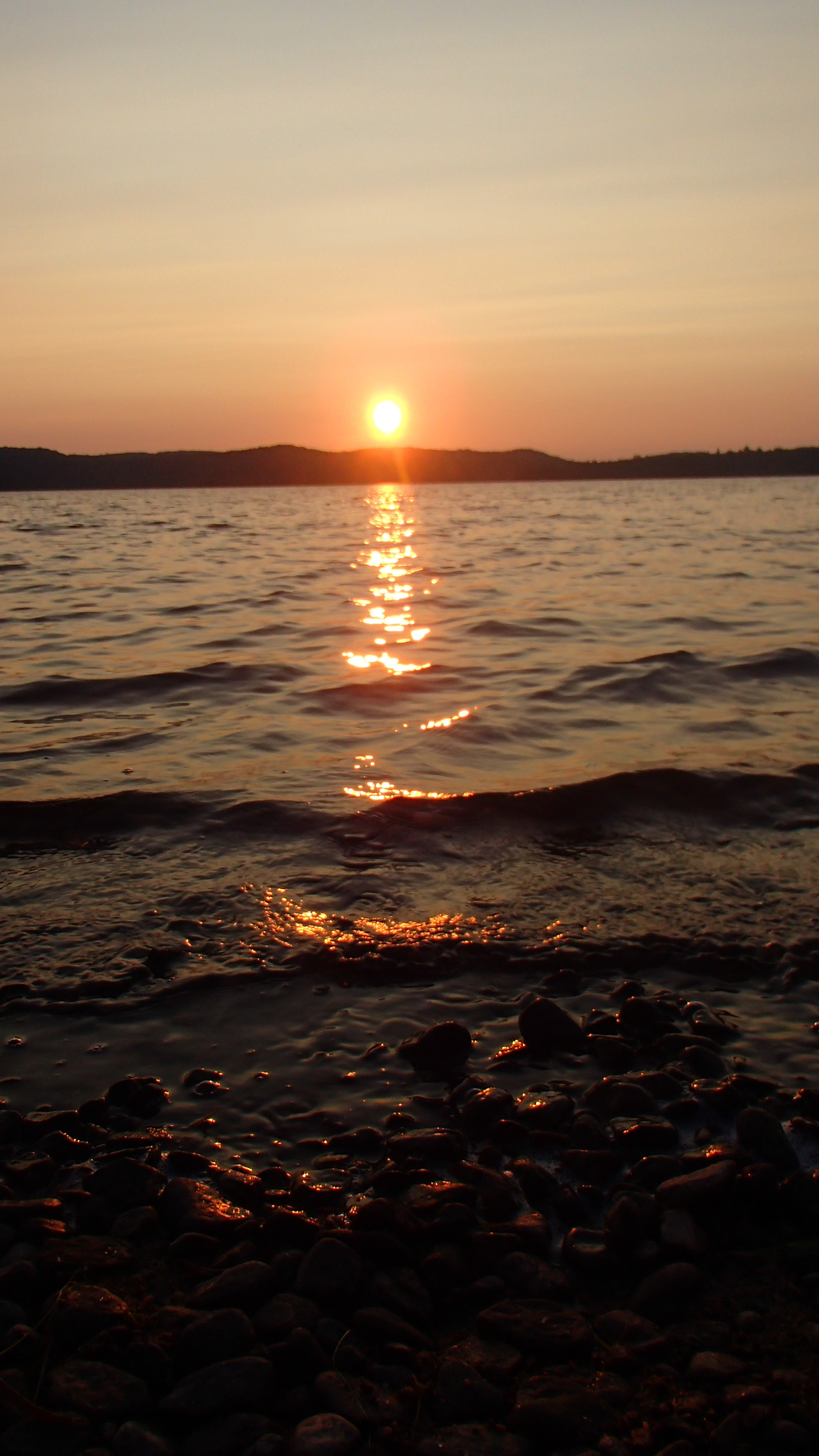
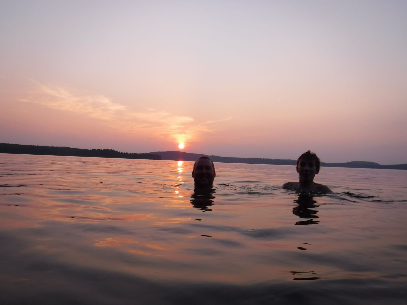
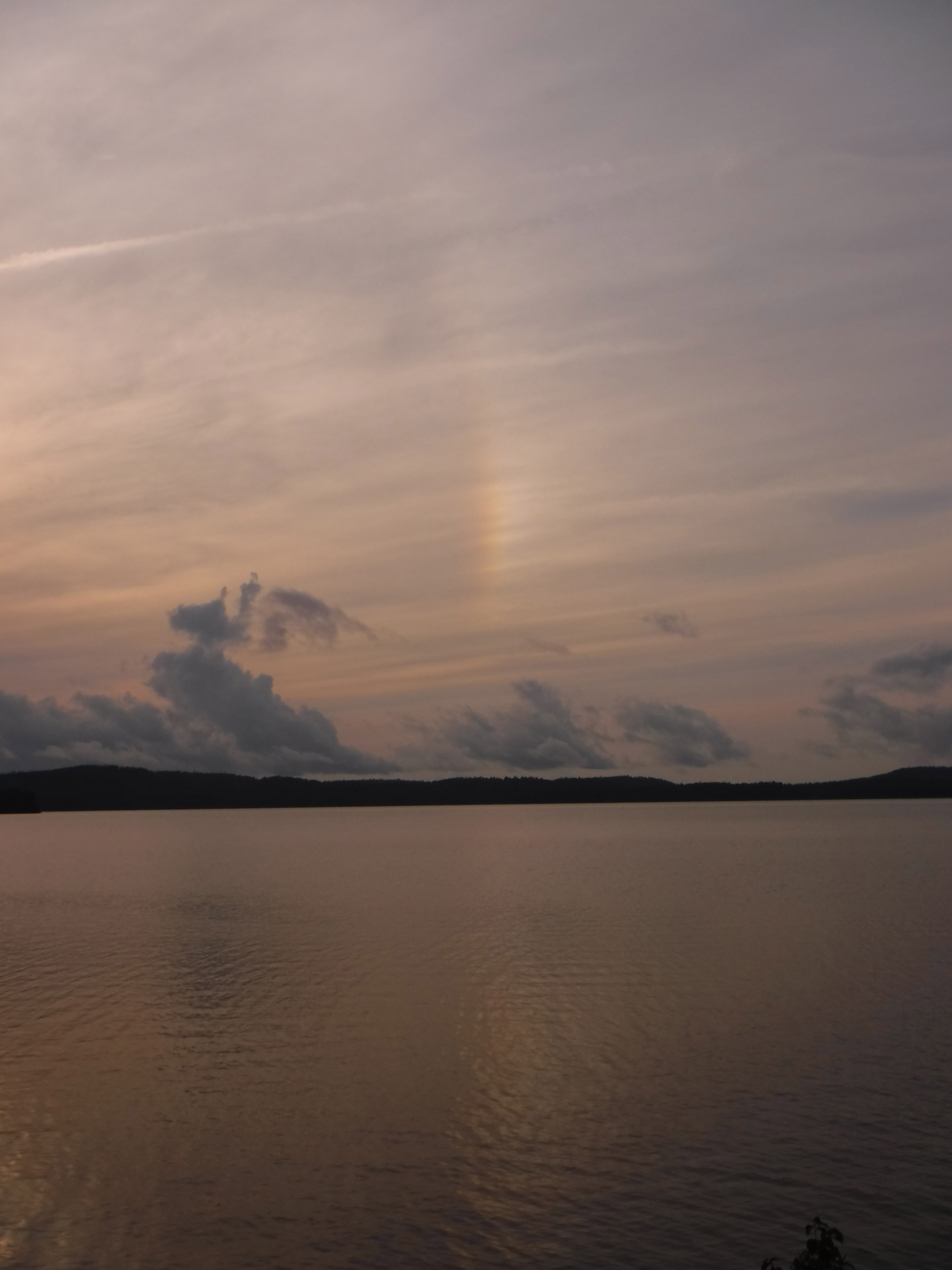
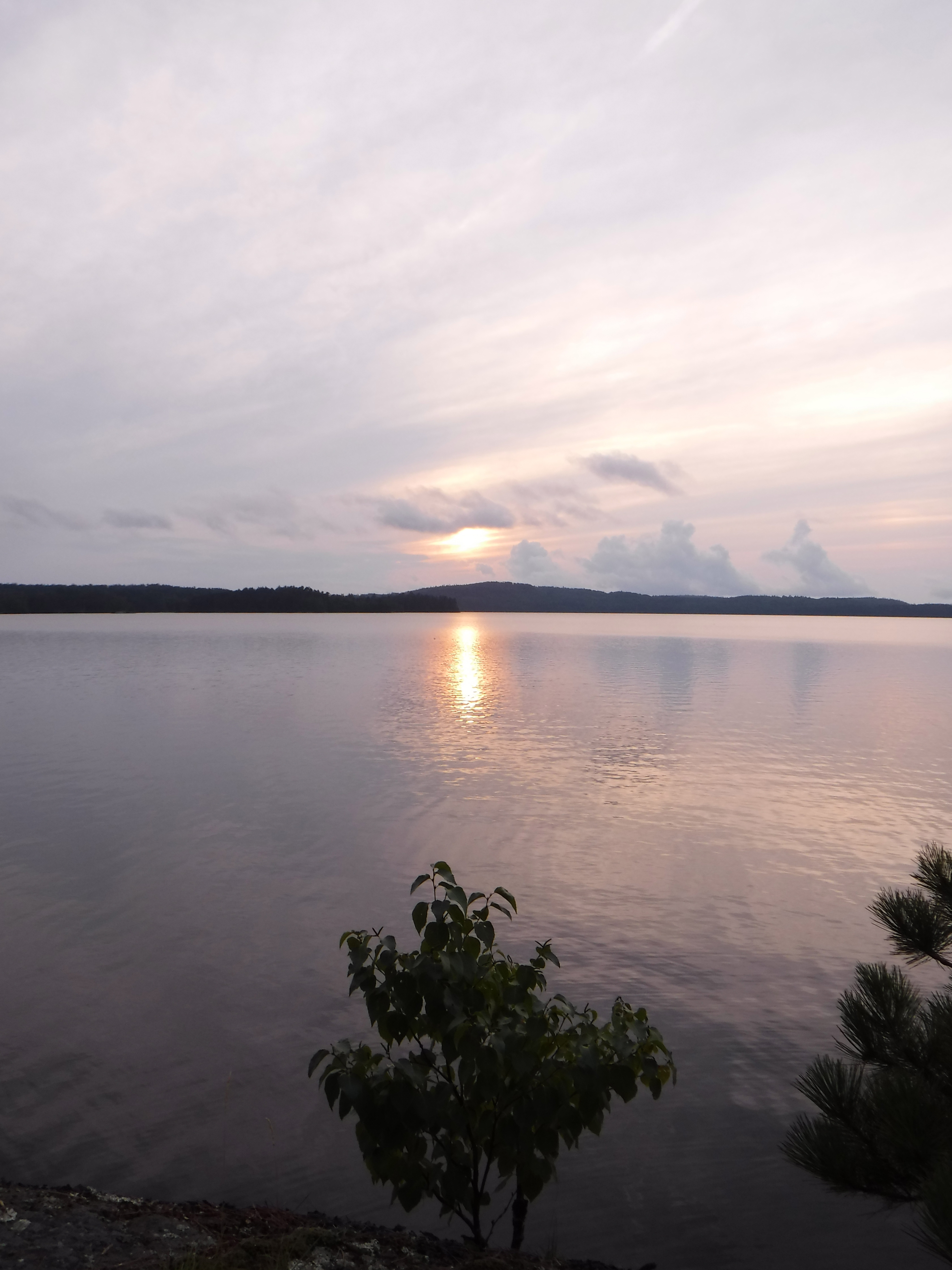
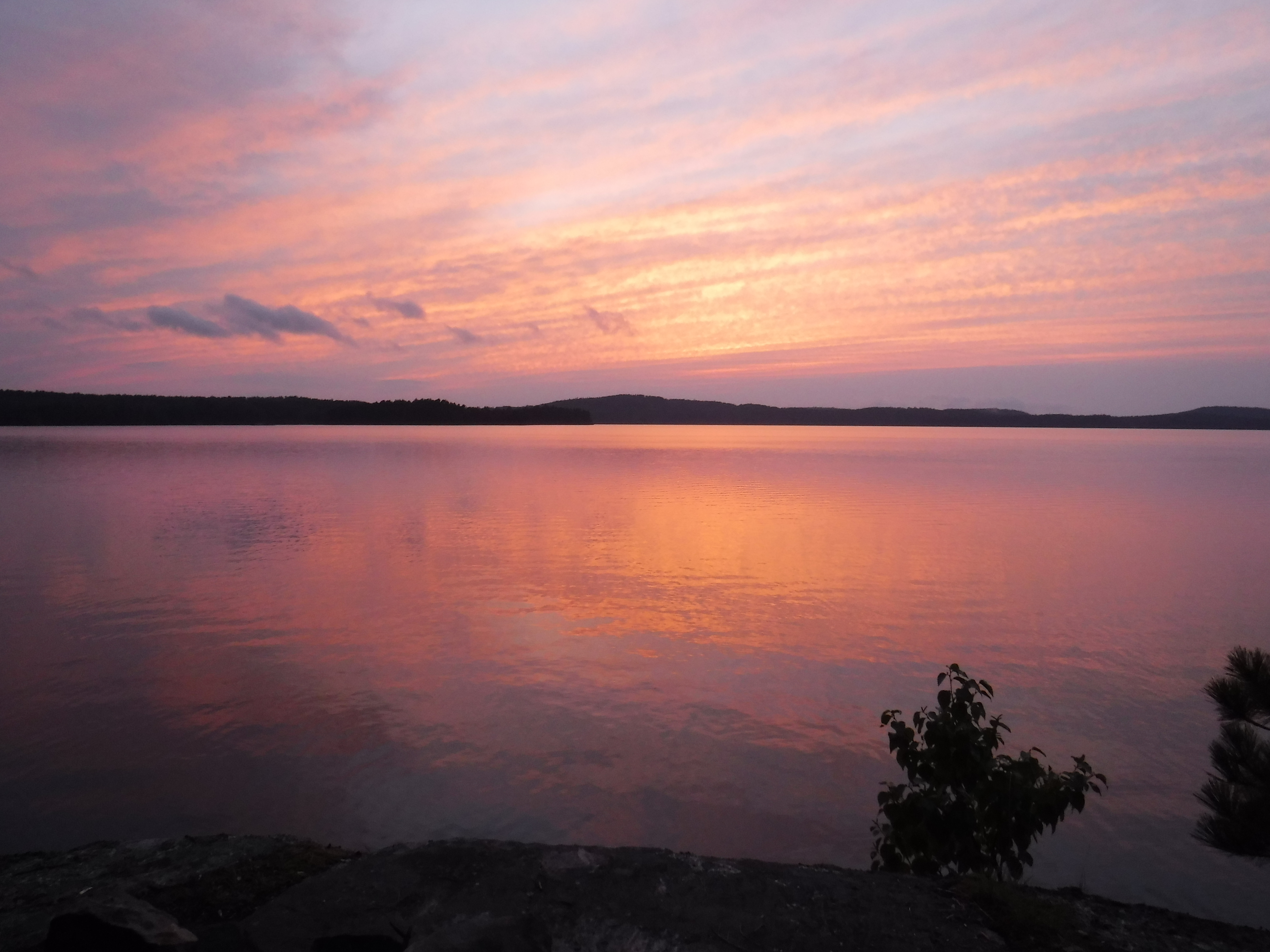
We sat on a log along the shore watching the sunset, then decided to attempt a first-for-us experience of foregoing our tent in favour of a tarp spread out on the ground, so we could watch the stars during the height of the persied meteor shower. We struggled to stay awake as the sky darkened, so our strategy was to drink lots of water to ensure we would have to wake up in the night. I cannot speak for the others, but the strategy worked for me. With the new moon, it was a fantastic show for the short while I managed to witness it!
Another gear failure occurred during the night: Josh’s sleeping pad would not stay inflated. Thankfully we were on decent ground the first night, and we bribed James with our portions of the sweet snacks to reliquish his sleeping pad to Josh for most nights going forward. I remember and miss my younger years when I could sleep on just about any ground with no ill effects.
Day 2 (Monday): Big Trout
Packing up was a bit easier, since we didn't have to break down a tent. Breakfast was also easy, just some breakfast bars and trail mix before we were on our way. Once we were on the water we spied a larger group that looked to be heading towards Otter Slide Lake as we paddled the opposite way, towards the Merchant Lake portage. The wind and lakes continued to be calm, and the morning mist was just beginning to burn off. We were onto the second day, and had yet to see a ripple on the water.
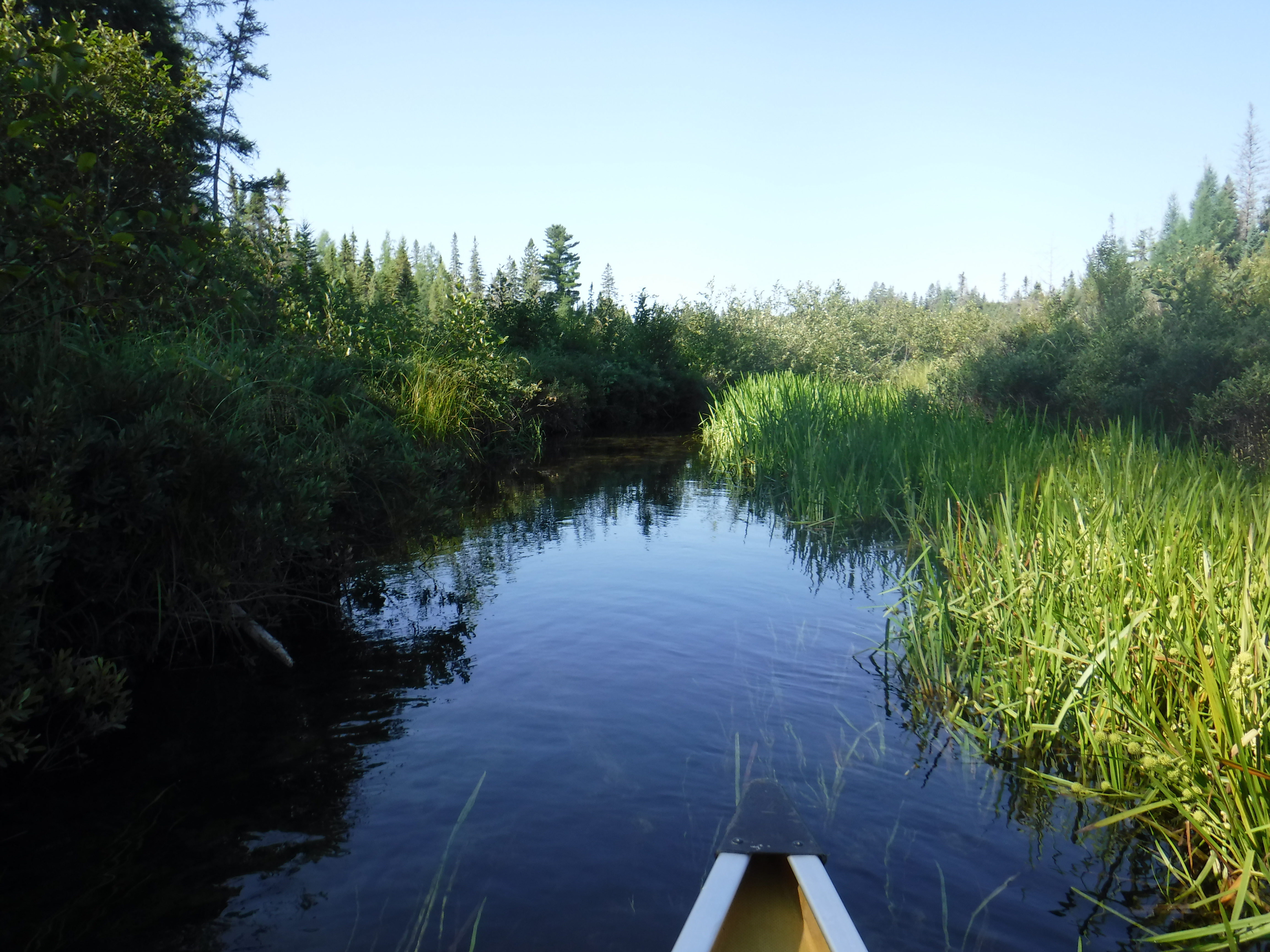
Once on Merchant we followed the western shore. The smell of bacon emanated from a site that looked to have a youth group on it. Our breakfast felt more than a little lack luster once we caught the smell of that! The portage from Happy Isle to Merchant was straightforward. However, we did struggle on the 1840m from Merchant to Big Trout, though we aren't able to say why. The portage ends at a serene little creek that we waded in to cool down for a few minutes. Pushing on, we only made one wrong turn in the marsh before arriving on Big Trout.
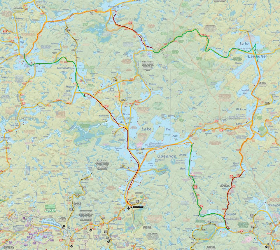
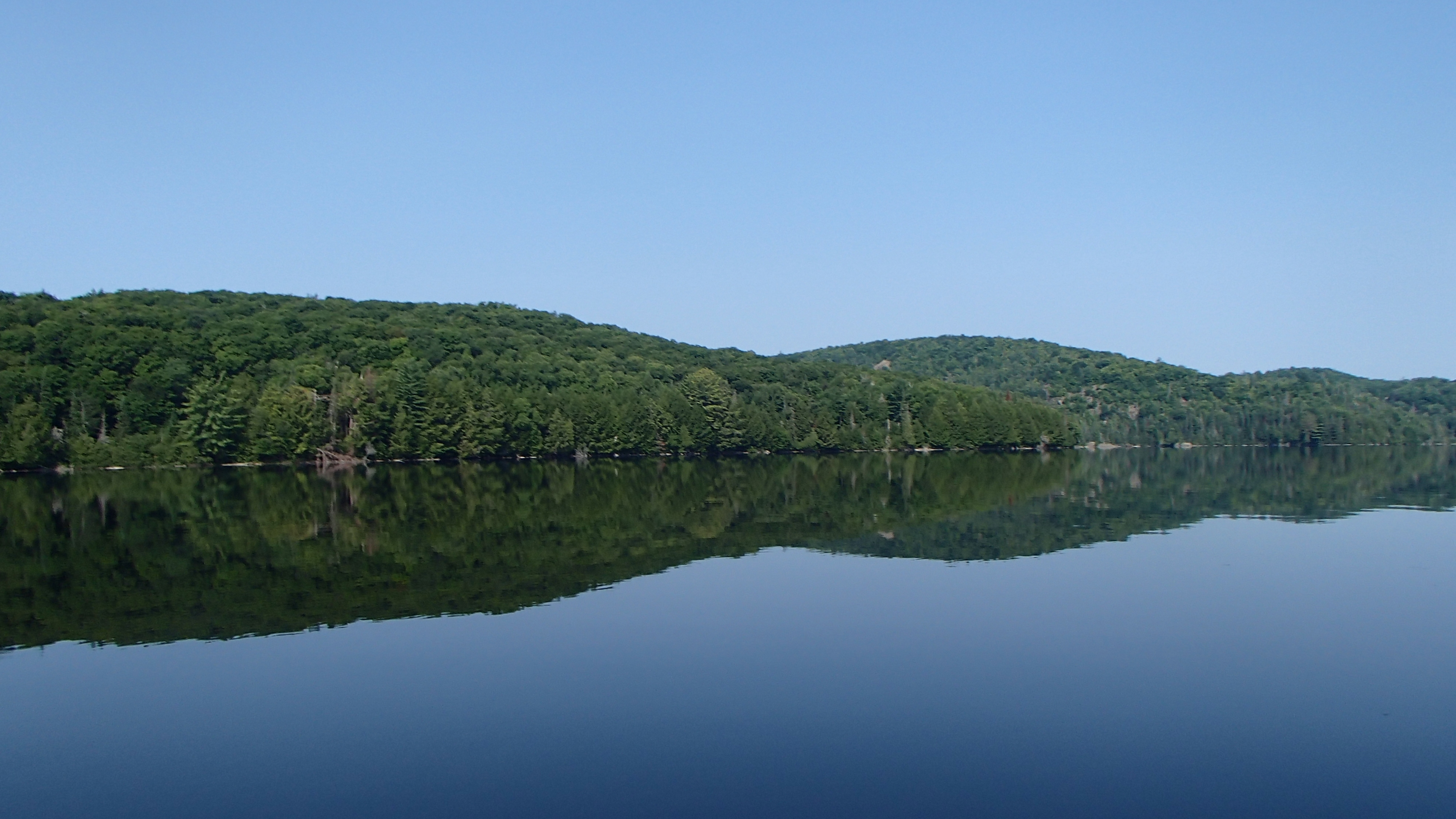
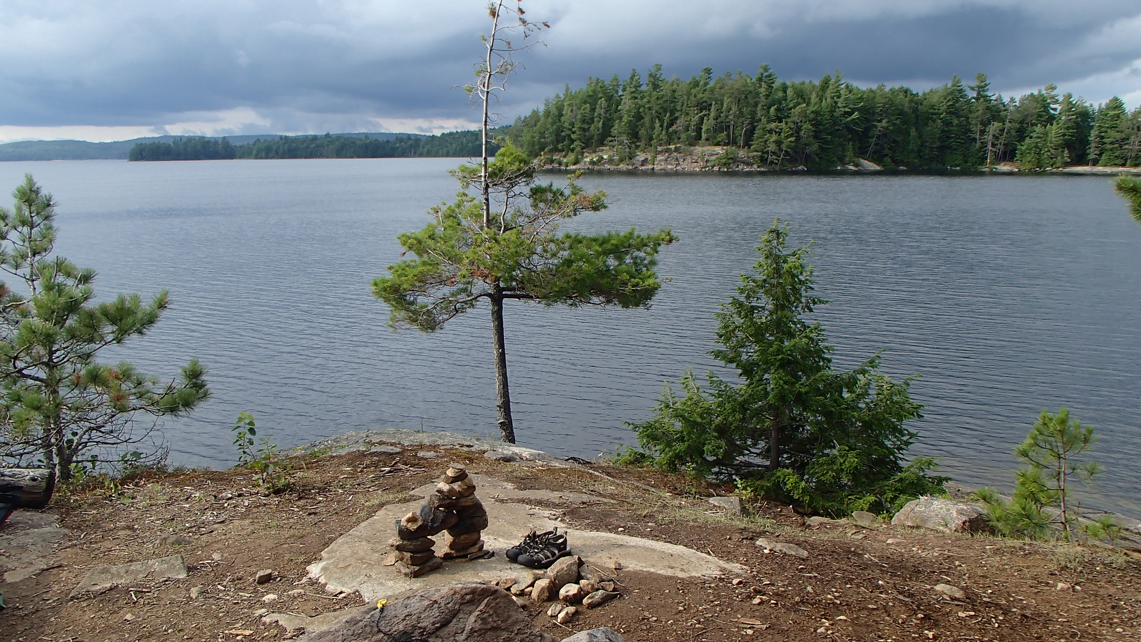
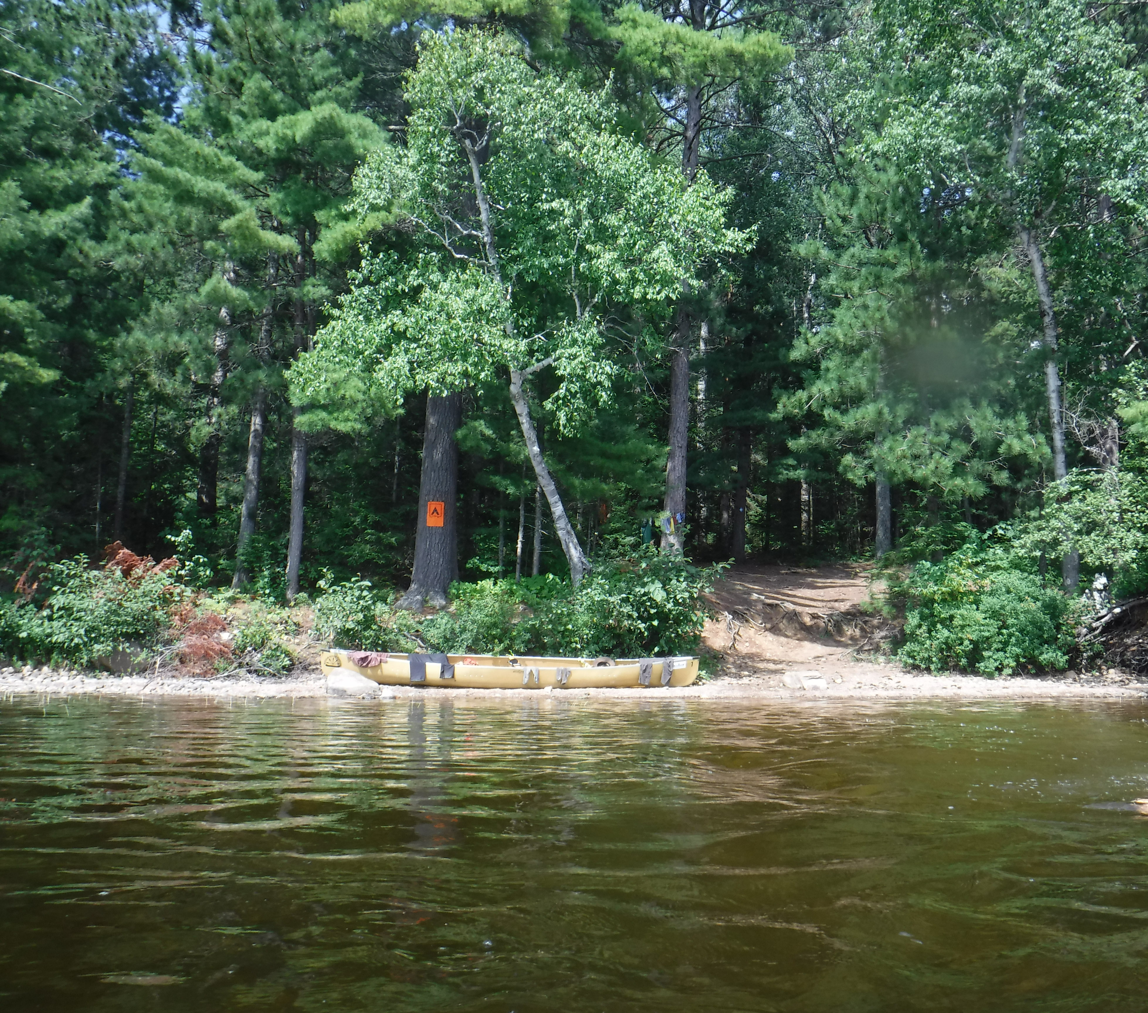
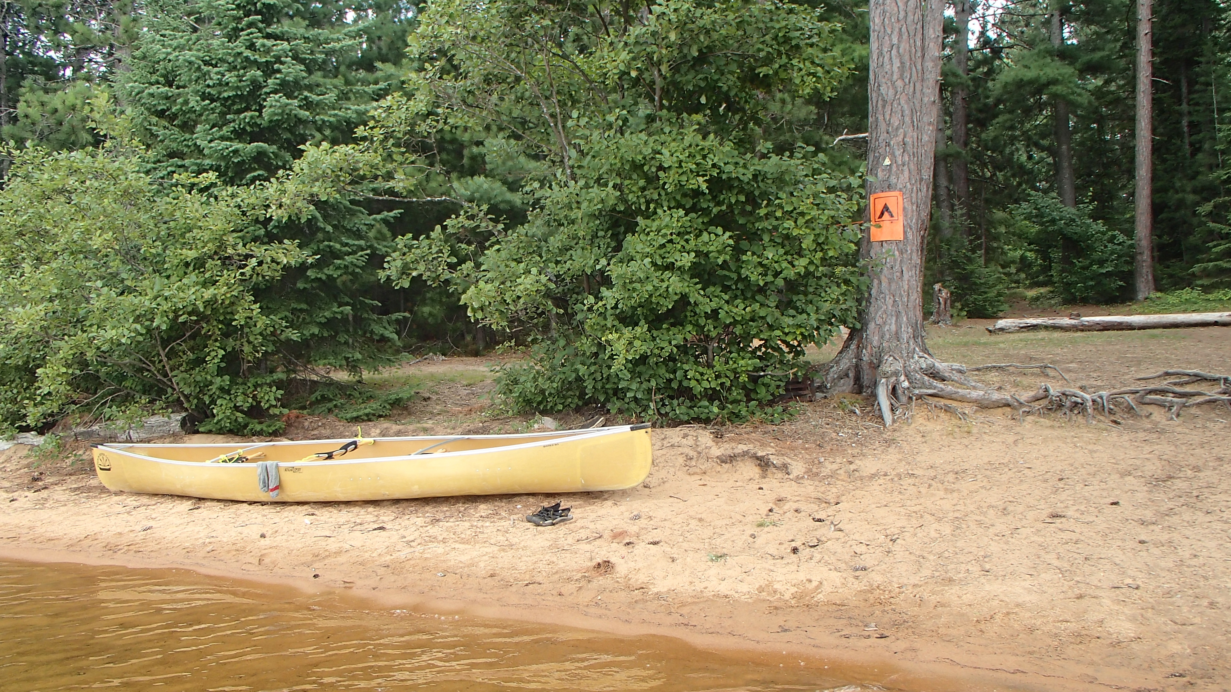
We visited most of the sites on the eastern side of Big Trout, but kept passing on them mostly because we weren't ready to settle down. The lake was incredibly calm, and it was a beautiful day to explore. We eventually settled on the site on the southern tip of the northern peninsula near our portage for the next day (PCI #36). We were considering passing on this one as well, thinking it difficult to land the canoe and carry our gear up a steep rock face, but soon discovered an easy beach landing "around the corner". We reached the site somewhere around noon, leaving lots of time to enjoy the rest of the day.
The day turned out to be another warm and still one. We swam off the rocky slope and the beach to refresh ourselves. We stretched out the tarp for another night under the stars, washed up a few clothes, and relaxed for the afternoon. Lunch was powdered egg wraps smothered with refried beans that Joshua had found packaged in cardboard containers. More swims were taken to cool off, and naps taken to relax. Dinner was onion dahl with naan bread, a favourite we introduced a couple of years ago. We finished off the day with a sunset paddle around the northern bay to the west of our site. Once things darkened we could see the occupied campsites from the light of their campfires. While the lake appeared quiet during the day, there were more people about than we had thought.
Day 3 (Tuesday): Hogan via La Muir
We were greeted with another calm, warm morning, and were well rested with a nice sleep-in and plenty of napping the day before. The 2590m portage from Big Trout to La Muir felt much easier than the 1800m from the previous day, though we couldn't tell why we thought that either! We all thought it was a prettier walk, and perhaps that helps?! Once we reached La Muir we paddled around the first point and stopped at a campsite to take a break, refresh and cool down in the water, and refill our water bottles for the paddle down the lake.
We paddled the southern shore, having stuck close to the northern one on the previous year's trip. About half way down the lake the first wisps of wind on our trip were felt, which were welcomed. Muddy lake had visibly lower water levels than what we had experienced the year before. Same goes for the stream that takes you to the dock at the start of the 685m to Hogan. The Madawaska was a shadow what we experienced in 2017. The water levels were much, much lower, with barely a hint of current.
We were disappointed to see the Hogan site we stayed on in 2017 (and were hoping to stay on again) was occupied. We paddled around the island, assuming we would end up on the site on the point further down the lake that we had stopped at last year. Instead we landed on the opposite side of the island with the beach landing. We passed this site up last year as it looked a little close to a marshy area, but once we started exploring we decided to settle in, and became quite enamoured by it. It was closer to the start of our portage, and easier access to the water would be welcome with the hot weather. We soon realized a short walk across the campsite landed us on a Mediterranean-like rocky beach, which we enjoyed for most of what remained of the day. The only real downside were the dozen-or-so live cedar trees that look to have been chopped down quite recently and left. We spotted a few beaver swiming around and thought, perhaps, it might have been them, but the internet tells us it probably wasn't. Hopefully it was them, because otherwise... jeeesh.
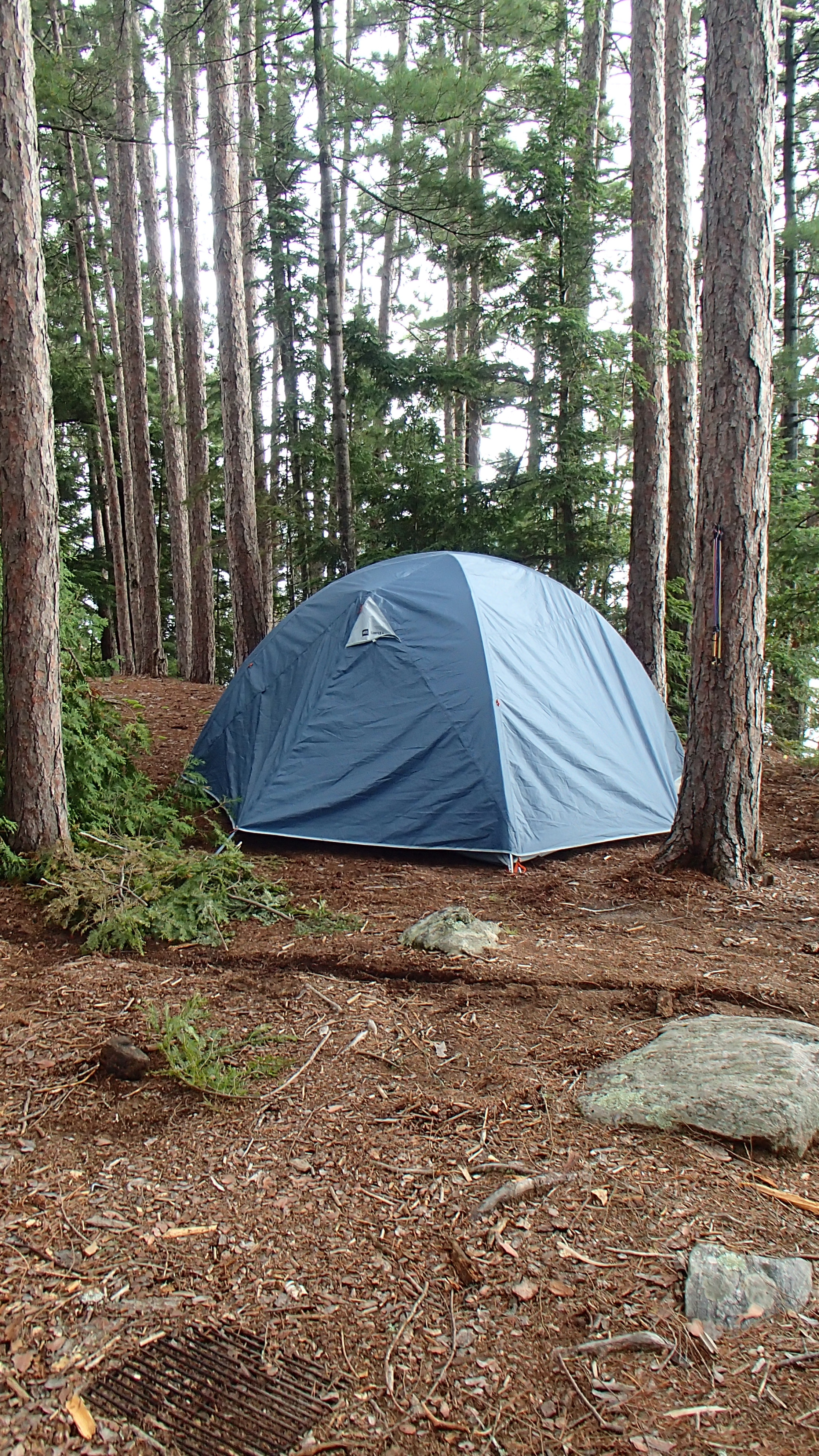
Once again we took to sleeping under the stars. Just as we were falling asleep we saw lightening in the distance, so we quickly set up the tent and put our sleeping bags inside. Once the sleeping gear was safely in the tent we headed over to the other side of the island to watch the storm develop. We eventually became too tired waiting for the storm, so we until we headed back to the tent, careful not to step on any of the many frogs that overran the site at night. We woke up realizing the storm never materialized, but better safe than sorry...
Day 4 (Wednesday): Big Crow Lake
Eager to reach new territory, we were up near dawn to pack up. We reached the 3750m to Booth, loaded up, and started climbing. We climbed some more, then some more, and up, and up, and up! Somewhere along the uphill stretch we reached a canoe rest, put our things down, collapsed for a few minutes and contemplated our life choices. Then we picked everything back up and finished the portage, launching onto Big Crow to moderate wind, and grey skies.
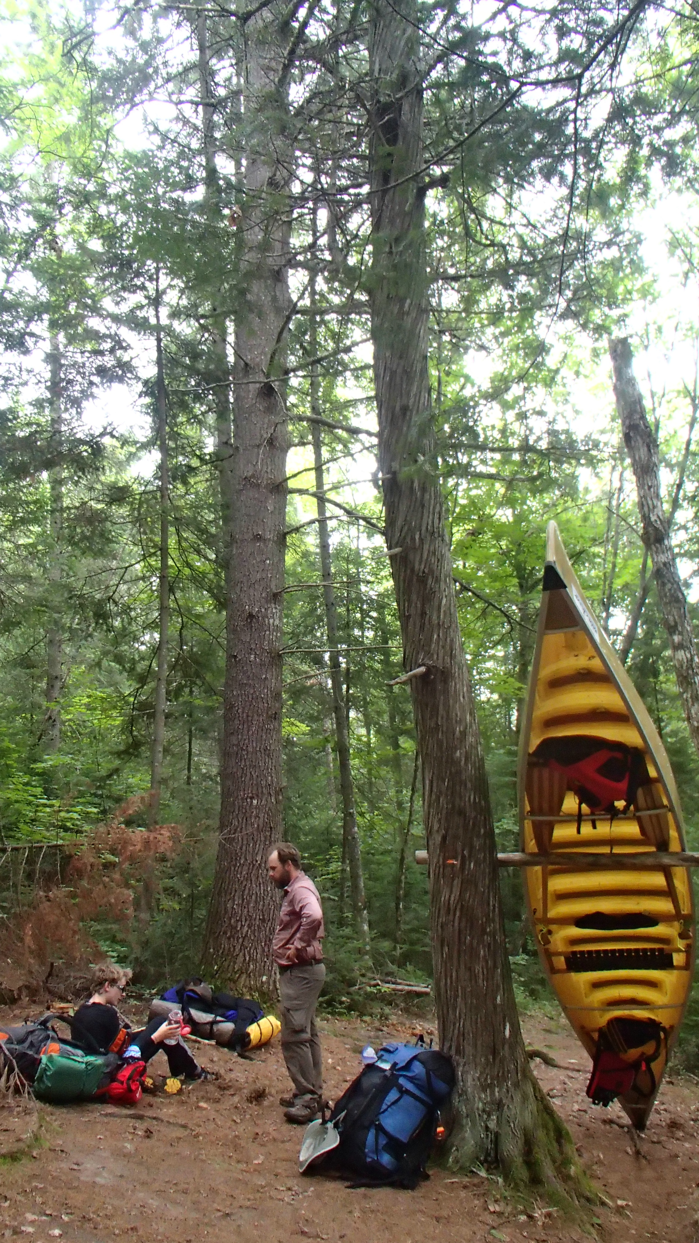
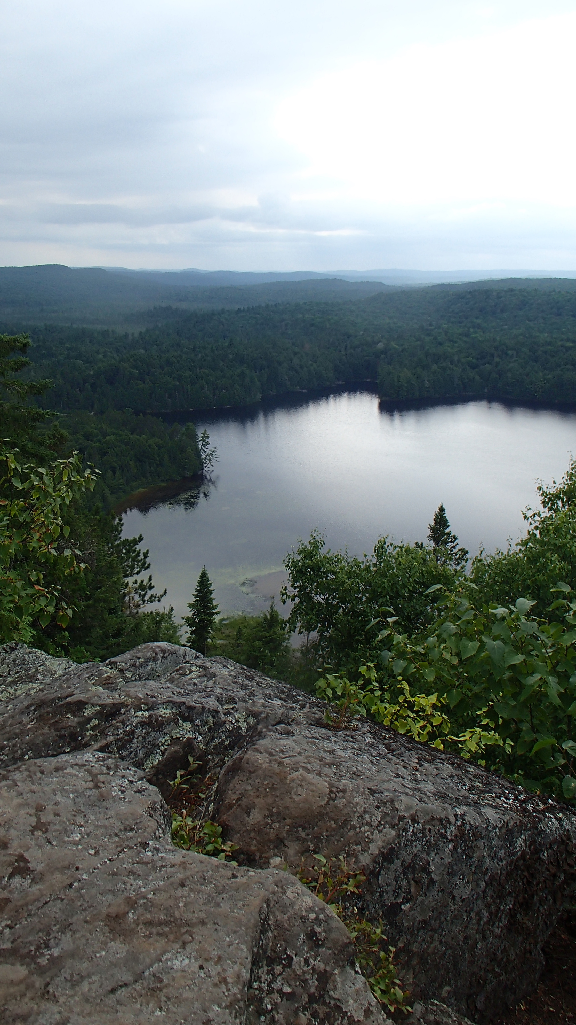
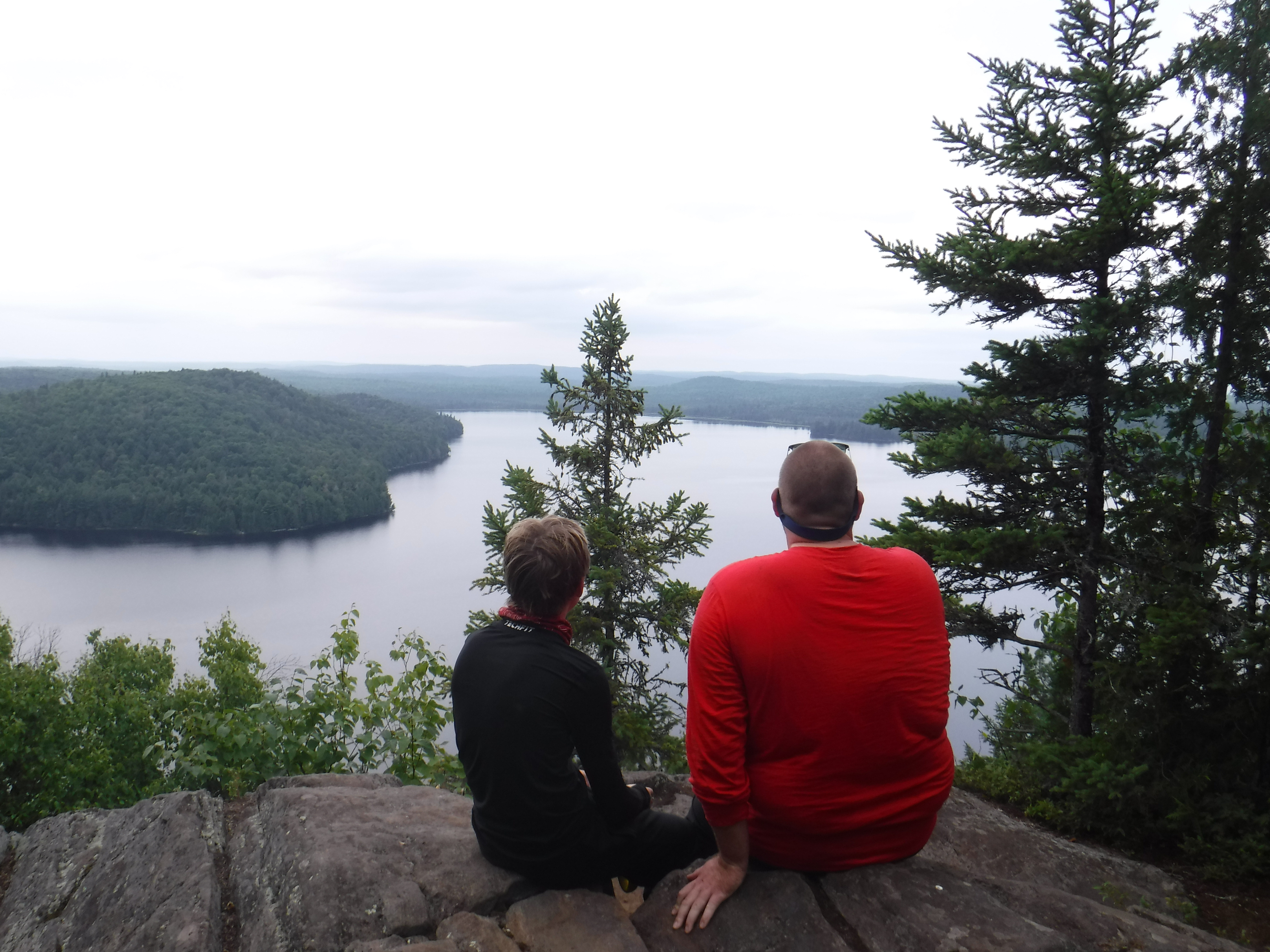
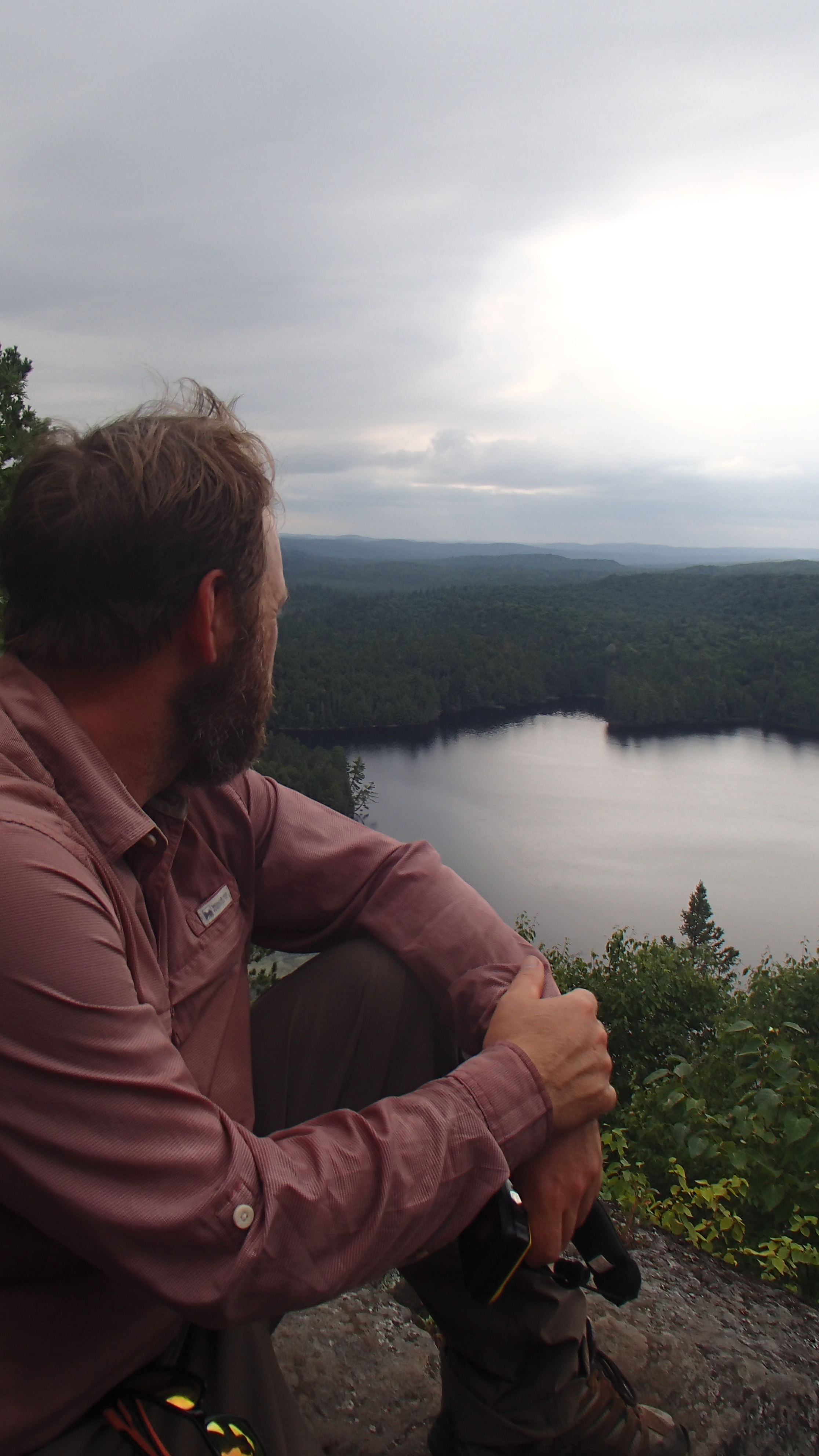
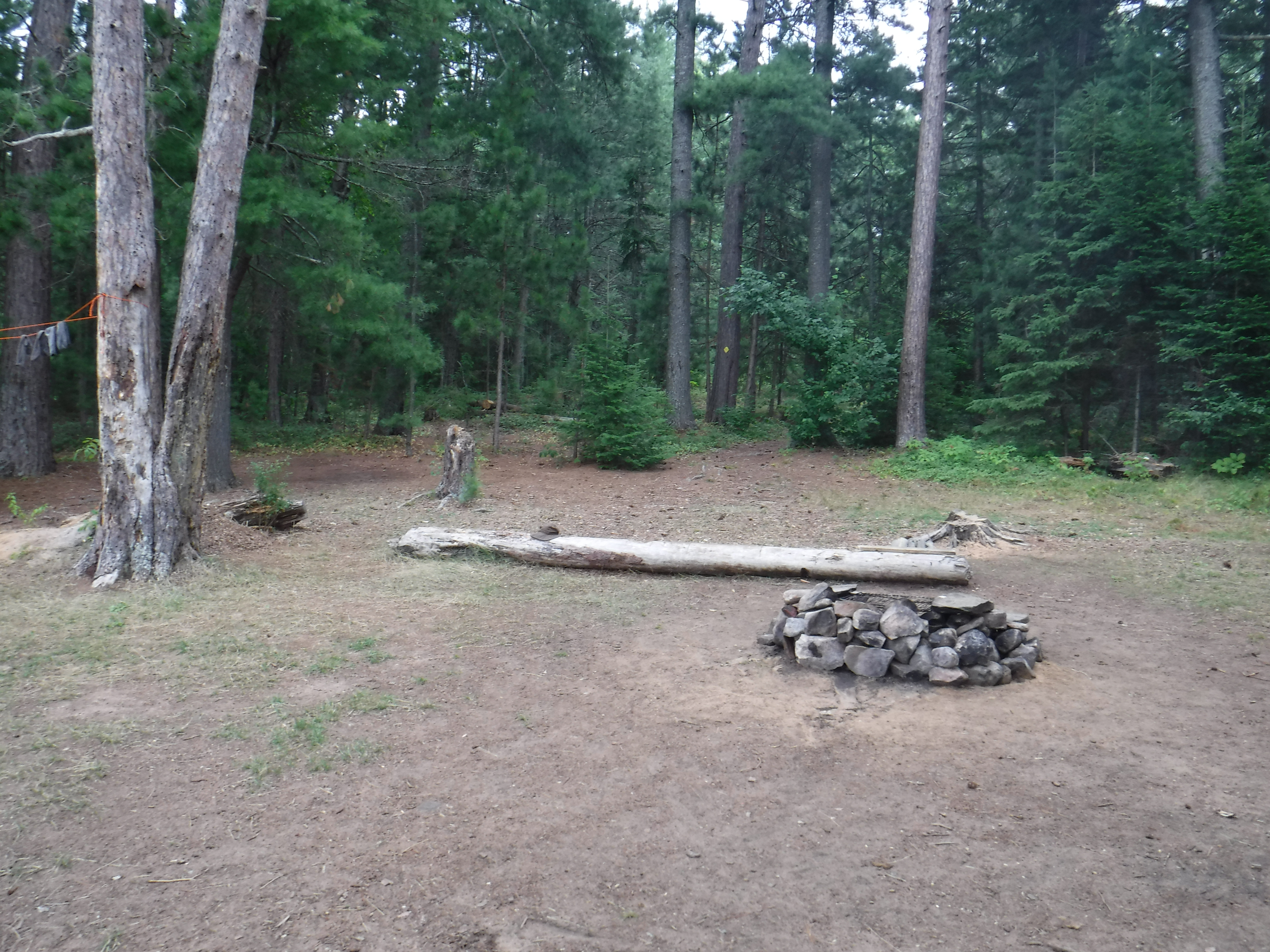
The park booking website indicated Big Crow was full for the evening, a first for us, and we didn't know what to expect. We passed up the first we site saw, which was not much more than a small hole in the forest, and hoped we wouldn't have to come back to it. Eventually, we landed on the eastern shore, on the 'high' campsite (PCI #2) right beside a second, more welcoming looking (and occupied) one. We lugged our gear up to the site, consumed a few snacks, then left to check out the "Giant Pines Trail" indicated on "Jeff's Map".
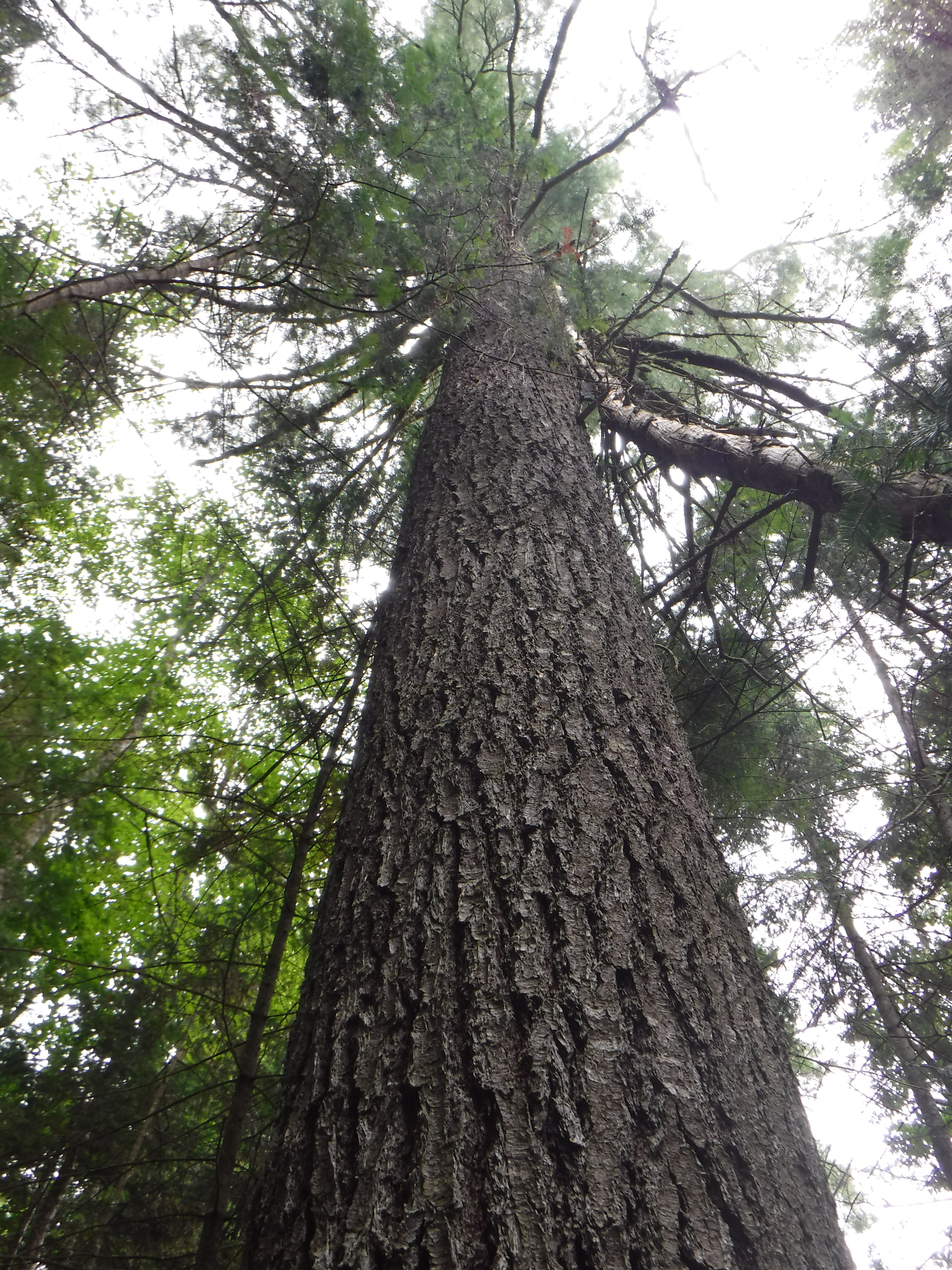
That walk also went up, and up, and up, until we found ourselves surrounded by some awe-inspiring trees. The further we walked, the larger they became, until we reached one that probably required four or five people to properly "hug". It was a grand experience.
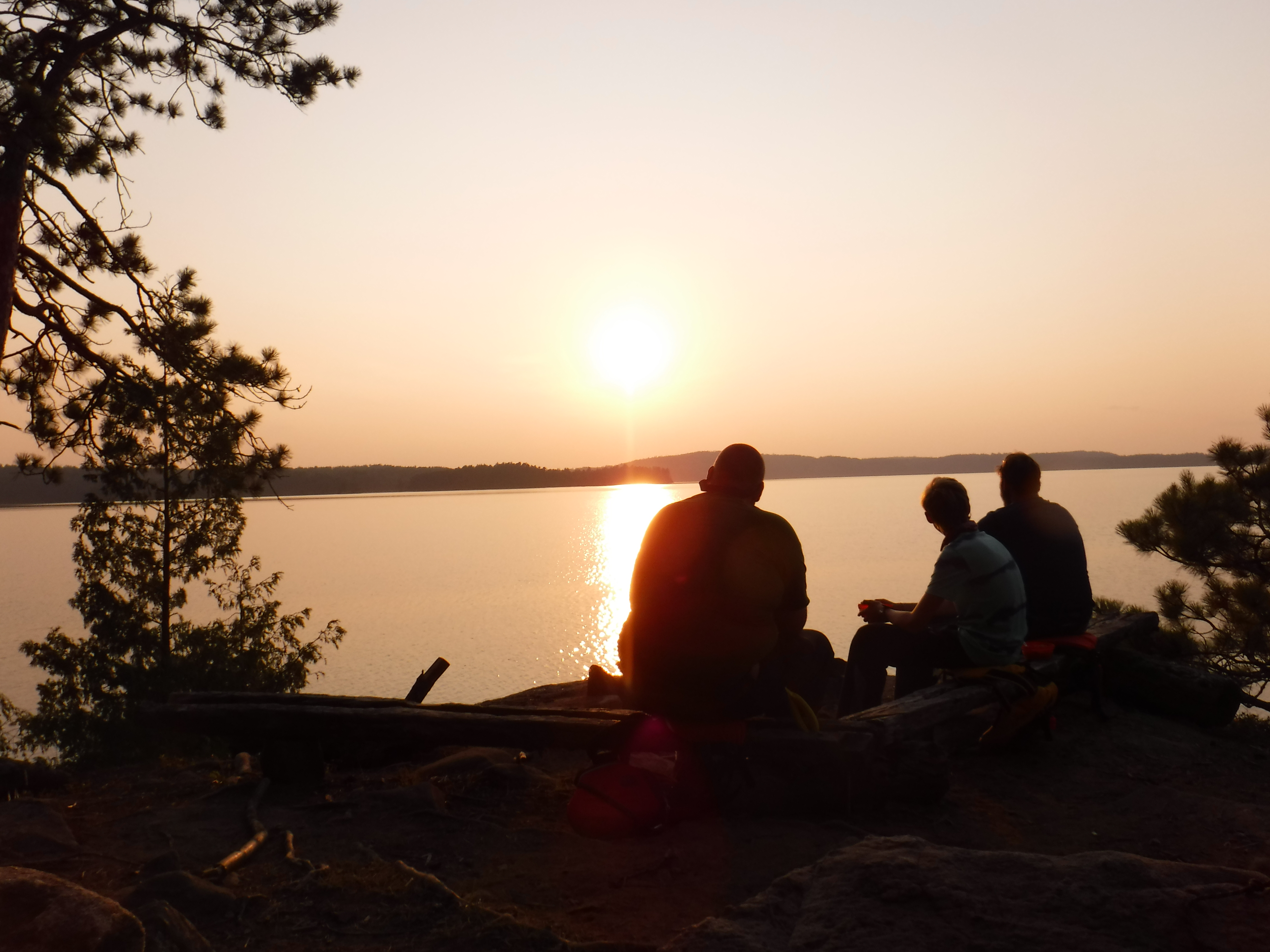
Next up was the fire tower trail, so we made our way back to the canoe, and paddled over to the unoccupied ranger cabin. That trail took us up, and up, and up, until we reached the tower, and the lookout. There we met a couple that had just become engaged in this most spectacular setting. Thankfully these three extremely sweaty dudes did not interrupt their moment. Had I been in better shape we may have, and so the universe has revealed that mindlessly eating that last cinnamon bun really did have a purpose. Joshua took their picture to capture their moment for them, they went on their way, and we sat in awe of the view for about an hour.
After the hour it was nearing dinner time, so we reluctantly headed back down to the lake, paddled back over to our site, had a swim to rinse off the day, dinner, and then collapsed early to bed, having fought more gravity than we typically do on a Wednesday.
Day 5 (Thursday): Big Crow to Lavieille
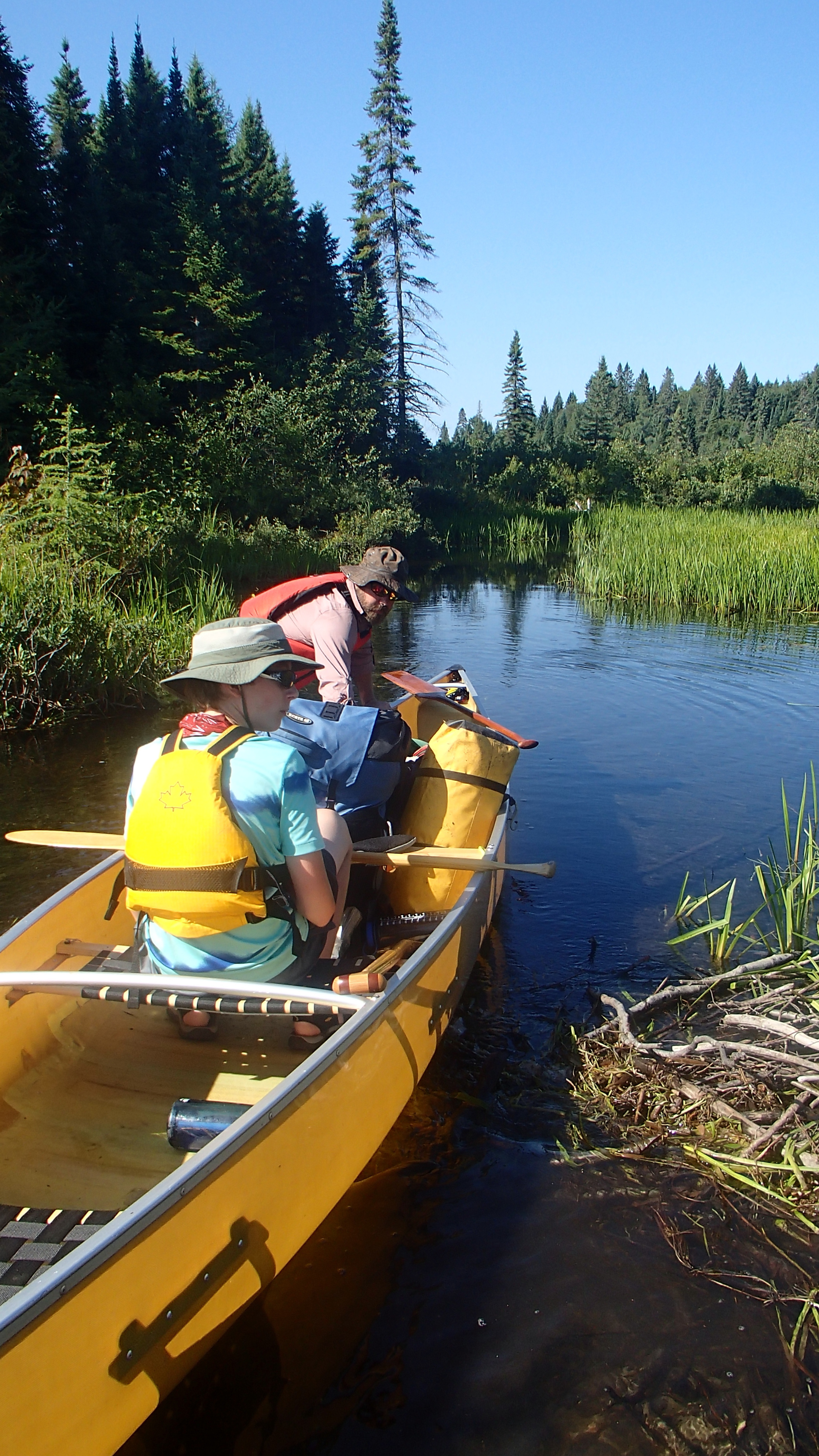
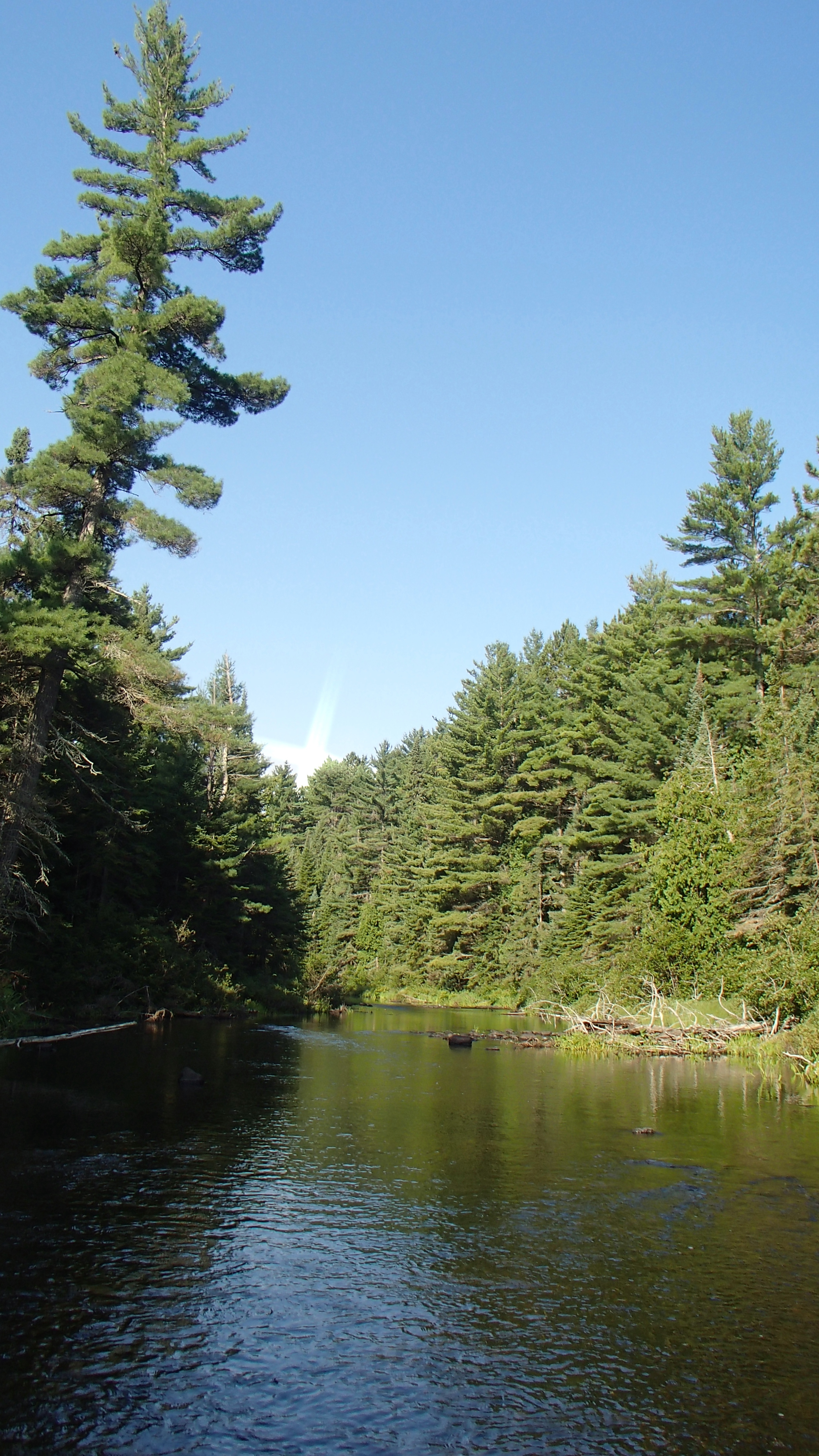
We were thankful that the day promised very little in terms of altitude changes as we had our fill of it for a little while. Around the point and up a short section of the Crow River (across from the White Pines Trail), and we were at the entrance to the first portage, where an ominous sign welcomed us by warning of blue green algae. We found nothing noteworthy on the first section of the river and its portages, except that we did have to hop out of the canoe a few times to navigate some shallow sections of the river, something we didn't mind so much as it was still very warm. On the 1200m portage I foolishly left some debris in my sandals, which caused blisters by the end that I would have to attend to for the rest of the trip. That bone-headed move aside, the portages were flat and straightforward, and the scenery was beautiful. We have always enjoyed the sections of river travel that we encounter, and the Crow River was no different. We've never stayed on a river before, and have never run across a river campsite that has made us regret that either, but we'll have to break that trend at some point.
The last four portages were not difficult in terms of carry, but we did struggle with the entrances and exits quite a bit. Josh's pack was becoming increasingly difficult to wrangle as we slowly transferred gear from James pack while it continued to deteriorate. Our second difficulty in this area, that we had not had issue with before, were leaches. We've never been shy about getting our feet wet entering, exiting, and loading/unloading the canoe, but immediately after putting our feet in the water we could often see dozens of them swim towards us. I had a good number of them latch on over the day. When those blisters developed on the 1200m I put socks on to help mitigate. After the last portage of the day I removed those wet socks to let my feet "breathe" and learned a not-insignifcant number of leaches managed to get in my socks. I learned this because many were torn off through the process of removing those socks. I also learned it takes a while to stop bleeding of a torn-off leach-latch site. Despite my best efforts a couple of sites also became infected, and took several weeks after the trip to heal. Up until this point I never had an opinion about leaches, but I seem to have developed a dislike for them. We survived none the less, and found ourselves paddling on Crow Bay. A number of sites on the bay looked enticing, but we wanted to spend the time we had on Lavieille, so we kept moving.
We made our way to "Swifty's Site" but didn't stay as we saw no good tent pad, and the "thunder box" was swarmed with mosquitoes earning it a low score for 'hazards' (more later). Before we loaded back into the canoe we were treated to a terrific dancing and singing show by a half dozen loons just off the site's shore, something we had never experienced before.
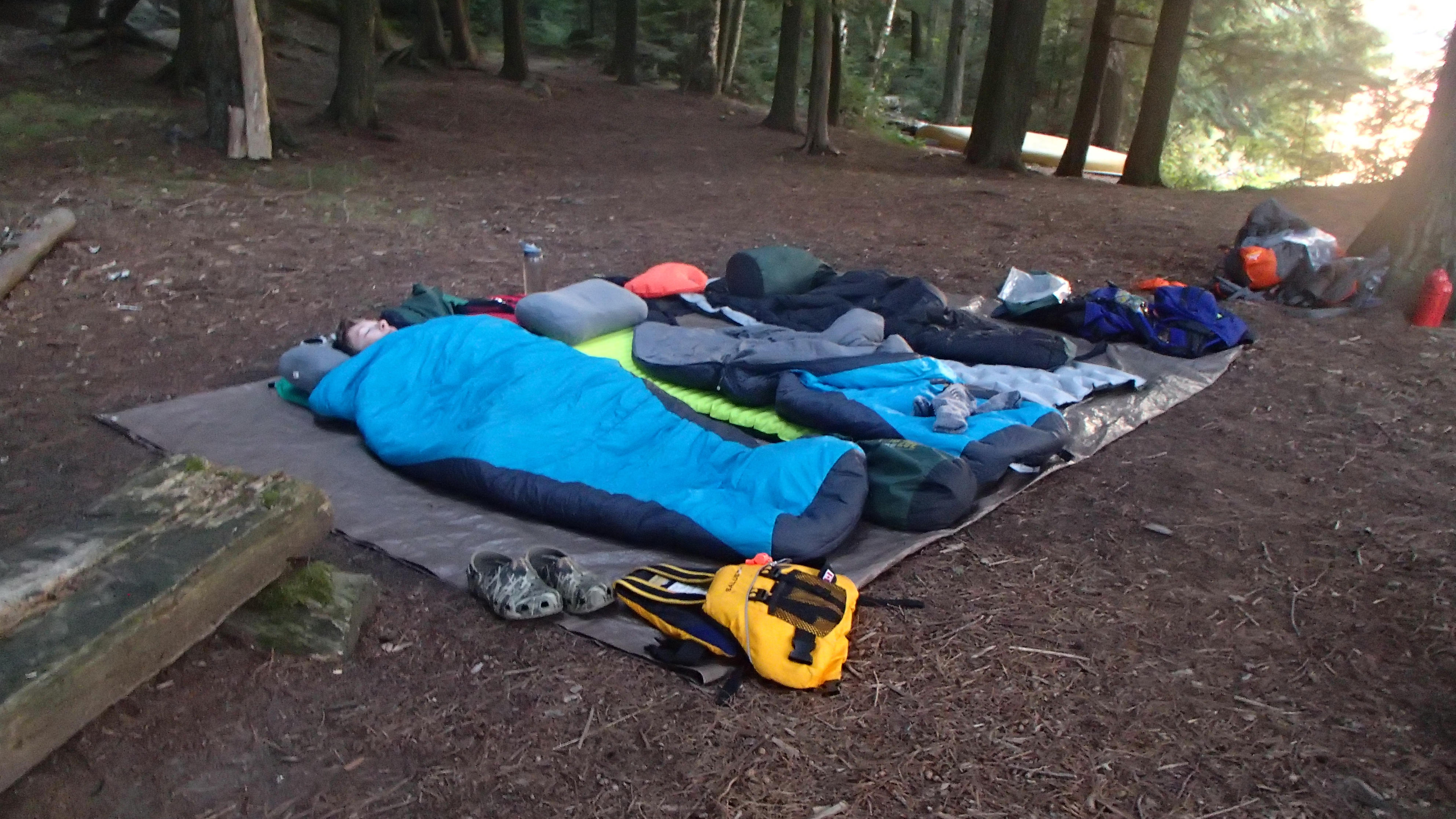
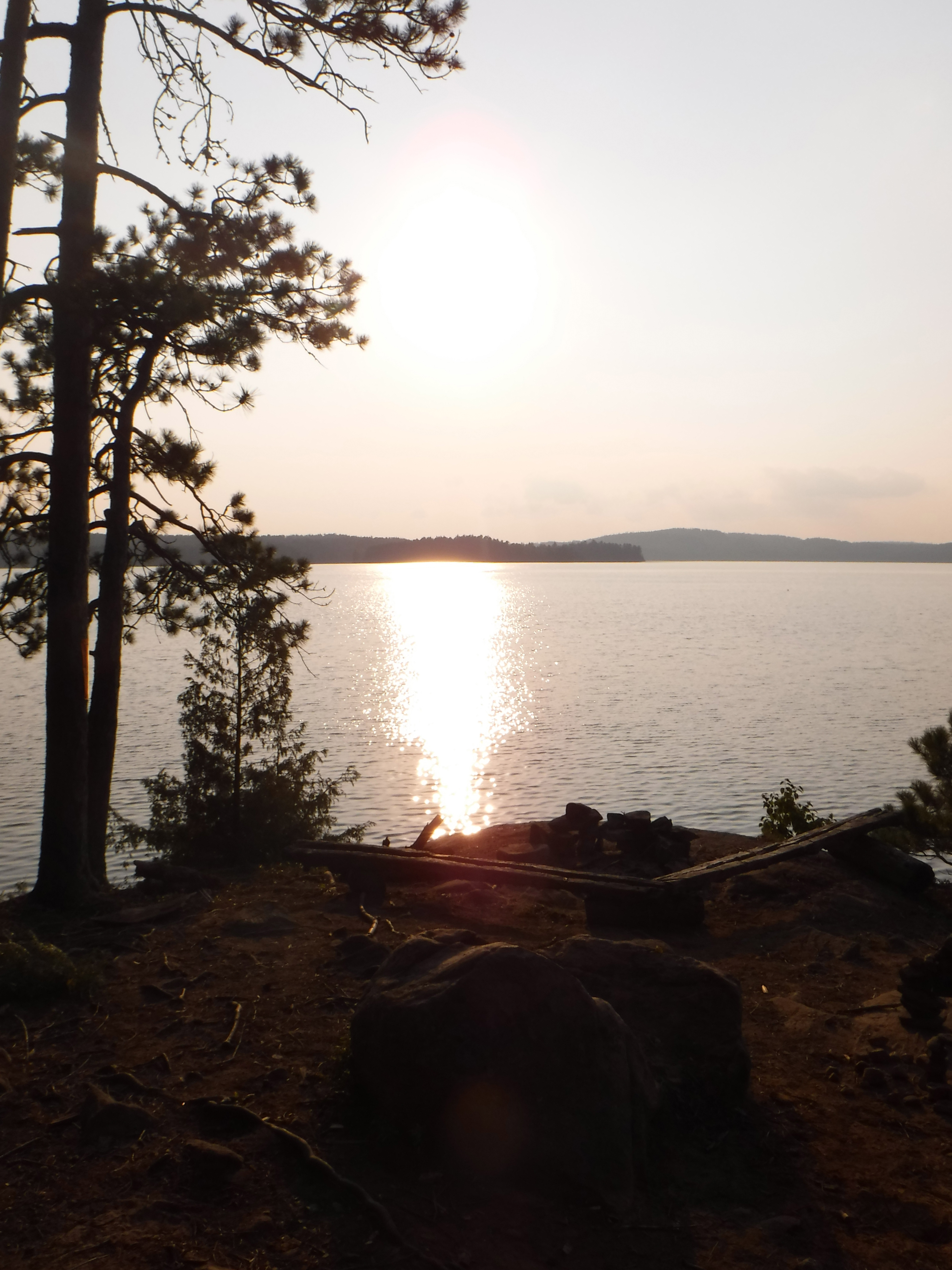
We visited a few more sites before ending up on an island south of Crow Island. The front was an open rocky outcropping with benches and a fire pit, so that one could sit and overlook the lake, and have an open view of the sky. The tent pad and (primary) fire pit were further up the hill, protected better from wind and weather. We once again laid out the tarp for under the stars sleeping, but set up the tent off on another tent pad "just in case" since the sky was grey, and had been off-and-on all day.
We went down to the 'lower' site to enjoy overlooking the water. I tended to my feet, and we all went for a beautiful extended swim while watching the sun set. We skipped having a campfire once again, so far only having the one at Happy Isle that we used to cook our first supper. Having no fire suited us for a few reasons: everything still seemed tinder dry after a prolonged fireban had just been lifted a couple of days before our trip began, the evenings were so warm we couldn't imagine needing any more heat, the stars were so bright up to this point we just wanted to spend time gazing out into the sky, and we were enjoying life without having to spend time gathering firewood.
Day 6 (Friday): Lavieille Rest Day
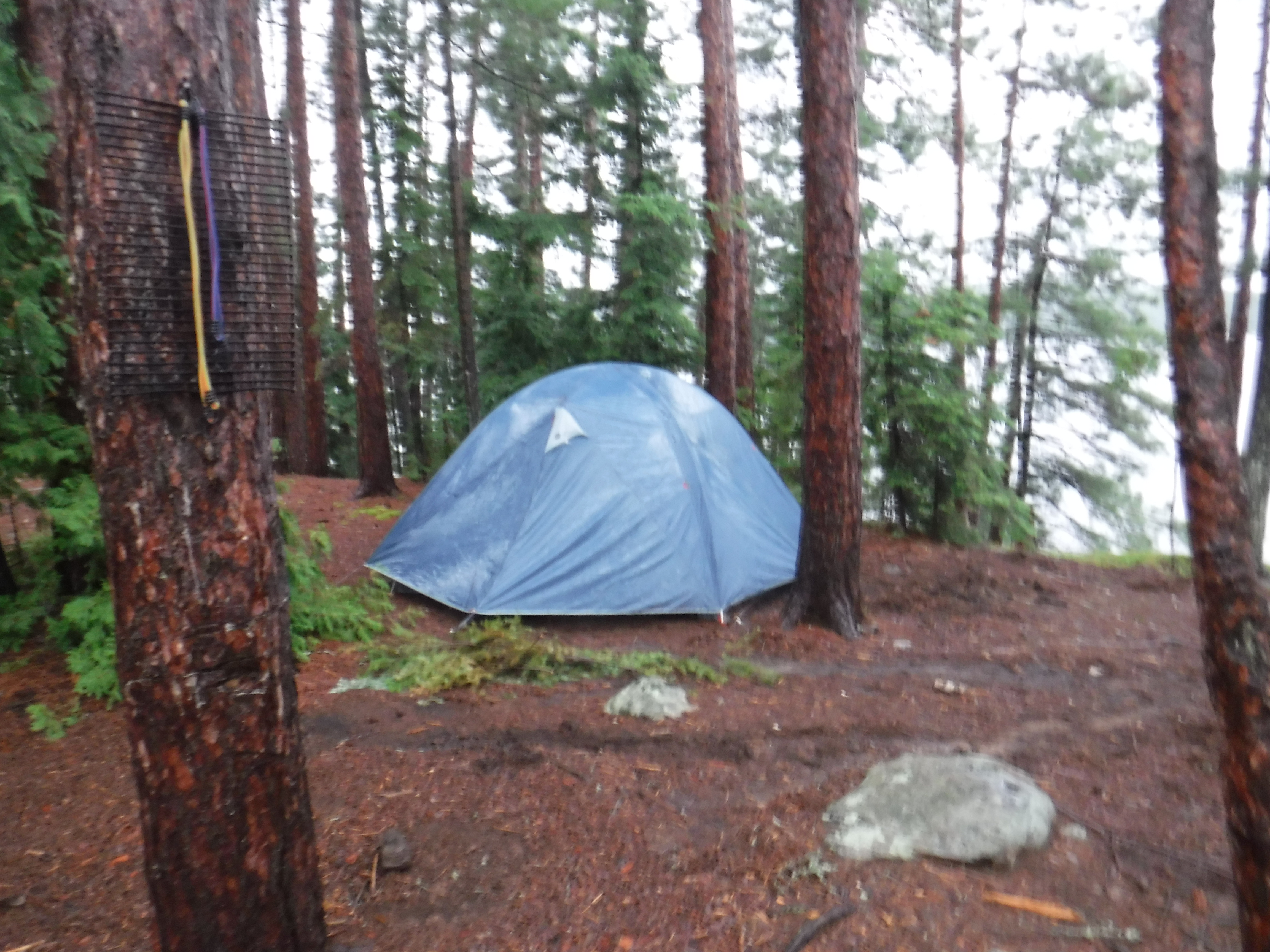
I woke up at some point in the night feeling a couple of raindrops on my face. I waited a few minutes, they subsided, and I must have fallen back asleep. Sometime later I woke again to a few more raindrops, but these ones did not stop. I woke everyone up, and we moved our sleeping setup to the tent, and we all fell back asleep to the patter of rain on the fly.
At daybreak (things were just beginning to brighten) it began to rain heavily. It poured and poured for hours. Sometime around 10:00am Joshua and I had become restless, and we noticed we were laying on what felt like a water bed, so we braved the still-pouring rain to investigate. A small river was flowing under the tent. A small river was flowing just about everywhere as the rain continued to come down in sheets. We diverted what we could, and then stood out to admire the deluge since we were now soaked anyways. It was a remarkable sight, and very memorable experience. The weather was otherwise very calm as the rain poured down, rushing everywhere. The falling and rushing water made an overwhelming "roar" that drown out nearly everything else. It formed impressive waterfalls over the various rocky outcroppings along the edges of the island, bringing with it clumps of pine needles that began to form floating "islands".
Near noon, the rain suddenly stopped, just as James was waking up! We had scheduled a rest day for today, and it was just as well. The sun peaked out of the clouds periodically, so we hung our wet clothes, and leaned the tent over so that things could dry underneath. While we intended to explore the lake, instead we spent the rest of the day cleaning and trying to repair our gear. I managed to break the only sewing needle we brought... I had never broken one before, so I didn't think to bring a spare. Now we joke about what things we'll need to leave at home to lower our weight sufficiently to allow us a spare sewing needle.
A chipmunk shredded a substantial amount of Joshua's travel towel. We don't know why, but it seems to have enjoyed it. This marks the first time we've ever had "trouble" with an animal.
We also came up with scoring mechanism for the 'thunder boxes' we encounter, which we have been rating casually for a few years. It goes like this:
- (S)eat Comfort x/5
- (H)azards (Leaning trees?, Hungry bears? Swarms of Mosquitoes? Splinters?!) x/5
- (U)sability (Dangerously slanted? Is there a lid? Does it close? Does it stay open?) x/5
- (N)atural Views (We really like boxes with a view!) x/5
- (K)nowledge Gained (The box on which we solve "what does it all mean" should have a "leg up", right?) x/5
We had our second campfire of the trip, with which we tried to burn a not-insignificant amount of garbage that had been left on the site. It all went except for one sock, which remained unscathed despite our best efforts. We meant to bring it with us to clean up and use as the world's best oven glove, but we forgot it in the fire pit while it was cooling down. The next person to come across it may help themselves.
Day 7 (Saturday): Round Island, via Dickson Lake
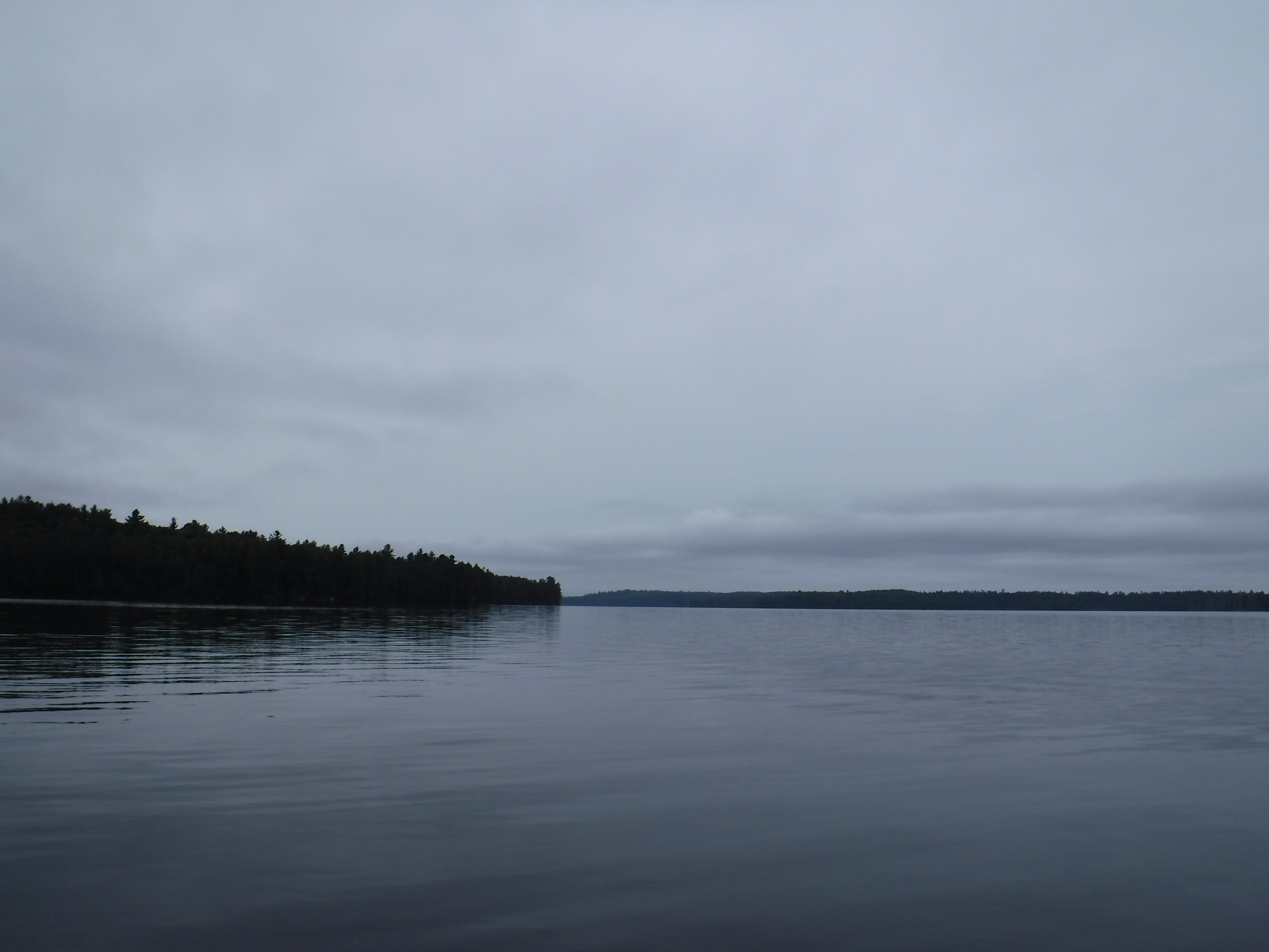
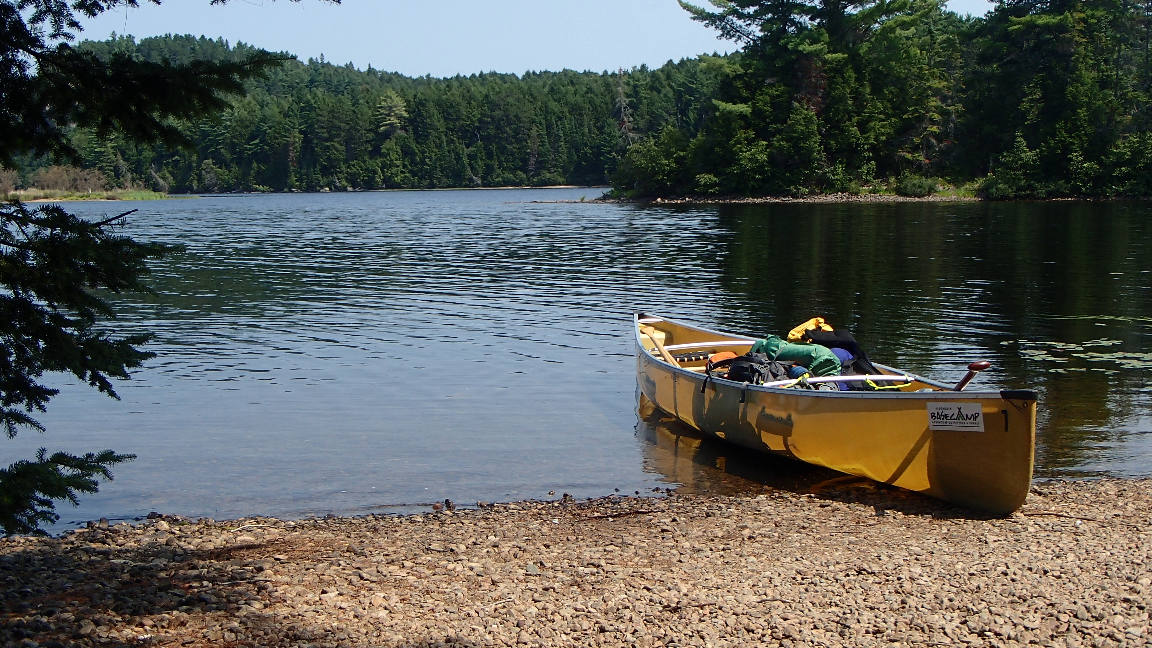
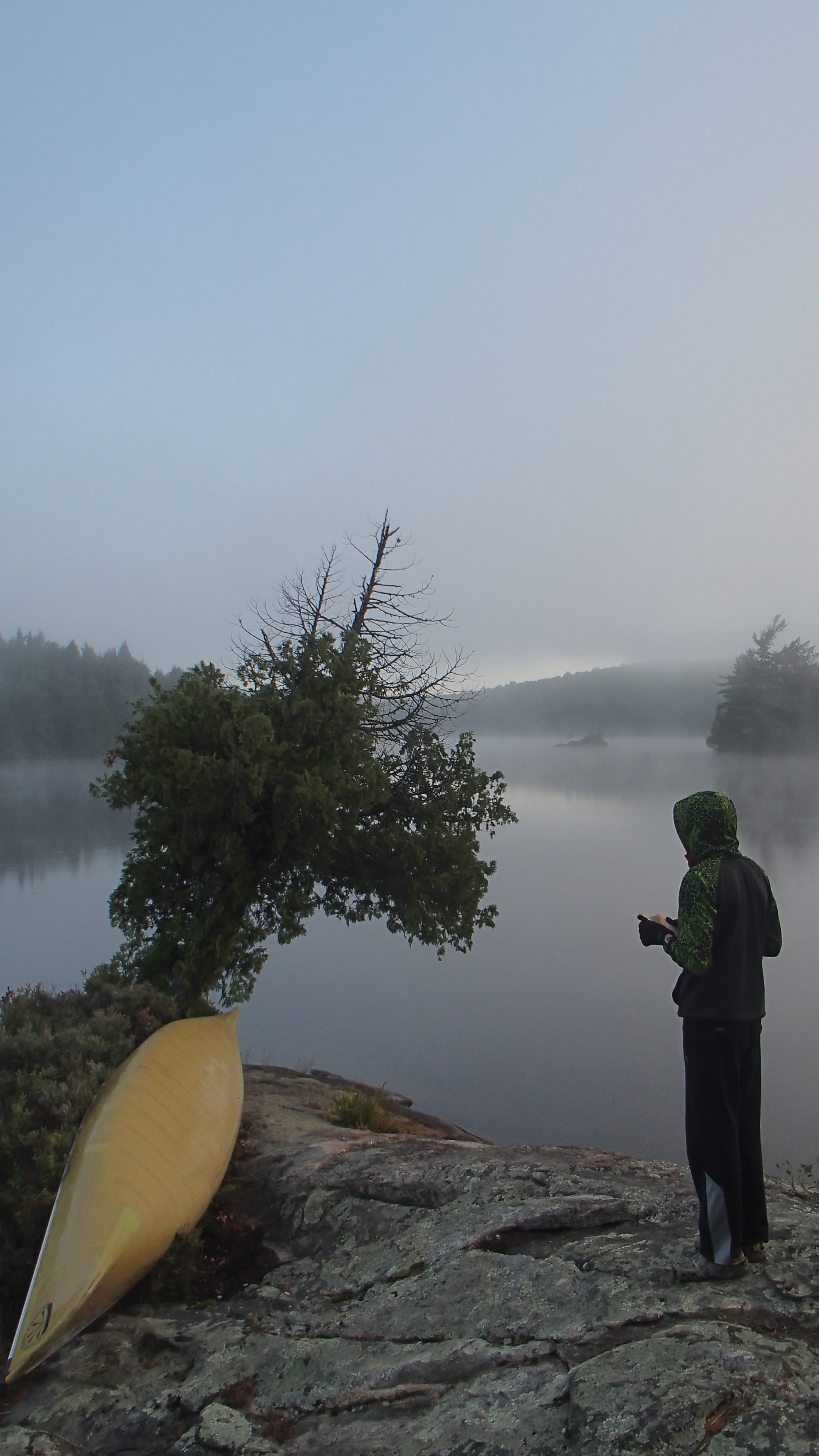
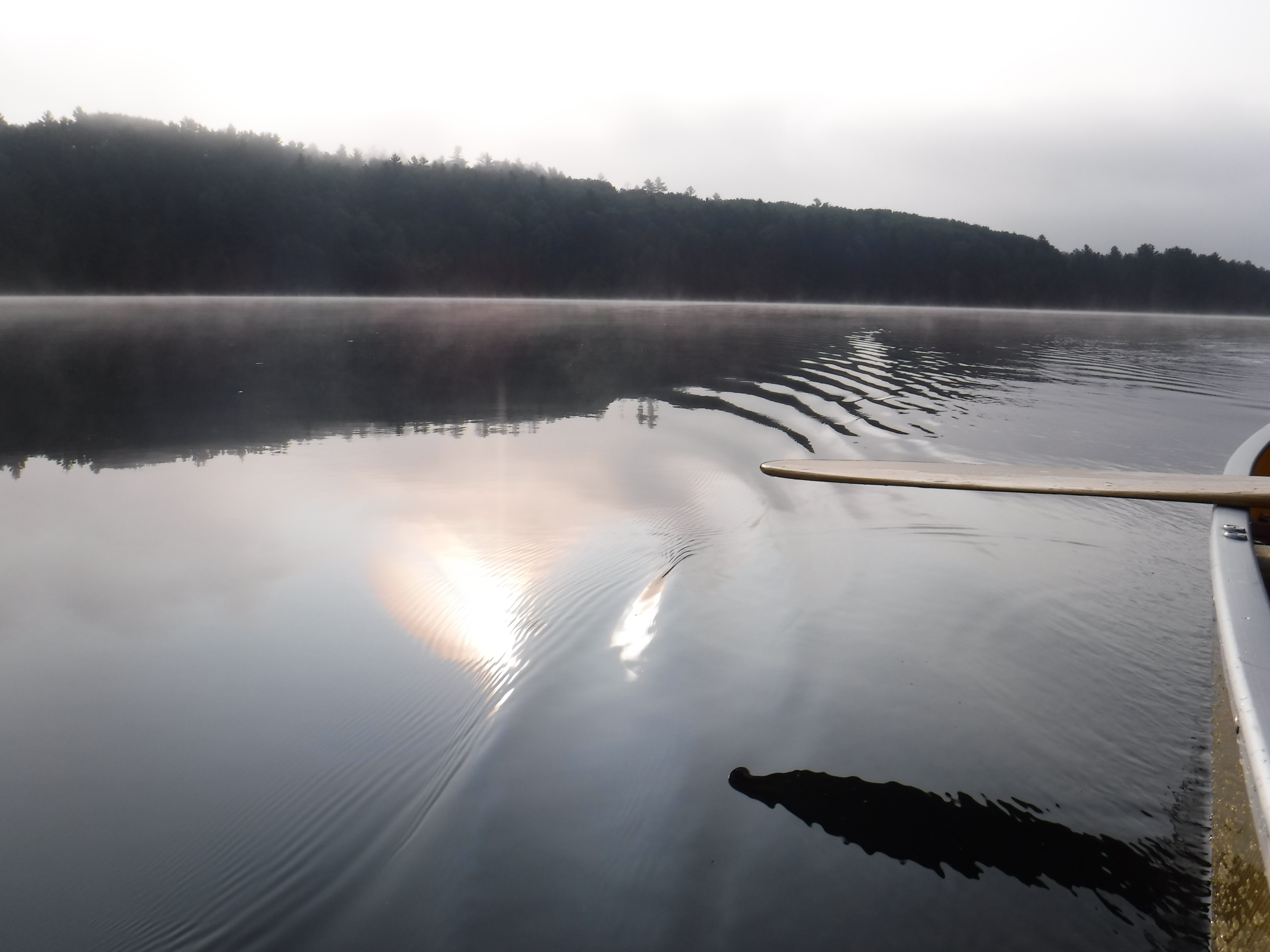
The morning was extremely overcast and misty. Everything was damp, but there was no rain. We filled our water bottles to the brim, knowing we wouldn’t be able to fill up until Round Island Lake because of the algae. We also filled our four litre gravity filter bag, and a fifteen litre dry bag, just in case we became windbound or otherwise detained on Dickson. Then, we began to paddle south.
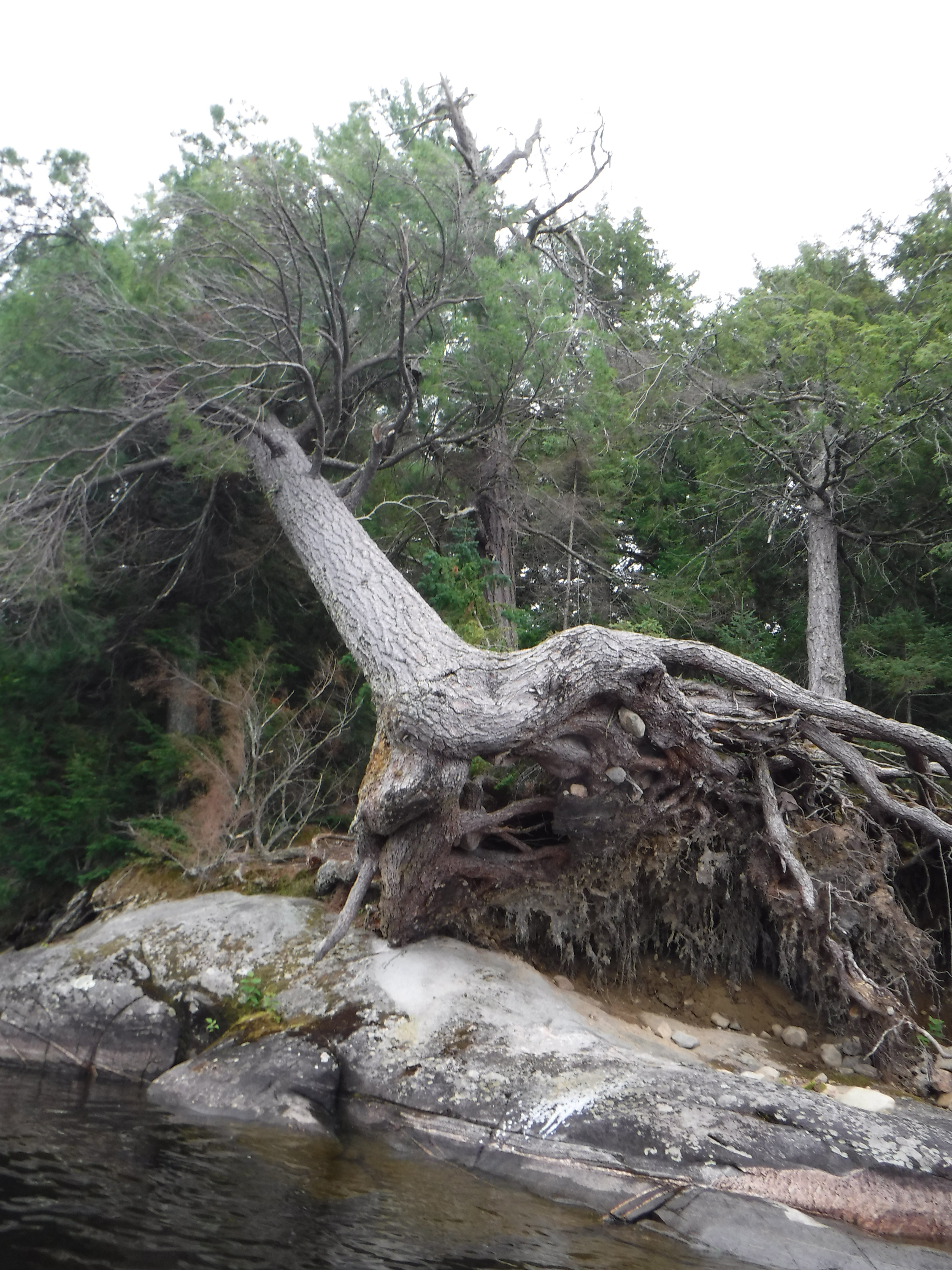
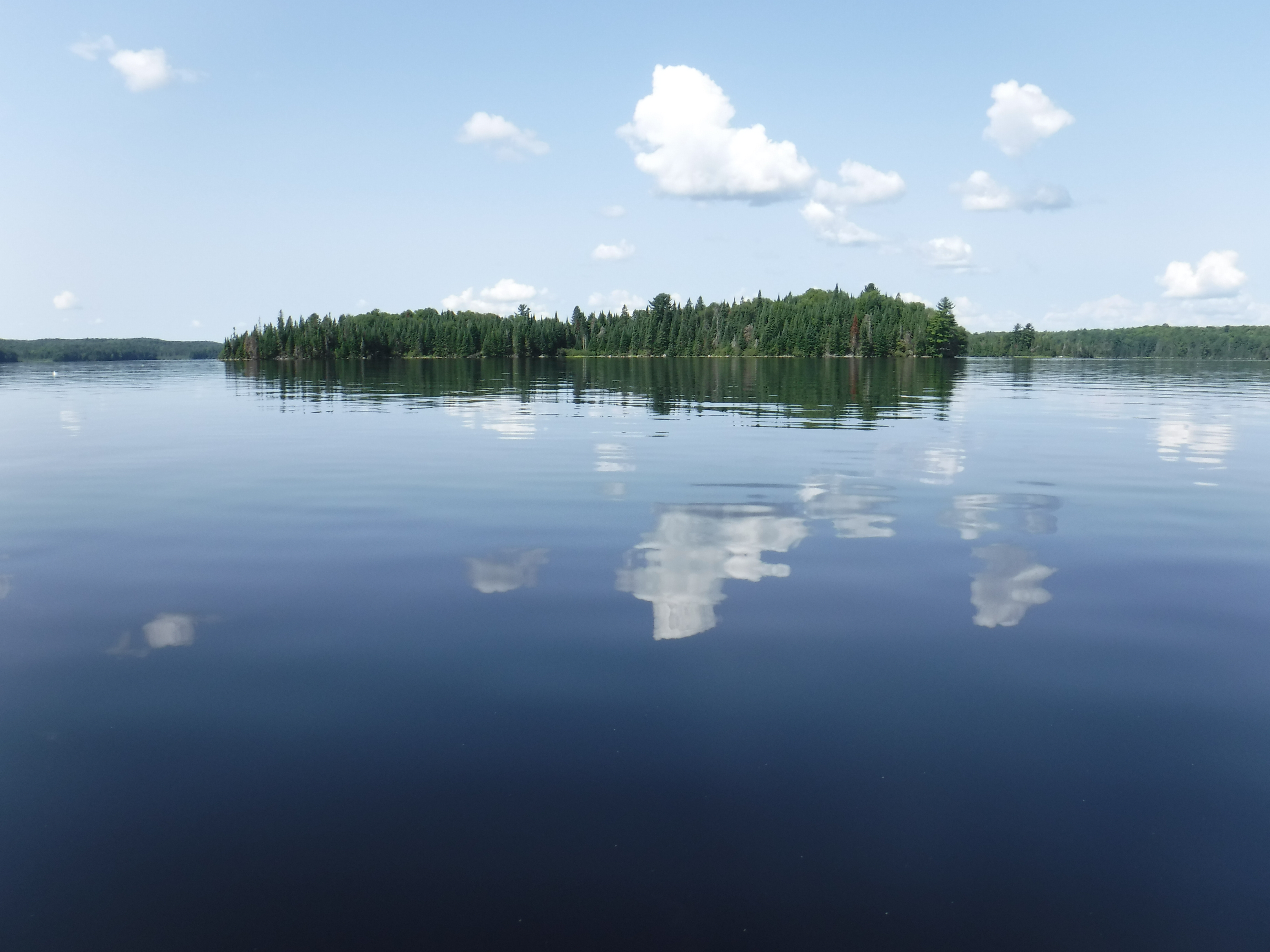
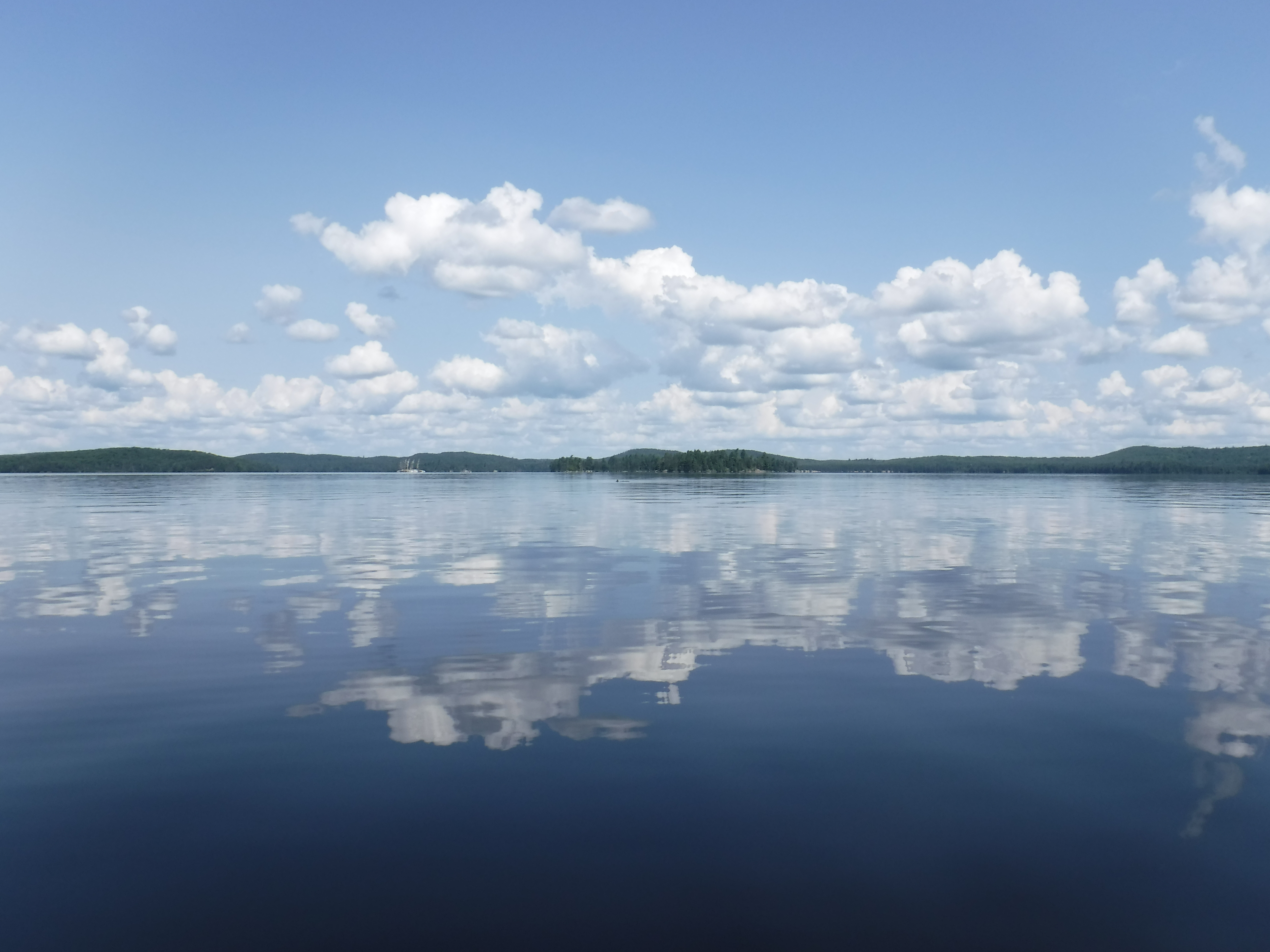
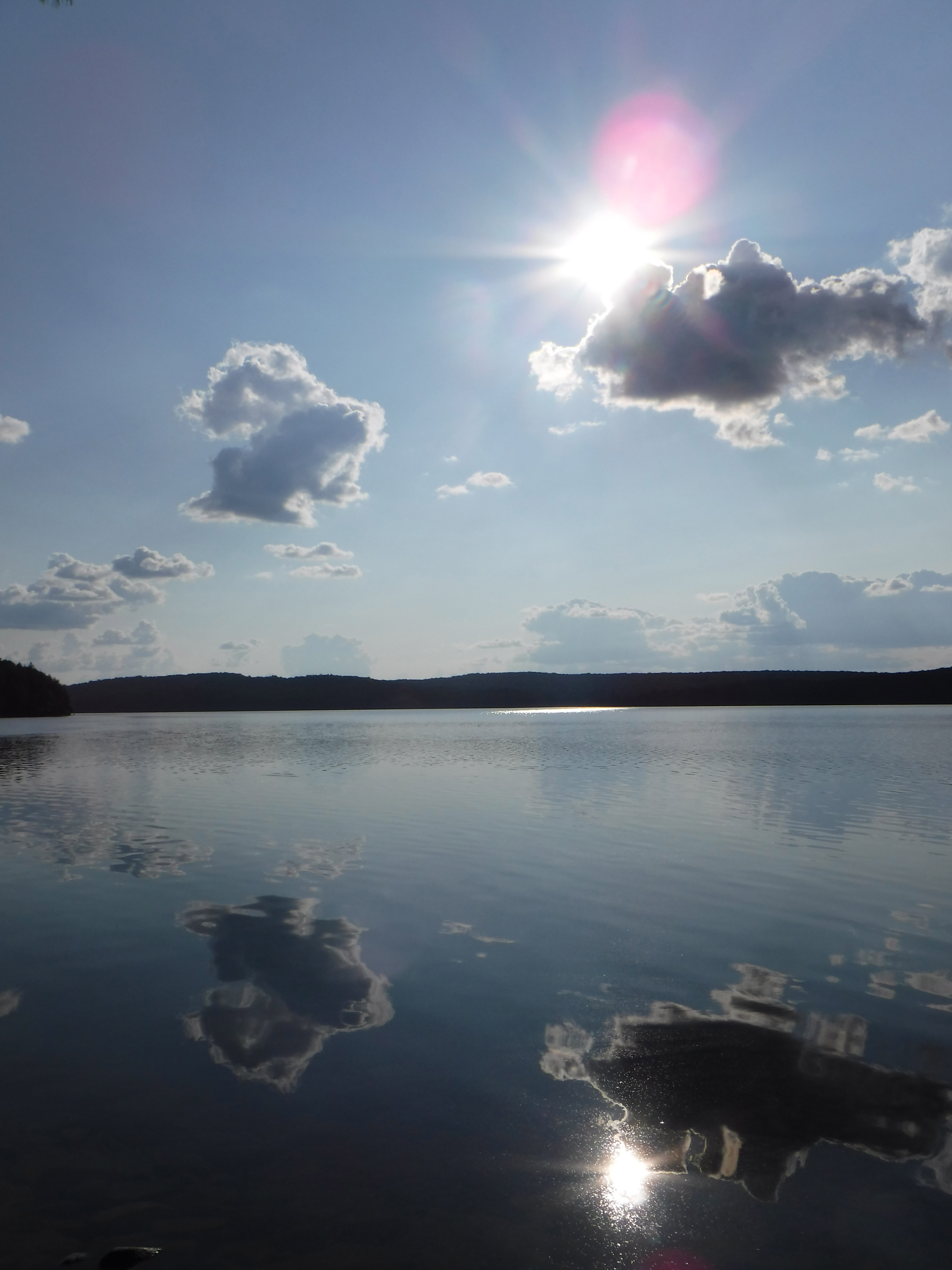
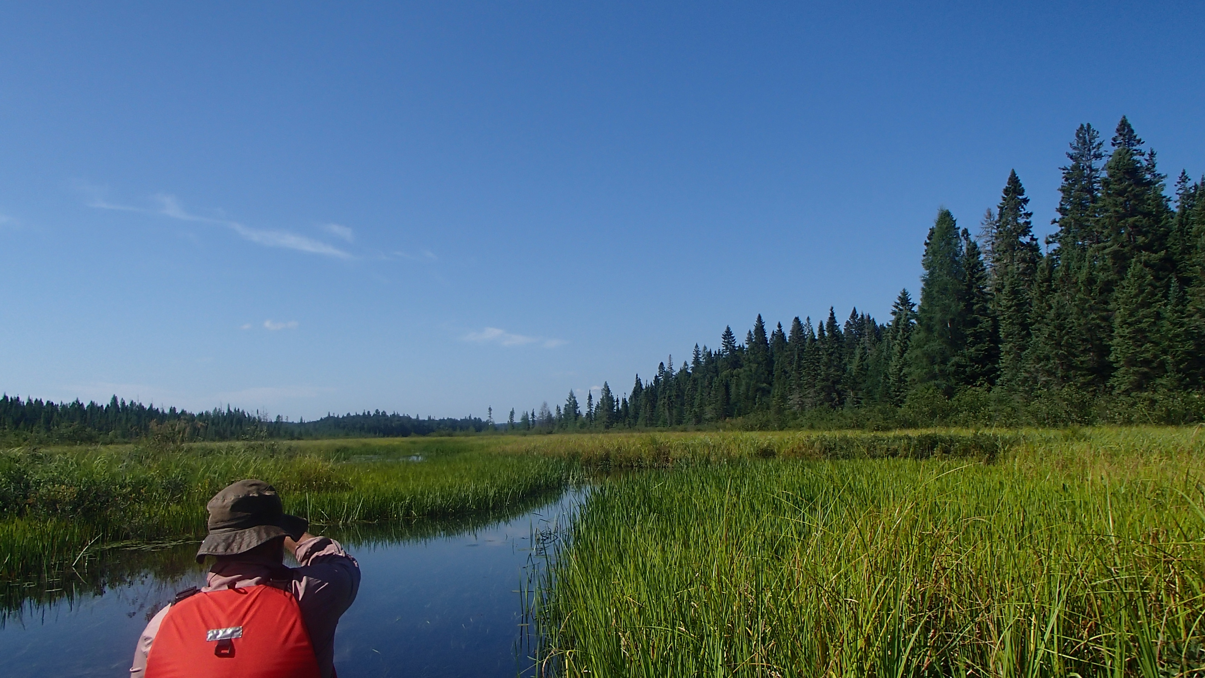
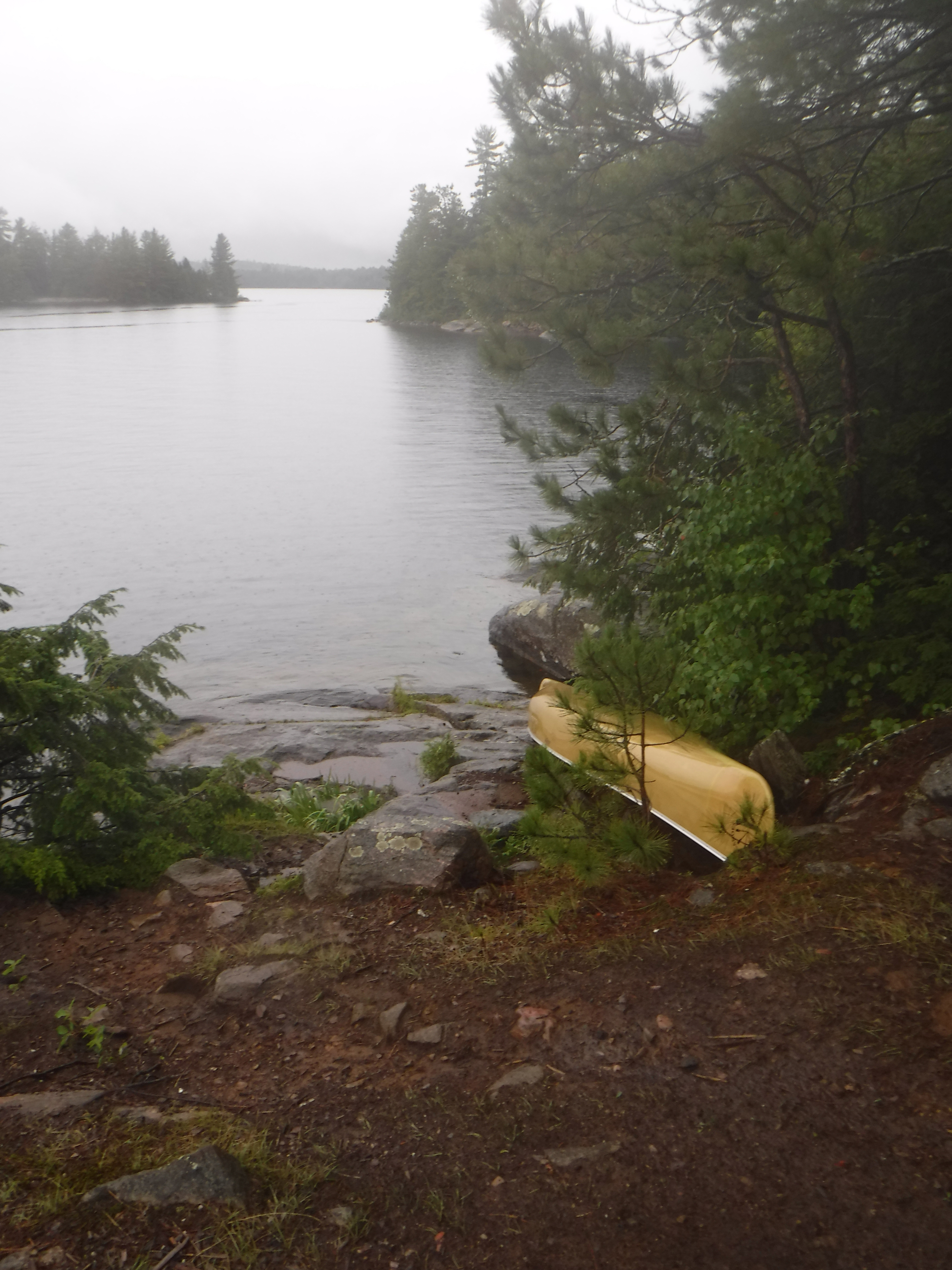
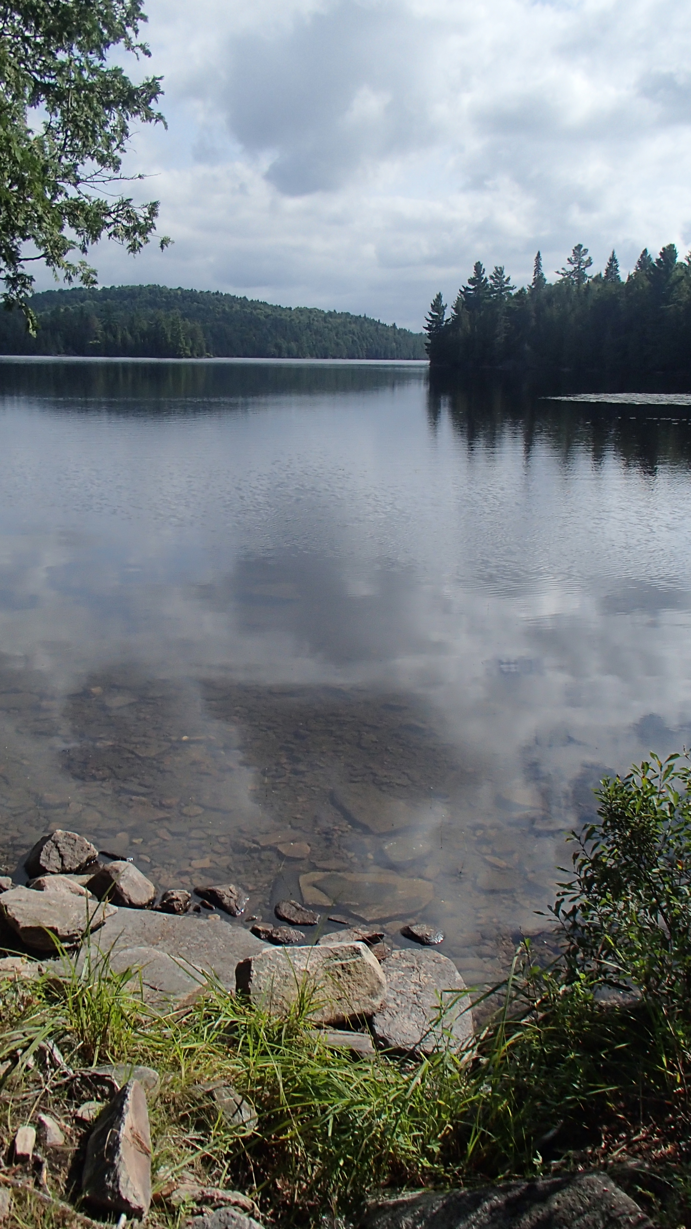
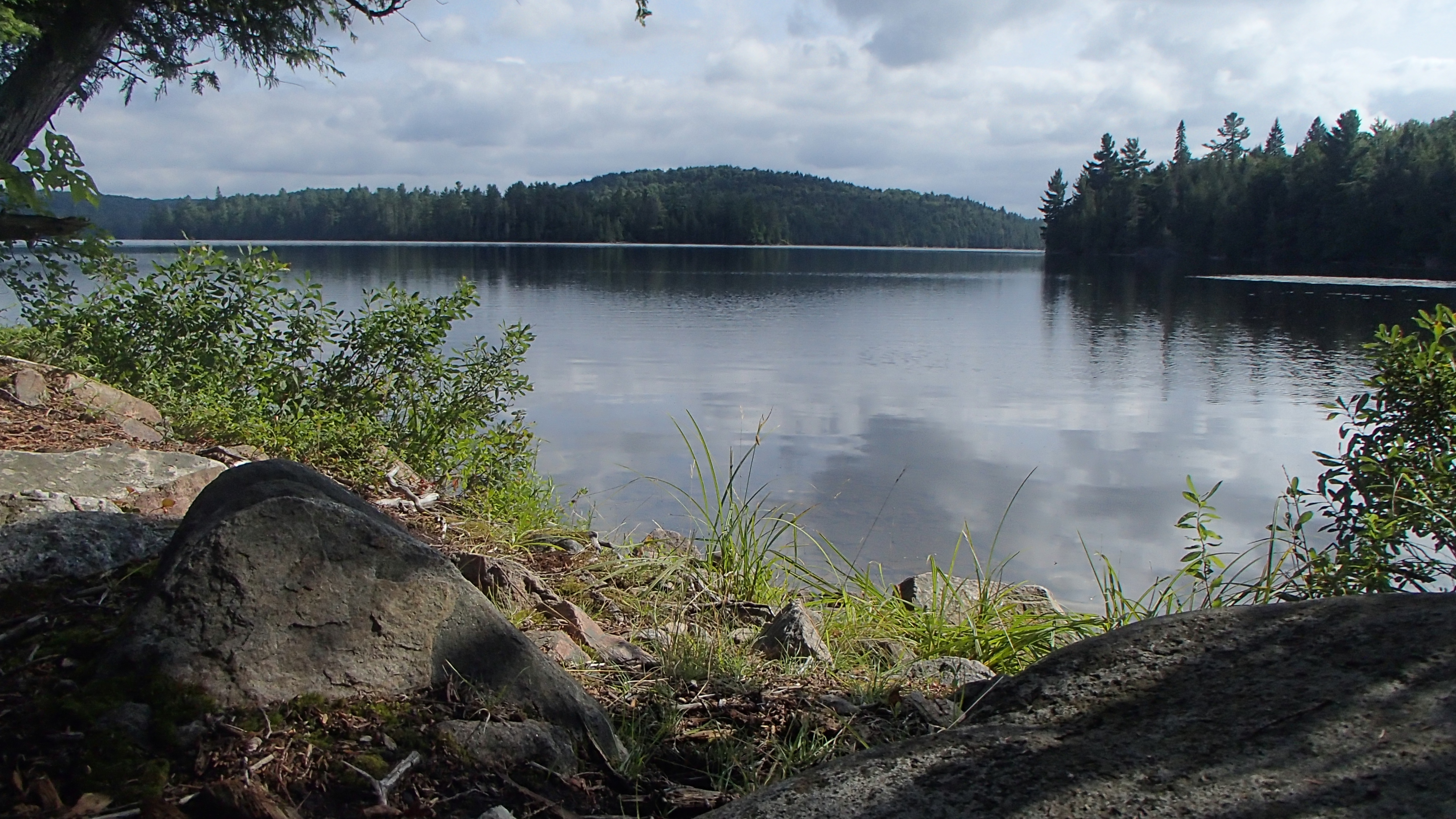
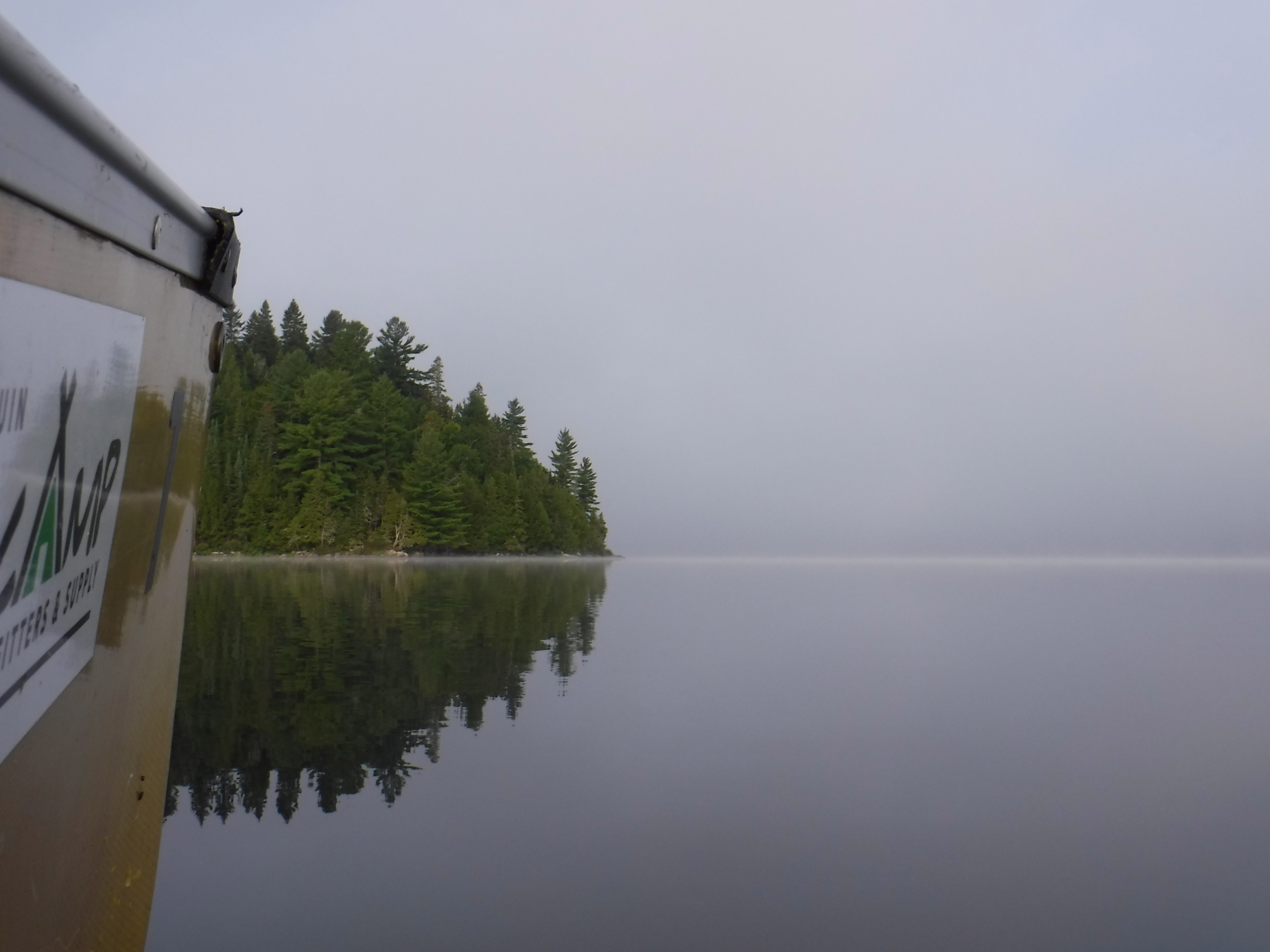
The paddle down Lavieille was a damp, misty afair. Our outerwear became wet quite quickly, but it never rained. No matter, as it was still quite warm despite the thick mist and the previous day's rain. The 90m portage was the only one we have had to double back on since we started our yearly trips, as we had to accomodate the extra emergency 'fresh' water bags. We stopped at the campsite among the old red pines and had a good walk around. These trees aren’t as physically large as the white pines we visited on Big Crow, but they looked like they've experienced a lot over the years. We then stopped at a "beachy" island campsite to rate a thunder box, as we couldn't find one on the previous site. Whereever we went, the water appeared clean and clear to us. We were expecting floating clumps of goo, like we've experienced on Lake Erie, and what appear on the Algonquin site photos, but did not see any during our visit to Dickson lake. We followed the 'stay safe' directions given to us by the staff at the access point anyways. Dickson Lake looks to be a wonderful spot to stay for night or three, and the sites we visited look like they are all enjoying the rest.
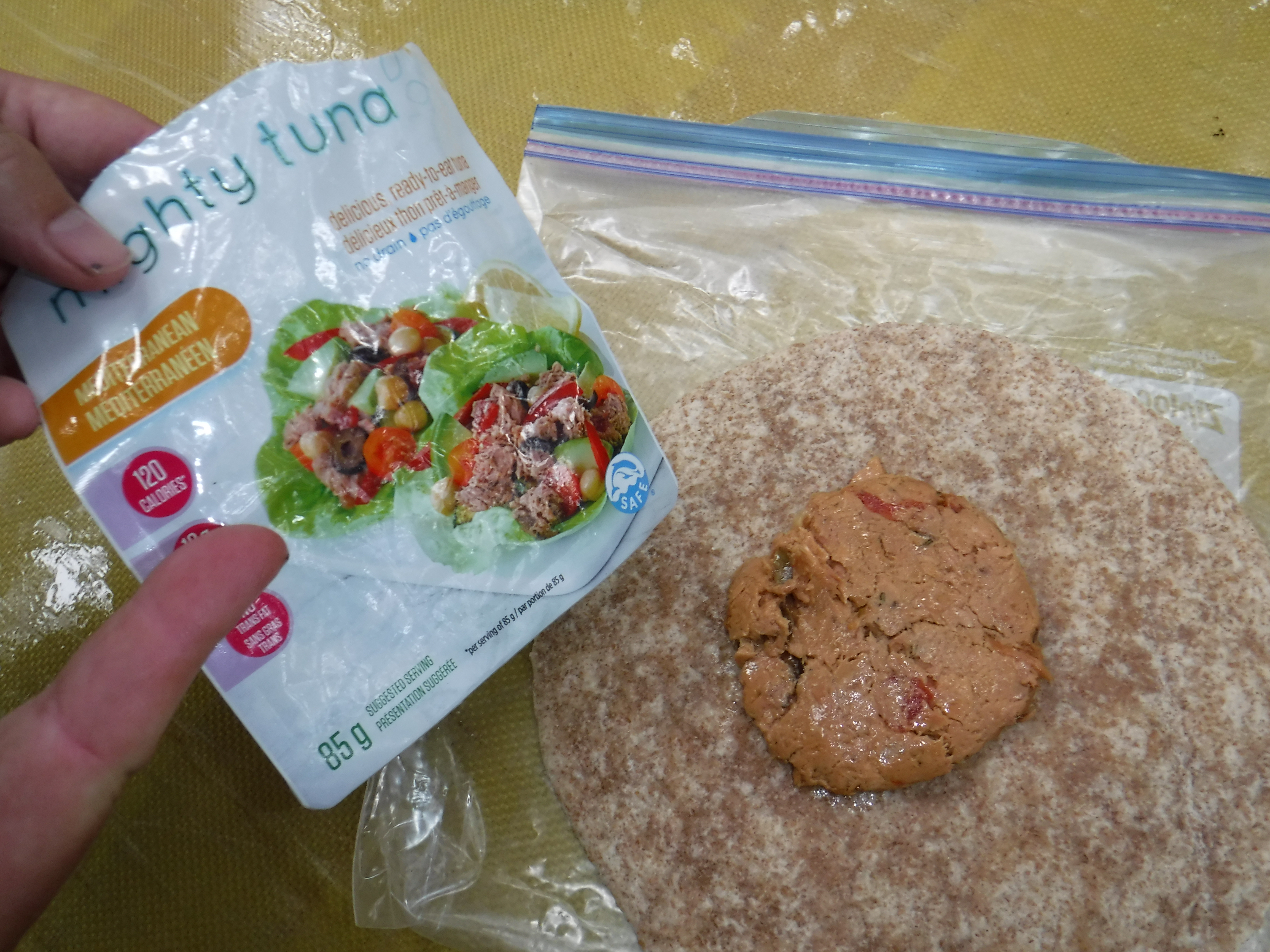
With our exploring of Dickson Lake complete, we headed for the start of the 4895m portage to Round Island Lake. We didn't find much information about this one, other than a few vague statements that it was "tough", and the maps indicate "some" elevation changes were to be expected. We refilled our water bottles with the water we had stowed, dumped the remainder, had a quick "tuna slider" lunch, and began. The portage is tough, and long, but has some redeeming qualities too. It begins by going up, and then goes up some more, with some steep sections heading upwards in between. Somewhere inbetween up, and steeply up there are two (or.. maybe three?) ravines, one of which was steep enough that we slid the canoe down as I couldn't figure out a safe way to carry it. Then, just when I could not take uphill anymore, the trail mercifully leveled out into a beautiful hardwood forest, which we found to be a very pleasant place to spend some time. Eventually, there is a short boardwalk, and then we arrived at Round Island Lake.
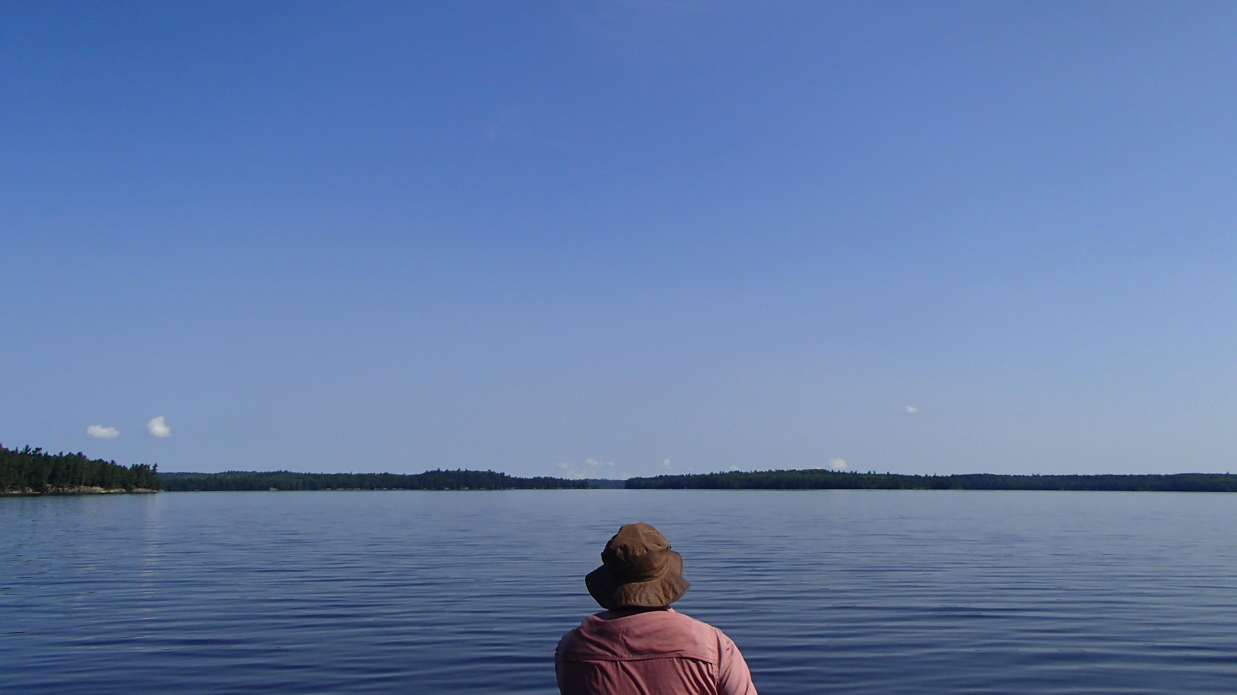
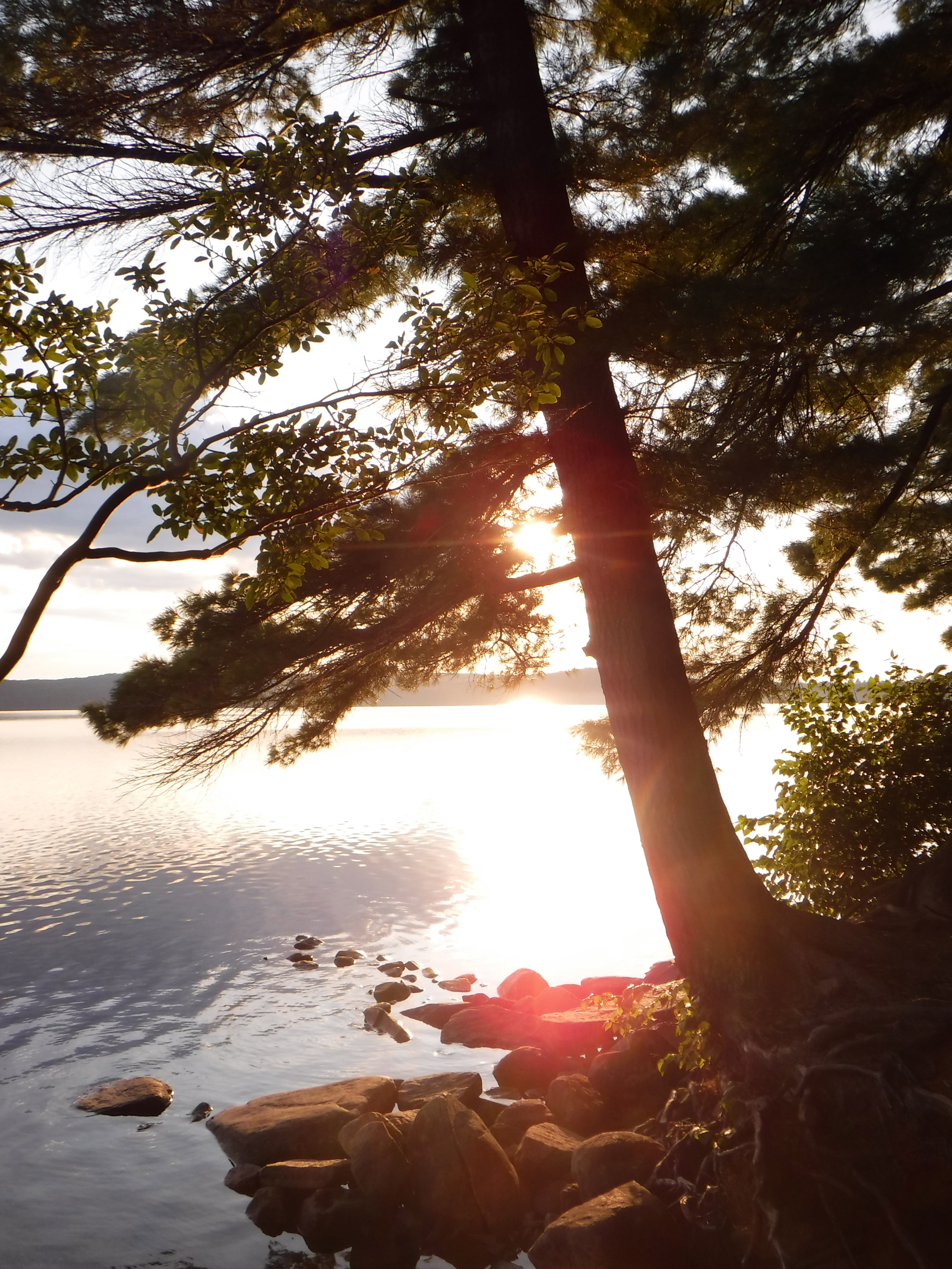
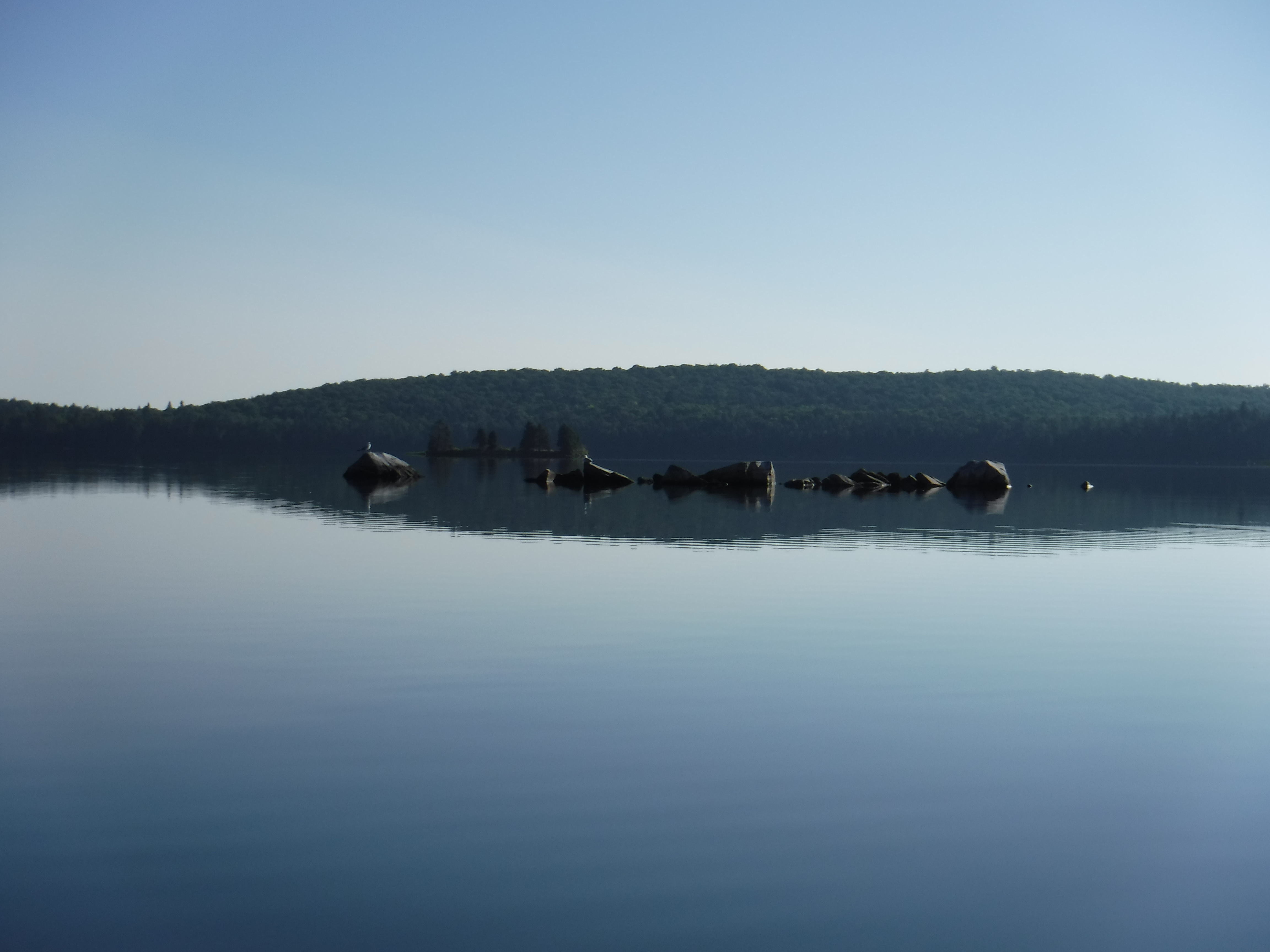
At some point during our walk in the woods the sun had come out, so the lake looked extra pretty when we arrived. As we paddled around the lake everything became quiet and still. We visited all the sites looking for the best one. None are much to write home about. We ended up on the point, which was the most open of the bunch. We laid out on the rock for a bit, relaxing. A loon came by and gave us an energetic show of flapping around and calling. We collected some firewood (two fires in a row!), cooked up dinner, laid out on the rock relaxing some more, and watched the stars come out. We managed to stay up much later than we had thus far on the trip, and it was a beautiful evening to be out. Eventually we turned into our fly-less tent and fell asleep.
Day 8 (Sunday): Booth Lake, Via a Blur of "Lakes"
We woke to another misty morning. Luckily the mesh top of the fly-less tent was just enough to keep the morning dew off of us. As we packed up the loon returned to give us another unique show. Perhaps their nest is nearby, though it seems quite late in the season. Hopefully our presence didn't disturb anything.
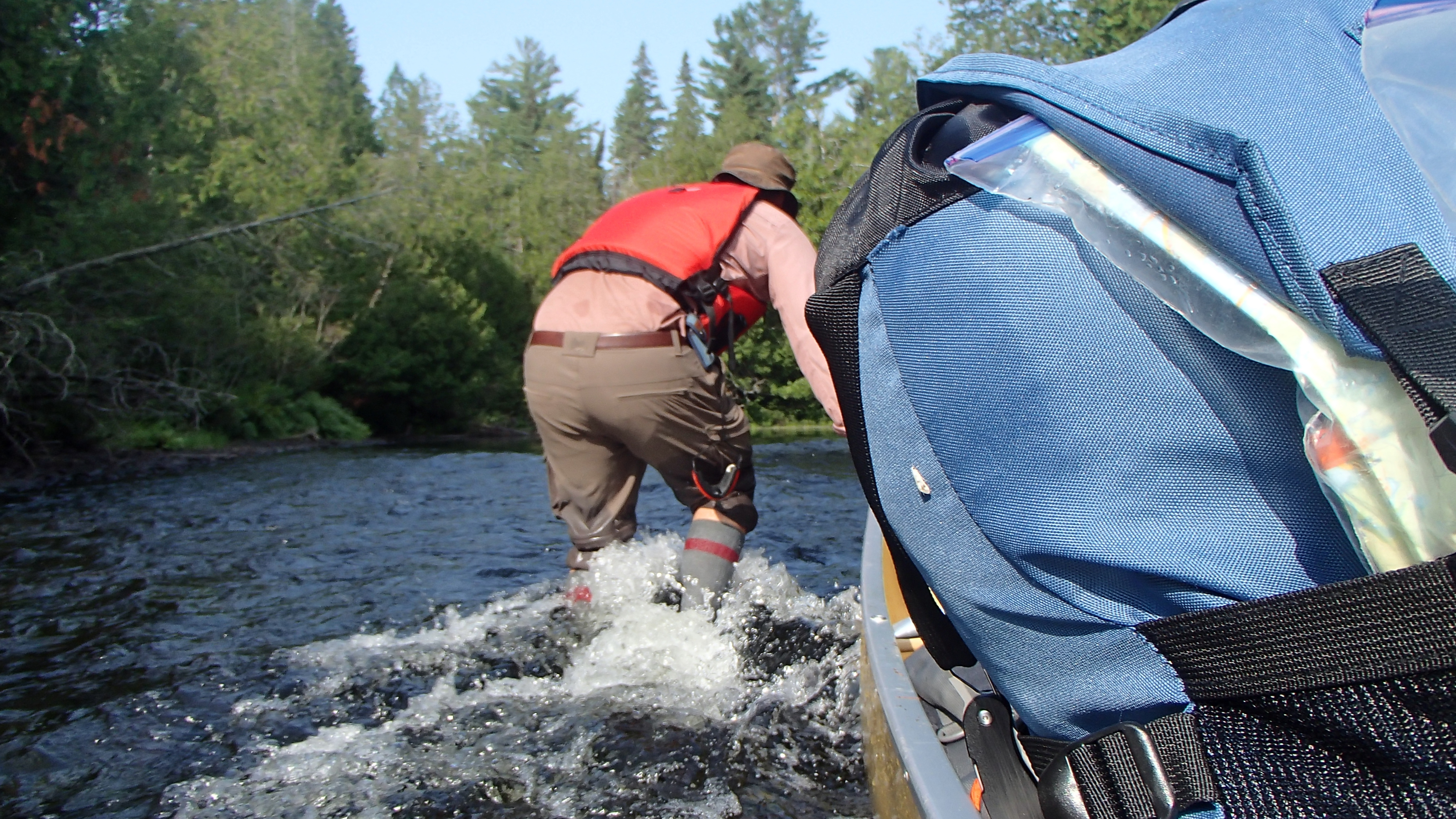
We completed the short paddle to the portage and were on our way. The first 680m portage is basically a long boulder garden that took us extra time to pick through. It ends at a lake that is really just some muddy water that we had to wade into to reach a "navigable" section. The entrance to the next portage required another thigh deep walk in the muck, and is more or less the same boulder garden strewn trek as the first. Tricky footing while carrying the canoe continues to be my biggest challenge on these trips.
The next portage, into Presto Lake, was one of the toughest endeavors I've encountered thus far. It started with a log-jam, and an improvised landing. The first portion had us walking on what appeared to be an old creek bed, complete with wobbly boulders, and no footing. Then the path disappeared. We found it, lost it, then found it again. We then found ourselves walking out in the open on some soggy ground partially supported by a rotten "corduroy road" type affair. Despite our struggles we had to stop for a few moments in the open meddow to admire our surroundings, which were a serene oasis that easily absorbed our mud-caked fatigue, and pushed us onwards. The next portage into Chipmunk was easier, if a bit overgrown. I didn't know it could happen, but the constant sound of branches scraping along the bottom of the canoe as I pushed through all of the overgrown trails had become overwhelming. Our working theory is that this route hasn’t been traveled much since Dickson lake has been closed to camping. Given our difficulties, perhaps this route isn't traversed much at all...
The last portage is marked 1975m. We decided that if it turned out to be as tough as the Presto Lake portage, we might as well declare ourselves permanent residents of Chipmunk Lake, and just stay there forever. Thankfully that portage follows what appears to be an old road bed. We nearly beamed across that portage and were on Booth long before anything or anyone could change their mind.
We followed the north shore of Booth, heading east hoping for a beach campsite. We had our minds set on a resort like setting to supply a few hours to recover from the day’s travels and wash off the caked on mud. Right away we felt there was quite the buzz on the lake. There were a good number of people here, and every site we had come across was occupied, most with a party like atmosphere. There were coolers scattered here and there, and frisbees being thrown on the beach. There was even a group that had set up some sort of make shift gym with log weights and other apparatus complete with people vigorously completing callisthenic routines. We looked on, caked in mud, and looking confused. The exercisers noticed our confused gaze and assured us they had not lost their minds, while likely wondering how long we had been lost.
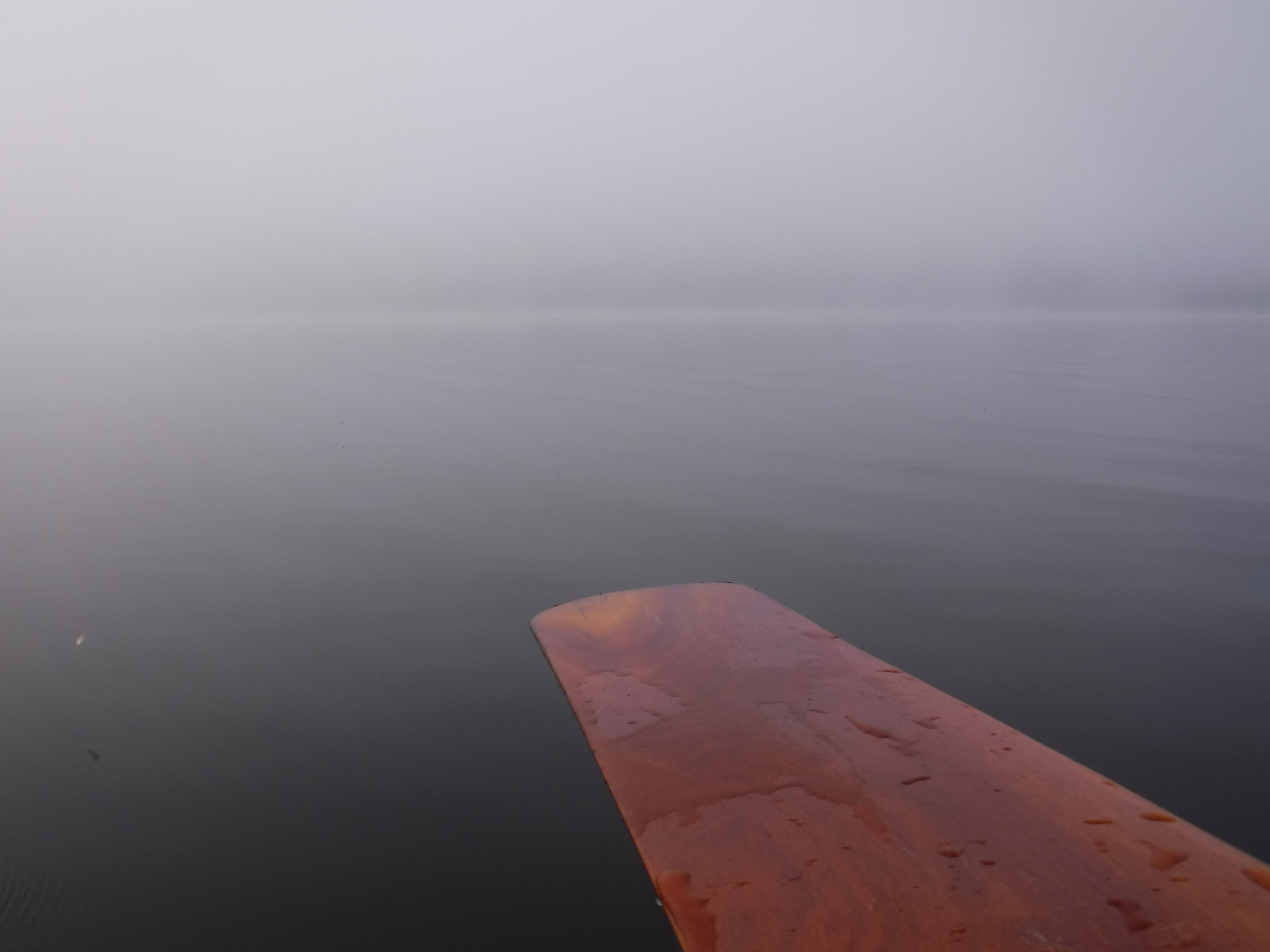
We landed on the first un-occupied beach site we came across on the north shore, PCI #3. We immediately noticed that someone had put together about eight feet of split driftwood Algonquin chic tiki-bar. Beach, and level prep surfaces at standing height. The tent pads looked to be an old road bed. We were home for the evening, and ready to join the Booth Lake party.
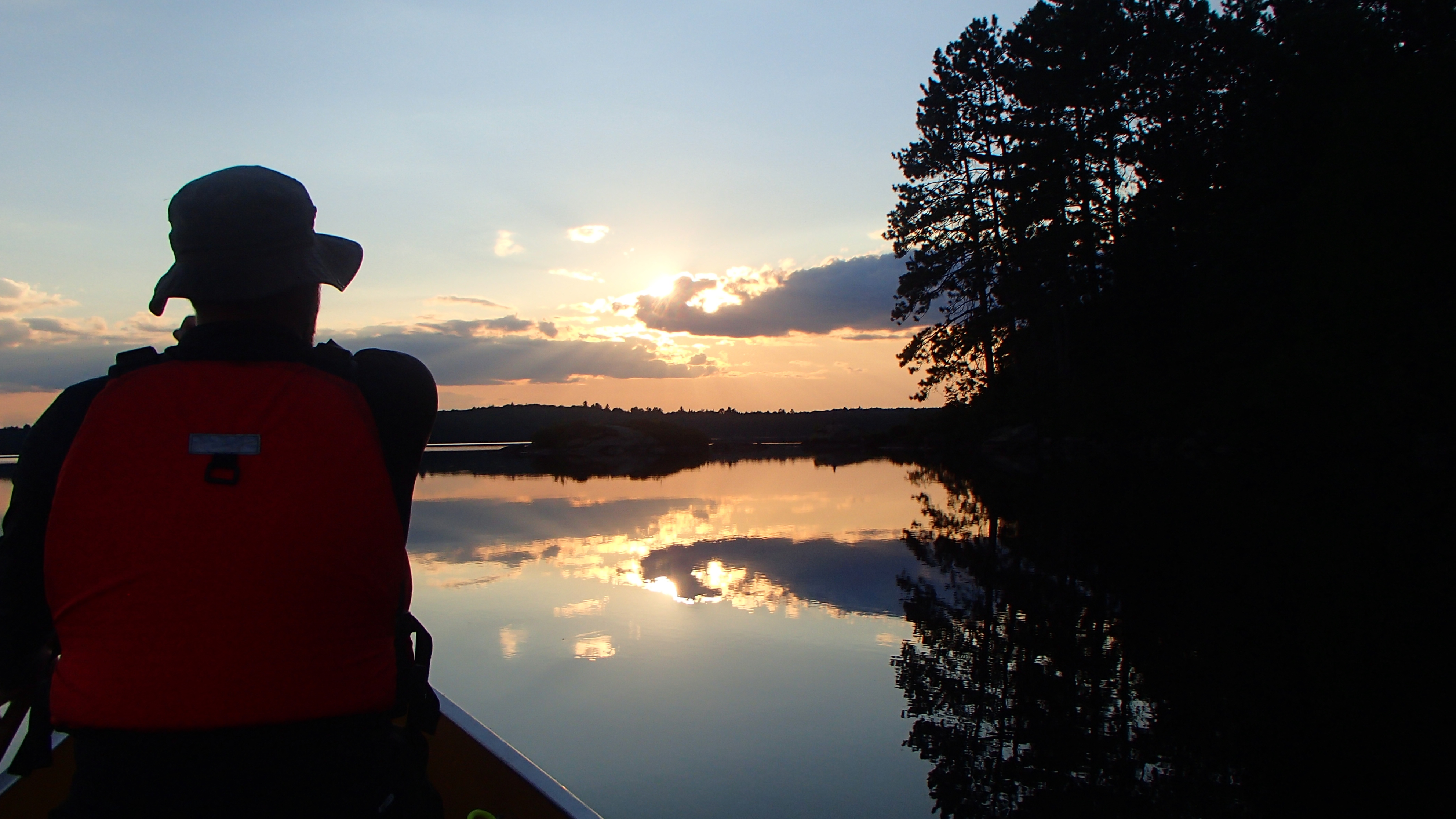
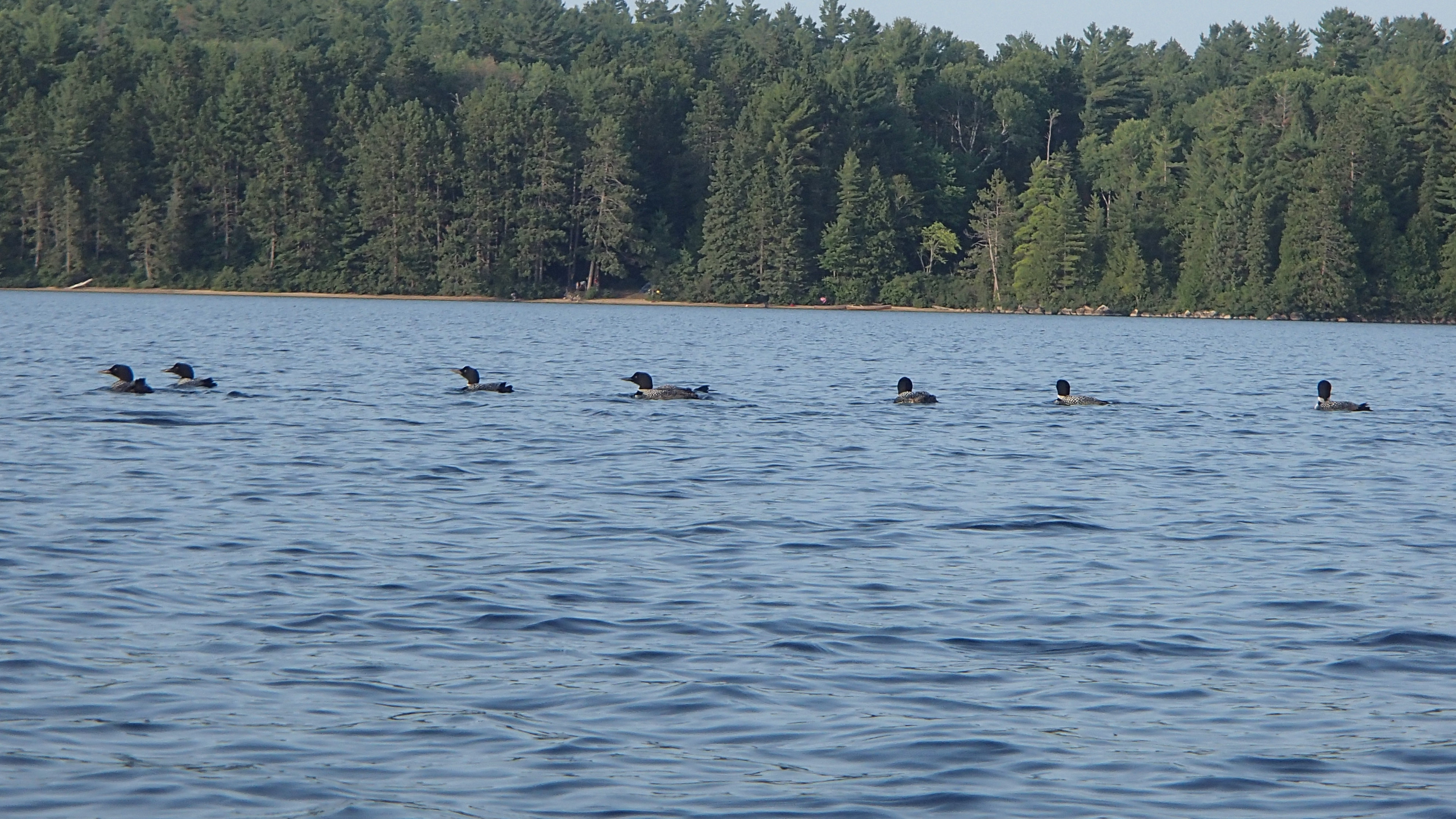
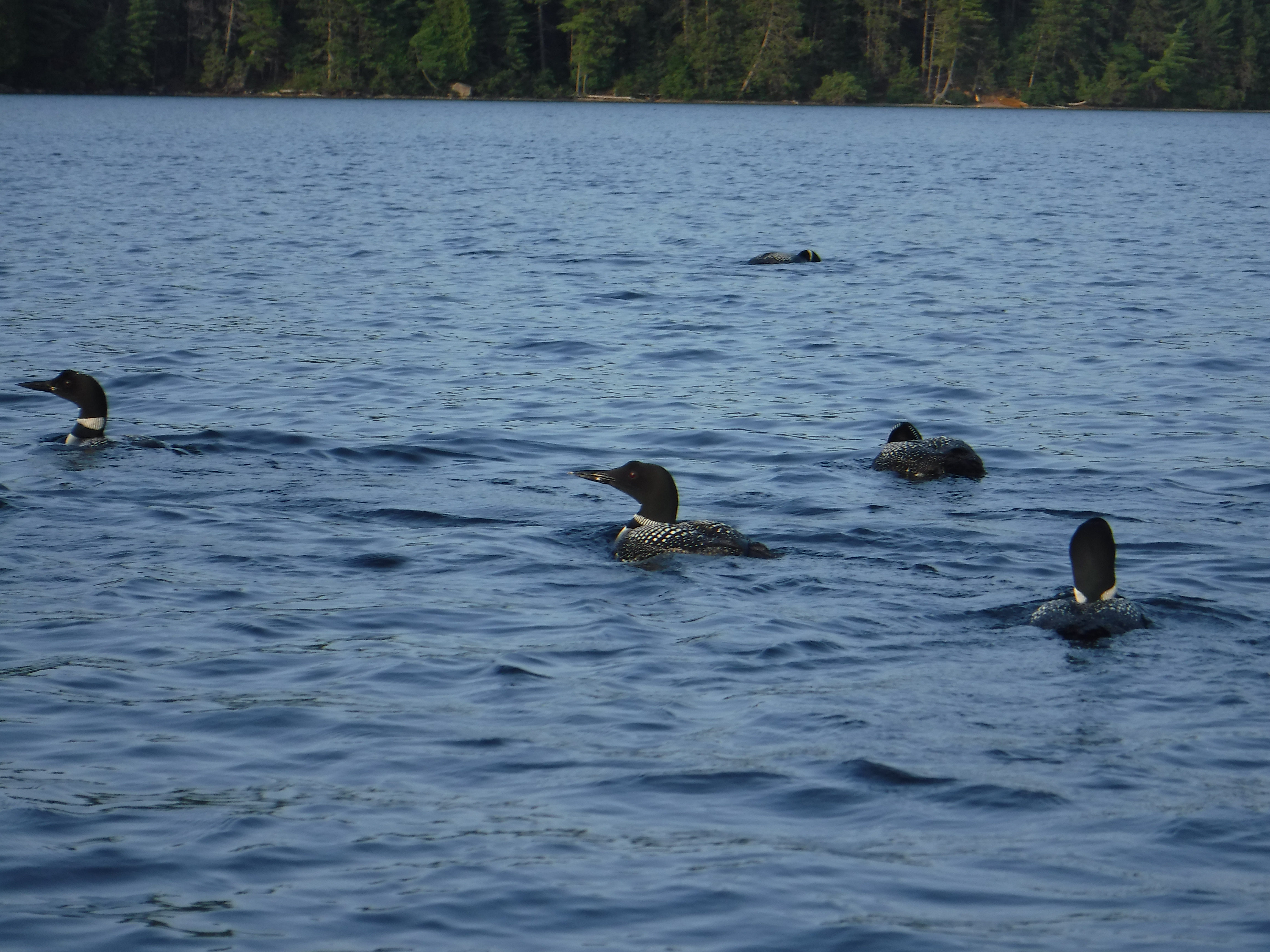
We washed up our muddy clothes, ourselves, and then sat in the water enjoying the sunshine and calm weather. We swam. We napped. We ate. We went for a paddle at sunset, watching a group of eight or nine loons perform some crazy dance together. We're not sure what the loons were up to this year, but they were putting on one heck of a show! We collapsed on our tarp, once again sleeping under the stars, though the moon was getting bright enough to make that more difficult than it had been at the beginning of the trip.
Day 9 (Monday): Booth Lake to Opeongo, Via a River of the Same Name
It was a beautiful misty morning, and the lake was quiet despite all its inhabitants. If there were fisher-people on Booth, we beat them onto the water. We hugged the opposite shore of the lake as we paddled back up its length to the 770m that would put us on the Opeongo River. There were folks staying at the cabin at the mouth of the river, and they were up and about as we passed by. The first portage followed what looked like an ATV road bed, making it an easy carry, but not before we finished picking up about a million feet of fishing line that was tangled along the shore at the portage entrance.
Paddling up the river was tough in a few sections. There were several swifts we were surprised did not have an available portage. We guessed not too many people make their way up the river, but it would definitely be fun to come down it. We managed to push our way up a couple more swifts that allowed us to skip a short portage or two. We didn't skip the longer portages, as they also followed the old roadbed, and pushing up the rocky swifts is hard on the ankles...
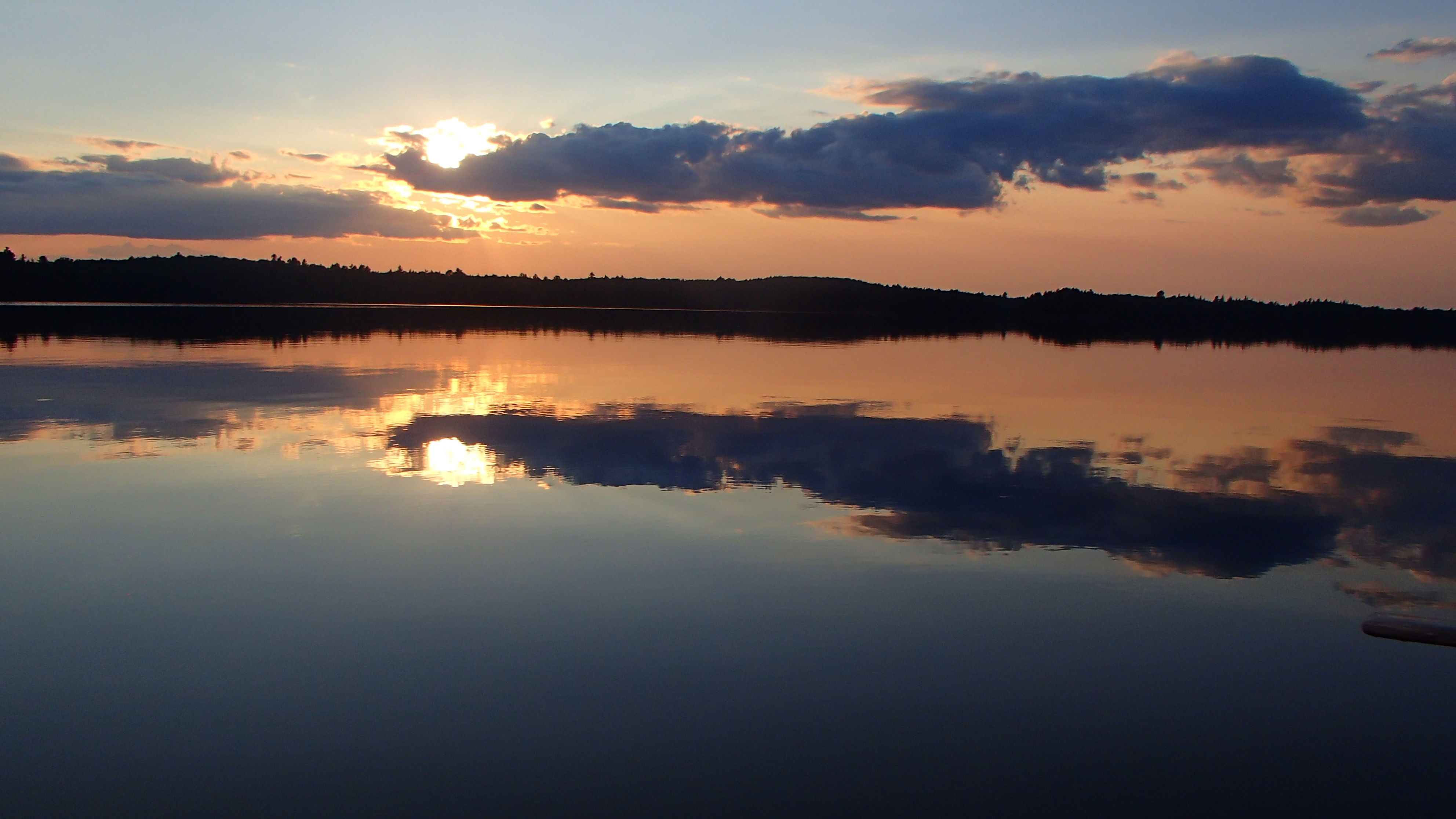
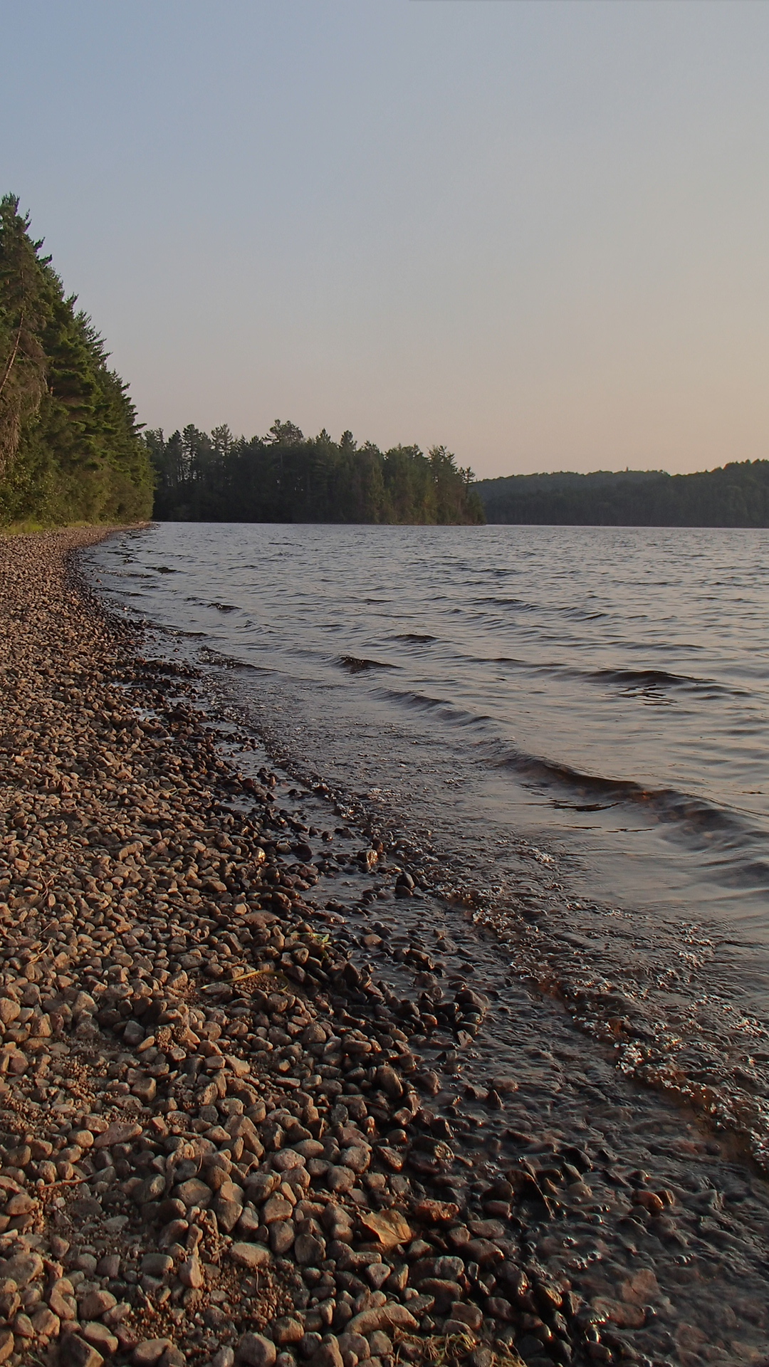
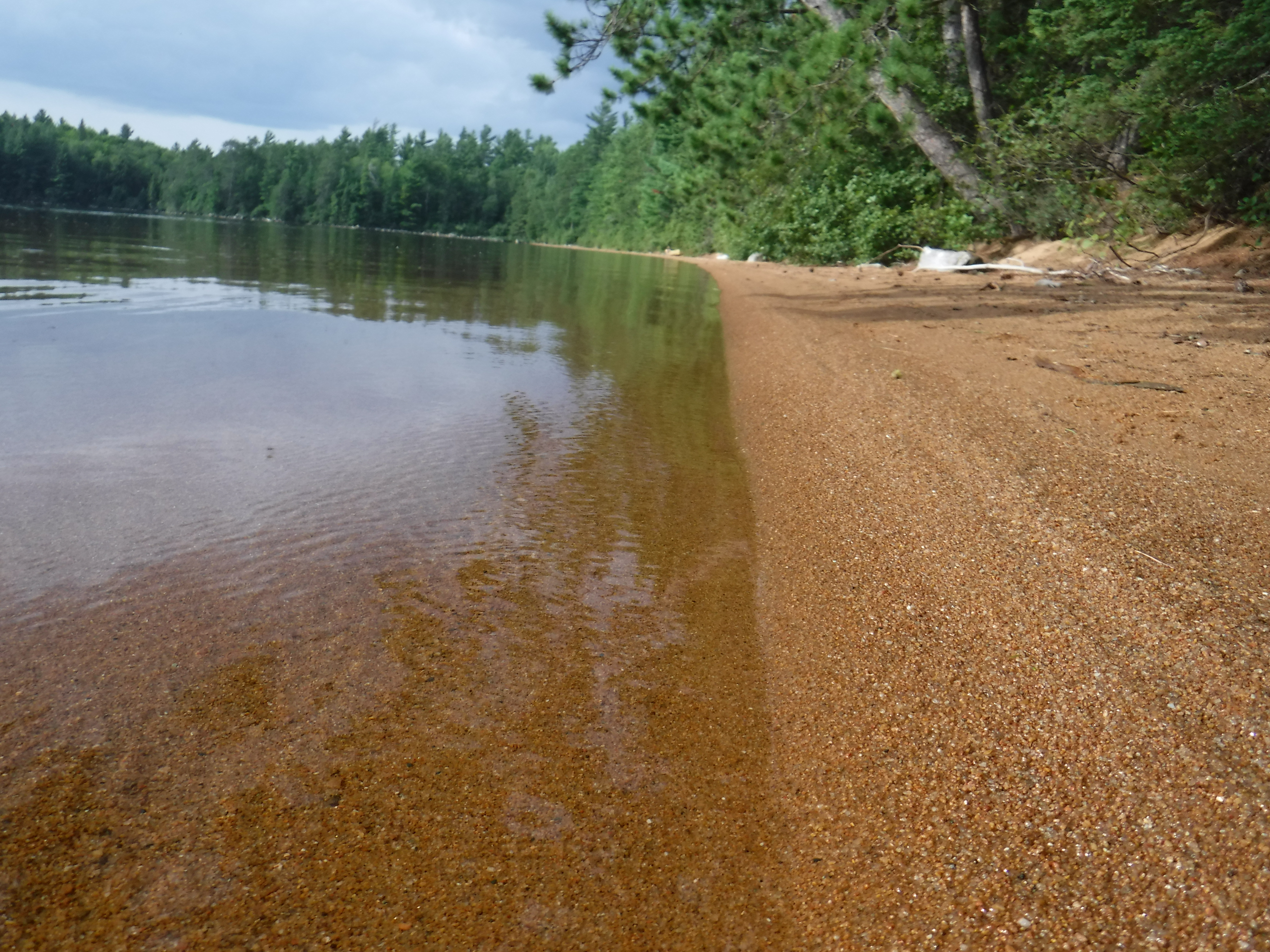
There was only a trickle of water coming over the dam controlling the water level on Opeongo Lake. The sound of motor boats could be heard for the first time, which feels almost alien for the first ten seconds or so after a week of not hearing them. We were scheduled to stay on Annie Bay, but every site we passed was occupied, including a glorious looking one on the eastern point, reached by motor boat (grrr!). We stopped on one on the east shore of Opeongo, near the entrance/exit to Annie's Bay. It was nice and level, with a sandy landing and beach. It was quite a wide-open site that could accommodate a fair number of tents, and probably has by the looks of things. We sat on the beach, swam, ate, and debriefed the last few days we had experienced. This was the last night of our trip. We were sad to be at the end, and at the same time ready for our beds. We laid out on the tarp late into the night trying to spot stars between the clouds which, in the end, made us opt for the tent on our last night.
Day 10 (Monday): Heading Home
Our last morning was cold and breezy. Take down was easy, and we didn't bother getting everything stowed in our packs as there was no more portaging to be done. We made our way west, passing a few occupied sites. By the looks of things powered watercraft are a popular way to get to Opeongo sites. None were running though, and we didn't see much movement on the sites yet either.
As we approached the exit to the east arm we realized we had been sheltered from the wind. We had to work quite hard to push through the wind and waves to get to the more protected southern shores. It's always fun to have the bow of a canoe crashing into white-capped waves! We used a couple of islands as strategic rest points, slowly picking our way across to our goal. We didn't mind so much, since the weather had been pretty much perfect for our entire stay. This last leg marked the first time we even had to consider the wind while we were paddling.
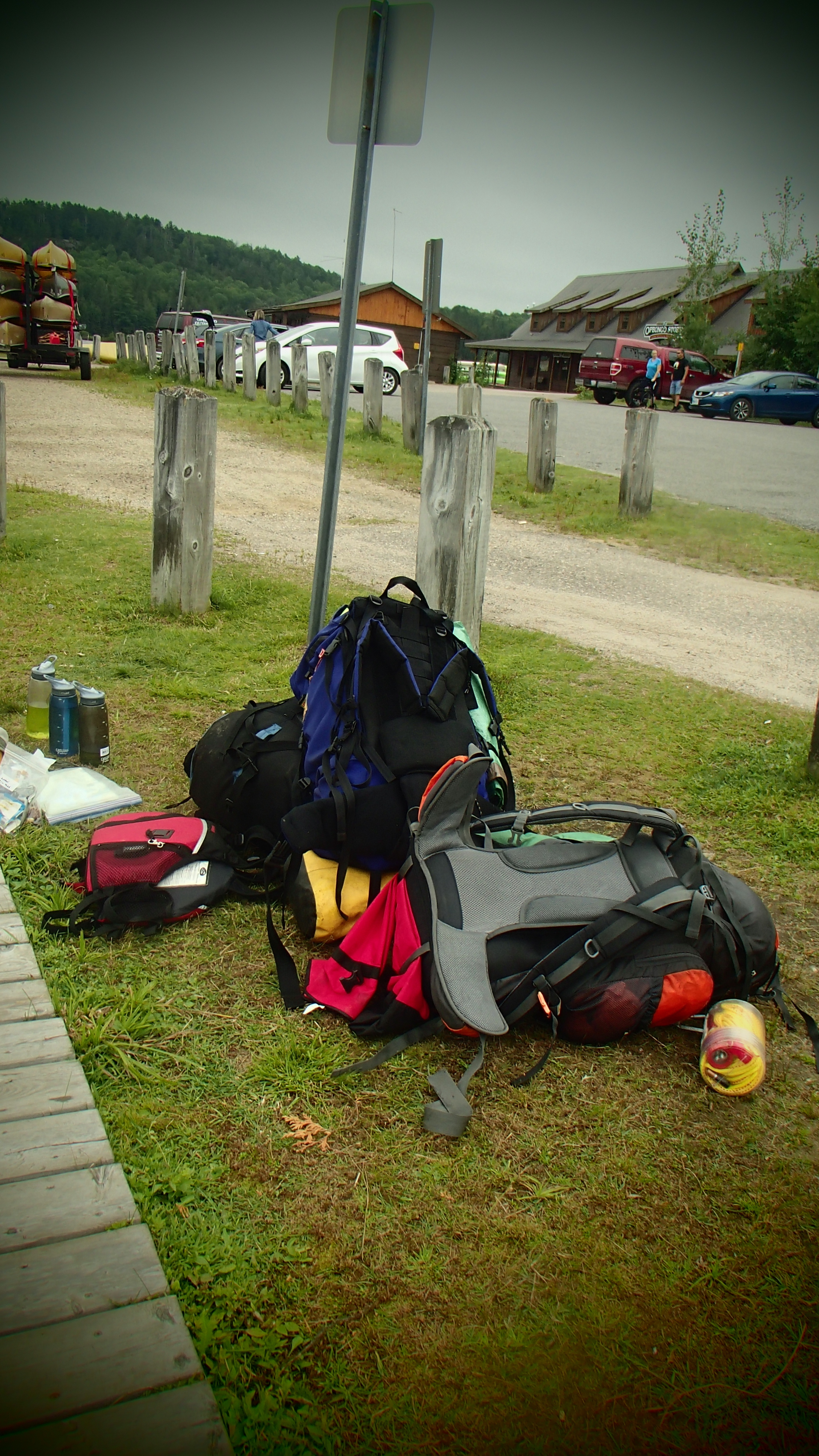
The wind did make for a longer paddle, but we eventually reached the access point dock. It took us some time to get the blood flowing to our legs so that we could climb out of the canoe, not being able to find a safe spot to land once we left the east arm. We unloaded the canoe, brought down the car, and packed everything up. It is always bittersweet to get to the end of our canoe trip. Once packed up we made use of the shower facilities at the access point, a decadent experience. Joshua treated us to ice cream cones, which we sat and ate while watching others head off on their own adventures as recounted our own. We look forward to next year, which will mark our fifth annual trip together.